
Last week’s travel allowed me to take aerial photos of the reclamation projects in Manila Bay. Here are the photos:
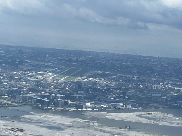
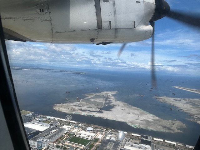 The view as we lifted off from NAIA shows SM’s reclamation project across from the MOA complex.
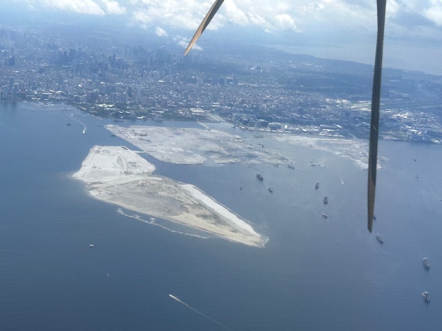
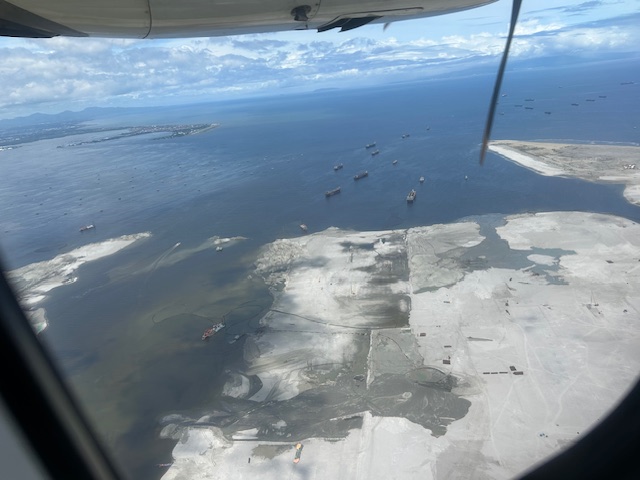 Our plane then climbed and afforded this close-up of sorts of the reclamation across from the now closed Sofitel Hotel.
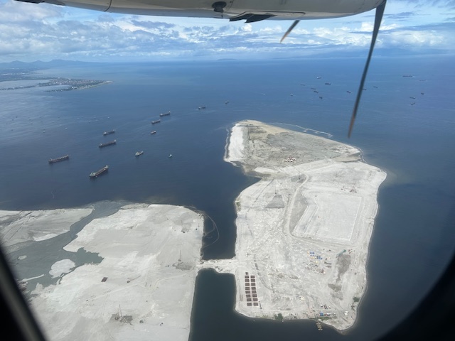 Past the largest of the three reclaimed lands is another man-made island.
 As our plane turned left, we were able to see all three reclamation projects
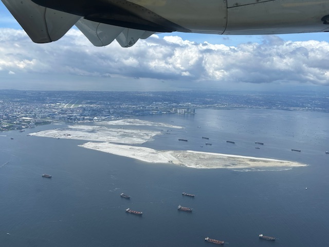
 A close-up of the reclamation across the MOA complex. Also in the photo is NAIA.
 All three reclamations in one photo as we continued to turn towards the south and southeast (towards Bicol).
More aerial photos soon!
–
