
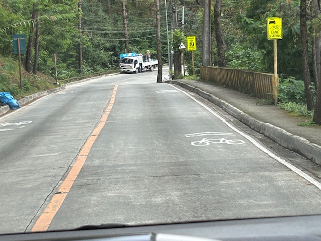
I have several drafts of articles about our recent travel to Baguio City. Those include write-ups about roads to/from and in Baguio City. Before I post about Kennon Road and Marcos Highway, I want to share some examples of shared lanes I was able to take photos of while going around the city. The following photos were taken along Loakan Road near Camp John Hay. It is the same road that takes you Baguio’s airport.
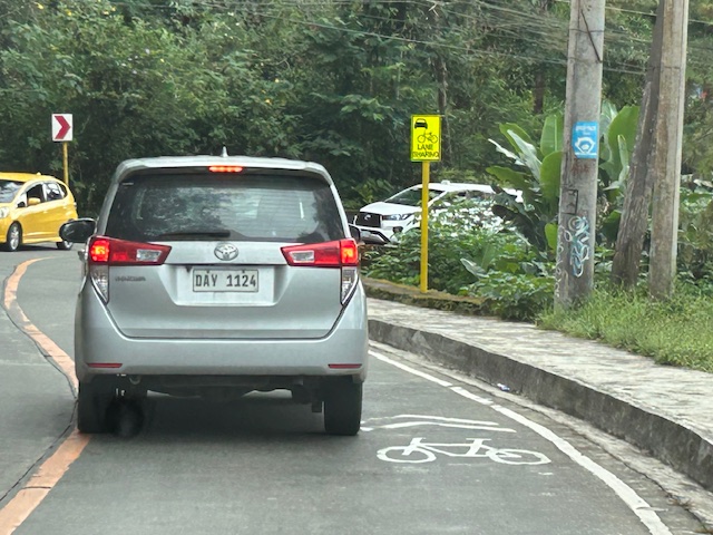 Note the use of the international standard for bicycle pavement marking. This is different from the rather odd bicycle marking in the DPWH guidelines that looks like a person on a treadmill (among other interpretations).
 The signs are also not standard and somewhat small as you can probably see in the photos.
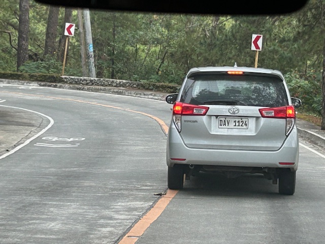 Chevron signs for the curve
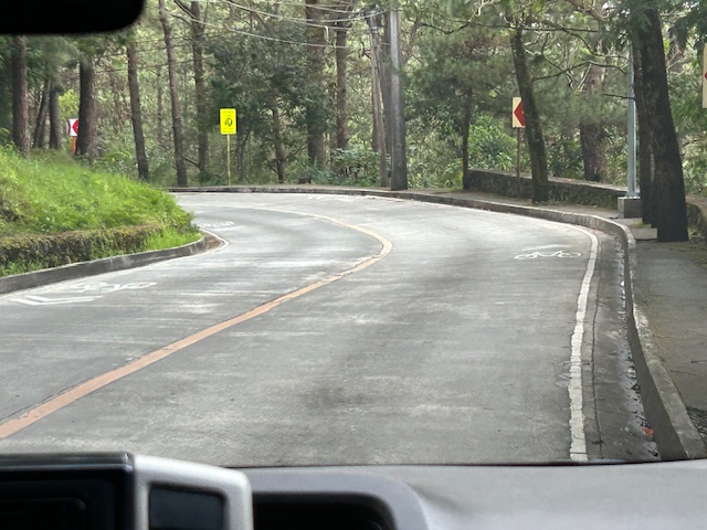 Another example of a curve section
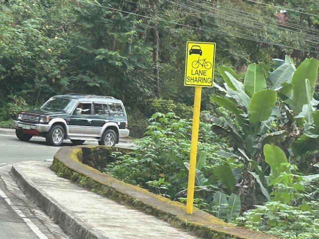
 There are actually two types of signs installed along the road – both state lane sharing but with the other directing bicycles to keep right.
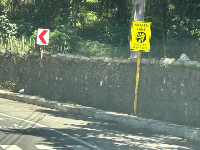 Two signs alternated along Loakan road. This one directs bicycles to keep right.
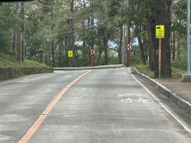 Signs and pavement markings are closely spaced. Perhaps the intervals are less than 5 meters for the pavement markings?
 Section showing pavement markings for shared lanes
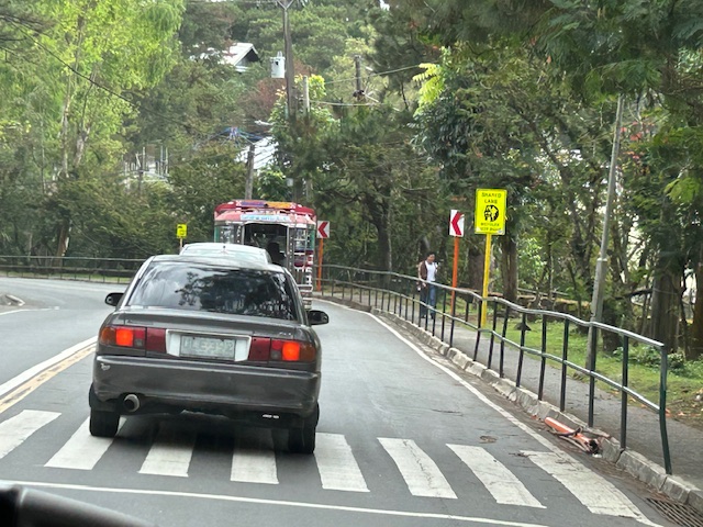 Pedestrian crossing and fenced sidewalks
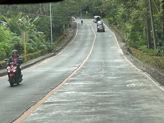
While shared rights of way (sharrows) or shared lanes is not preferred where there is space for bikes, these can be implemented for 2-lane roads with adequate lane widths such as Loakan Road. It is clear from the photos that there is ample if not generous space for cyclists and motorists to share a single lane. The premise for safety here is that motorists will not be hogging the road space, being mindful of cyclists, and will move at safe speeds.
–
