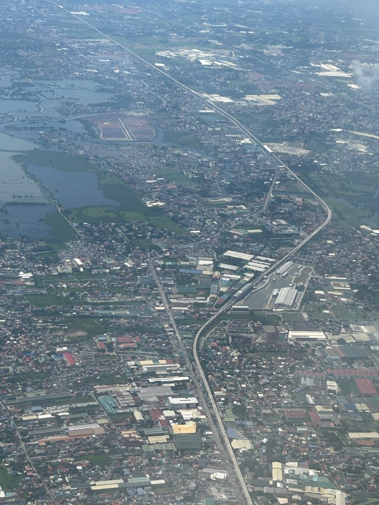
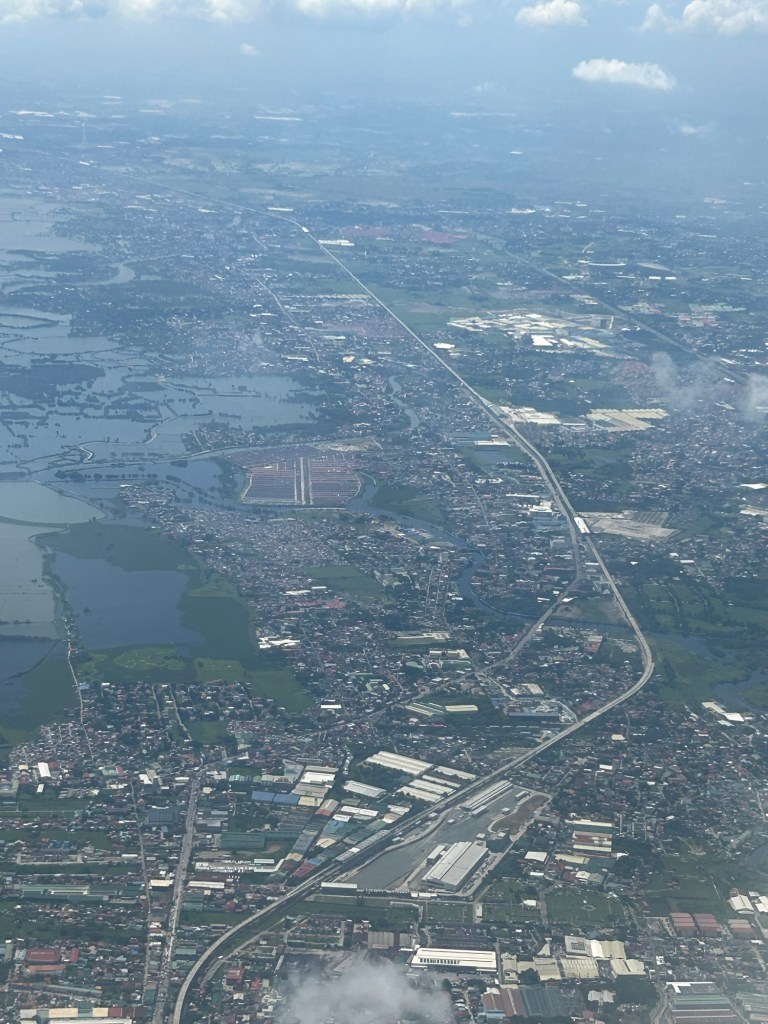
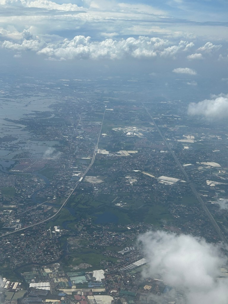
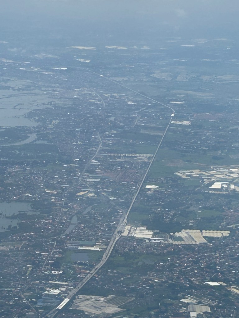
I would just like to share a few photos I took while our plane was turning towards our Bicol destination upon take off from NAIA.
The rehabilitated line to the north is already elevated. You can see at least 2 stations in the photo above. Another shot showing a closer look at the NSCR West Valenzuela Station that includes a yard or depot. The next station is Meycauayan, and then Marilao. Further north is Bocaue StationI took the photo before the clouds obscured the landscape. NSCR is practically along McArthur Highway/Manila North Road. Visible in the photo to the right of the railway is the NLEX. Marilao Station in the middle followed by Bocaue and Balagtas Stations.
I will again pose the following questions to my readers: will the NSCR become the game changer it’s supposed to be for both long distance travel and commuting (super commuting for some cases)? Will it decongest McArthur Highway and NLEX? Will there be a significant shift from car use to rail? Or will those taking road-based public transport be the ones mainly shifting to rail?