
You don’t see arches (arko) marking the boundaries of Rizal towns. A couple of weeks ago, I traveled to Baras where our office had its annual strategic planning workshop. Along the way, I drove along four towns – Antipolo, Teresa, Morong and Baras. There were few notable landmarks along my route unlike what I usually observe on trips to the north including the central Luzon and Ilocos towns where old buildings like churches and municipal halls (even houses) dot the way. Among the notables usually are the arches announcing your entry or exit to/from towns and provinces.
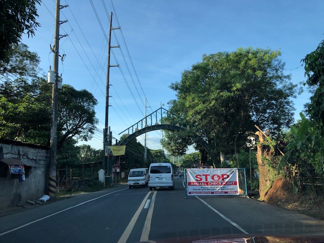 Arch between Baras and Morong along the Manila East Road
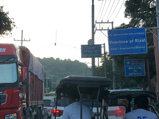 Signs marking the boundary of Teresa and Antipolo
Were there arches before for Rizal towns? Perhaps. What happened to them? Many probably were demolished due to road widening projects as the additional lanes meant the arches for the previous 2-lane roads became obstacles that increased the risk for crashes (i.e., vehicles crashing into them). I wonder now if the arches in Tarlac and Pangasinan towns survived the road widening projects there.
–
