
In a recent trip to a school located near Daang Bakal, I took the opportunity to ask my passenger to take photos of what used to be a railway corridor connecting Manila with Antipolo.
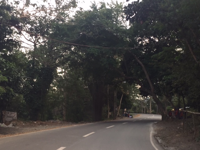
 Section before the Victoria Valley gate (view away from the gate) along which is a community
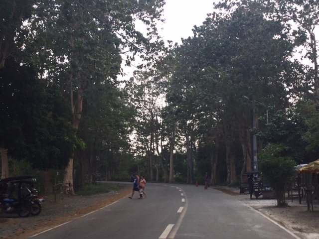
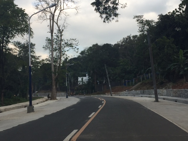
 One side of the road has been widened. The other has a lot of trees that would have to be cut or balled in order to build an additional lane.
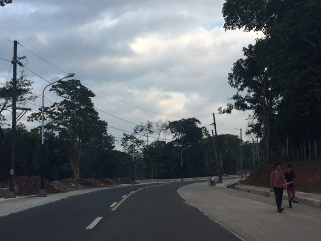
 Widened section towards the Parish of the Immaculate Heart of Mary
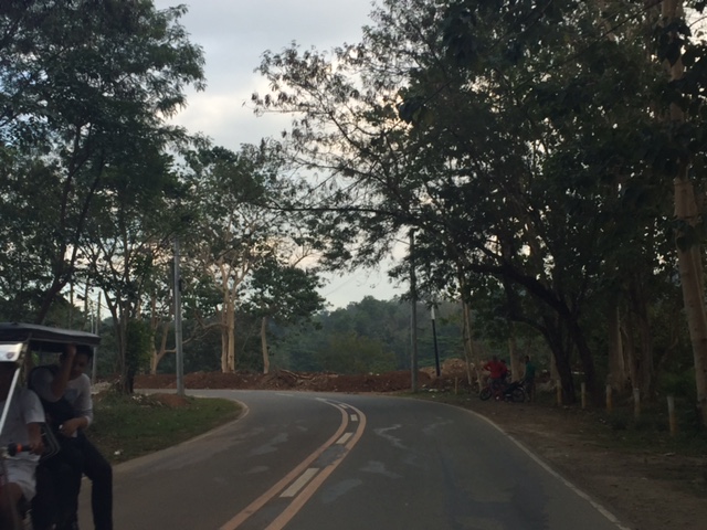
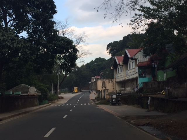
 Section across the Parish of the Immaculate Heart of Mary
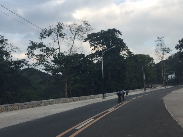 Skateboarders
 Power and light posts are yet to be relocated away and clear of the carriageway after the road was widened
 Many electric posts need to be relocated as they pose dangers to road users
 Section towards Hinulugang Taktak gate – the fence on the left is to secure the national park’s grounds from informal settlers
 Section across Hinulugang Taktak gate
One can only imagine how these places looked like many years ago when the Manila Railroad Company operated the Antipolo Line.
–
