
I enjoy taking aerial photos when the opportunities present themselves. Leaving Cebu for Manila a couple of weeks ago, I was able to take some nice photos as or plane took off and cruised over Mactan Island. Here are some of the better photos:
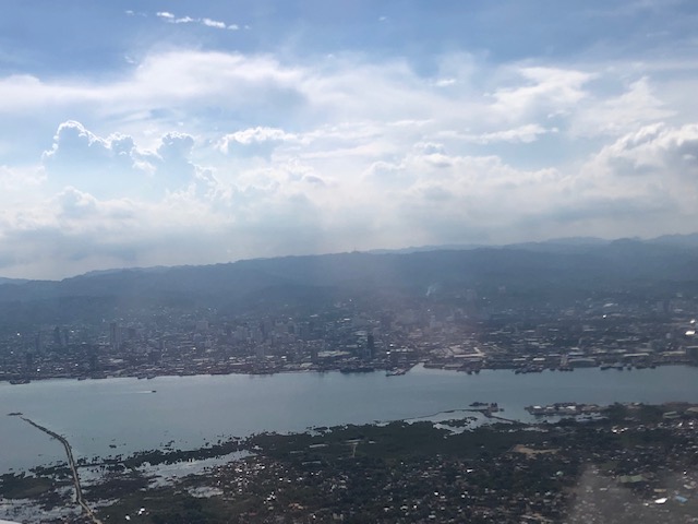 A view of Mandaue and Cebu cities across from Mactan Island as our plane took off from the airport
 Here’s a first look (a bird’s eye view) of the ongoing construction of the third bridge connecting Cebu and Mactan Islands. This is part of the Cebi-Cordova Link Expressway (CCLEX) project.
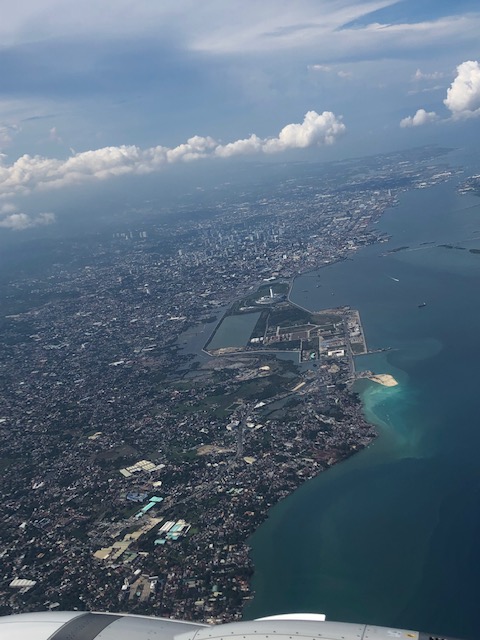
 Here’s another view of the island with the airplane engine in the photo.
 Here is a close-up photo of the island where tall columns will be built to support the CCLEX bridge. The viaduct in the photo is the one connecting downtown Cebu City with the South Reclamation Project area that includes the SM Seaside development.
 The SM Seaside as seen from the air
 Here’s a view of the South Reclamation Project area with SM Seaside as our plane turned north towards Manila.
 Another view of Cebu City and the SRP
 Here’s my favourite shot of Cebu and Mactan Islands with the SRP on the foreground, the CCLEX bridge under construction and Mactan International Airport
–
