
The Kalayaan Bridge, also known as the Bonifacio Global City (BGC) – Ortigas Center Link opened about a year ago and was supposed to ease traffic along the usual routes along EDSA and C5 that crossed the Pasig River. The new bridge is located between the EDSA and C5 bridges and is a more direct route to and from BGC if you reside in Pasig and choose the route to/from BGC via Pasig/Shaw Boulevard.
 The approach ramp to the bridge from the BGC side is in the vicinity of the Uptown part of BGC. The bridge goes over Kalayaan Avenue, which is one of the major access roads to BGC from C5 or EDSA, and J.P. Rizal Avenue Extension but there is access and egress to Kalayaan Avenue.
 The ramp is practically a single lane with painted bike lanes on either side of the bridge. There is noticeably no space for pedestrians on this bridge. That is only a curb on the right side. This lack of pedestrian provisions is a major flaw of this bridge.
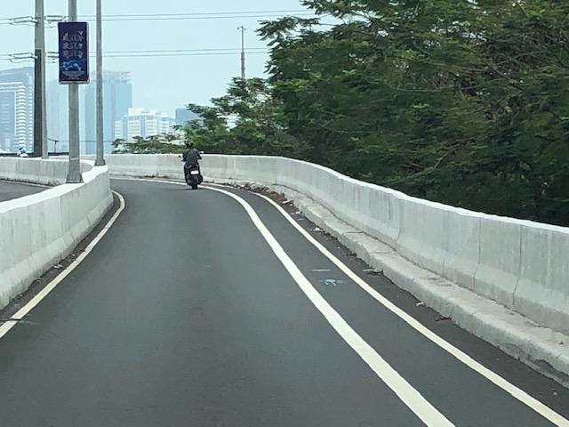
 A lone cyclist traversing the bridge – the merge for traffic from BGC and vehicles from Kalayaan Avenue is seen downstream.
 Approaching the merging section (from this perspective; its diverging on the other side) of the bridge.
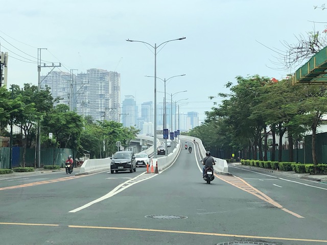
 A motorcycle merges with the traffic from BGC. Notice the chevron markings separating merging flows as well as the yield marking for vehicles coming from Kalayaan (i.e., priority is for vehicles coming from BGC). The bridge from this section becomes two lanes per direction. There is, however, a risky part for cyclists who will cross paths with vehicles coming from Kalayaan. Cyclists from BGC will have to cross a lane to get to the bike lane on the outer side of the bridge. There is no space for pedestrians along this bridge.
 There is only this part of the bridge where there appears to be a sidewalk. Was this really the design for this bridge? It is very obvious that many people failed in both design and implementation of this project.
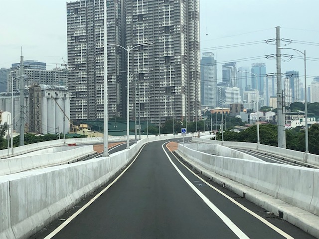
 The view towards the Pasig side of the bridge. There are two lanes per direction and narrow bike lanes along the curbsides.
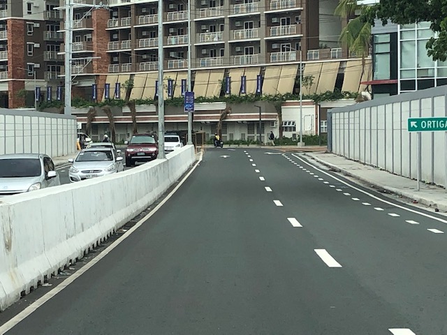 There is an intersection at the end of the bridge but the road immediately at the right is closed to incoming traffic so right turns are currently prohibited despite the pavement markings that indicate they were allowed at one time.
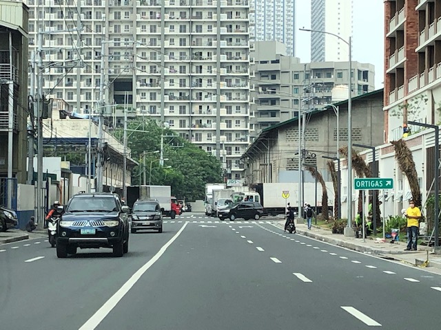 The road leads to this intersection which is in area generally referred to before as ‘Pioneer’. The area hosts many warehouses or storage buildings and I remember going here many years ago to check out the imported wood furniture and office surplus items. Turning right leads one to the area generally known as ‘Unilab’ because that was where United Laboratories had their plant and offices. It retained the property where now stands an events venue. Further on leads you to Kapitolyo and the Estancia Mall.
–

i don’t think the bridge is supposed to be used by peds to begin with. not necessarily a flaw if something’s a limitation.
You should be asking why a bridge like this wasn’t designed to allow pedestrians to walk on. It’s not a limited access bridge or part of a tollway like the NAIA-X or Skyway. It’s an opportunity lost for active transport.