
If you monitored the news articles and social media post over the past two decades, there seems to be an obsession for EDSA. Circumferential Road 4 is the busiest corridor in Metro Manila, stretching across several jurisdictions including Caloocan, Quezon City, Mandaluyong, Makati and Pasay City. Aside from the MMDA, national agencies like the DPWH and DOTr have been heavily involved in traffic schemes and transportation infrastructure development along the corridor. These include variants of the travel demand management (TDM) scheme commonly called number coding. Since the 1990s, there’s the Line 3 and several overpasses/flyovers and underpass that have been constructed along major intersections (e.g., EDSA-Shaw, EDSA-Ortigas, EDSA-Kamuning, EDSA-Quezon Avenue, etc.). Nowadays, people are more into the EDSA carousel and most recently the pavement rehabilitation for EDSA. It seems we failed to realize that EDSA is just one corridor. There are others that also demand attention including those in other parts of the country.
Recently, a “carmaggedon” along Marcos Highway was in the headlines or shall I say was trending in social media. There was a lot of excitement for what has been a recurring nightmare to those residing along the corridor. I recall something worse occurred more than 15 years ago (pre-Ondoy), before social media and influencers and digital creators. At the time, Line 2 terminated at Santolan Station. And even back then, the MMDA insisted on playing with their U-turn scheme. I don’t recall a more in-depth study that could have involved micro-simulation modeling being done for the corridor. And since then, populations and traffic have grown steadily and as I’ve written about previously, the extension of Line 2 to Masinag seems to have had little impact on traffic. And so here we are with the MMDA still insisting on tweaking their U-turn schemes and relying mainly on gut-feel instead of a more scientific approach that may actually lead to more sound solutions for the corridor.
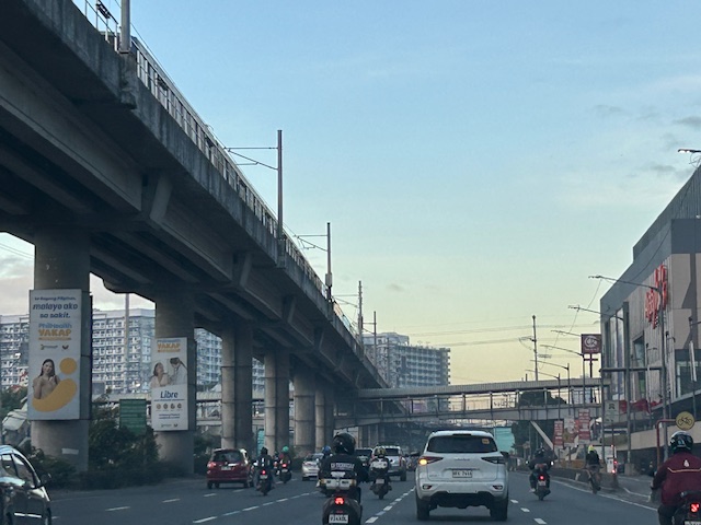
 Approach to Marcos Highway from Felix Avenue – that’s the elevated Line 2 superstructure behind the Cainta arch.
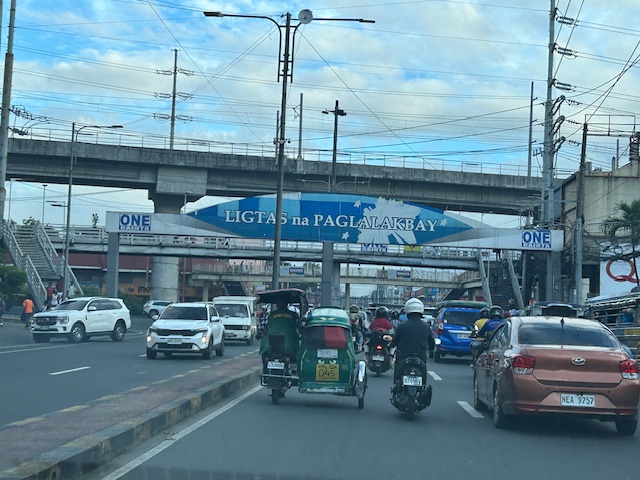
 Intersection of Marcos Highway, Felix Avenue and Gil Fernando Avenue – there’s a major foot bridge installed here so people can cross at the intersection, which used to be a signalized junction before the MMDA opted for U-turns for Marcos Highway sections under its jurisdiction.
 Marcos Highway section fronting the Ayala Feliz Mall – the MMDA has played with the location of the U-turn slots in the vicinity of the Marcos Highway-Amang Rodriguez-J.P. Rizal intersection as they tried to determine the “optimum” locations of these slots.
Of course, there is also the case of Commonwealth Avenue. How many carmaggedons have occurred along that corridor? Isn’t it an everyday thing there? And there’s also Ortigas Avenue Extension and many other roads and streets where congestion seems to have been accepted as the norm. How do we make travel easier for most people? How do we improve commutes given the constraints and realities concerning behavior and choices?
–
