
Old Versus New Traffic Safety Paradigms
Here is a quick share of an article on road safety:
Source: Old Versus New Traffic Safety Paradigms
To quote from the article:
“This issue is, of course, complex. Vehicle travel reductions are not the only way to reduce crashes — traditional traffic safety strategies are also important, and the two approaches are often complementary. For example, many targeted traffic safety strategies such as graduated driver’s licenses, special driver’s tests for seniors and anti-impaired driving campaigns become more effective and politically acceptable if implemented with multimodal planning, TDM incentives and Smart Growth policies so youths, seniors and drinkers can find convenient alternatives to driving.”
–
On the collapse of a bridge in Isabela
A hot topic these days is the collapse of a span of a newly built bridge in Isabela. The alleged causes of the collapse included truck overloading, design flaws and inferior construction. Initial news reports and statements put the blame on the trucker and the designer with only a few suspicions thrown at the contractor. And then the current President of the country together with his DPWH Secretary inspected the site together. BBM was later quoted as saying the cause was a design flaw.
The bridge’s designer came out to state that it is not his fault. That could have been perceived as a self-serving statement until you delve into his explanation and check his credentials. The designer happens to be one if not the most experienced bridge engineer in the country. He obtained his Bachelor’s and Master’s degrees in reputable institutions (UP and Virginia Tech in the US, respectively). He taught bridge engineering in universities and is perhaps instrumental in civil engineers choosing to specialize in bridges. And he was a past president of the Association of Structural Engineers in the Philippines (ASEP). He knew what he was doing and the process requires for his design to be reviewed and approved by the DPWH prior to having the bridge constructed. If it passed the DPWH review and approval process, then it should be determined if the contractor was faithful to the execution of the design. Photos spreading over social media shows problems where the structure failed. And the quick assessment of many who are knowledgeable about structural engineering and construction is that apparently, the failure is due to the construction.
What happened? Wasn’t construction progress monitored? Were there inspections to determined whether the design was followed? One result of the suspicions being thrown at the people responsible for the bridge is the proliferation of ‘corruption’ as the root cause of the collapse. There are already clever memes of the bridge employing ‘steal design’ and ‘steal reinforcement’ obviously replacing ‘steel’ in the terms. While we inject humor into the situation, we cannot deny how serious the matter is and the implications of design specifications as well as the emergence of new truck types with higher payloads is to pavement engineering in general and bridge engineering in particular.
–
Amusing vehicle accessories or features – are these legal?
I was amused by some memes and reels I saw on social media about cars getting these accessories that made them look like characters in the Disney series ‘Cars’. I finally saw the real thing as I was queued before Cainta Junction and on a truck.
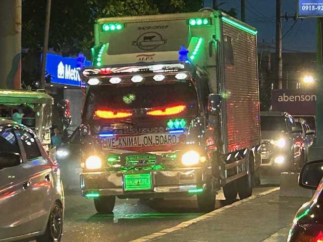 A truck with eyes might be staring at you in traffic
So are these legal? I haven’t found anything yet that says they are. Perhaps they can be distracting to some people but they are not blinding like the super bright headlights (and even tail lights) that people install on their cars. What do you think about these accessories?
–
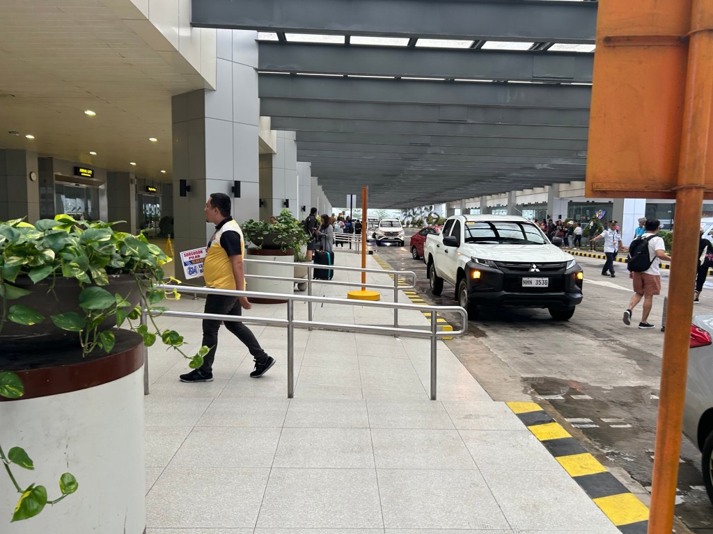
A suddenly spacious NAIA Terminal 3 outdoor parking area
The news of NAIA being taken over by San Miguel Corporation initially drew many criticisms. I won’t talk about these here but somewhat many things have changed aside from the airline assignments among the three remaining terminals. I said three because Terminal 4, what used to be the Manila Domestic Terminal, was already demolished. Among the changes are the suddenly spacious parking areas at the terminals. Here are some photos we took en route to the multi level parking prior to a trip.
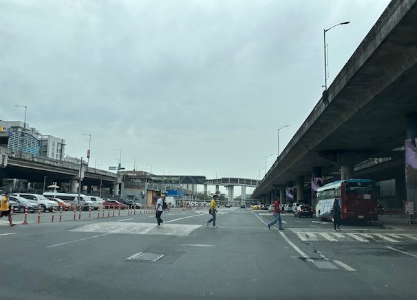 What used to be islands separating the Terminal 3 building from driveways and the open parking lot is no more.
 The area is suddenly very spacious allowing for more parking slots as well as a wide driveway for vehicles.
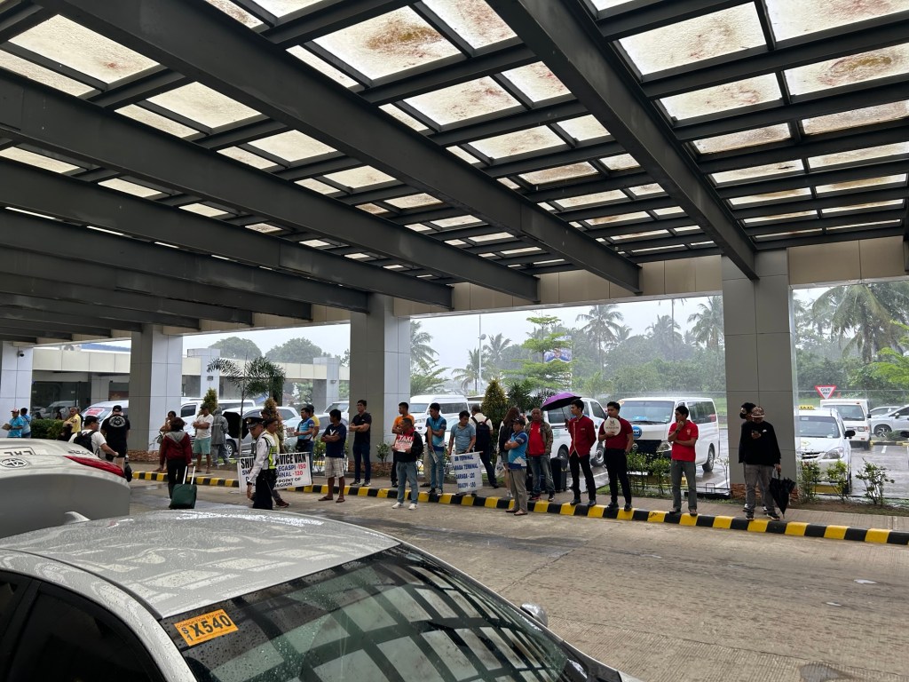
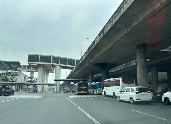 The buses also benefitted from the space as they can line up at the terminal stop without blocking other vehicles.
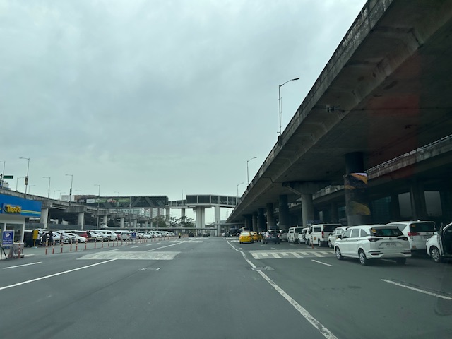
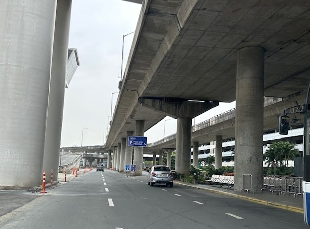 The section leading to the multi-level parking building is not as congested. Most intending to park there including those leaving there vehicles for a few days enter via the upper level driveway. Rideshare vehicles generally use the ground level entrance.
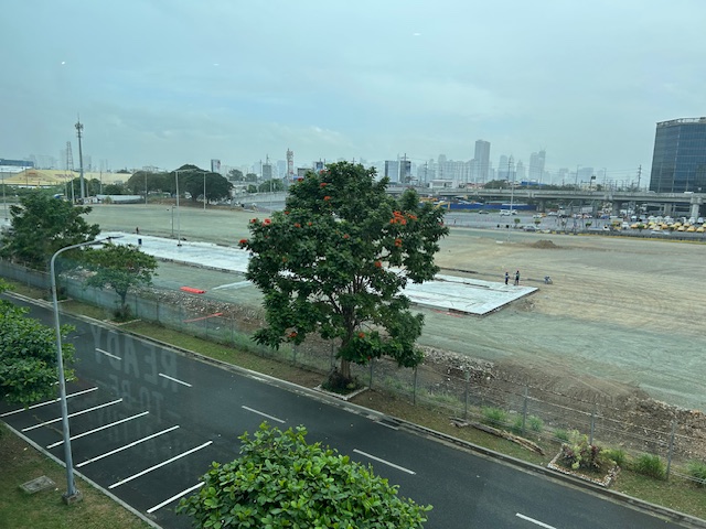 The graded open area that was just usually dirt or mud is now being paved. Perhaps this will provide additional parking spaces considering a significant part of the multi-level parking building has been committed to ride share and taxis.
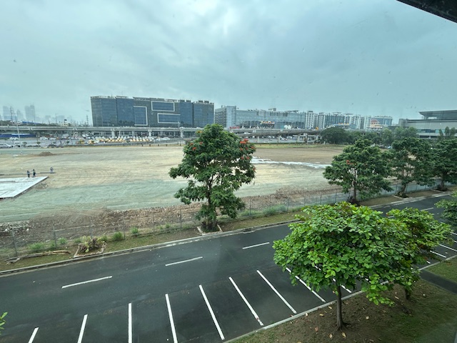 This used to be the area that was burned along with so many cars last year. Gone are the abandoned vehicles and perhaps these will all be paved. But was it necessary to just pave everything rather than have something porous and less heat generator than pavement? It would have been better to go for a multi-level facility and at the same time do some landscaping to have more trees and plants in this area.
–
On the pushback vs. bike lanes
I saw this short article at Planetizen that linked to another article that was the original one about cities dismantling or removing bike lanes. This is a very concerning trend in the US but something that’s also happening here. The Department of Public Works and Highways (DPWH) has always been lukewarm to bike lanes (parang napipilitan lang), the Metro Manila Development Authority (MMDA) seemed never to understand it (even during BF’s time as Chair), and many local government units that jumped on the bike lane bandwagon during the COVID-19 pandemic have reneged on their declared commitments. Currently, it seems that only cities like Quezon City and Iloilo City have sustained bike lanes development. Others have removed protected bike lanes or have not enforced vs. motor vehicles encroaching on the bike lanes.
Johnson, R. (February 18, 2025) “Cities Start to Backpedal on Bike Lanes: A Growing Crisis for Cyclists,” Momentum Mag, https://momentummag.com/cities-start-to-backpedal-on-bike-lanes-a-growing-crisis-for-cyclists/ [Last accessed: 3/2/2025]
To quote from the article:
“Bike lanes have become a culture war where those in favor are seen as “woke” or some other terrible conservative slur. But, most who use bike lanes are just regular people who want to save some money, and get the mental and health benefits to cycling to work.
Urban cyclists, bike commuters, and advocates for safer streets, have all noticed a troubling trend. What was once a symbol of progress toward sustainable transportation and safer roads for all is being reversed in multiple cities across North America.”
Will bike lanes and cyclists suffer similar setbacks here? Will the Department of Transportation (DOTr) continue to champion bike lanes? Will the agency be more aggressive and assertive of bike lanes development? Your guess is as good as mine!
–
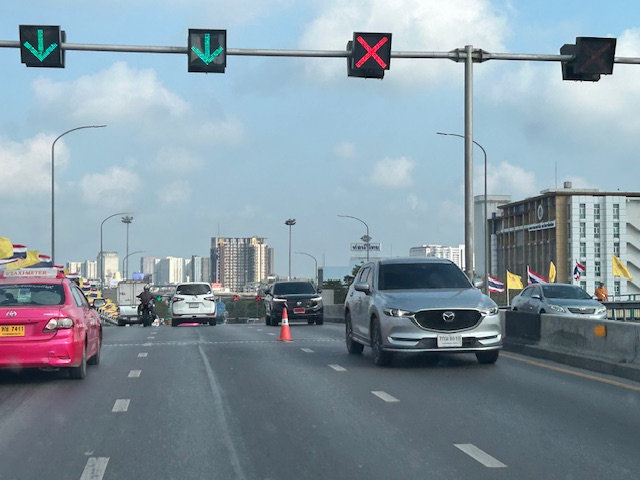
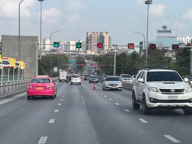
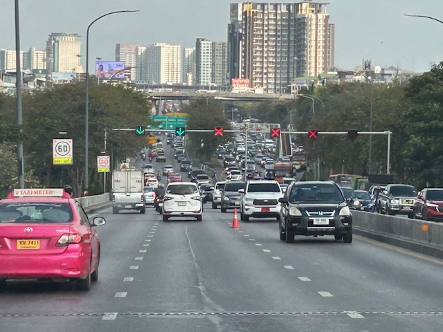
Counterflow lanes in Bangkok, Thailand
I almost forgot again about this set of photos showing the implementation of a counterflow scheme along a long stretch of road in Bangkok. Heading out of Bangkok, I was able to take photos of the counterflow lanes and variable traffic signs used for this purpose. We were northbound meaning we were traveling outbound of the metropolis and opposed to the peak direction (southbound was inbound to Bangkok).
 Approaching an overpass where variable traffic signs are installed overhead (i.e., on a gantry).
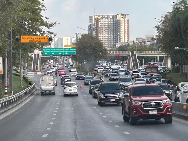
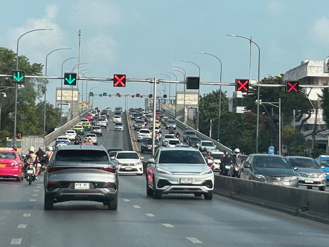 It is easy to see which lanes are assigned for our direction and which ones for the opposite flow.
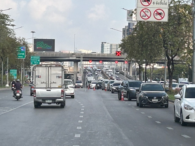
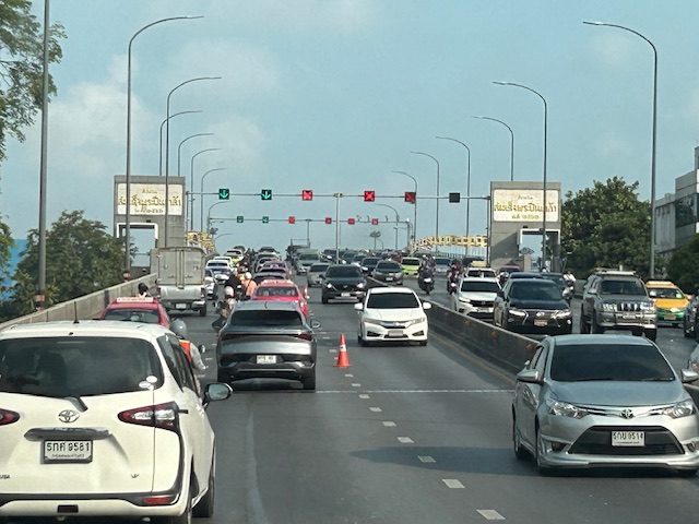 On the overpass, you can see that the variable signs are installed at regular intervals. There are a few cones that act as physical separators (not really barriers) between opposing flows.
 Sort of a close up of the variable signs and a cone. I assume the cones are placed there by traffic authorities. They might be transferred to the other side of the overpass if the counterflow was in favor of our direction.
 Another photo showing the installed variable signs towards the other end of the overpass.
 Four lanes are assigned to inbound traffic while only two are for outbound traffic.
 At the foot of the overpass is a pedestrian overpass. The stairs appear to be quite steep based on the photo. I’m not aware of criticisms of the pedestrian footbridges in Bangkok. I would have to ask my Thai friends about their designs.
 Another overpass where all lanes are assigned to the southbound direction
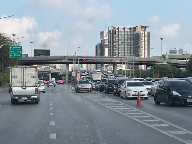 The parked vehicle on the chevron is with the traffic authority of Bangkok.
I actually started writing this in April last year. I will try to finish some drafts I started last year this month while also posting about my recent travel to Bicol.
–
“Coding exempt” vehicles and the demise of the coding scheme
I saw this car ahead of me during my commute. I knew this was an electric vehicle and these as well as hybrid ones were given an incentive in Metro Manila. They are “coding exempt” meaning these vehicles can be driven any day and ay hour during the weekdays.
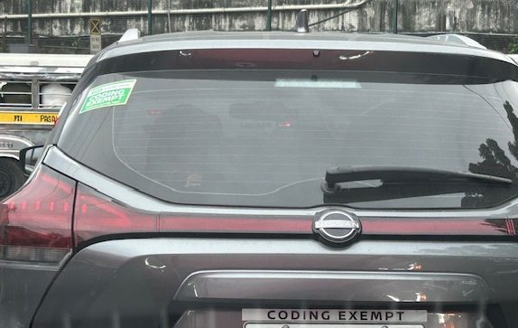 Are they selling these ‘coding exempt’ accessories or do these go free when you buy these cars?
People ask if the number coding scheme (UVVRP) in Metro Manila is still effective or relevant. Well, the answer is a ‘no’ and that is because over time, people have adjusted to it. Car owners have bought a second, even third vehicle that they call their ‘coding’ vehicle. Others opted to purchase motorcycles. And so that’s what we generally see along most roads in Metro Manila. It didn’t help that hybrid and electric vehicles are given exemption from the coding scheme. Those who can afford to buy yet another vehicle or perhaps replace their conventional ones are already buying these as evident from their increasing presence along our roads. While there is the perceived benefits with less emissions and air pollution, we still lose with congestion and its derivatives. Perhaps we should already have a congestion pricing scheme implemented for Metro Manila like the one in New York City. And proceeds should go to the improvement of public transportation to help arrest the erosion of its mode share in favor of private vehicles.
–
The old Legazpi City airport
En route to Camalig after checking out from our hotel, we passed by the old airport in Legazpi City. This was closed after the new airport in nearby Daraga became operational.
Legazpi and the Bicol region needed a new gateway after the old one could not be expanded. Add to that the fact that the runway configuration and location was compromised by nearby Mayon Volcano. The Bicol International Airport in Daraga is a modern gateway for a region deserving such infrastructure.
–
On a different kind of transport – electric suitcases
Here’s an interesting article for Sunday. I guess you’ve probably seen these at airports and even malls?
Unseen Japan (February 3, 2025) “Japan Warns Against Use of Electric Suitcases ,” Medium.com, https://unseenjapan.medium.com/japan-warns-chinese-travelers-against-use-of-electric-suitcases-d3eb946f2980 [Last accessed: 2/23/2025]
To quote from the article:
“Electric suitcases act as miniature people-movers, preventing people from having to walk from point A to point B in sprawling locations like airports. With a speed of 10 to 13kph, they’ve proven especially popular among tourists from China.
They’re also somewhat dangerous. On top of the danger of running into other passengers, people can lose their balance and take nasty spills.
The devices have proven a nuisance outside of airports, too. Last year, police in Osaka charged a woman for riding an electric suitcase on a sidewalk. Riding the device violates Japan’s motor vehicle laws, as it’s not legally classified as an e-scooter. It also violates the law around motorized vehicles on the sidewalk, which are only allowed for certain devices that restrict their top speed to 6kph.”
While these “act as people-movers”, I don’t think these could be regarded as transport under the category of micromobilities. If these are allowed to proliferate, then these will create new problems and come into conflict with active transport. What do you think?
–
Bicol International Airport – first impressions
The Bicol International AirPort project started during the time of then Pres. Gloria Macapagal-Arroyo. The old airport could no longer be expanded or upgraded and was too close and oriented to Mayon Volcano, causing frequent disruptions to flights. The development was similar to Iloilo’s, Bacolod’s and Tagbilaran’s airports that had to be relocated to accommodate airport expansion including future phases of development. The airport was started construction during the time of Pres. PNoy and was completed in the term of Pres. Duterte.
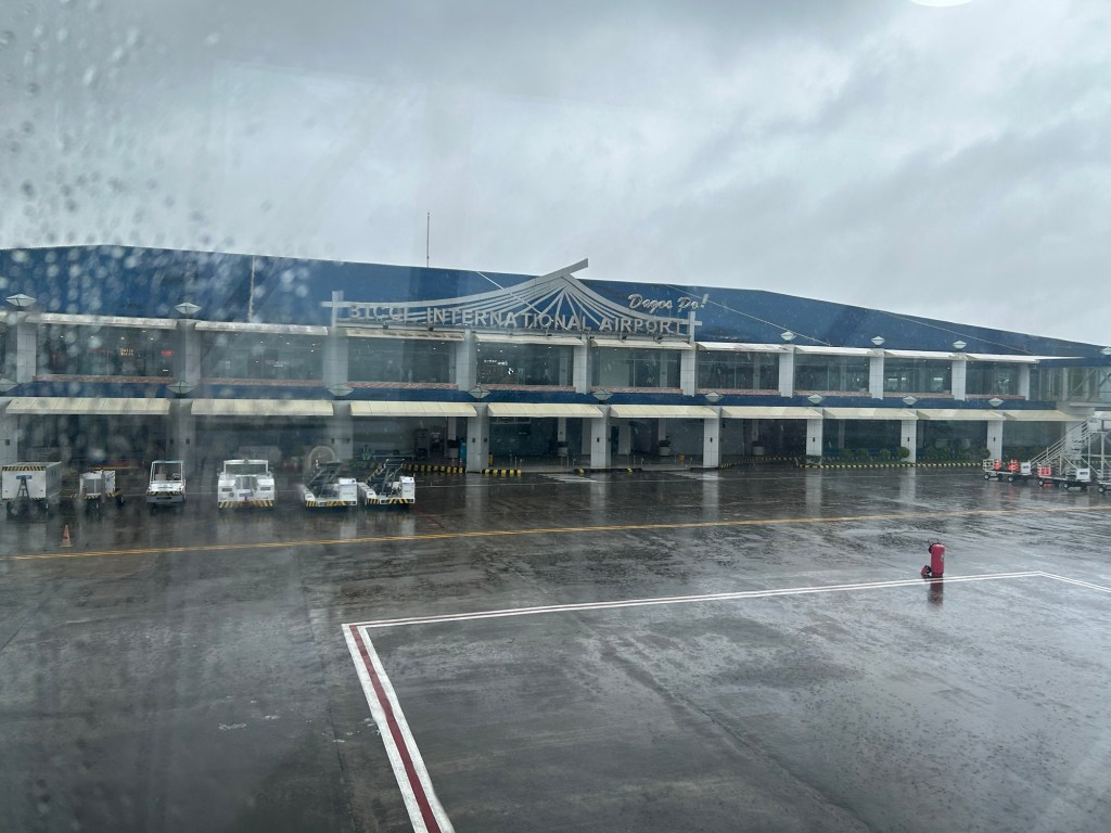
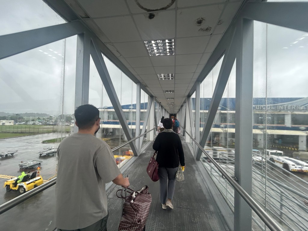
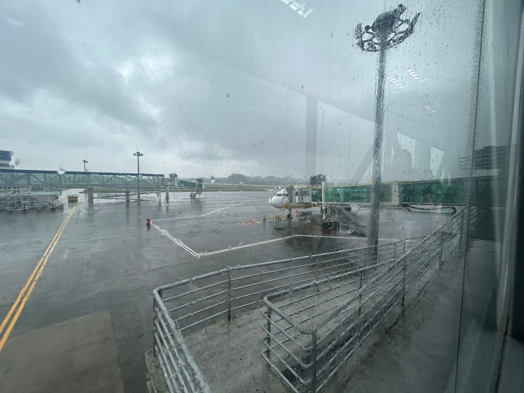
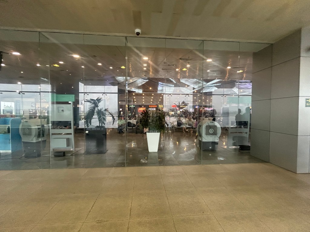
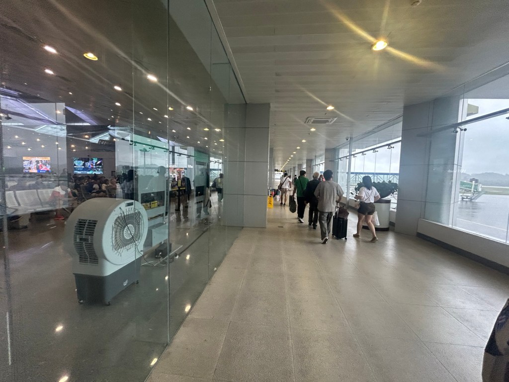
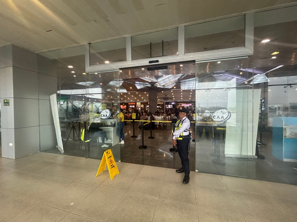
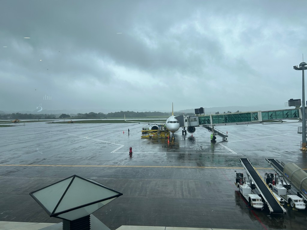
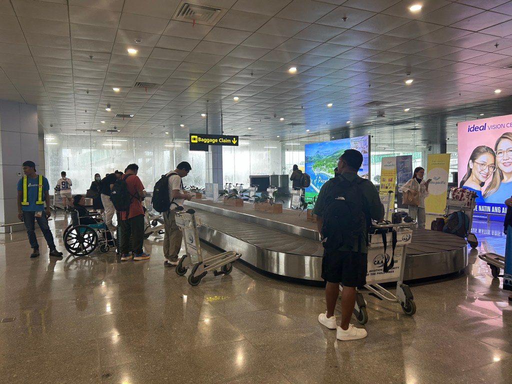
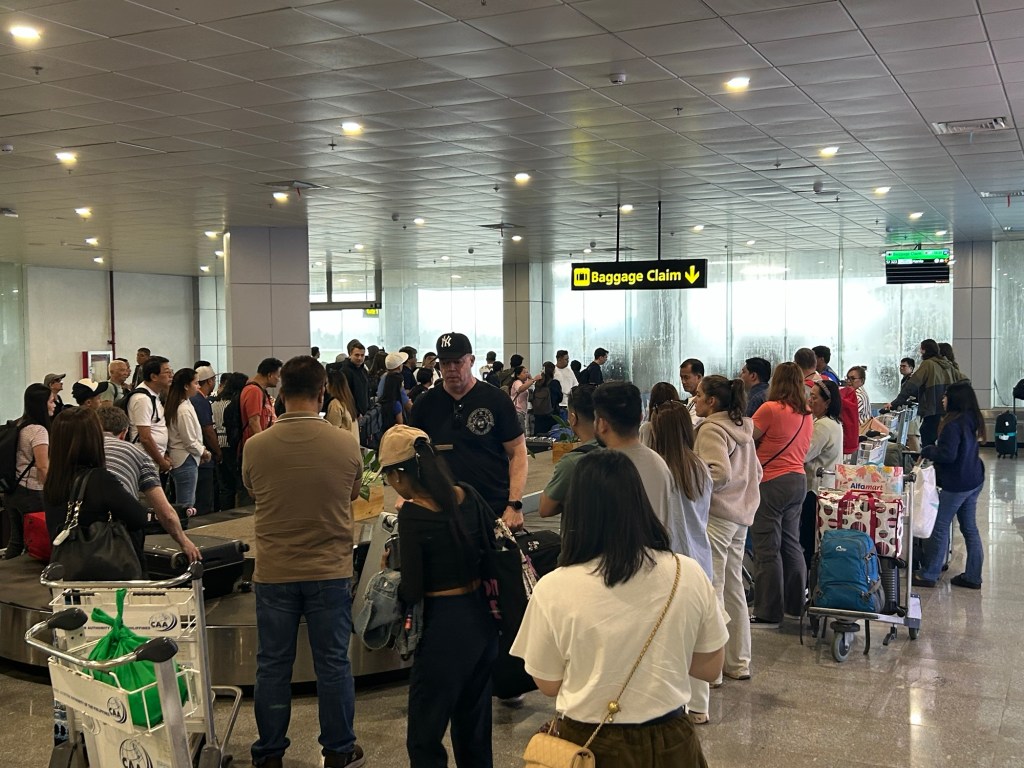
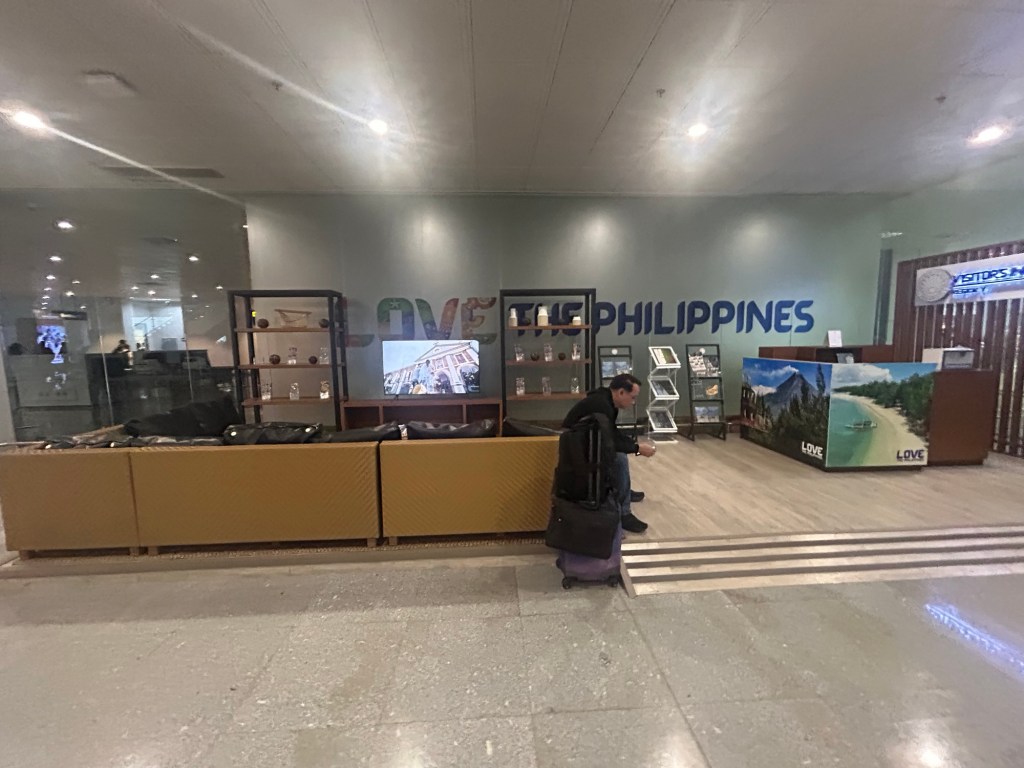
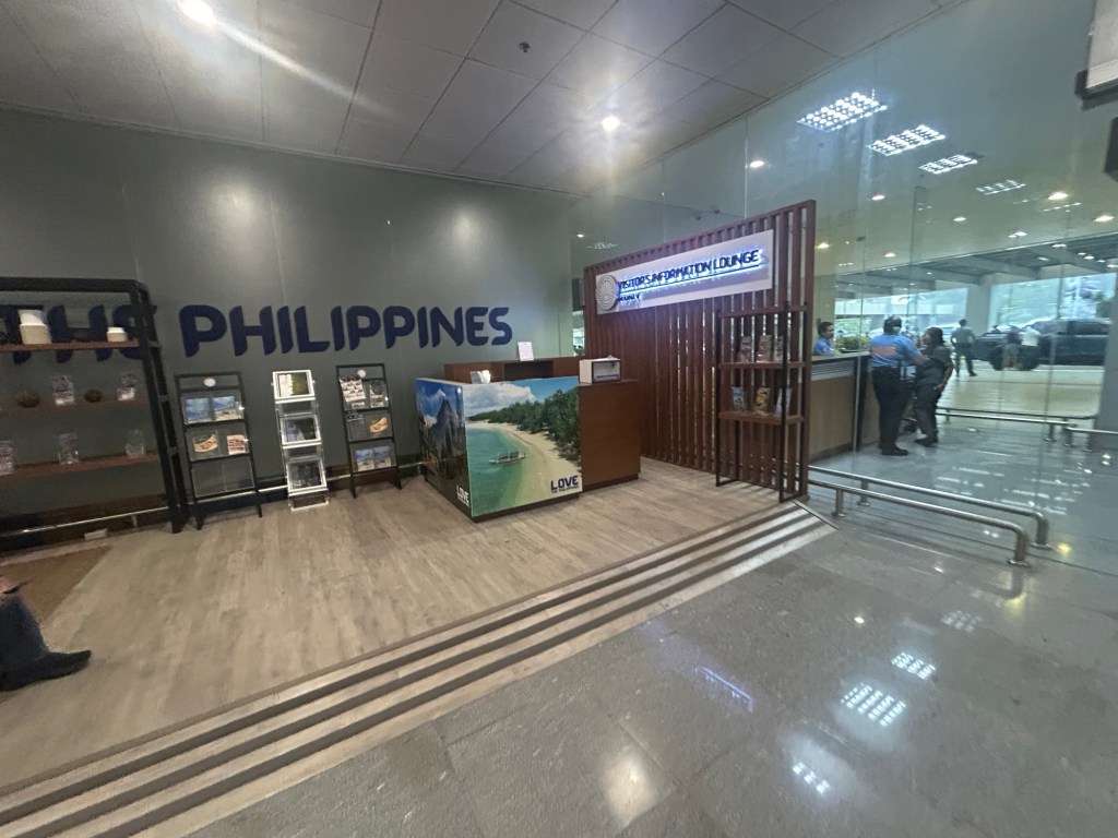
The airport is spacious and orderly. I’m not sure how the situation is when flights are more frequent and when there are international flights but perhaps the terminal can handle these at least over the foreseeable future.
More on the airport soon!
–
