
Counterflow lanes in Bangkok, Thailand
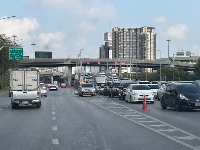
I almost forgot again about this set of photos showing the implementation of a counterflow scheme along a long stretch of road in Bangkok. Heading out of Bangkok, I was able to take photos of the counterflow lanes and variable traffic signs used for this purpose. We were northbound meaning we were traveling outbound of the metropolis and opposed to the peak direction (southbound was inbound to Bangkok).
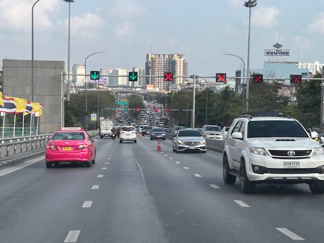
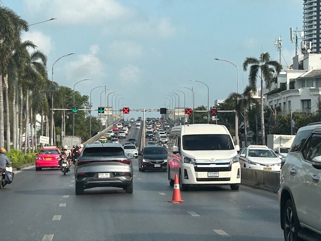 Approaching an overpass where variable traffic signs are installed overhead (i.e., on a gantry).
 It is easy to see which lanes are assigned for our direction and which ones for the opposite flow.
 On the overpass, you can see that the variable signs are installed at regular intervals. There are a few cones that act as physical separators (not really barriers) between opposing flows.
 Sort of a close up of the variable signs and a cone. I assume the cones are placed there by traffic authorities. They might be transferred to the other side of the overpass if the counterflow was in favor of our direction.
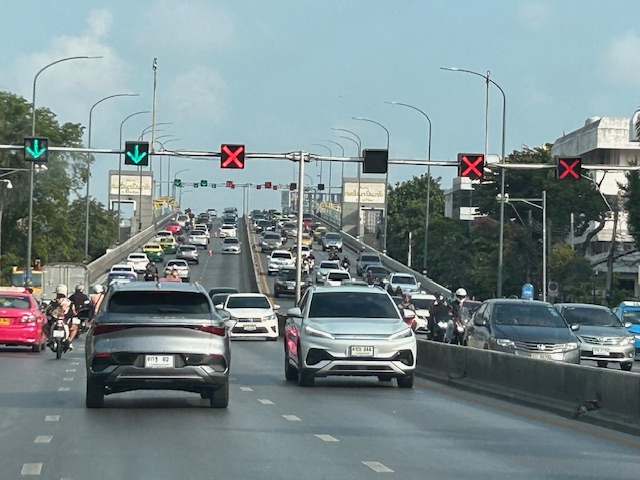
 Another photo showing the installed variable signs towards the other end of the overpass.
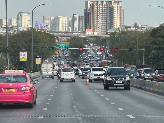 Four lanes are assigned to inbound traffic while only two are for outbound traffic.
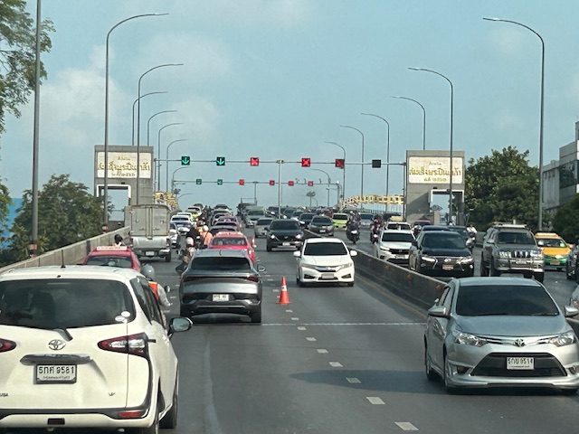
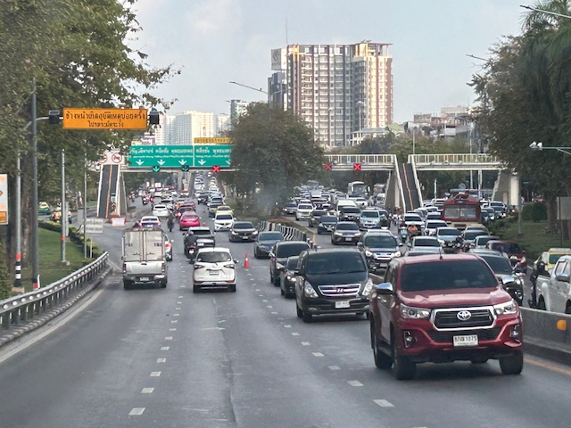 At the foot of the overpass is a pedestrian overpass. The stairs appear to be quite steep based on the photo. I’m not aware of criticisms of the pedestrian footbridges in Bangkok. I would have to ask my Thai friends about their designs.
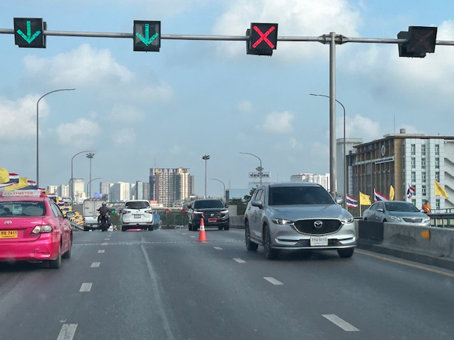
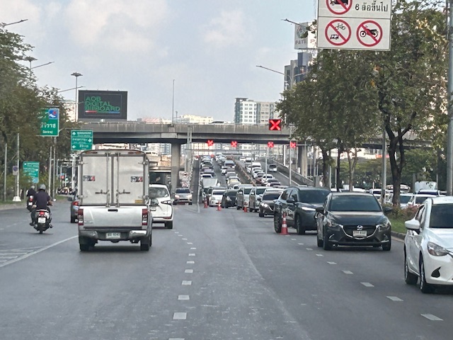 Another overpass where all lanes are assigned to the southbound direction
 The parked vehicle on the chevron is with the traffic authority of Bangkok.
I actually started writing this in April last year. I will try to finish some drafts I started last year this month while also posting about my recent travel to Bicol.
–
“Coding exempt” vehicles and the demise of the coding scheme
I saw this car ahead of me during my commute. I knew this was an electric vehicle and these as well as hybrid ones were given an incentive in Metro Manila. They are “coding exempt” meaning these vehicles can be driven any day and ay hour during the weekdays.
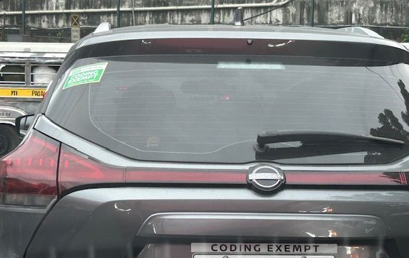 Are they selling these ‘coding exempt’ accessories or do these go free when you buy these cars?
People ask if the number coding scheme (UVVRP) in Metro Manila is still effective or relevant. Well, the answer is a ‘no’ and that is because over time, people have adjusted to it. Car owners have bought a second, even third vehicle that they call their ‘coding’ vehicle. Others opted to purchase motorcycles. And so that’s what we generally see along most roads in Metro Manila. It didn’t help that hybrid and electric vehicles are given exemption from the coding scheme. Those who can afford to buy yet another vehicle or perhaps replace their conventional ones are already buying these as evident from their increasing presence along our roads. While there is the perceived benefits with less emissions and air pollution, we still lose with congestion and its derivatives. Perhaps we should already have a congestion pricing scheme implemented for Metro Manila like the one in New York City. And proceeds should go to the improvement of public transportation to help arrest the erosion of its mode share in favor of private vehicles.
–
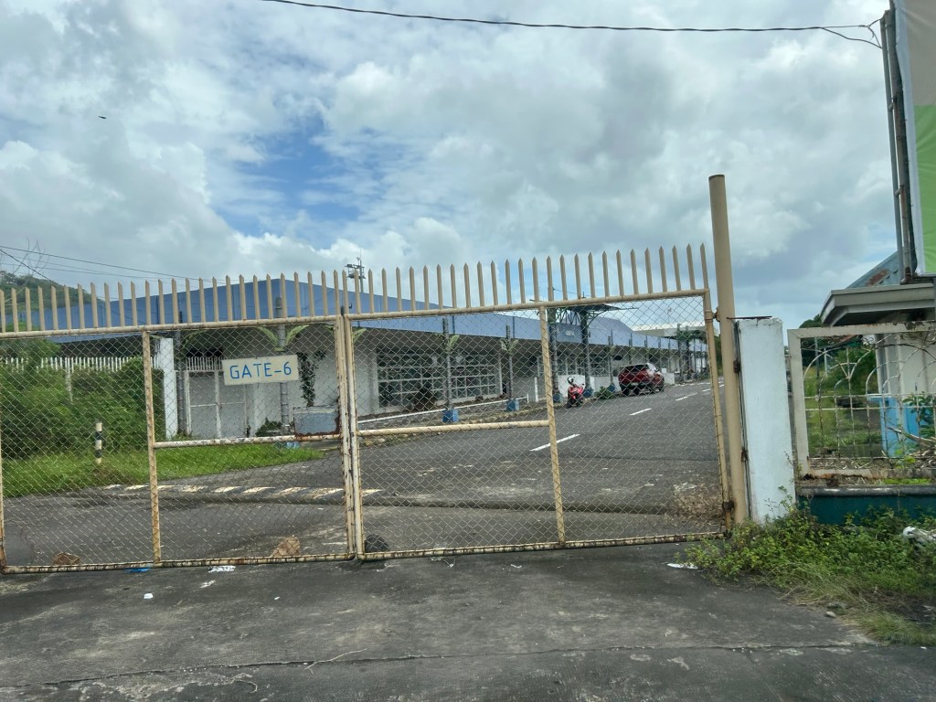
The old Legazpi City airport
En route to Camalig after checking out from our hotel, we passed by the old airport in Legazpi City. This was closed after the new airport in nearby Daraga became operational.
Legazpi and the Bicol region needed a new gateway after the old one could not be expanded. Add to that the fact that the runway configuration and location was compromised by nearby Mayon Volcano. The Bicol International Airport in Daraga is a modern gateway for a region deserving such infrastructure.
–
On a different kind of transport – electric suitcases
Here’s an interesting article for Sunday. I guess you’ve probably seen these at airports and even malls?
Unseen Japan (February 3, 2025) “Japan Warns Against Use of Electric Suitcases ,” Medium.com, https://unseenjapan.medium.com/japan-warns-chinese-travelers-against-use-of-electric-suitcases-d3eb946f2980 [Last accessed: 2/23/2025]
To quote from the article:
“Electric suitcases act as miniature people-movers, preventing people from having to walk from point A to point B in sprawling locations like airports. With a speed of 10 to 13kph, they’ve proven especially popular among tourists from China.
They’re also somewhat dangerous. On top of the danger of running into other passengers, people can lose their balance and take nasty spills.
The devices have proven a nuisance outside of airports, too. Last year, police in Osaka charged a woman for riding an electric suitcase on a sidewalk. Riding the device violates Japan’s motor vehicle laws, as it’s not legally classified as an e-scooter. It also violates the law around motorized vehicles on the sidewalk, which are only allowed for certain devices that restrict their top speed to 6kph.”
While these “act as people-movers”, I don’t think these could be regarded as transport under the category of micromobilities. If these are allowed to proliferate, then these will create new problems and come into conflict with active transport. What do you think?
–
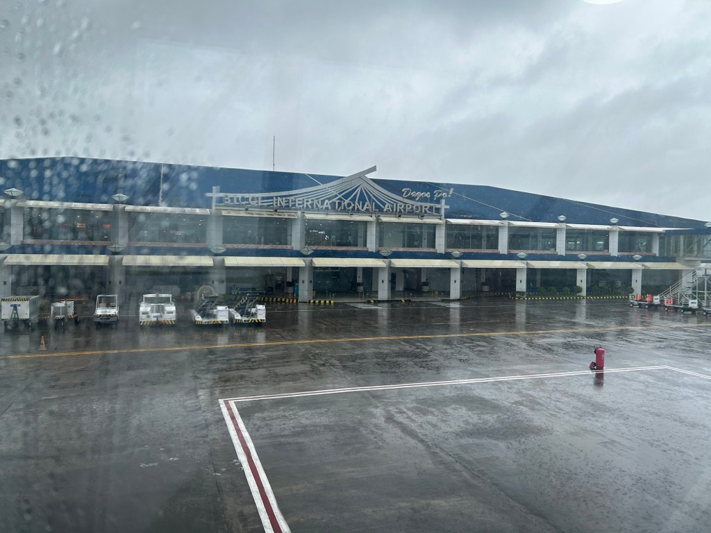
Bicol International Airport – first impressions
The Bicol International AirPort project started during the time of then Pres. Gloria Macapagal-Arroyo. The old airport could no longer be expanded or upgraded and was too close and oriented to Mayon Volcano, causing frequent disruptions to flights. The development was similar to Iloilo’s, Bacolod’s and Tagbilaran’s airports that had to be relocated to accommodate airport expansion including future phases of development. The airport was started construction during the time of Pres. PNoy and was completed in the term of Pres. Duterte.

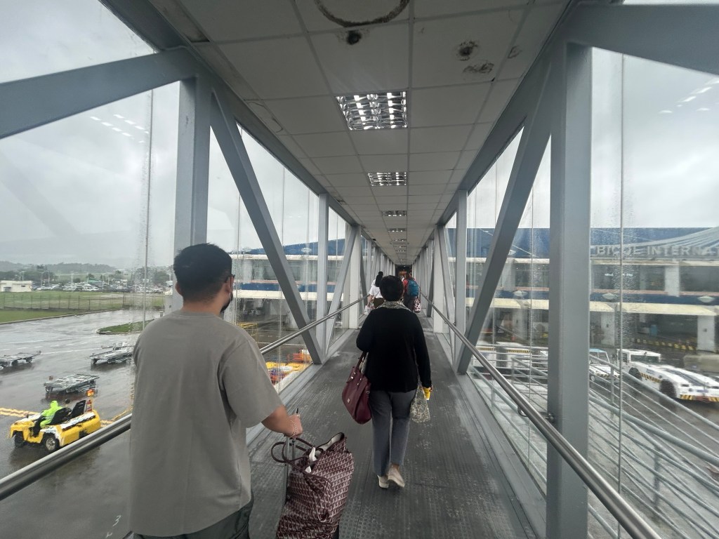
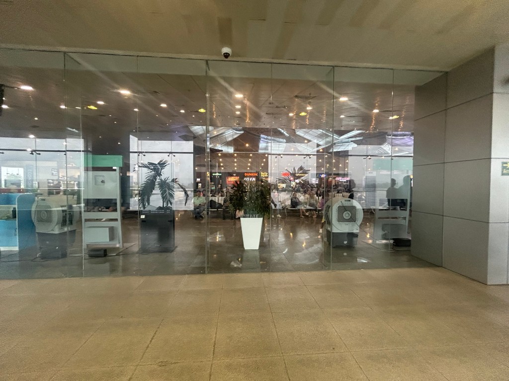
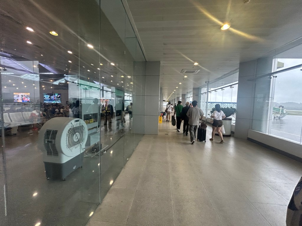
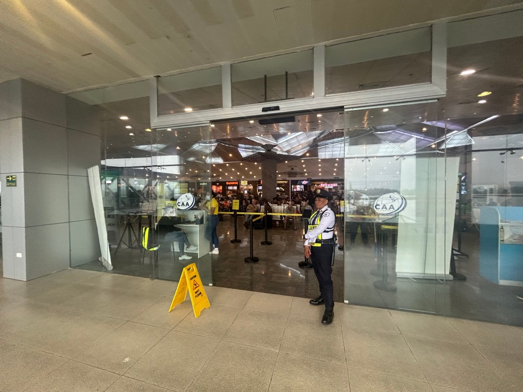
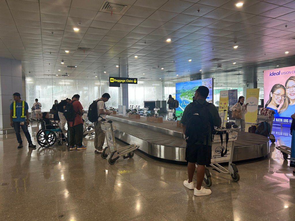
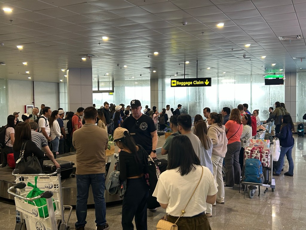
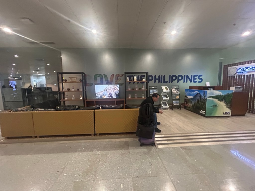
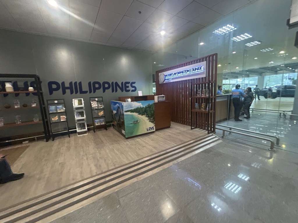
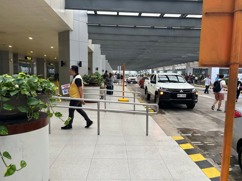
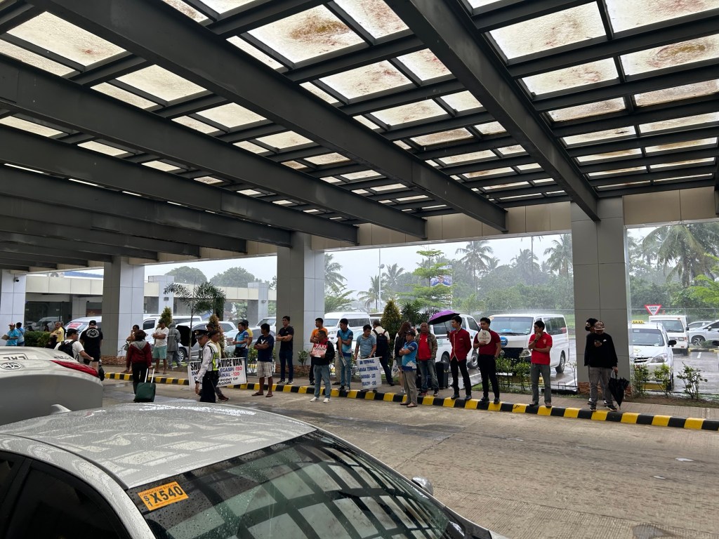
The airport is spacious and orderly. I’m not sure how the situation is when flights are more frequent and when there are international flights but perhaps the terminal can handle these at least over the foreseeable future.
More on the airport soon!
–
On C-6 and the proposal for another expressway, Part 2
The recent announcement and launch of the Southeast Metro Manila Expressway (SEMME) included this map showing the (very) rough alignment for the proposed tollway. The map also shows the proposed locations of interchanges including one in Tikling and another in Masinag. There is also another in Tumana. From the looks of this, the SEMME will be a skyway or elevated expressway/tollway.
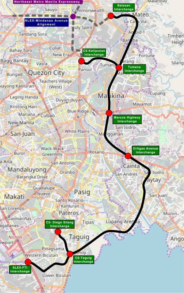
My first impression is that this elevated tollway will pass through predominantly residential areas with columns rising from private subdivisions. It doesn’t help that the topography also means the columns will be built along hilly or mountainous terrain, thereby making construction more challenging than the elevated tollways in Metro Manila.
Do we really need another circumferential road and particularly another tollway? I think that is a very important question that not only needs to be asked but also answered the right way. I, for my part, don’t believe we need another tollway, elevated or not, as this will not solve the so-called traffic problem. In fact, it creates more problems than what is supposed to be solved with the induced traffic this will generate and its promotion of car-centricity. For the price and effort of such an infrastructure, you will get more bang for your buck with a mass transit line or lines. Road congestion can only be solved by constructing the public transport system we needed decades ago.
–
Back in Bicol
I have not been to Bicol since before the pandemic in 2020. But that was in Naga City in Camarines Sur to which I have been a few times. I have not been beyond Naga City since my early high school days. That was my last travel to my mother’s hometown in Gubat, Sorsogon. I think that was when we traveled on the occasion of my maternal grandfather’s passing.
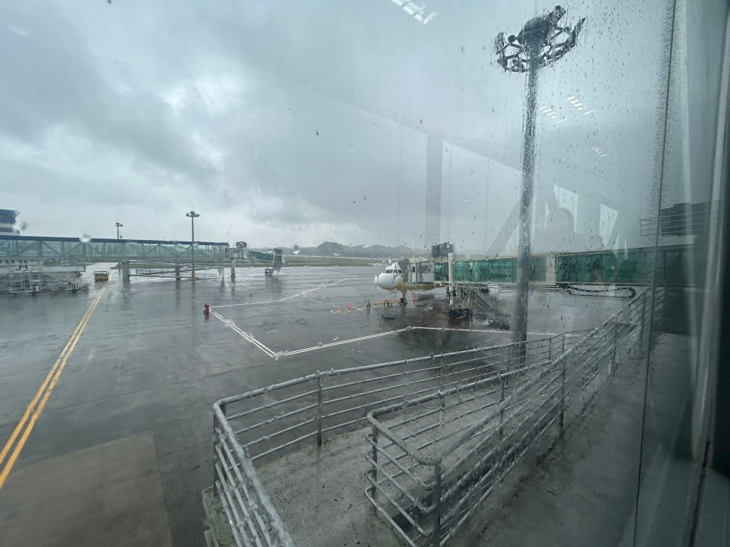
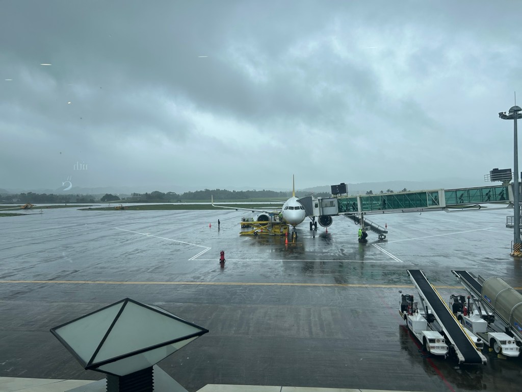
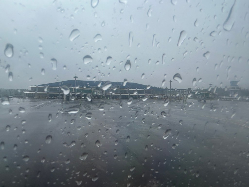
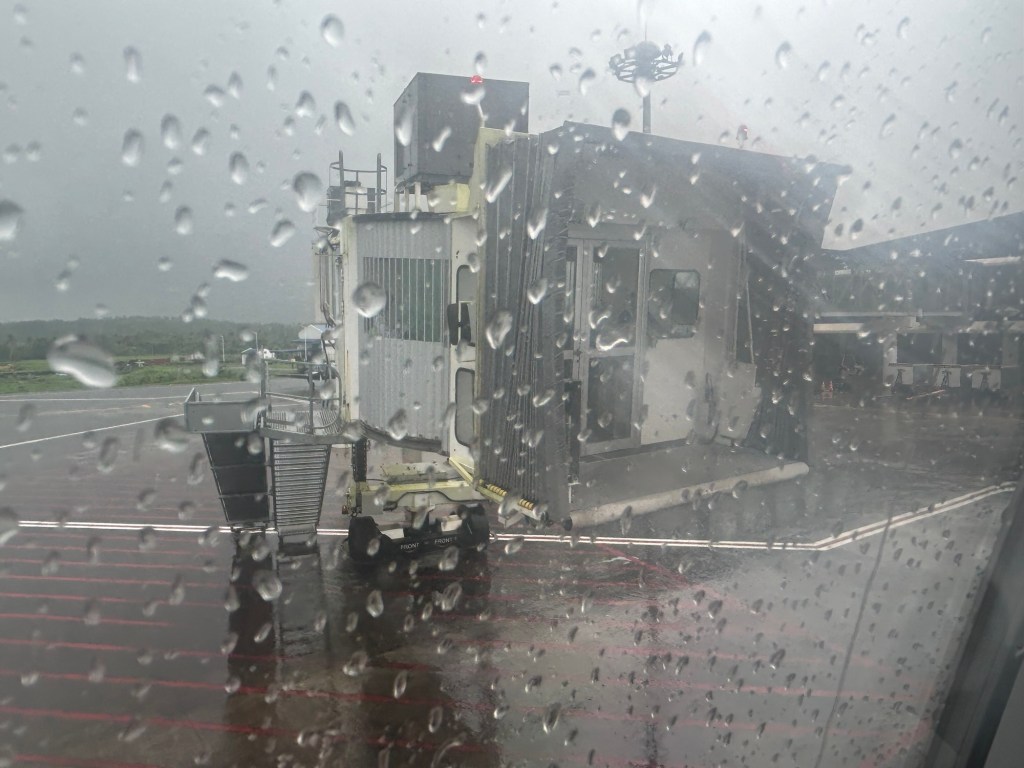
We arrived at Legazpi City yesterday via the Bicol International Airport in nearby Daraga. I was looking forward to this trip as I also wanted to see the new airport and, of course, Mayon Volcano. Unfortunately, the weather is bad and so I currently have not seen the volcano even during the plane’s approach to the airport.
More on Bicol and Legazpi in future posts.
On C-6 and the proposal for another expressway, Part 1
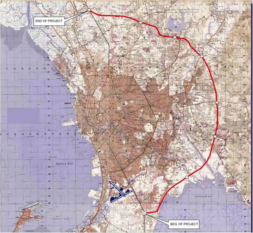
I’ve written about Circumferential Road 6 many times in the blog. Mostly, these were about the existing sections along the Laguna de Bai in Taguig and Pasig cities of Metro Manila and Taytay in Rizal Province. I share below two maps showing different alignments of C-6. The first one is a rather old one from the 1990s that I recall was from a presentation of a friend at DPWH.
 An old map I got from the DPWH a long time ago that I have used in my lectures.
The second map is supposed to be more recent, perhaps in the last 5 to 10 years if not more recent. This shows a more realistic alignment composed of what looks like existing road sections that were connected to form a semblance of a circumferential alignment.
 Here is a more recent map that’s also attributed to the DPWH.
In the first map, you will notice that the proposed alignment is more circular and smoother. This means that the road would have had a mostly new alignment instead of utilizing existing roads like Circumferential Road 5 before it. The newer sections for the latter were the ones connecting the existing roads. For the second map, noticeable is the somewhat forced connections of what looks like existing roads on the map. And while for Map 1 the alignment will be passing under the La Mesa reservoir, the alignment for Map 2 will circle the watershed like a coastal road. The alternative alignments presented an interesting exercise for students of highway engineering particularly for the topic of alignment design. Do you pick an entirely new alignment, sketch it out and determine the crossings and other constraints or do you try to make do of what roads are existing and perhaps improve (i.e., widen) these to produce an arterial?
The proposed alignment for what is now called the Southeast Metro Manila Expressway (SEMME) seems closer to the alignment in Map 1 than the one in Map 2. I will write about the proposed expressway that was recently launched in the next post.
–
To B(RT) or not to B(RT)?
I kind of expected questions or comments from my ‘students’ after my lecture last Wednesday about “Traffic Congestion.” Among my slides were those featuring solutions to transport and traffic problems. I presented both soft and hard approaches including travel demand management schemes and infrastructure that we should have built decades ago. The uniformed officers who were there had a very simple take on congestion – it’s basically because of a lack of discipline. While theirs may also be valid observations based on their experiences, ‘discipline’ is not the most critical problem that we have especially considering the ever increasing demand for travel. One government official present was very direct in his question about what I thought about the MMDA’s pronouncement that they plan to remove the EDSA Bus Carousel. I thought my reply and the following explanation was clear – it was a wrong move.
The EDSA Bus Carousel is simple. Bus lang sa bus lane (Only buses along the bus lane). Pag may private or pa-VIP, bawal at huli dapat (If there are private vehicles or those who regard themselves as VIPs using the lane, then they should be apprehended. An HOV (high occupancy vehicle) lane is more difficult to implement. Mas pahirapan ang pag monitor and enforce (It is very difficult to monitor and enforce). So this proposal to phase out the EDSA bus lanes don’t make sense from this perspective. In fact, I don’t agree with a couple of more senior transport experts who say that the MRT Line 3 is sufficient and that it hadn’t reached capacity yet. It has but in the time that the carousel has been operational, the carousel had absorbed much of the demand along the corridor. There is also the fact that it will take much time before Line 3 is upgraded. Are the new train sets here? Are the stations designed for these trains and more passengers? If the answers are no, then MRT3 will not have its capacity increased in such a short time. That also means the carousel is very much relevant not just to supplement MRT3 capacity but as a needed alternative mode for commuters.
–
On affordable housing
I’ve written about the relationship between transportation and housing in many of my previous posts. Here is an article defining affordable housing from the US context:
Axel-Lute, M. (January 23, 2025) “What is ‘affordable housing’?” Shelterforce, https://shelterforce.org/2025/01/23/what-is-affordable-housing/ [Last accessed: 2/4/2025]
To quote from the article:
“With no other qualifications, “affordable housing” in the United States typically refers to housing whose cost is affordable to households that make somewhere between 40 and 80 percent of the area median income.
Below 80 percent of AMI is how the U.S. Department of Housing and Urban Development officially defines “low income”—but be careful about making assumptions. Area median incomes are calculated at the metropolitan level, so for many areas they can be quite high. In those cases, “affordable housing” might be targeted to people who wouldn’t have considered themselves low income.
On the other hand, in some less affluent neighborhoods, official “affordable housing” might be too expensive for most of the people who already live there. And in metropolitan areas with lower housing costs overall, official “affordable housing” might not be much cheaper than market rate!”
How do we define affordable housing in the Philippines? Is our definition of “low income” similar to how they define it in the US or elsewhere? Or are our definitions flawed and therefore affect how we provide (or not) housing to those who need them the most?
–
