
R-10: Smokey Mountain
I have not been to the Smokey Mountain area in a long while. The last time I’ve been there was in the mid 1990s (around 1995) when the area was still largely undeveloped and literally smoking from the smoldering garbage and the fires caused by methane released by the decomposing waste in the open dump site that grew to mountainous proportions. At the time, there were some efforts to alleviate the living conditions of people who resided here, many of whom depended on scavenging for junk and the production of charcoal. While Quezon City had its own mountains of garbage in Payatas, Smokey Mountain at the time symbolized poverty and desperation in the Philippines and took informal settlement to an even higher level than what we usually see around factories and vacant lots mainly in cities around the country where people try their luck in the hopes of having better conditions in life.
The following photos were taken while we were returning to Quezon City from a meeting in Manila. Our driver offered the idea to take this route as against the usual one that passed through Quezon Blvd and the Quiapo area, believing that a route via R-10 and C-4 would be faster. It was indeed faster and afforded me photo ops of the road environment along the way. Admittedly, the photos are not of good quality (blurry) as it was a gloomy afternoon and there was a slight drizzle the entire time we drove from the Port Area to UP Diliman.
 R-10 northbound – having an animated conversation with my fellow passenger, I almost forgot where we were and the area we were passing en route to C-4. I suddenly recognized the area when I saw what looked like a small hill in the horizon. It was then that I realized that that was no hill. It was a mountain – Smokey Mountain.
 Walk-up – on our right were 4-storey apartment buildings that looked like they were at the point of bursting what with all the protruding wood, metal and cardboard from the buildings. The original building is colored beige and all other “enhancements” are actually attempts to expand units probably made by residents to accommodate more (extended) family members.
 Extensions and expansions – I don’t know if the modifications to the tenements are legal or done with the approval of local authorities. I am sure though that these are unsafe and would probably collapse if a significant magnitude earthquake hit Metro Manila. Such are the urgent problems of mass housing that need to be addressed and quickly. But then, beneficiaries of such housing should not abuse their units to the point that they become decrepit and safety hazards.
 On-street parking – along R-10 were parked vehicles of which many were trucks and tricycles. The residential areas are served mainly by 3-wheelers including tricycles and pedicabs (padyak). Most business along the roadside cater to truckers: vulcanizing shops, vehicle repair, eateries and sari-sari stores that are part of the informal (and underground) economy; a major aspect of transport in the Philippines.
 Wide carriageway – the sections of R-10 in the Smokey Mountain area had something like 5 lanes per direction. There were no pavement markings so this is just an estimate based on the likely lane widths to factor in the significant truck traffic passing through the area. My previous memory of the place was a 2 lane road without curbs or shoulders.
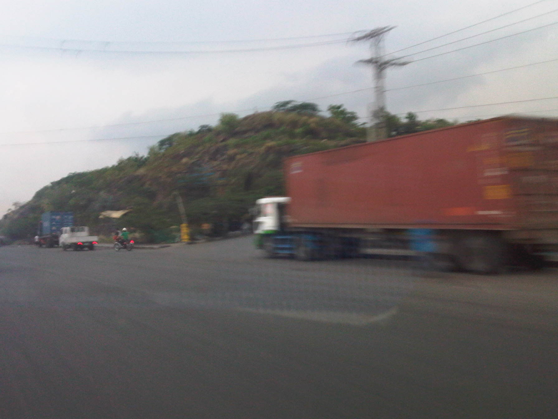 Foot of the mountain – this is what remains of Smokey Mountain after much of the garbage had been transferred, and the rest treated after dumping was ordered discontinued in the 1990s after outcries from environmentalists and various NGOs. The pavement conditions back in the 1990s were so bad that there were frequent congestion along the road and leachate from the garbage flowed along the roads. It was worse during the wet season as the rain and the usual winds sprayed a stinky mix unto vehicles passing the area. One had to wash or take his/her vehicle to the car wash as it will smell really bad. If you allow the vehicle to dry, its even worse because in addition to the smell, the car exterior would be sticky.
 Mountainside – there were garbage and other wastes, the homeless and informal settlers everywhere in the area. Mountains of waste were on either side of the road, and the smell will seep into a vehicle, never mind if one drove a new car as the stench was strong enough to overwhelm filters and air-conditioning given enough time.
The residential buildings in the preceding photos are not the first ones to be built in the area. In the early 1990’s a few walk-ups were constructed on the other side of the highway as a first effort to address the question of informal settlements around Smokey Mountain. I remember those to be the first ones to be abused by the residents/tenants themselves who seem to think it was their right rather than privilege to be granted housing and be beneficiaries of livelihood projects by both government and NGOs.
It is a good thing that the dump site was closed many years ago. Unfortunately, similar waste disposals are present elsewhere including parts of Payatas in Quezon City and San Mateo in Rizal. Open dump sites should not be an option for many LGUs without the proper guidance of experts from pertinent government agencies and the private sector. Proper and suitable waste management systems should be a priority for LGUs.
–
Future of road assessments in the Philippines
The field surveys conducted under the International Road Assessment Program (iRAP) in cooperation with the Department of Public Works and Highways (DPWH) employed a van fitted with cameras taking video of the road environment. The surveys were mobile and covered more than 2,000 kilometers of national roads in Luzon and Visayas. The video is then processed prior to evaluation by a team trained to rate road sections according to a criteria established by iRAP and applied in many other countries including Malaysia and Australia. I haven’t had the chance to explain the project to a close friend of ours with the Geodetic Engineering Department of the University of the Philippines Diliman when he explained to me his proposal for a mobile mapping system that we included in the Intelligent Transport System (ITS) program for consideration by the Department of Science and Technology (DOST) with their Engineering Research and Development for Technology (ERDT) program.
The GE Department recently acquired state of the art equipment for mobile mapping under another project. I presume this will eventually be used for the road environment and the equipment includes a 3D Laser scanner installed on top of a survey vehicle. The scanner will enable the construction of 3D images of the road environment with an accuracy that will allow for a more automated (and objective) assessments of road safety.
They also installed an inertial measurement unit (IMU) on the vehicle. This device will be able to measure horizontal and vertical movement of the vehicle, enabling it to measure displacement that can be used to determine road roughness. The latter may be used to determine the international roughness index (IRI), which is a measure of quality of road pavements.
 State of the art equipment being installed on an AUV
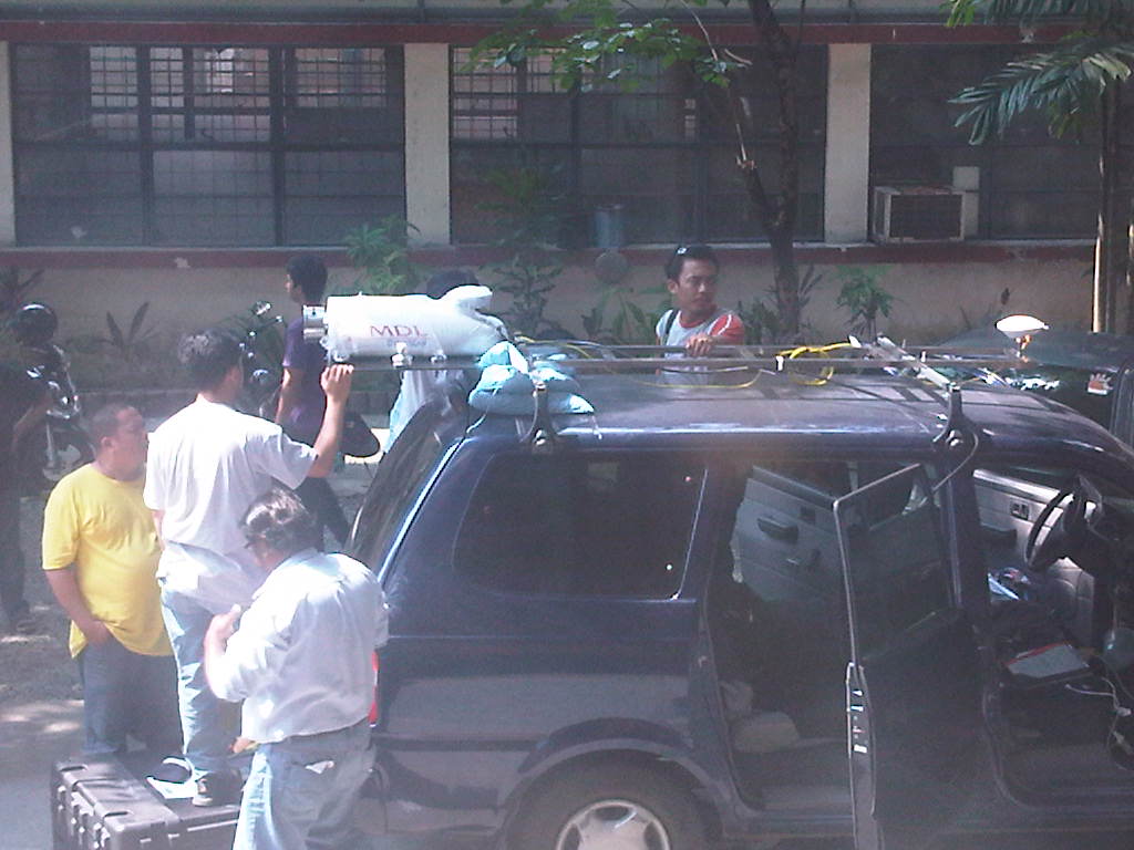 Close-up of installation work
 UP College of Engineering Staff posing after completing installation of the 3D scanner
The Road Safety Research Laboratory (RSRL) of the National Center for Transportation Studies (NCTS) look forward to working with the GE Department on applications of their hardware and software for evaluating road safety in the country. Hopefully, we can get support from the pertinent agencies for this endeavor.
–
Hong Kong International Airport
I’ve been to HKIA only twice and both have been in transit to another country rather than me visiting Hong Kong for business or its attractions. As such, I would say that the photos I was able to take do not do justice to the terminal, which is probably the caveat for this article.
Hong Kong would be in the Top 3 airports in Asia and perhaps in the world. In terms of efficiency, I would still say Singapore’s Changi would still be the best but HKIA will be a very close second. Incheon will probably come in as 3rd but not really that close to the first two.
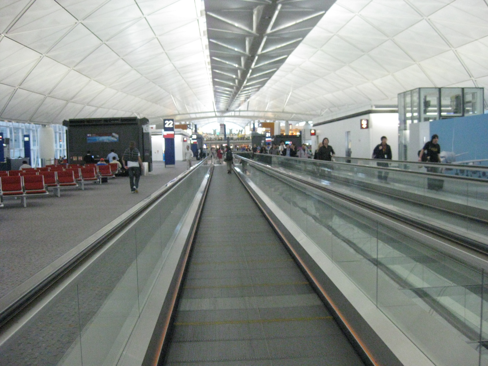 Moving walkways – these facilities are a necessity even for those who at first assume they don’t need to use them. The airport terminal is huge and it would take time for one to walk or run to catch a flight, especially a connecting one.
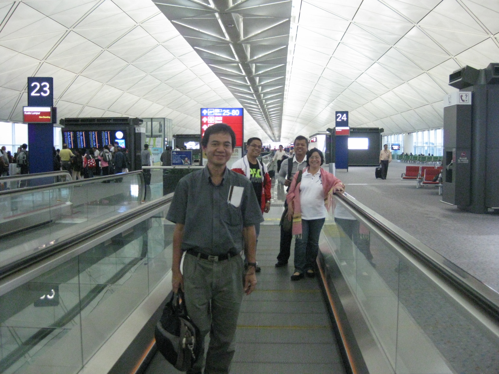 Information technology – the information systems at the airport are top of the line and allows travelers, like our group in the photo, to easily navigate the airport and know the status of our flight.
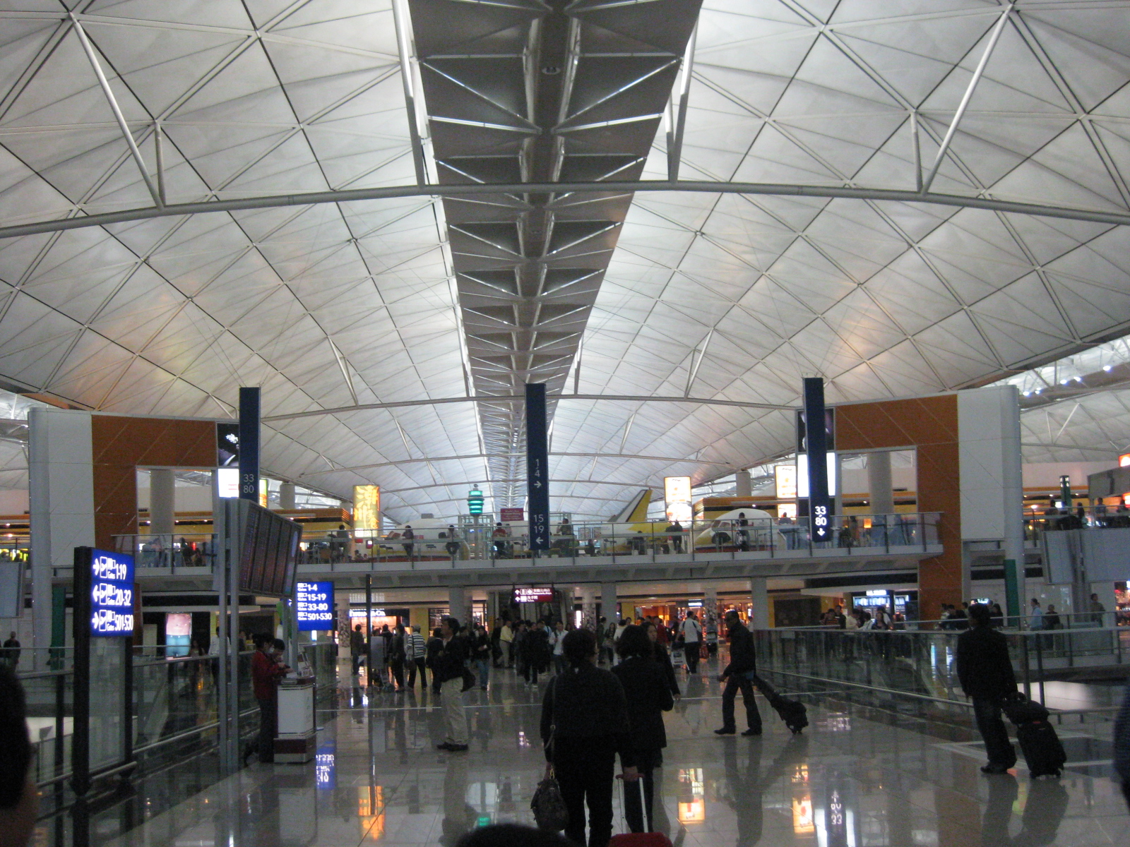 Shops and restaurants – HKIA is a microcosm of Hong Kong itself as one may go shopping or dining at the airport. We saw a lot of popular booths where travelers can grab quick meals or drinks while waiting to board their flights. The retail shops are a mix of the affordable to the more expensive goods including souvenirs even if you just happen to be in transit at HKIA. There’s even a large Disney Store at the airport.
 Cavernous – the architecture of the terminal gives travelers a sense of immensity with the very high ceiling and tremendous space for going around. This is just appropriate for a terminal handling millions of passengers.
 Hub – HKIA is the hub of the island’s major carrier, Cathay Pacific. CX, as the airline is designated, flies to so many destinations from HKIA making it a major player among international carriers. I think Cathay Pacific is easily among the top 3 or 5 airlines in the world where all in my list being Asian (e.g., Singapore Airlines, Thai Airways).
 View from afar – airport access may be via road or rail transport and one could see the Hong Kong cityscape from the airport. In the photo, the tall buildings before the mountains are probably high-rise apartments where many reside. HK is a very dense city, which necessitates such residential developments instead of the single-detached and even walk-up types to account for space limitations.
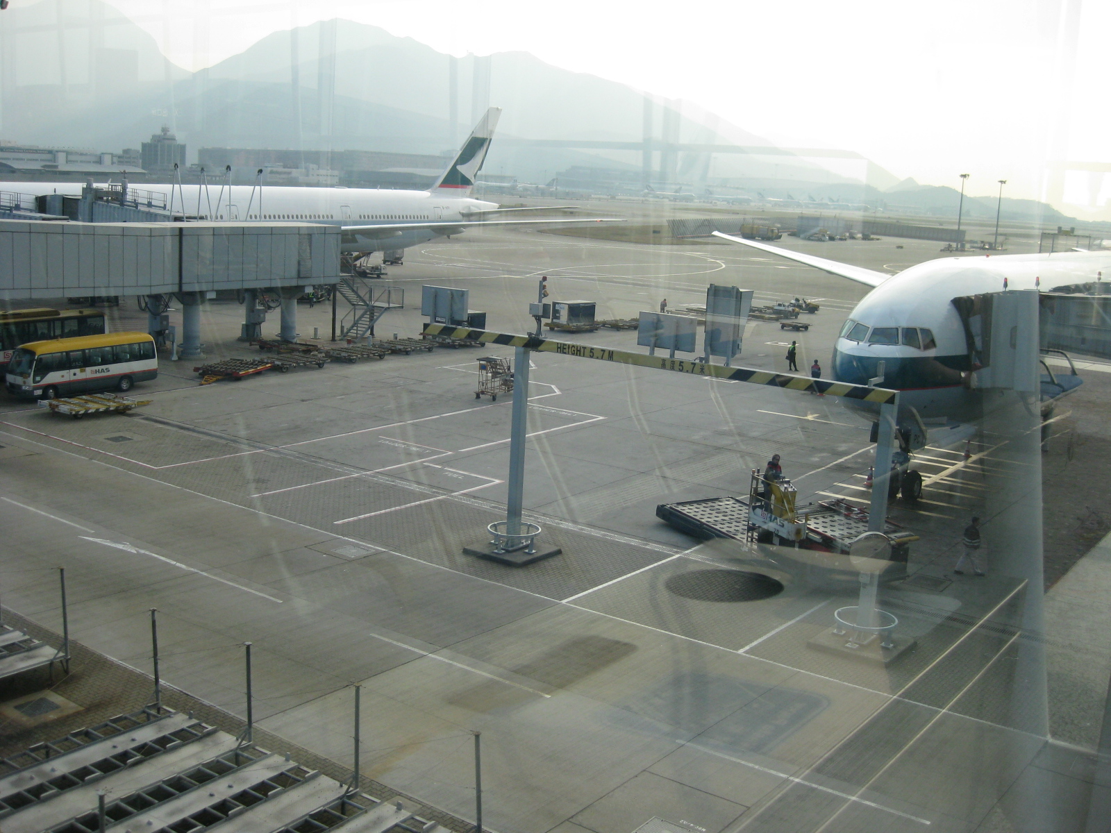 Ground handling – a view of the tarmac where a lot of activities happen. I remember a video going around in You Tube about the baggage of a Philippine carrier being mishandled by HKIA ground staff. I guess such things happen everywhere, even in what are already considered as top airports.
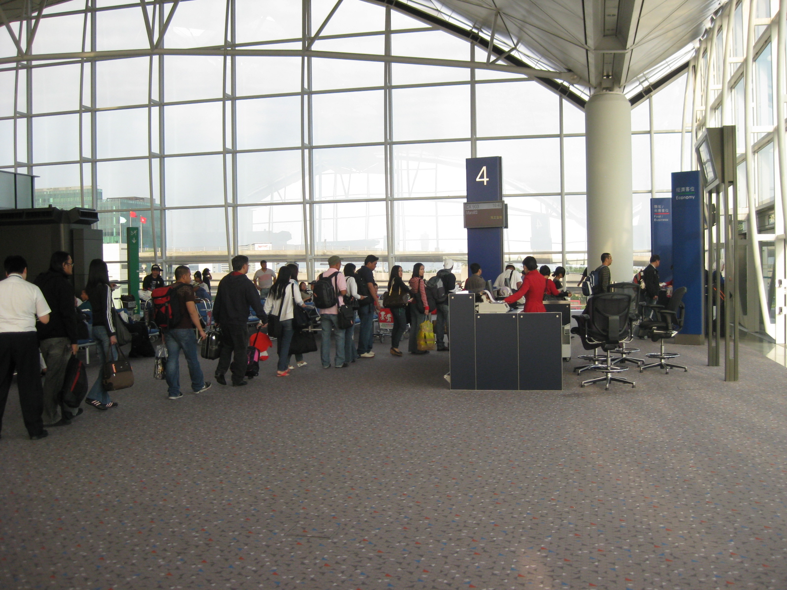 Boarding – passengers queued before Gate 4 at HKIA
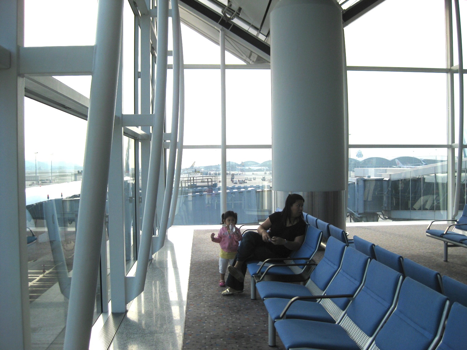 Best seats in the house – the layout of seats at the departure area allow people to have some personal space in a very public place. The windows afford a view of the surrounding area including airport operations for people interested in transport like our group just coming from an academic conference on transportation.
 Window seat – the large windows and high ceilings make every seat practically a window seat
 Not crowded at all – we were to board an Airbus A340 for our flight back to Manila. Minutes before the flight, most passengers seem to be anywhere but near the our boarding gate.
 Boarding time – I was able to take a photo of a friend taking a photo as well as two queues before a couple of boarding gates at the airport. The queues were generally orderly with airport staff checking the boarding passes of people in line to facilitate the boarding procedure.
 Line-up – this line here is actually for our flight. As there were no boarding sequence for those riding in coach, we decided to board later as the line was quite long.
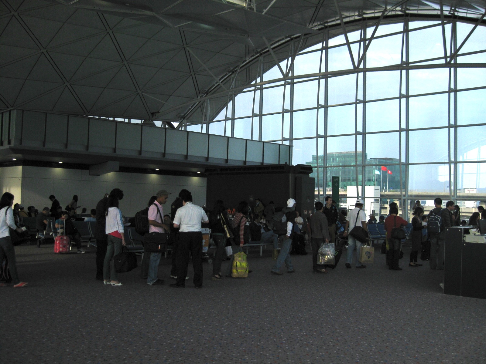 Another look at our fellow passengers lined up to board our aircraft.
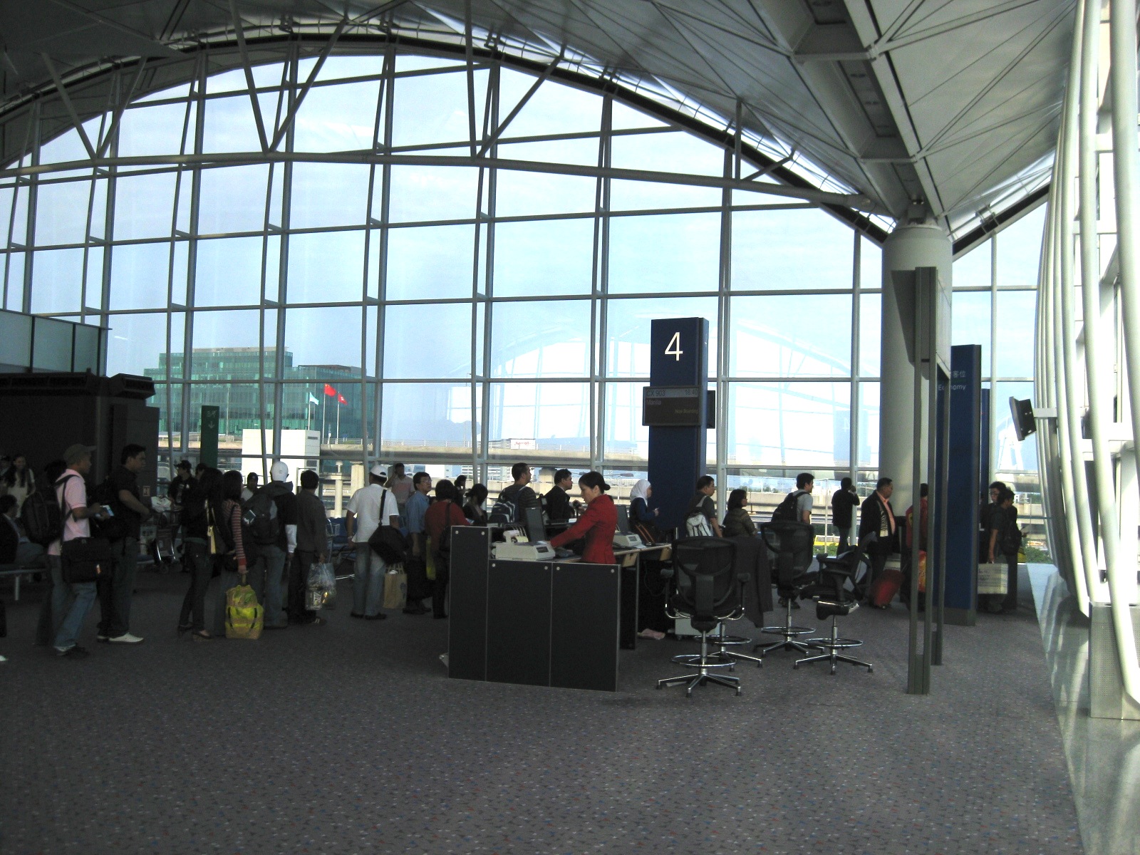 Boarding gate – we boarded our aircraft through the same gate where I took a photo of earlier
I’m not sure when I will be using the HKIA again but I’m sure I’ll be trying to take a lot more photos particularly the restaurants and shops in the terminal. Perhaps, too, I could be going around HK itself (I haven’t gone anywhere here except the airport terminal.). I am curious about the streets, the delicious food and, of course, the transportation system.
–
Port Area Roads 1: Bonifacio Drive to 2nd Street
Heading to a meeting at the DPWH’s National Capital Region office one afternoon, I made sure to take photos of the roads en route to their building located across the Sout Harbor’s container terminal and before the (and therefore near) the Baseco compound along 2nd Street.
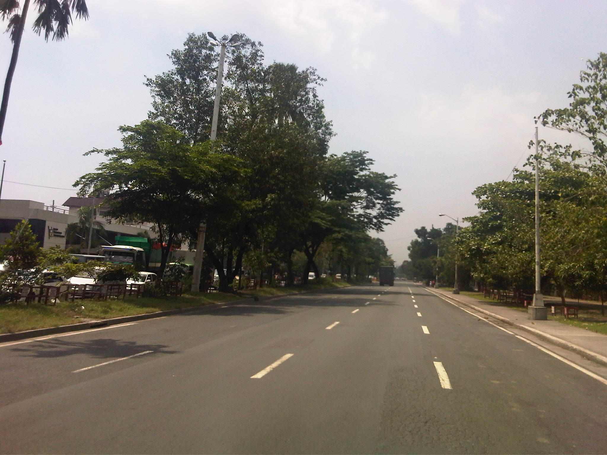 Bonifacio Drive – this section is part of Radial Road 1 (R-1) and has 4 lanes per direction. It stretches from R-1’s intersection with Burgos (in front of The Manila Hotel) where Roxas Boulevard (the road more associated with R-1) has its north end. Bonifacio Drive has a generous median and the northbound side is lined with trees on either side since Intramuros is on the right.
 DPWH Head Office – this is the approach to the median opening for the DPWH Head Office located along Bonifacio Drive. The Head Office houses the Offices of the Secretary, Undersecretaries and Assistant Secretaries of the department. It also houses the Planning Service and Bureau of Design. There used to be a railroad behind the DPWH building when the port area was connected to the railway system particularly to carry freight from the ships calling on the Port of Manila.
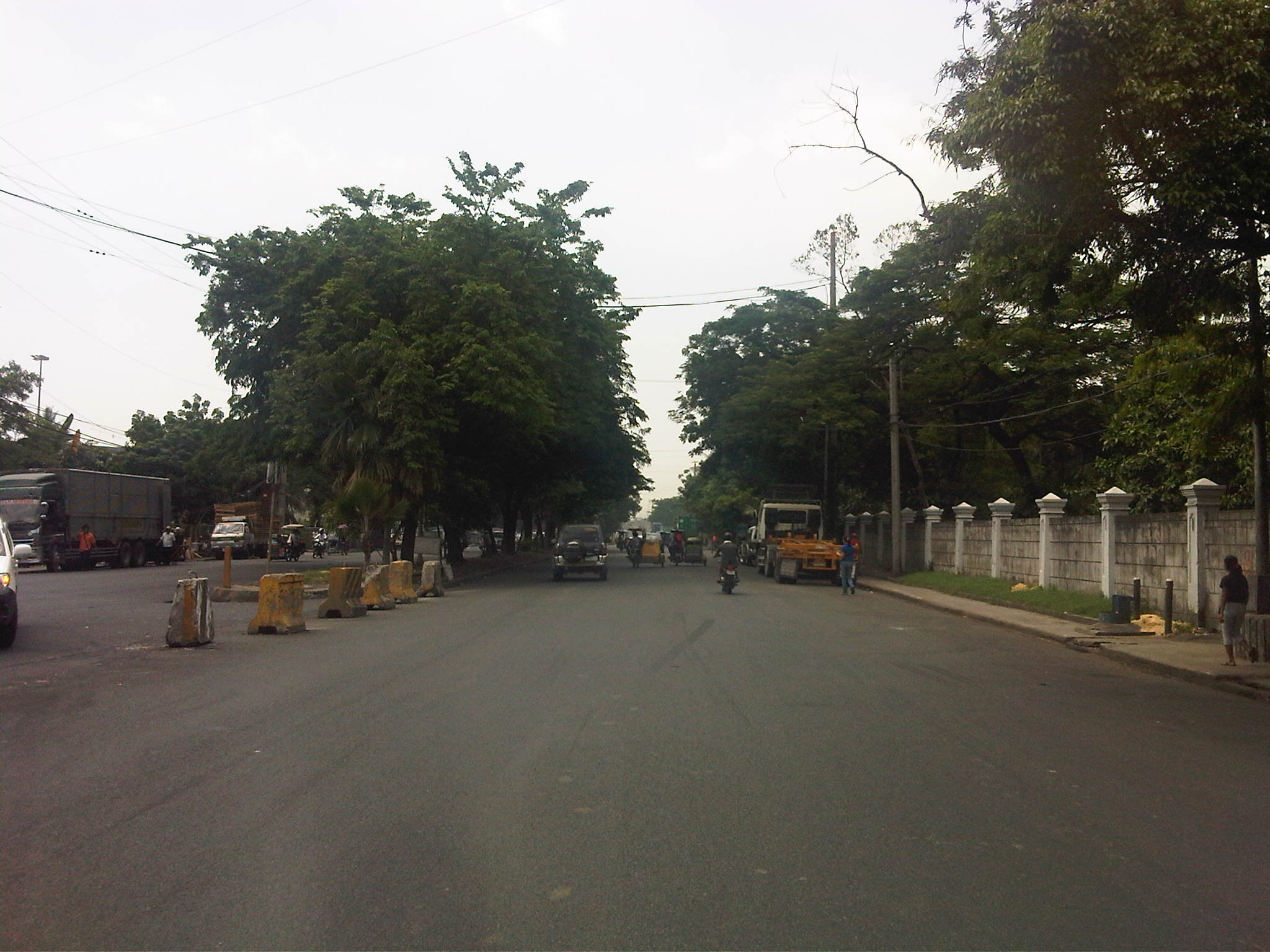 Walls of Intramuros – the walls on the right are not The Walls but those of the Intramuros Golf Club, which is located in the area that used to be the buffer zone before the Walled City, much of which are part of a golf course. It is interesting to note that despite the excellent condition of the pavement, much of Bonifacio Drive does not have lane markings. In the previous photo, the markings are badly weathered. It can be observed that many trucks are parked along either side of the road – a preview of more trucks parked along the curbside in the area.
 Approach to the Del Pan Bridge – the bridge is where Radial Road 1 ends and Radial Road 10 begins. We didn’t cross the bridge spanning the mouth of the Pasig River but instead took the service road that led under the bridge to what is technically part of the Muelle Del Rio. The interchange provides access to Baseco and the container terminal as well as for vehicles making U-turns towards the southbound side of Bonifacio Drive.
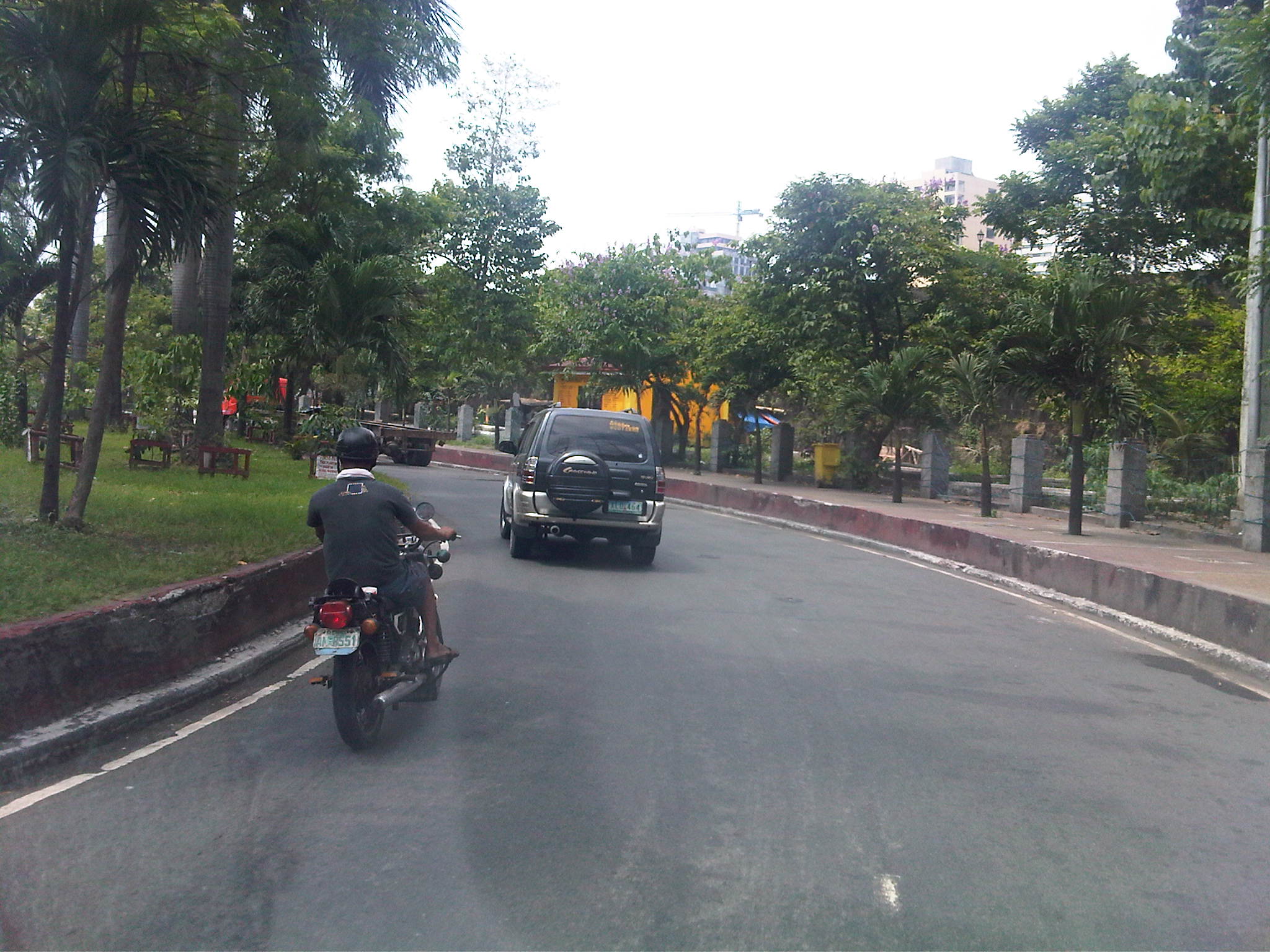 Service road – keeping to the right of Bonifacio Drive, we took the turn prior to Del Pan Bridge. On the right side is a buffer area prior to the walls of Fort Santiago, which is strategically located at the mouth of the Pasig River.
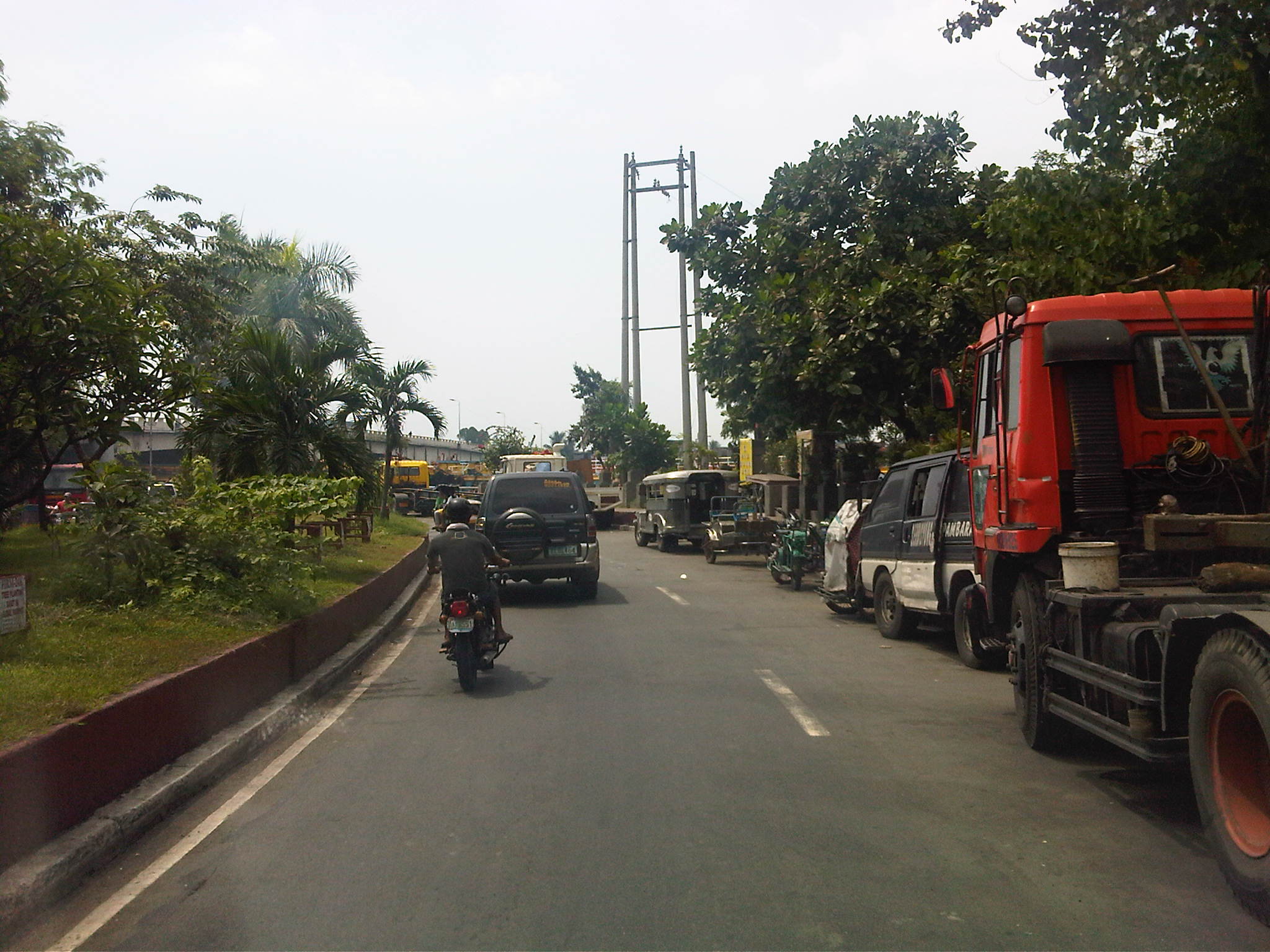 Reduced capacity – the service road’s capacity is significantly reduced by the vehicles, mostly trucks, parked along the road. I am not sure why this is allowed but toleration of such practices goes to show the lack of adequate facilities for freight vehicles around the Port Area, which is something that needs urgent attention.
 More parked trucks – many trucks we saw had trailers and were probably waiting to pick up containers at the South Harbor. Conspicuously, many trucks like the yellow ones in the photo seem to be owned by a few companies, who perhaps have no suitable depots or garage facilities for their trucks. Of course, there is also the constraints brought about by the truck ban being enforced in Metro Manila. But this seems to be a flimsy excuse considering many roads in the area allow truck traffic throughout the day, being designated as trucks routes.
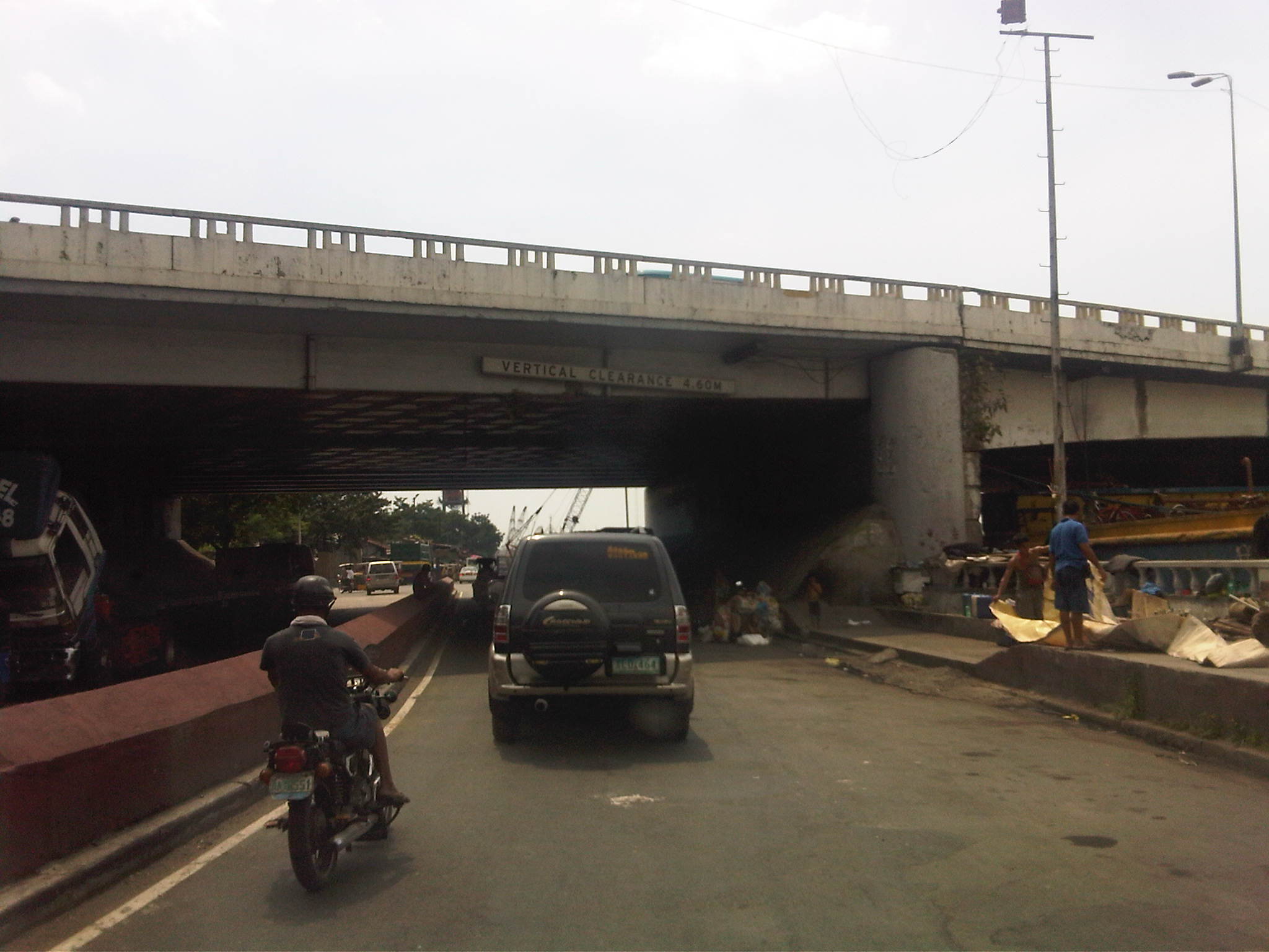 Beneath the bridge – under the Del Pan Bridge, there are more parked trucks. Many are being maintained or repaired and there are informal settlers among the truckers camped out under the cover of the wide bridge. There are also barges lined along the river that also seem to be waiting for their turn to be towed and/or loaded.
 Intersection – the channelization at this point along the service road guides motorists to where the road branches out into the Muelle Del Rio (straight) and the segment towards 2nd Street and the ramp to Bonifacio Drive southbound (left).
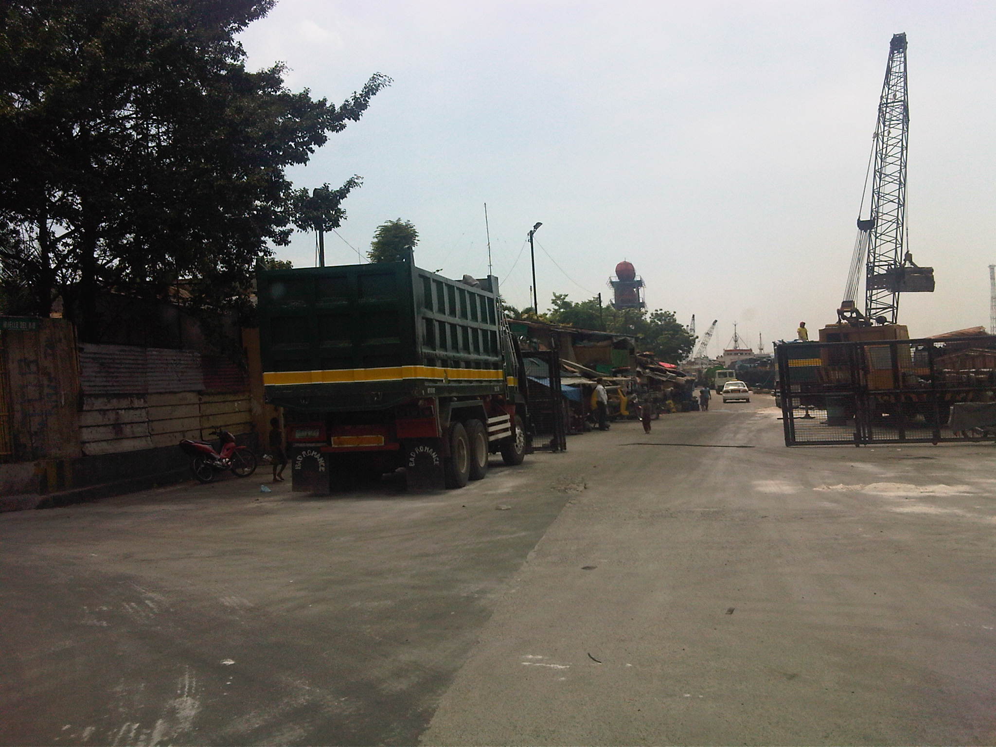 Muelle Del Rio – the road is supposed to be part of the Muelle Del Rio but is being used as part of the port where cranes load and unload materials unto barges lined along the river mouth. There is a gate structure, which suggests that the area is limited access to general traffic. The road is actually a dead-end.
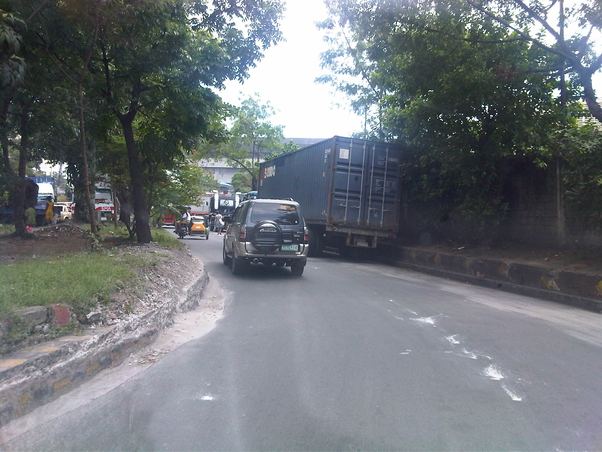 U-turn – turning left at the intersection had us practically making a U-turn under the bridge. In front of us were more parked trucks as we proceeded towards the junction to 2nd Street. Notice the damaged curbs? These are caused by trucks maneuvering and often hitting the curbs.
 Container terminal – trucks lined along 2nd Street included those bound for the South Harbor’s container terminal. The one with the blue container is entering the gate, which entails some clearance procedures conducted by security. Truckers seem oblivious to the general traffic that they block on a regular basis. Our friends from the DPWH state that this congestion due to the trucks is among the complaints they get from their visitors.
 More queuing – just when we thought the queue of trucks were only because of the South Harbor’s container terminal, we saw this line of trucks past the gate. The buildings on the right are DPWH’s (NCR and Bureau of Maintenance). There is often no other choice but to run counter-flow to the traffic in order to get to our meeting.
 Home free – our driver managed to get through the queue of trucks as truck drivers allowed us to turn towards the DPWH offices after we got their attention and signaled towards our destination.
 Return trip block – after the meeting, we had to go back to where we came from as 2nd Street was a dead-end. We were greeted by the same queue that occupied one lane of the road and necessitated for counter flows like the lorry partially covered by the trailer in the photo.
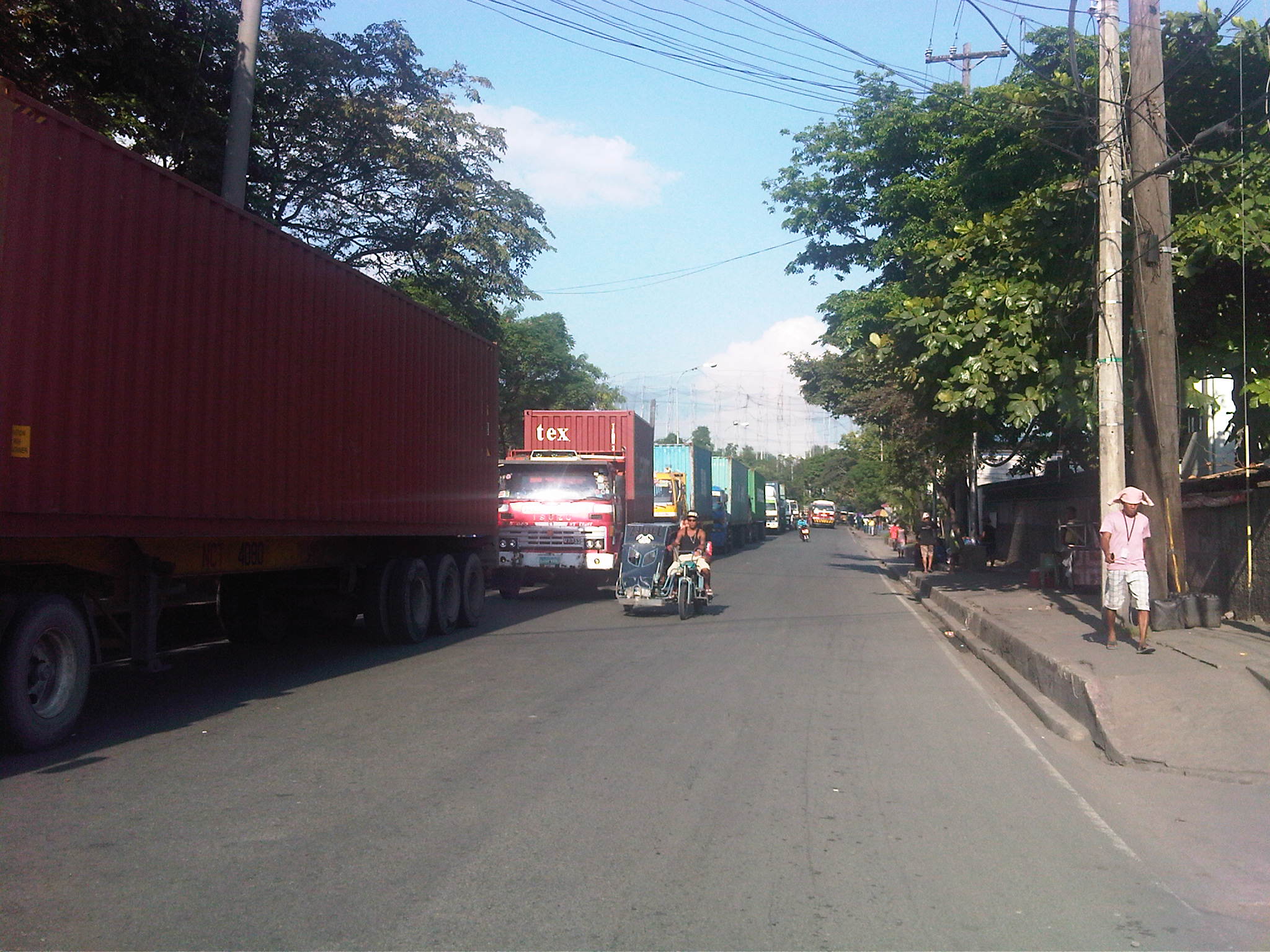 Container traffic – most if not all the trucks bound for the terminal carried containers. I assume these were laden with various goods that are to be loaded unto ships at the port. Those that didn’t have containers were probably picking up freight previously unloaded at the terminal and cleared for transport. I can only imagine what if there was still a railroad line operating to transport such containerized freight. These would have been more efficient for long distance origins and destinations where trucks will only have to provide feeder or collector services (distribution).
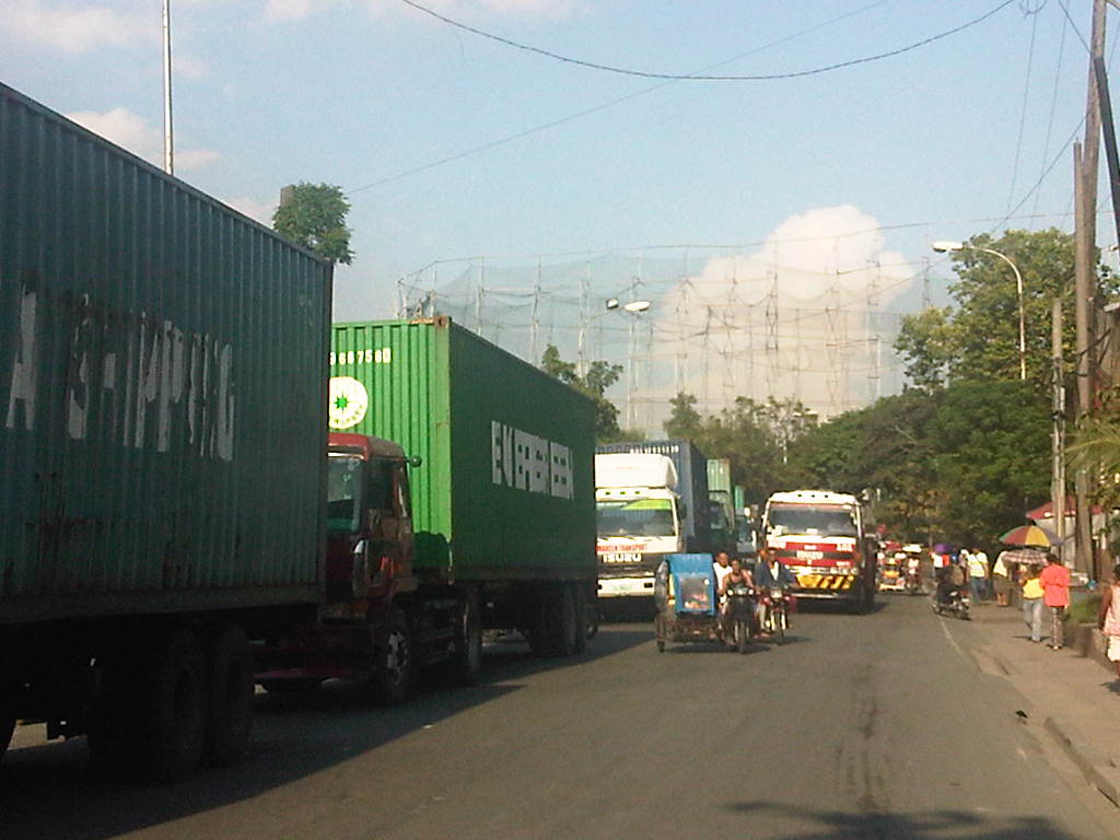 Hogging the lanes – as if the queued trucks occupying one lane were not enough to cause congestion, this truck followed the counter-flowing tricycles (Yes, there are tricycles here serving the Baseco compound and 2nd Street.). It was a good thing the 2nd Street’s lane widths were quite generous so it could actually fit 3 lanes. Curiously, there are no pavement markings on the street to delineate the traffic lanes.
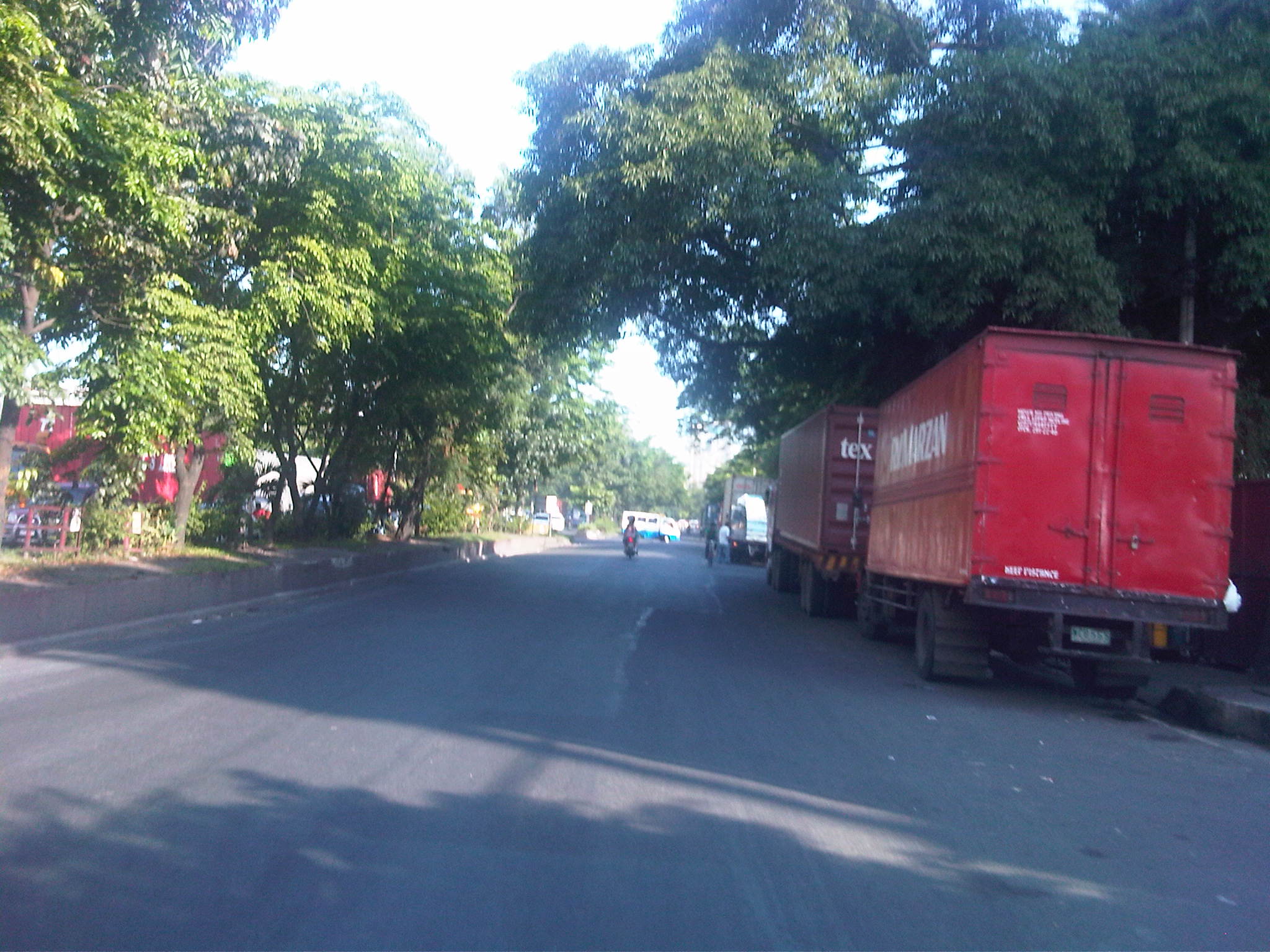 Trucks galore – finally getting back on Bonifacio Drive (southbound) to return to Quezon City, we were greeted with more trucks, this time parked along R-1. While traffic was generally light, I couldn’t help but wonder why these practices of trucks are allowed to continue and why such issues have not been addressed by the City of Manila and the Philippine Ports Authority.
 Tolerated too? – we spotted these tricycles with the yellow sidecars along Bonifacio Drive. These apparently serve the streets (local roads) in the port area. Tricycles are supposed to be banned from national roads so they should not be traversing Bonifacio Drive nor should they be allowed to have informal terminals here.
 Underground economy – vendors and hawkers at the island to the entrance to 13th Street (aka Oca, Sr.) at the Anda Circle (rotonda).
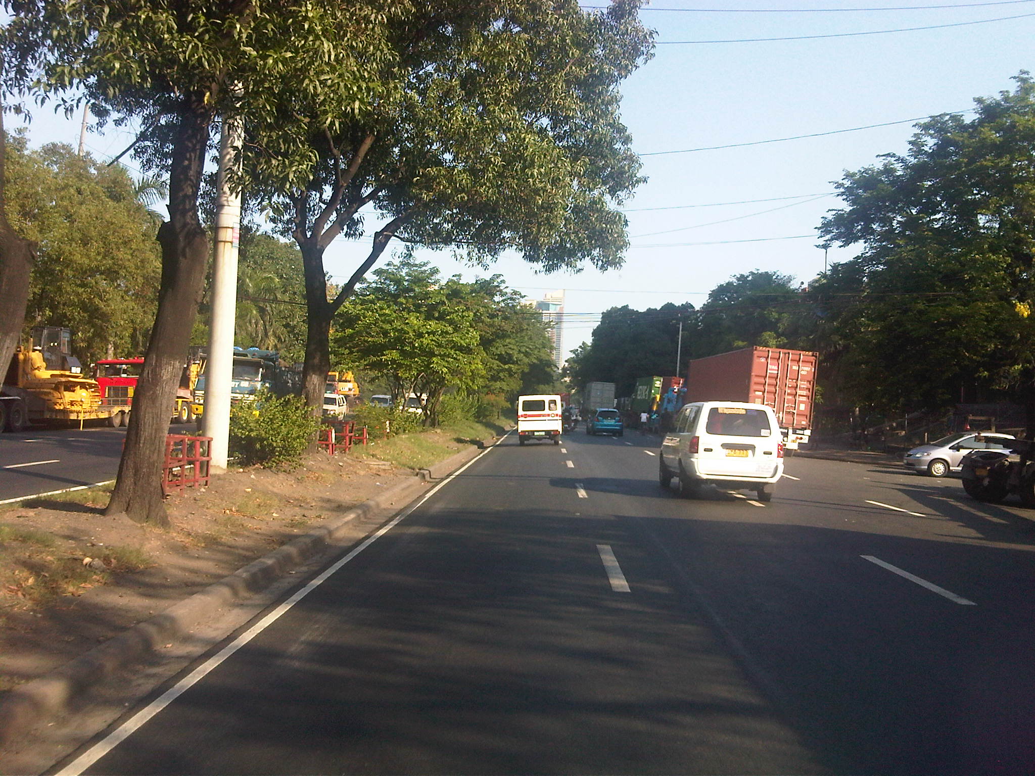 Model roads – past the Anda Circle, the well-maintained section of Bonifacio Drive was complete with lane markings and noticeably clean.
 Proof of concept – Bonifacio Drive should indeed be according to standards considering that its just in front of the DPWH Head Office. It would be an embarrassment for the department if the road in its backyard is poorly maintained.
–
Fort Bonifacio flyover
After only seeing the new overpass to C5 northbound from Bonifacio Global City when it was under construction and after its completion from the perspective of a traveler using C5, I was finally able to use the flyover a couple of weeks ago. The following photos show the newly constructed overpass connecting 36th Street to C5 northbound that is supposed to decongest the older interchange emanating from 26th Street/McKinley Parkway.
 Approach to the new overpass – the chevrons are supposed to guide motorists as to the separation of traffic lanes. The lane to the right leads to the service road for Market! Market! and connects with C5 southbound.
 Curvature – the alignment from the approach to the turn towards C5 is actually a reverse curve
 View from the top – this is what motorists will see upon reaching the top of the overpass as he/she turns towards C5, which is shown on the left of the photo. There is also a good view of the Sierra Madre mountains.
 Descent – traffic along the two-lane overpass was very light when we used it; quite ideal for speeding a bit to save on time on our return to the university
 Separate ways – the lines delineating the two lanes of the flyover transform into chevrons and directional arrows are visible to guide motorists merging into C5 and traveling in the direction of Pasig and Quezon City, and those heading towards Taguig and Pateros via the service on the right.
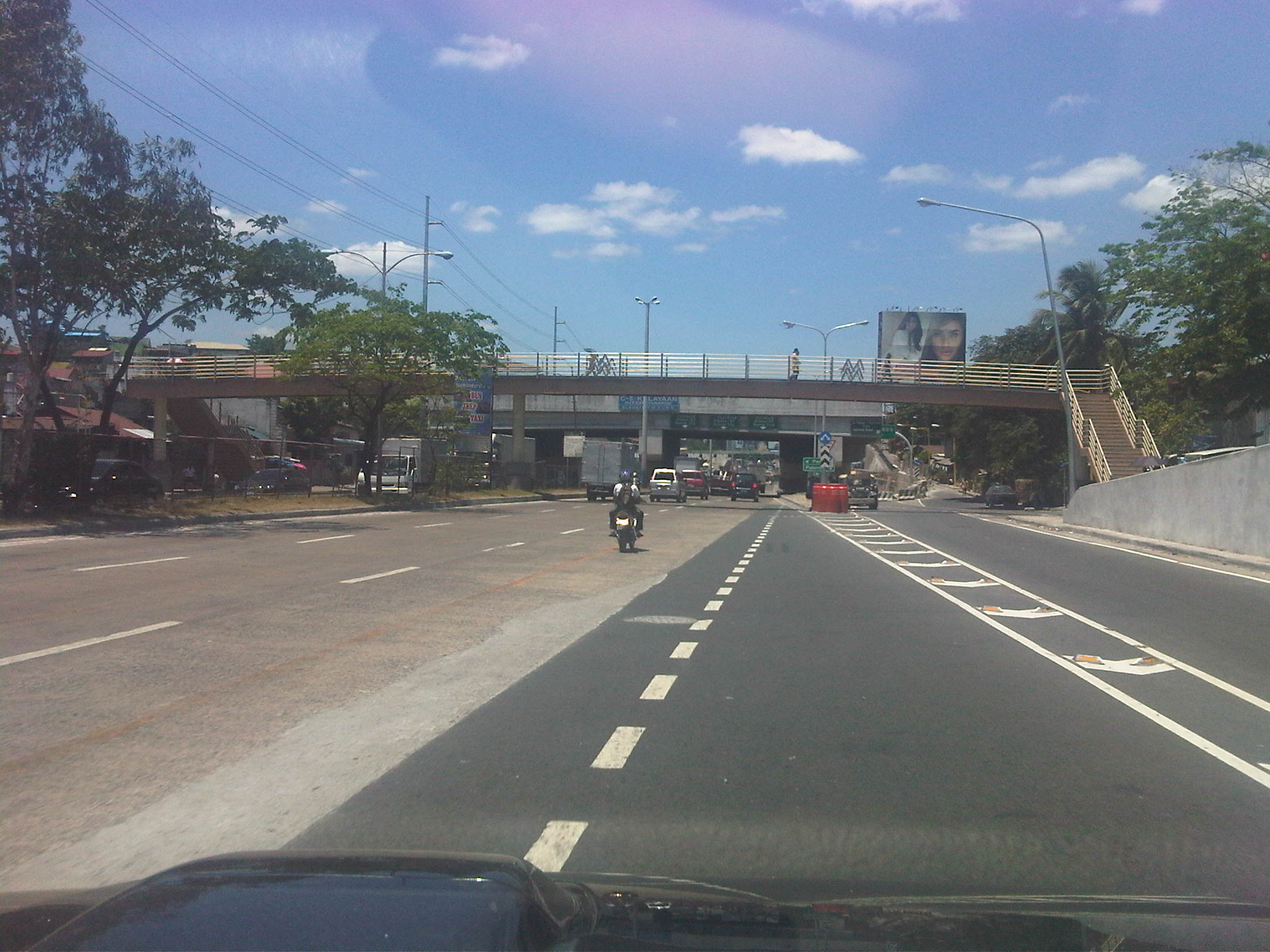 Overpasses galore – the south component of the elevated U-turn pair, a remnant of the previous MMDA dispensation, is obscured by the pedestrian overpass connecting the East Rembo districts separated by C5.
 Interchange? – the pair of elevated U-turns is called the C5-Kalayaan interchange, quite a stretch to many traffic and highway engineers who were critical of the facilities that were constructed instead of the recommended underpass along C5.
–
Road crashes: disasters waiting to happen
While I’m very appreciative of the efforts of the MMDA particularly on traffic management, there is still much to be desired regarding enforcement around Metro Manila. These include the need for consistent and firm enforcement of traffic rules and regulations along major roads such as Commonwealth, EDSA, and C5. There are still many instances of speeding along Commonwealth as many drivers (cars and buses) and riders (motorcycles) are already aware of the usual positions of MMDA enforcers measuring speed along the highway.
In the vicinity of current and former U-turn slots, there are also many violations especially where motorcycles can squeeze into openings to conveniently (though dangerously) make turns. Some U-turn slots are positioned across side streets of major roads and are used by motorists for making left turns. Often, one will find vehicles inching their way to cross the major road, effectively blocking through traffic. This is particularly the case along Katipunan just across from the gate of an exclusive subdivision well-known for its politician residents. While the Katipunan – C.P. Garcia intersection is only a few meters away for those intending to travel along the southbound side of C5, many vehicles (conspicuously those which are expensive and of the luxury type) cross C5 northbound to make left turns at the U-turn slot/median opening. A few meters away, MMDA enforcers and QC Police turn blind eyes to the practice, leaving motorists to fend for themselves in trying to avoid each others’ vehicles while also trying not to constrict traffic.
Such situations increase the likelihood for road crashes in the area, exposing people to unnecessary risks. These also exacerbate traffic congestion as crossing vehicles interrupt the otherwise smooth (and continuous) flow of traffic towards C.P. Garcia. Such situations are also perfect examples for cases where there may not be crashes occurring but there is a high likelihood for incidents to happen. Crashes waiting to happen seem too theoretical that the MMDA and the PNP apparently have difficulties understanding the concept, which is the basis for assessments of road safety including the star ratings given out by iRAP. It is not necessarily only the actual number of crashes (or accidents) occurring that is evaluated but the likelihood for them to happen given the conditions at any particular area. Perhaps this is why many of our roads remain unsafe because many of our administrators, planners, engineers and enforcers continue to fail to understand this concept for the potential for crash occurrence. And this is where we should work on to address – very hard!
The following photo was taken one early morning along Katipunan prior to the peak period that typically starts around 6:30AM during times when there are classes at the schools along this stretch of C5.
 Early morning road crash near the La Vista gate along Katipunan (C5) involving vehicles encroaching towards the U-turn slot to make a left turn at the median opening.
Perhaps we should also extend our appreciation of the concept of disaster risk prevention and mitigation to our streets. After all, road crashes may also be treated as disasters. They result in deaths, injuries and damages to property. The only difference and probably more frightening aspect of these disasters on the road is that they do occur on a much more frequent basis than you major earthquakes and typhoons.
–
Surabaya’s Juanda International Airport
Traveling to Surabaya, Indonesia for a conference in 2009, we made the trip via Hong Kong rather than via Jakarta. It was the call of our sponsor rather than ours to fly via HK. I understood the logic of the arrangement as both legs of the trip (Manila to HK and HK to Surabaya) were international flights. If we flew via Jakarta, the second leg would a domestic flight. Cost-wise, the latter option could have been cheaper but comfort-wise, the first option was definitely better. Our sponsor booked us on Cathay Pacific Airways, which flew directly between HK and Surabaya. From what I’ve learned from other more experienced travelers, given the option they would always take Cathay over Garuda, which is Indonesia’s national carrier. Another option, which another friend took, was to fly via Singapore using Singapore Airlines between Manila and Changi, and then Silk Air (SIA’s regional spin-off) from Changi to Surabaya. I can imagine that to be also a good option considering the usually excellent service of SIA.
The following photos show just a glimpse of Juanda Airport as I didn’t get a chance to take photos during our check-in and stroll within the airport. I wasn’t that conscious about taking a few photos here and there as I was not blogging about transport and traffic back then. But based on what I remember, arrivals at the airport was no different from domestic operations in many of the larger Philippines airports. And for departures, the Juanda Airport offered only the basic conveniences to travelers and had few shops for last minute purchases or recognizable restaurants for quick meals. On our way back, it wasn’t really an issue as we were passing through HK and had a few hours to burn at HKIA prior to the Manila leg of our return trip.
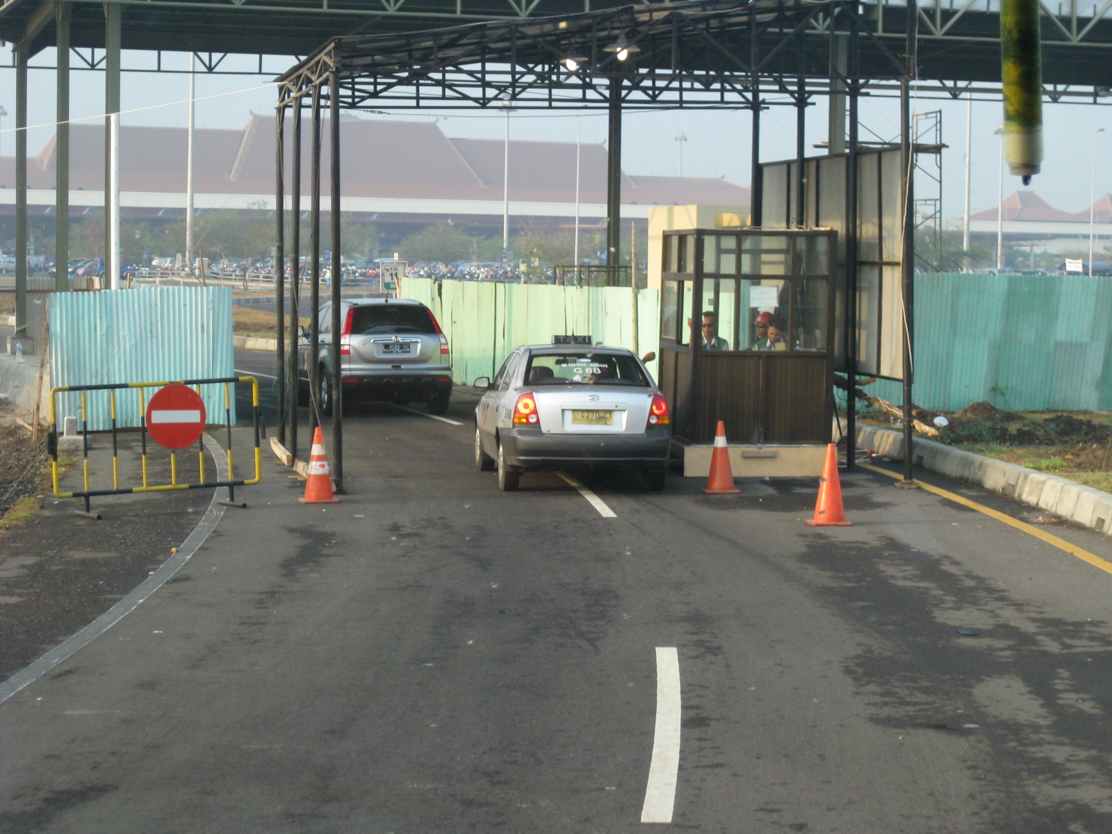 Security check for vehicles bound for the airport
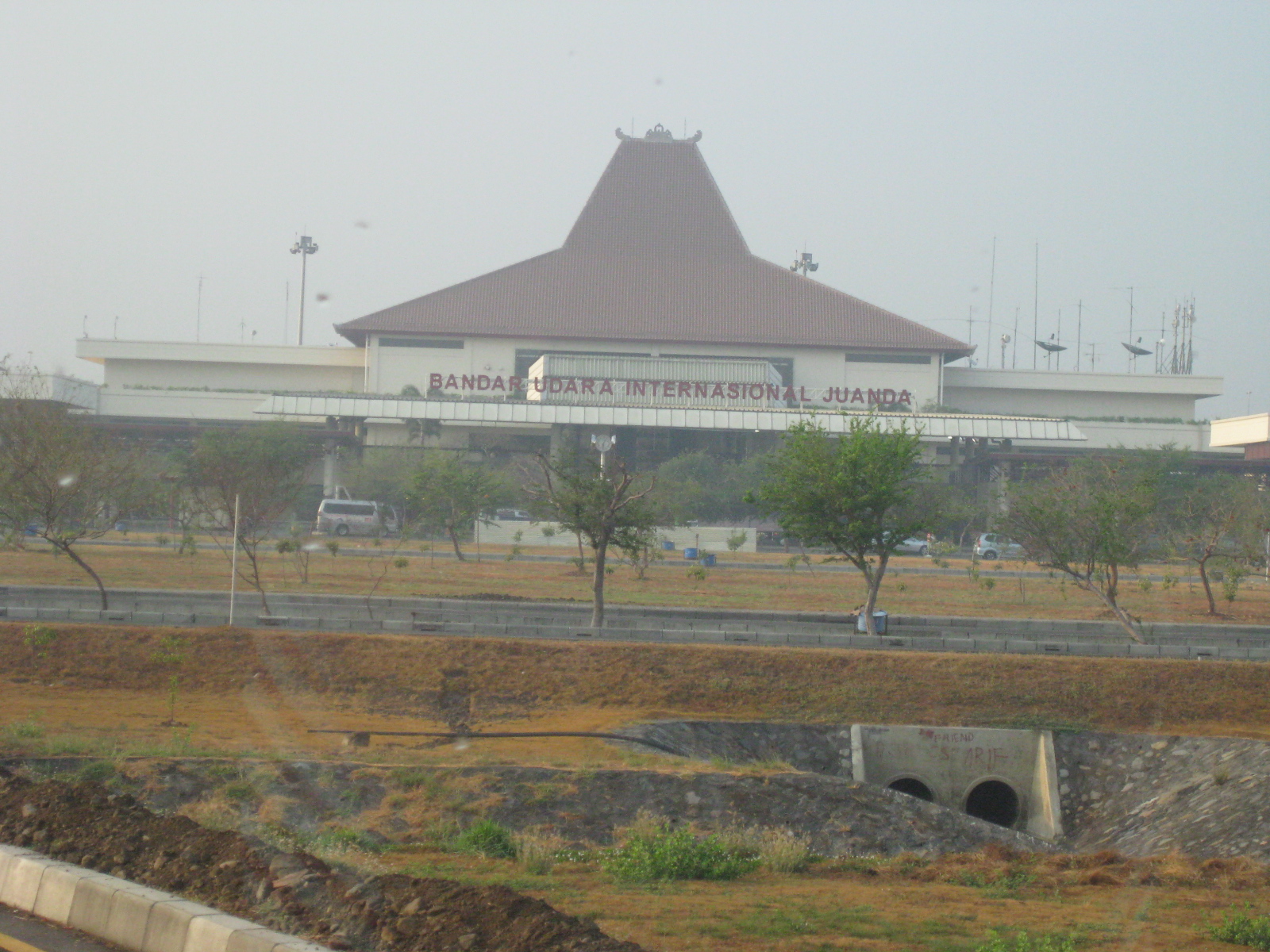 The Juanda International Airport terminal as seen from the highway
 Taxis lined up for passengers at the airport
 Approaching the terminal, we were surprised with the pedestrians crossing the wide road
 Private cars and public transport (e.g., taxis, buses) carrying common passengers stop along the terminal building
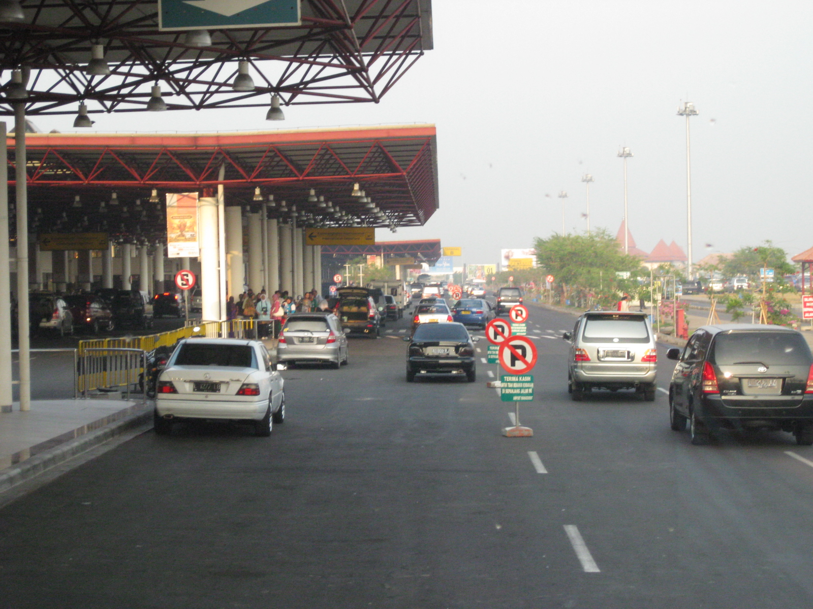 VIPs and others get to use the road closer to the terminal shown on the left in the photo
 Departure lounge at the Juanda International Airport
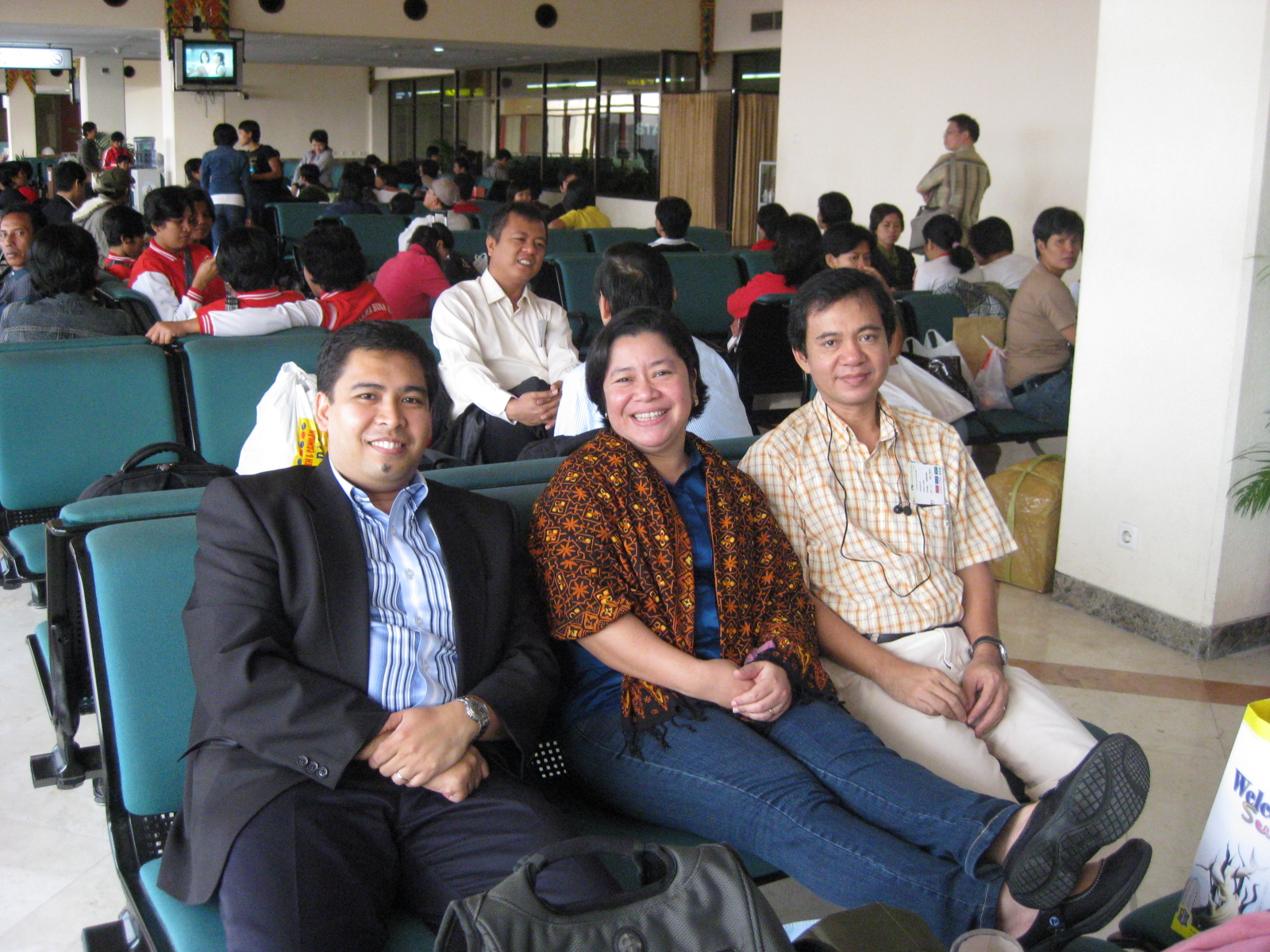 Our group posing for a souvenir photo at the airport
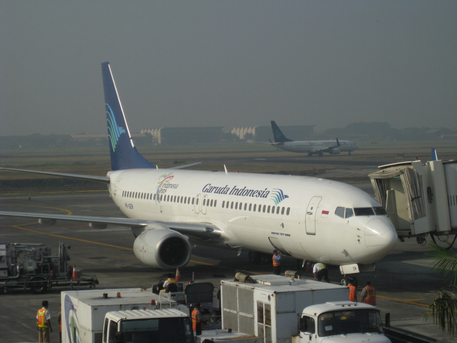 Garuda Airbus A320 docking at the air terminal, Garuda is Indonesia’s national flag carrier
I was not impressed with Juanda Airport at the time we visited Surabaya in 2009. It was my first time in Indonesia so it would be unfair to judge Indonesian airports by what I saw in Surabaya. Bali/Denpasar was much better and a more recent experience, and with a new terminal being constructed there to accommodate the millions of passengers traveling to Bali, I guess those facilities will be built to impress visitors and residents alike.
–
Mactan Cebu International Airport – Take 1
Cebu is known as the Queen City of the south and is already considered along with adjacent cities and municipalities like Mandaue, Lapu-lapu and Consolacion as a metropolitan area. In this case, Metro Cebu would be the second metropolis in the country after Metro Manila. Unfortunately, the term is also a misnomer as there is no formality to the grouping like Metro Manila, which is well-defined and governed in part by the MMDA. (Of course, the LGUs within the National Capital Region still often act independently with their own mayors and councils.)
The Mactan Cebu International Airport is located not in Cebu City but in the island of Mactan and in Lapu-lapu City. The airport is the second busiest in the Philippines after NAIA and serves cities in the Visayas and Mindanao that do not have direct flights with Manila. Mactan being an international airport, there are also direct flights to overseas destinations including those to Japan, Singapore, Korea and China. Mactan airport is currently headed by Nigel Paul C. Villarete, the former Cebu City Planning and Development Coordinator, who is also known to be a leading proponent of the Bus Rapid Transit (BRT) system that will soon be implemented in Cebu City. Such as system might eventually connect the airport with the rest of Metro Cebu in what promises to be a modern mass transit system that will address the needs of the cities.
The following few photos were taken at the airport during my second trip to Cebu sometime in the middle of 1996. The date on the prints I scanned is erroneous as I haven’t been to Cebu prior to 1995, when I went there as part of a study team evaluating the traffic signal control system in the city. At the time, Cebu had adopted the Sydney Coordinated Adaptive Traffic System (SCATS) and the system was being considered for Metro Manila as well. I was involved in the evaluation of SCATS in Cebu and the “before” assessment for Metro Manila. I remember that we worked with Cebu’s City Traffic Operations Management (CITOM) as well as the local supplier of SCATS.
 PAL B737 taxiing towards the terminal while an Airbus A330 taxis towards the runway
 B737 docking at the Mactan airport terminal
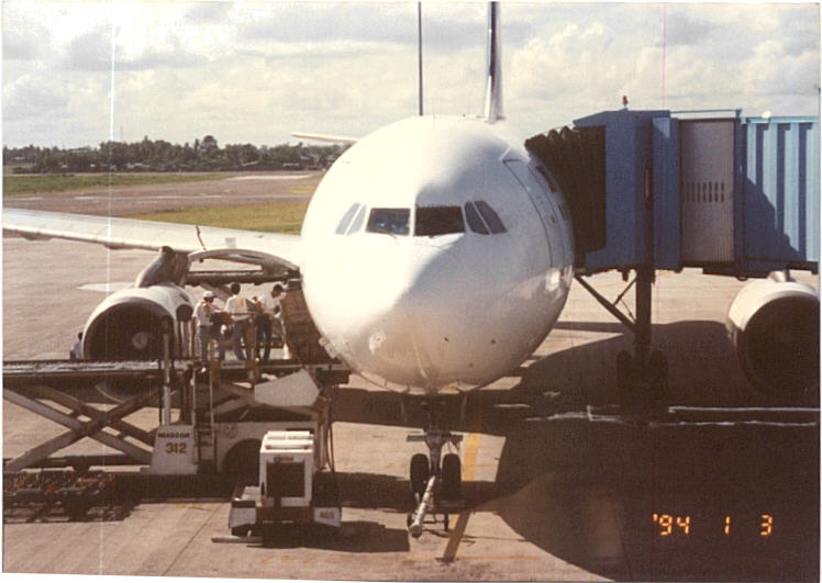 Baggage being off-loaded from a B737 while passengers deplane via tube at the Mactan airport
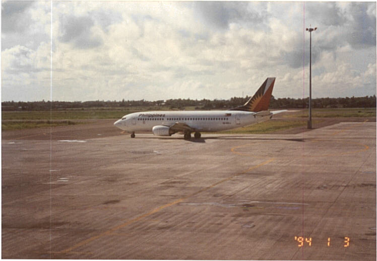 B737 taxiing to the runway
 Aircraft taking off from Mactan while others taxi to and from the passenger terminal
It is interesting to note that there seemed to be no other airline aside from PAL at the time. This was not entirely true as there was one Grand International Airways or Grand Air (by the Panlilio family) operating between Manila and Cebu. Unfortunately, that airline’s operations were short-lived and they could not solve the cost and management problems related to airline operations despite the upstart being a precursor to today’s budget airlines. Cebu Pacific eventually was established and is now the country’s largest airline despite it being classified as budget.
I forget where I saved various photos of the Mactan airport that I had taken during subsequent visits to Cebu. The following photos are a few I got from a friend who is currently involved in the Cebu BRT project and happened to have a few snapshots of the passenger terminal. I have not been to Cebu for more than three years now so I really need to have another look at the airport to see the improvements in the terminal.
 Security check – Mactan airport has modern security facilities and is perhaps second only to NAIA in terms of equipment for checks to ensure the safety and security of passengers.
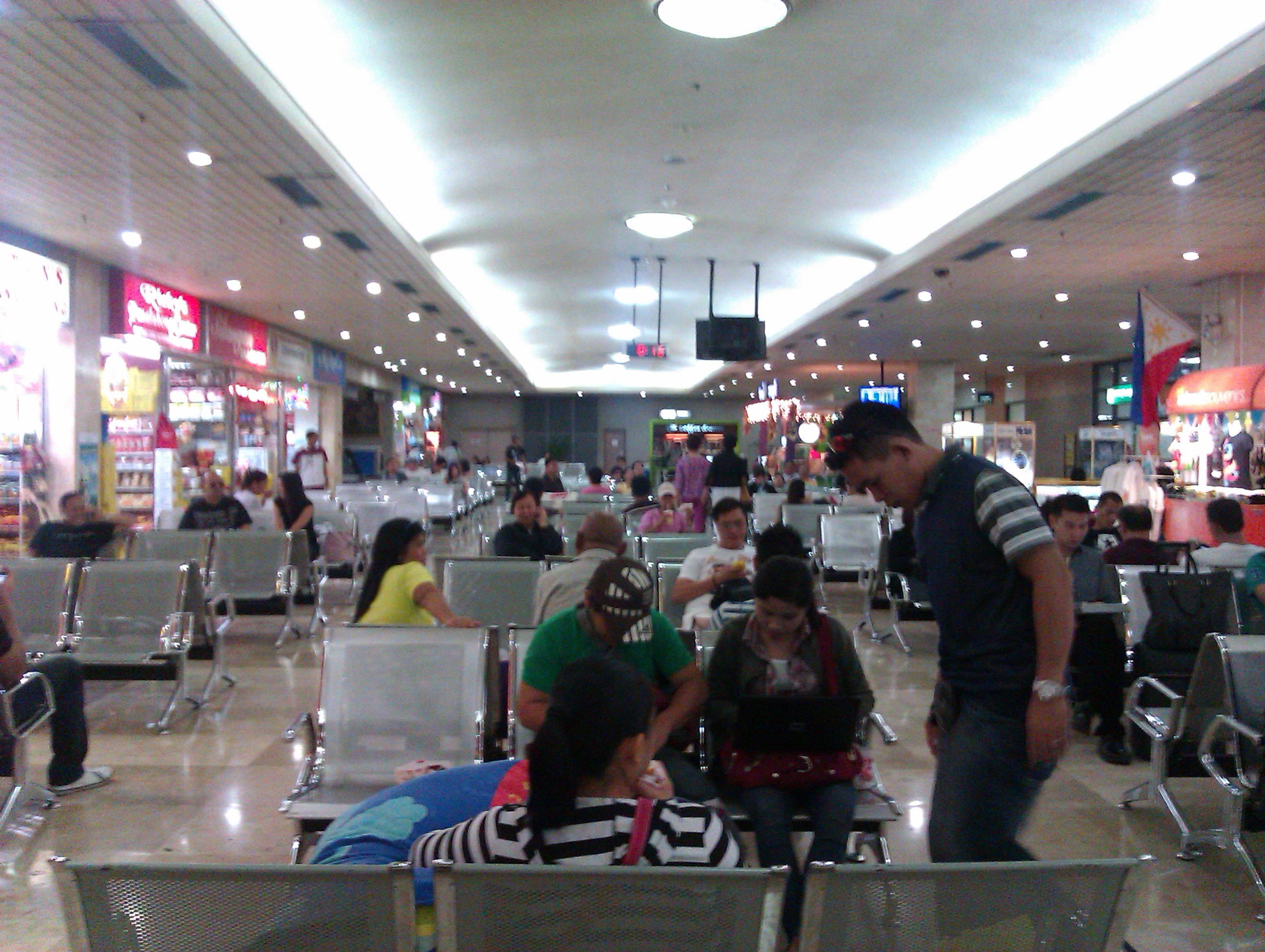 Departure lounge – Mactan’s lounge for domestic flights has many concessionaires for those wanting a quick bite before a flight or perhaps some last minute shopping
 The waiting area is spacious enough for some passengers to take a nap while waiting for the boarding call. The terminal has had a few upgrades here and there including renovations to its toilets, which are perhaps among the things people talk about when traveling through air terminals.
–
Traffic congestion due to waterworks and roadworks
Driving from the airport this morning, I already saw the buildup along Villamor due to some roadworks being undertaken along the overpass crossing the SLEX. As such, I decided to take an alternate albeit longer route via Tramo and EDSA on my way back to Antipolo. It would have been longer but I had assumed Tramo and EDSA would be free-flowing at 7 AM on a Saturday. I was wrong!
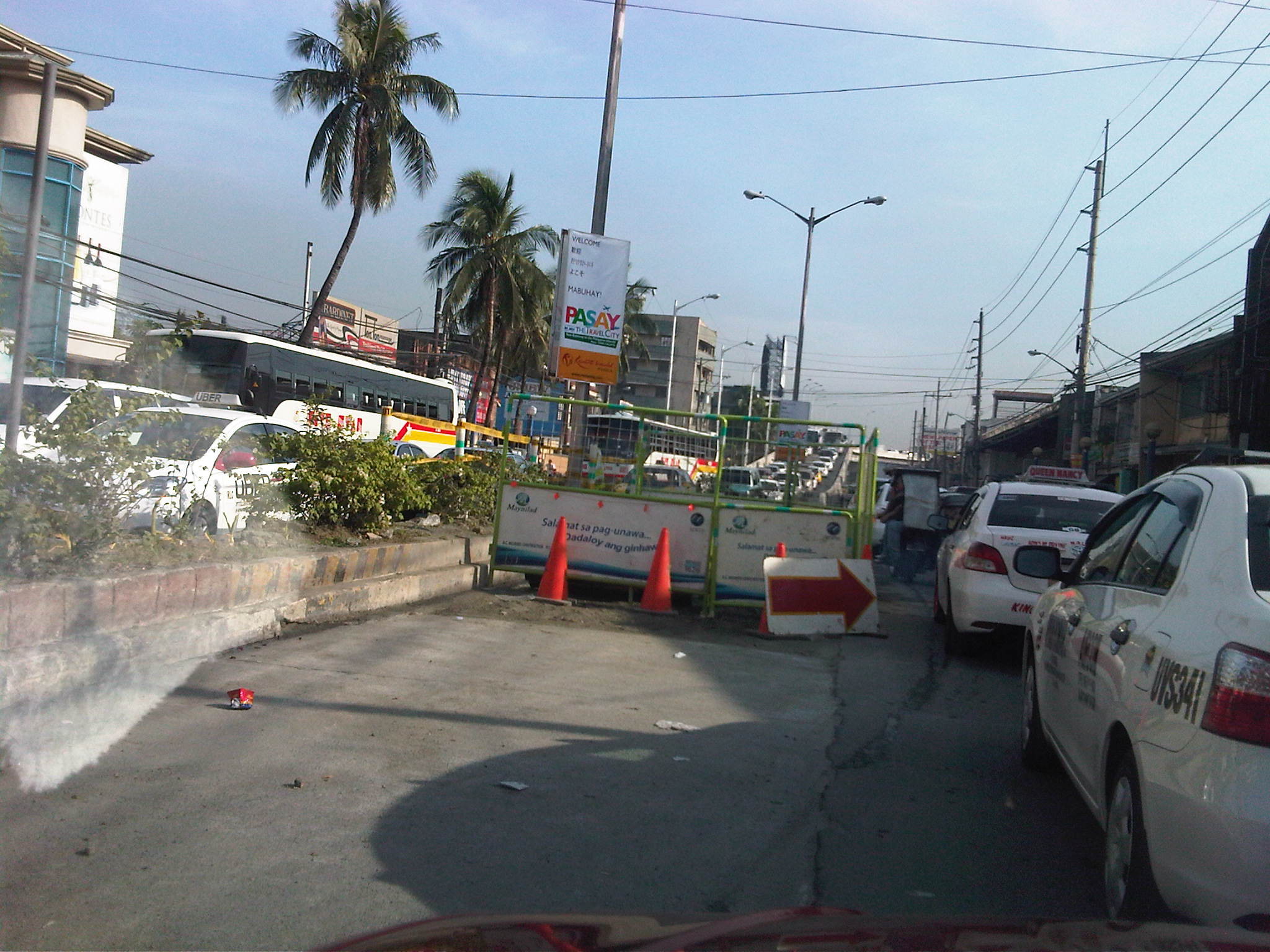 Tramo congestion – Tramo is usually congested due to a variety of reasons including provincial buses maneuvering to and from terminals and depots located along the EDSA-bound side of the road and the proliferation of tricycles and pedicabs operating along the road despite the clear ban against them on national roads. The latter serve the informal settlers who live along Tramo (and Pasay), even occupying parts of the waterways in the area. This morning, waterworks by concessionaire Maynilad added insult to the injury that is congestion along the road. Airport-bound traffic wasn’t so lucky, too, as they had to contend with what seems to be a flawed setting of the traffic signal at the intersection downstream.
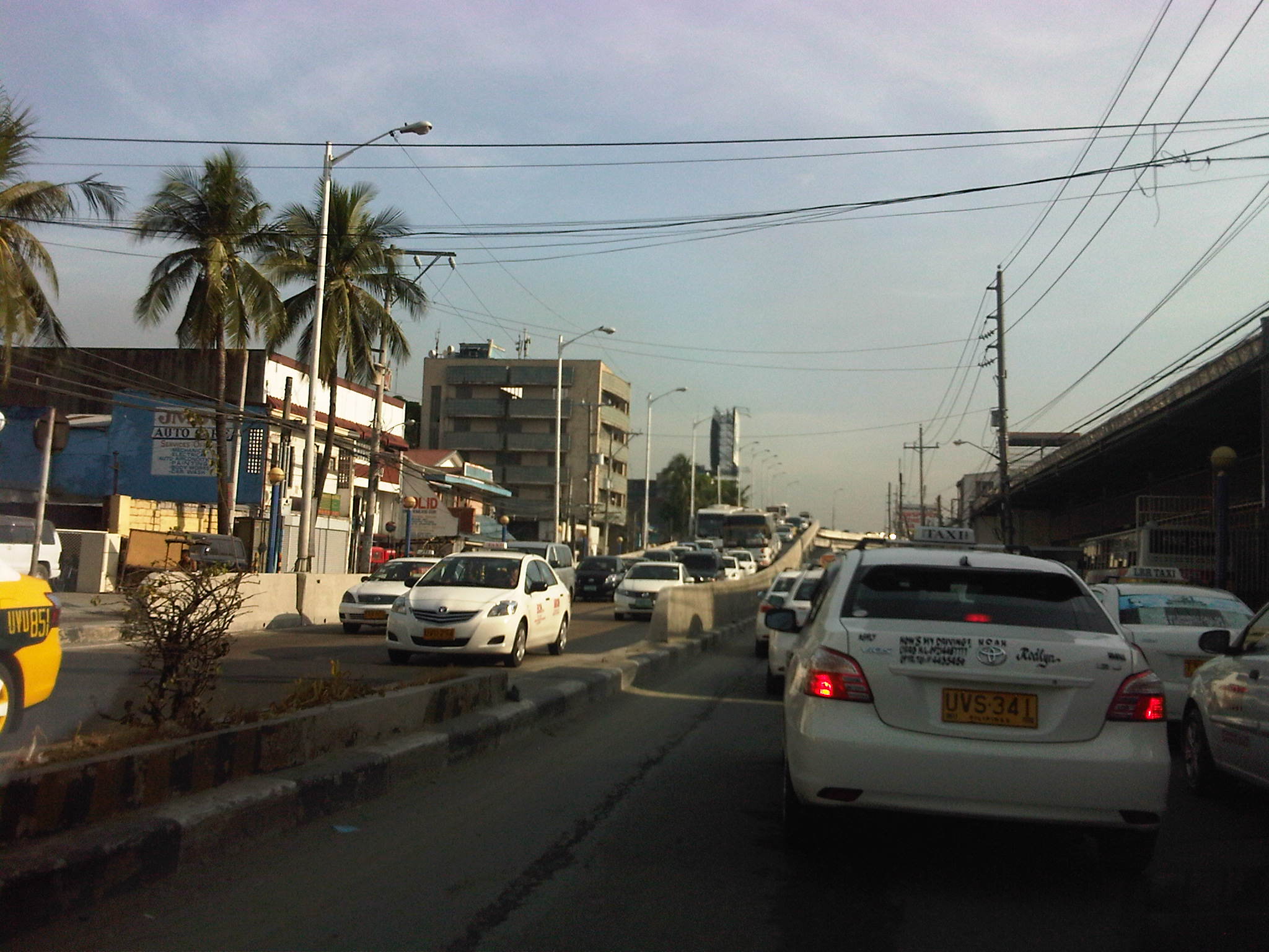 More traffic – after passing the Maynilad work site, there was still much congestion and it turned out this was due to very slow turning (i.e., all vehicles must turn right upon reaching EDSA) as MMDA traffic enforcers were not doing their jobs to ensure the intersection was clear of buses, jeepneys, taxis, and tricycles and pedicabs loading and unloading after the intersection, along which provincial bus terminals were all lined up. That’s right. There are tricycles and pedicabs along EDSA. I would have taken photos of the situation but unfortunately, these have to be against the sun and my trusty cell phone could not manage to get good photos. Such congestion is supposed to be manageable if enforcers would just be strict/firm in doing their jobs.
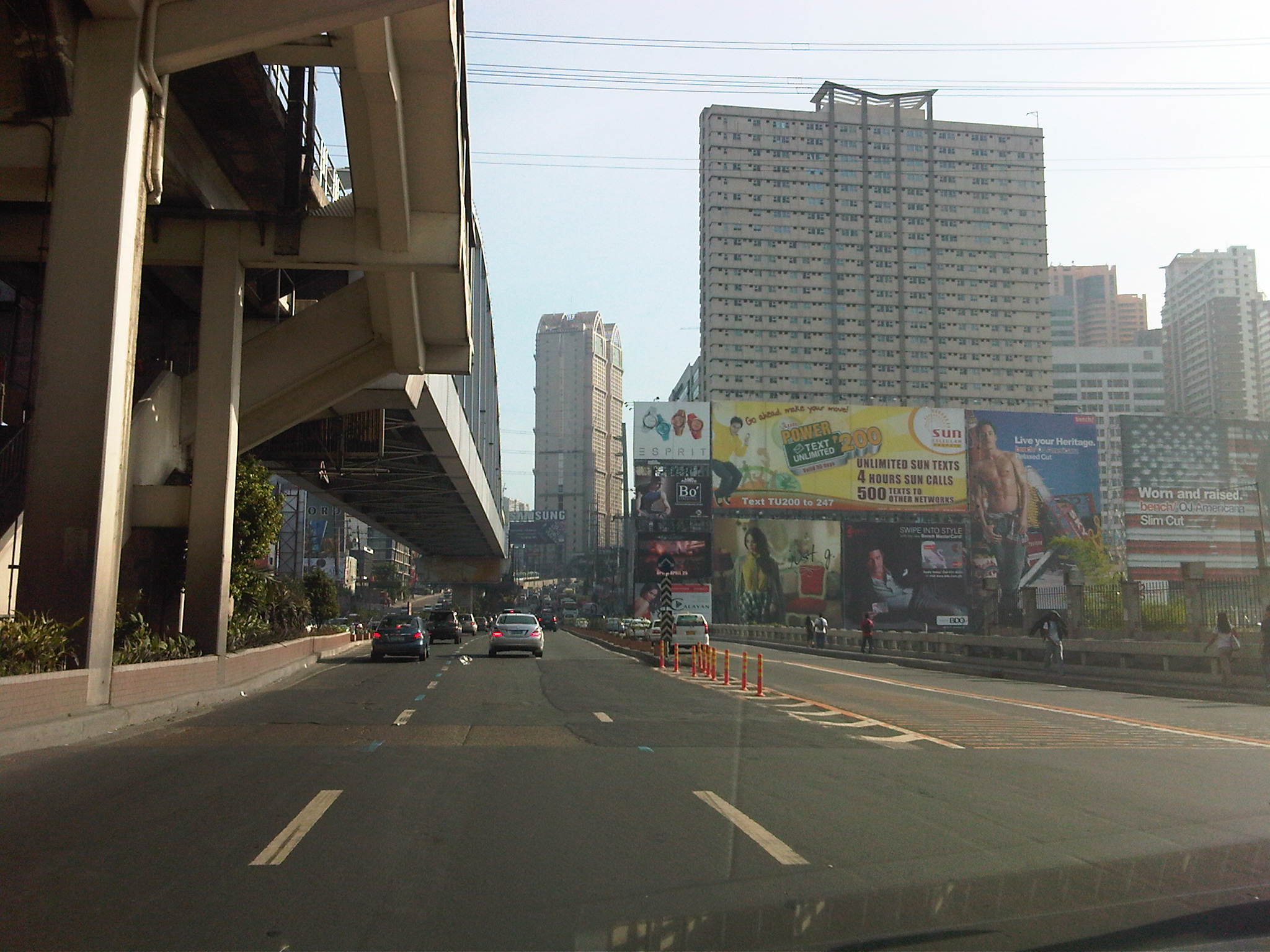 EDSA traffic – after recovering from the congestion along Tramo and the stretch of EDSA from Tramo to Magallanes, I stumbled upon another buildup as I passed Guadalupe and crossed the bridge at the Pasig River.
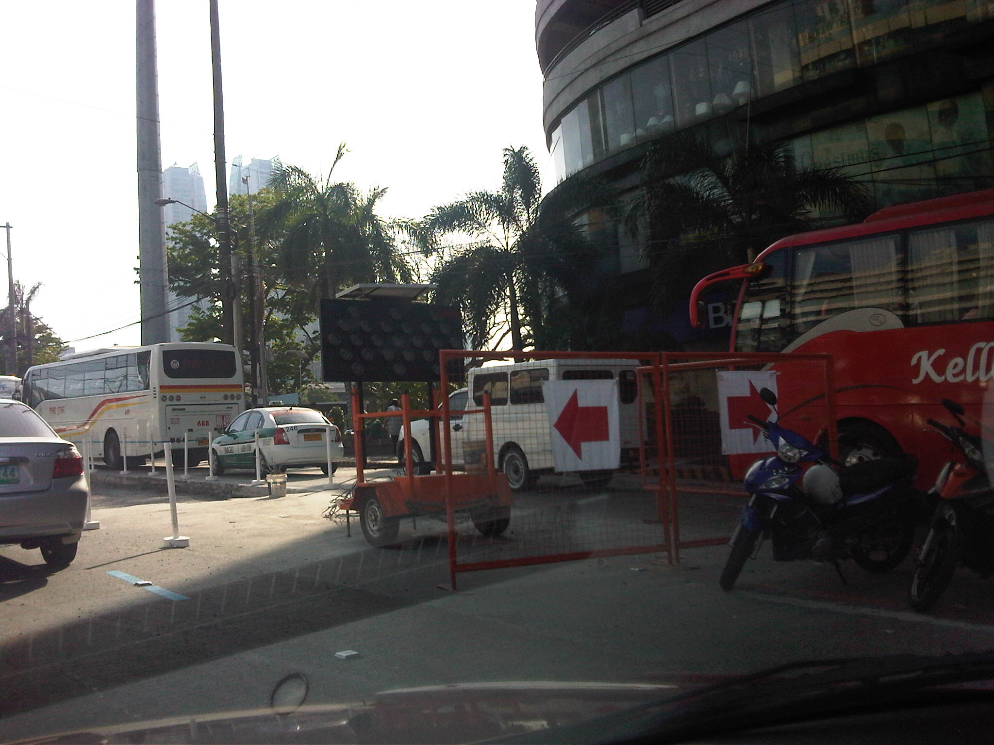 Re-blocking – it turned out that the congestion was due to roadworks along a lane of EDSA, which practically occupied 2 lanes due to the equipment and temporary barriers set up in the area near Reliance and the Boni MRT-3 Station.
 Hectic schedules – I forgot that the re-blocking works along EDSA and other major roads in Metro Manila are undertaken during the weekends when traffic was supposed to be relatively light compared to the weekdays. As such, the MMDA only allows DPWH and its contractors to conduct works during the weekends, targeting completion by Sunday night in order for the lanes to be usable by Monday.
 Imelda Avenue again – as if the congestion along Tramo and EDSA were not enough for a Saturday morning, I encountered still another bottleneck along Imelda Avenue in Cainta. This was quite surprising to me as water works in the area were supposed to have been completed more than a month ago.
 Surprise! surprise! – what I thought was a completed project turned out to be something that was stalled for some reason. I think this may also be related to a similar policy being applied to the contractors, restricting their work to weekends.
There must be a better way to manage traffic along work sites like the one above? Perhaps work should not be limited to the weekends but be allowed during the late nights to early mornings (11PM to 5AM). This would allow for more time to be available for contractors to complete projects especially during these months of April and May when school is out and weather (read: rains) is not necessarily a factor working against such road and water works. While it is really difficult to work under the scorching sun, it is still no excuse for enforcers to do their jobs right in managing traffic to ensure smooth flow. It is a wonder how we cannot impose discipline on erring drivers at the cost of valuable time and fuel to other travelers.
–
Morayta Street and some thoughts on reviving Manila
The University Belt in Manila is called such because of the proliferation of schools, particularly universities and colleges, in the area. Most recognizable are institutions such as the University of Sto. Tomas, University of the East, Far Eastern University, Polytechnic University of the Philippines, Centro Escolar University, Manuel L. Quezon University, San Beda College, San Sebastian College, La Consolacion College, National Teachers College and College of the Holy Spirit. The U-belt, as it is also known, stretches all the way to Intramuros and Padre Faura where many other institutions like UP Manila, Mapua, Letran, Lyceum, PNU and Sta. Isabel College are located.
The streets in the area are very familiar to many as they are usually indicated in the sign boards of jeepneys and buses plying routes in the area. These include Recto, Lerma, Espana, Legarda, Mendiola and Quezon Blvd. An ubiquitous street in the area is currently named Nicanor Reyes Sr., in honor of the founder of the Far Eastern University, the main gates of which are located along the street. Nicanor Reyes, of course, is more popularly known as Morayta for most people even the younger generation who picked up the old name of the street, which is more familiar with public transport drivers (jeepneys and taxis). Morayta connects Espana with Recto.
 Morayta Street (Nicanor Reyes St.) – Recto bound traffic with the FEU on the right side. There is practically two lanes per direction but one lane is usually occupied by parked or waiting vehicles. Add to this the operations of public utility vehicles as the street is along jeepney routes.
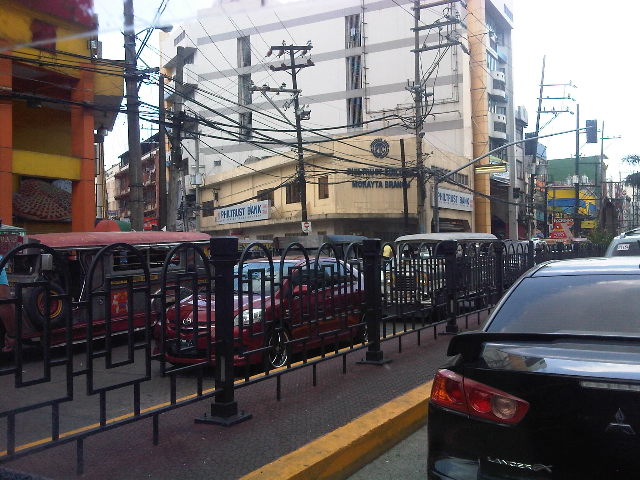 Railings – street railings on the median island along Morayta help minimize jaywalking along the busy street. There are no median openings for vehicles along the street though there are junctions like the one with R. Papa Street shown in the photo.
 Pedestrian traffic signal – there is a traffic signal along Morayta for pedestrians crossing the street in front of the FEU main gate. Such signals may be equipped with a button for on-demand green indications.
 Pedestrian flow – because of the schools, there are many students (generally in uniform) in the area. Each school would usually have a distinct uniform for females though some are generally in white with their school logos or IDs the only distinguishing aspects. Meanwhile, male students usually wear white polos and black pants. The photo above shows students crossing in front of the FEU gate. The photo also shows the typical commercial establishments in the area that include fast food and book shops.
 FEU main gate – the university has several access/egress points along Morayta including those for people only and this gate where vehicles may pass. Many universities (with only few exceptions) in the University Belt have very limited space with some having practically no campuses to speak of but only buildings where they conduct their activities.
 Parking and standing – parked and standing (waiting) vehicles occupy significant road space. While standing vehicles have their drivers and could be made to move, the parked vehicles generally take up a lane that could otherwise be used by pedestrians. I am not aware of any pay parking regulations along Morayta. There are no signs indicating pay parking schedules and rates, and have not seen parking attendants like the ones in Makati.
 Approach to Recto – the intersection with Recto Ave. is signalized and the median island is tapered to accommodate vehicles queuing to turn left towards Mendiola or Legarda. The LRT Line 2 superstructure is also visible in the photo above Recto. Pedestrians walk along the building arcades that are typical of most older buildings in Manila, which are similar to those in other old cities in the Philippines.
 Entry from Recto – the photo shows Morayta as our vehicle turned right from Recto. Taken during an April afternoon, there is very light traffic between Recto and R. Papa, and not so many students as those shown in the previous photos, which were incidentally taken during the morning of the same day. Note the vehicles parked on the curbside.
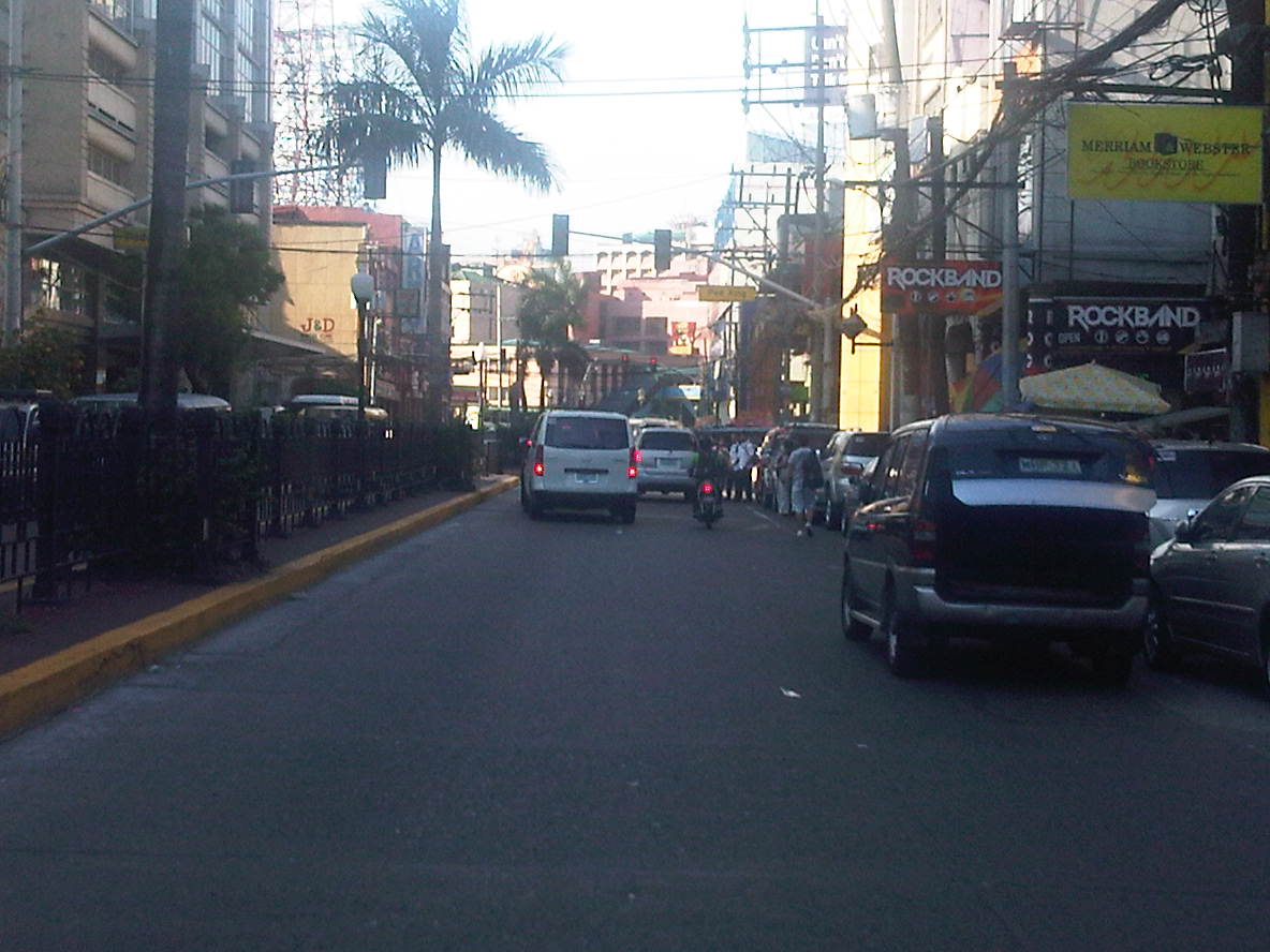 Build-up – approaching the signalized pedestrian crossing, we noticed some congestion due to the stopped vehicles and the presence of pedestrians. The section between R. Papa and Espana is usually congested due to several reasons including the presence of an informal jeepney terminal at the corner of Espana and Morayta.
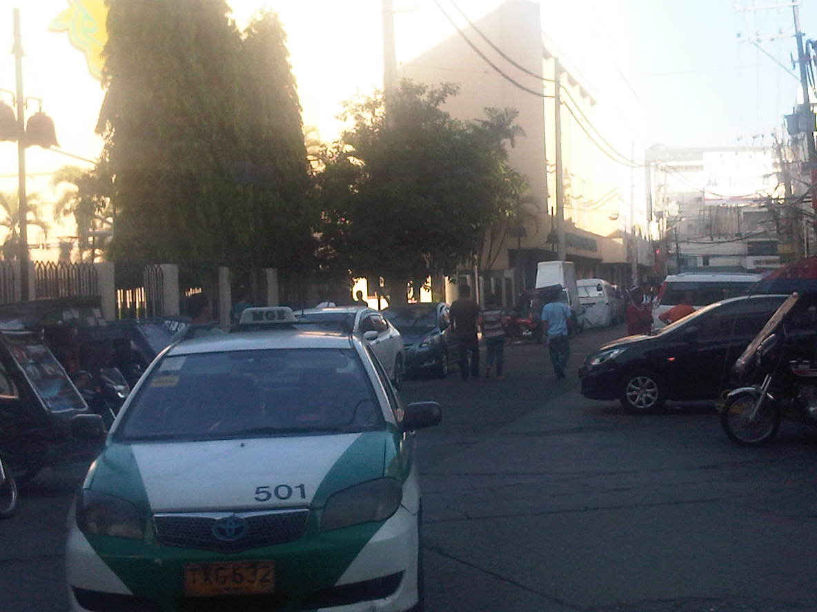 Junction with Paredes – a peek at Paredes St. shows more parked vehicles and tricycles lined up and waiting for passengers. Public transport demand along Manila’s side streets are served by tricycles and pedicabs, and until a few months ago by what were called “kuligligs.” The latter were also paratransit modes that were the motorized versions of pedicabs fitted with motors or generators much like the ones used in farm equipment or motorized bancas in seaside towns. These are called tricyboats in Davao. Meanwhile, the term “kuliglig” is used in many parts of Luzon for farm tractors used as public transport in the rural areas. Paredes St. is quite busy as the Professional Regulations Commission (PRC) is located along the street.
 Informal terminal – the approach to Espana is usually congested in part due to the informal jeepney terminal from the corner of the junction. Some jeepneys even tend to bypass the line and pick-up passengers right at the corner and often blocking turning traffic.
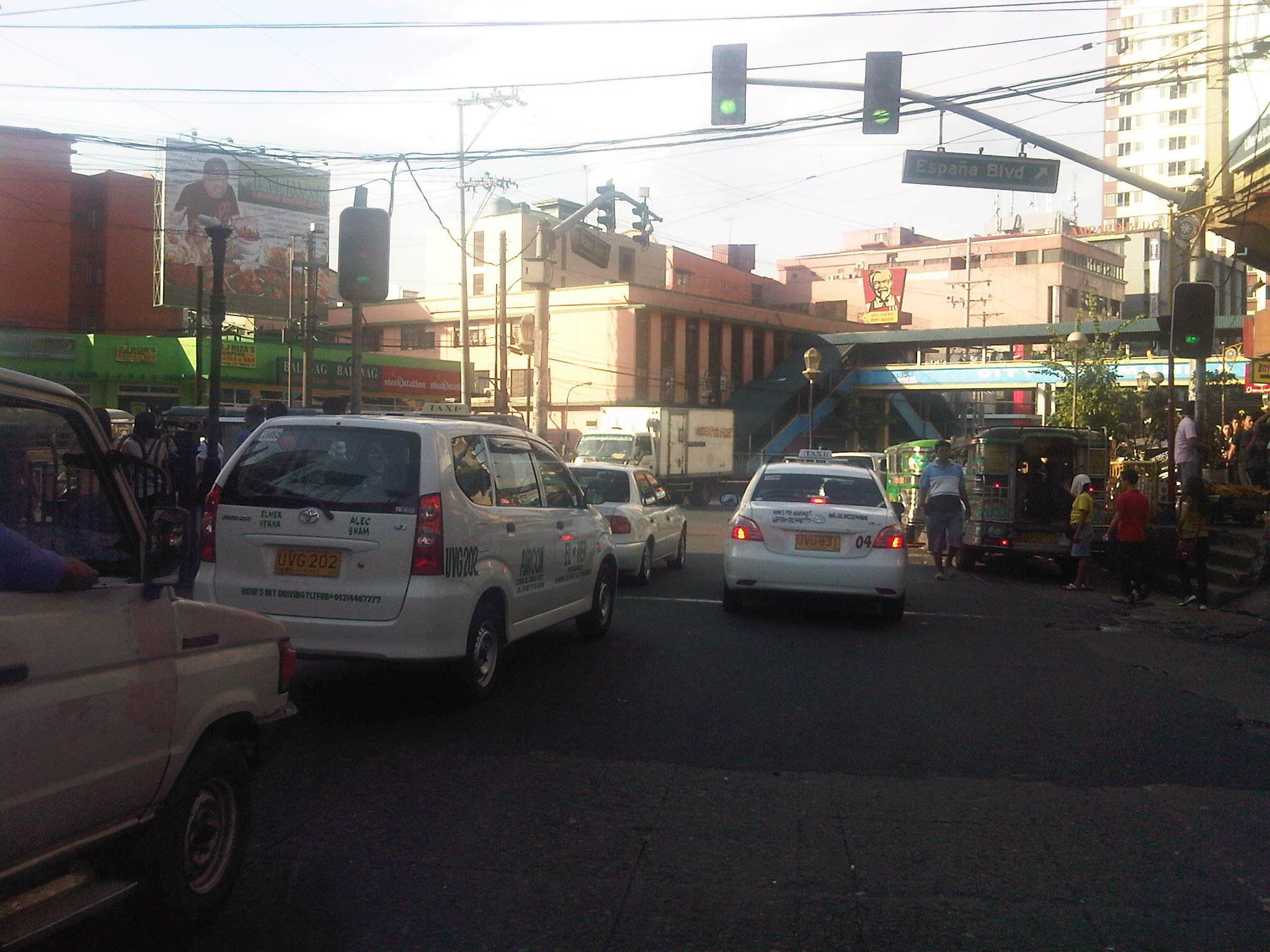 Approach to Espana – the intersection is signalized but there are jeepneys usually camped out at the corner, effectively reducing throughput along the intersection.
There are many streets like Morayta in Manila that can actually be evaluated and considered for pedestrianization if not for road diets. Careful studies and perhaps an experiment here and there should show the feasibility and practicality of generally closing some streets to motor vehicles including tricycles and jeepneys. For some streets, public transport access may be maintained but there should be genuine effort to improve pedestrian facilities to enhance the experience of walking in what are supposed to be historic streets in Manila. Considering the volume of foot traffic in the area, one would assume that the City of Manila should be thinking about how to bring down motor vehicle traffic while providing for public transport and walking needs in the city. Perhaps some radical plans need to be formulated including out of the box ideas to revive Manila streets such as Morayta? I would like to see the schools come up with these plans and perhaps be instrumental in implementing the same and not just for the sake of their students and staff who are exposed to pollution, congestion and safety risks on a daily basis. It can be done if people and institutions will collaborate to make it happen.
–

