
Snapshots on a Zamboanga trike
I like taking photos from the vehicle when I’m traveling. It doesn’t matter whether I am on a car, on a bus or even a motorcycle as long as it is safe and there’s no danger of dropping my camera or my phone. Here are a few photos taken as we were on a tricycle in Zamboanga.
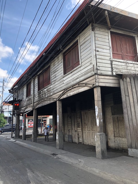 Old building on a corner of a street in Zamboanga showed how buildings in the downtown area were built. The ground floor is likely a shop, store or office while the upper one is likely to be a home. From the photo, it becomes obvious that pedestrians were protected against the elements (sun or rain) for this arcade type of development.
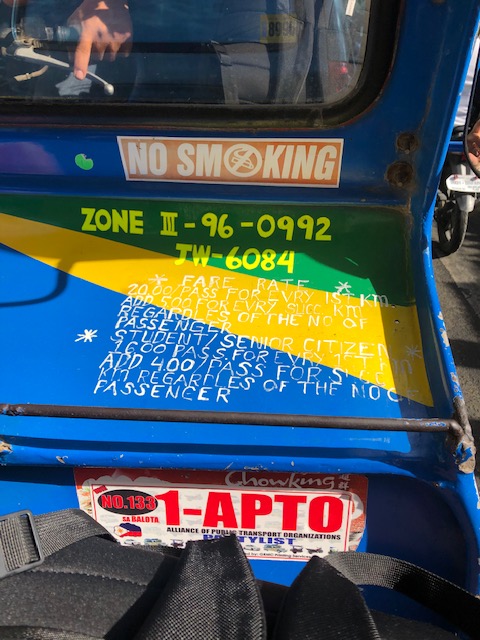 Inside the tricycle, the fare rates are printed on the side car. That includes the discounts that are supposed to be given for senior citizens and students.
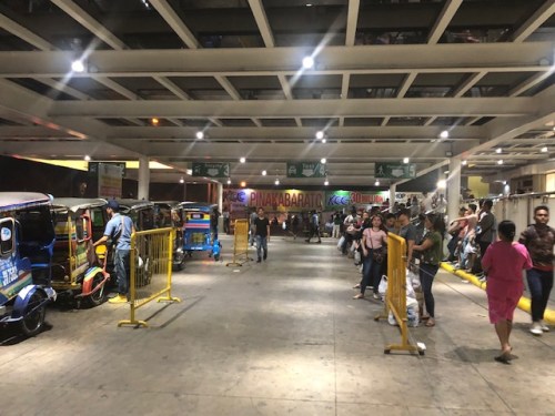 At the transport terminal of a major mall in the city, the lines are long for taxis. However, there are few taxis serving the city and the usual mode of transport that are basically 3-wheeler taxis (the tricycles) wait for passengers.
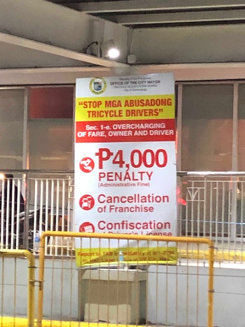 Sign warning against abusive tricycle drivers who overcharge their passengers. There are penalties including a fine of 4,000 pesos (about 80 USD).
I will post more photos of Zamboanga scenes next month when we head to Zamboanga for some field work. That will give me the opportunity to take a lot of photos as we make an initial assessment of road safety around selected schools in the city.
–
Reservoir roads – Part 2
Previously, I posted about the reservoir roads we crossed when we traveled to Baler, Aurora last April 2019. It’s been a while since that post so before I forget, here are more photos of those reservoir roads taken during our return trip from Baler.
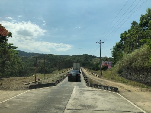 The two lane highway becomes a single lane section at the Diayo River Reservoir road
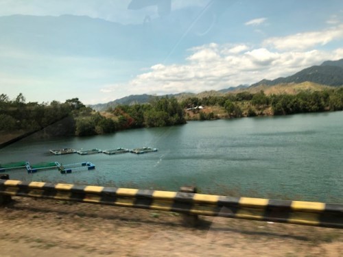 A view of the fish pens at the Diayo River reservoir
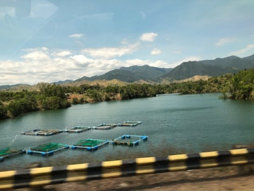 Pristine waters with the Sierra Madre mountain range in the background
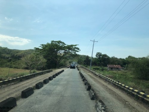 Approaching the end of the Diayo reservoir road
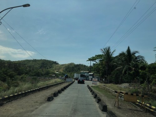 There is a checkpoint at the 2-lane section bridging the Diayo reservoir road with the Canili River reservoir road
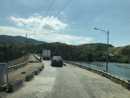 Vehicles entering the Canili reservoir road – this again is a one-lane, one-way section where vehicles from either direction would have to give way to either.
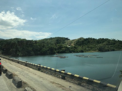 Shoulder and fish pens
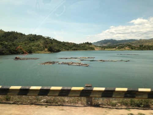 Waters of the Canili River Reservoir with the Sierra Madre mountains in the background
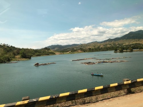 Fishermen on a banca – they looked like they were inspecting their fish pens
–
Alternate route via the Katipunan-Col. Bonny Serrano and C5-FVR Road intersection
I wrote previously about the alternate routes for eastbound vehicles given the ongoing rehabilitation of the Marcos Highway Bridge. In this post, I give some details on one alternative via C-5 and FVR Road (Riverbanks).
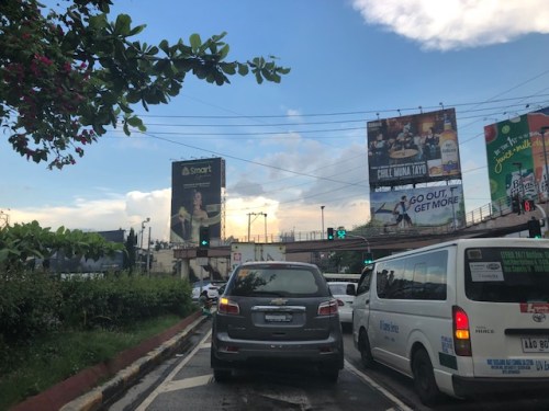 The intersection of Katipunan Ave.-Col. Bonny Serrano Ave. now features a left turn signal for vehicles approaching from Blue Ridge. Previously, this was not allowed and vehicles would have had to go straight or take a right, and then make a U-turn if they wanted to head towards FVR Road. Otherwise, travellers would have to take the tunnel and make the U-turn at Eastwood.
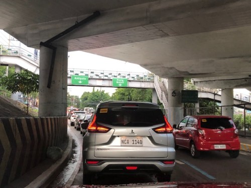 Vehicles queued along the C5 section approaching the intersection with FVR Road. The overpass in the photo is the section transitioning from the tunnel with an off-ramp past FVR Road.
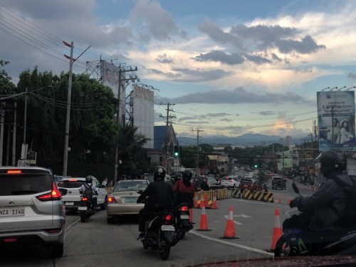 Vehicles approaching the now signalised C5-FVR Road intersection. Previously, too, this intersection did not have traffic signals. Vehicles coming down from Blue Ridge/White Plains could not go through to FVR Road but would have had to travel to the U-turn slot not far from here.
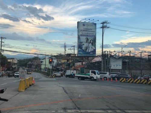 The intersection of C5 and FVR Road – shown are vehicles turning from FVR Road to C5 southbound as well as those turning from C5 northbound to FVR Road.
–
Traffic management schemes for the Marcos Highway bridge rehab
The rehabilitation of the Marcos Highway Bridge in Marikina has necessitated traffic management schemes at the bridge itself and along alternative routes to alleviate congestion in the area. These are collectively called traffic or transport systems management (TSM) schemes with the objective of optimising existing infrastructure and resources without necessarily building something entirely new. These are quite different from travel demand management (TDM) schemes that include number coding and truck ban policies that are already being implemented (though Marikina does not implement the number coding scheme).
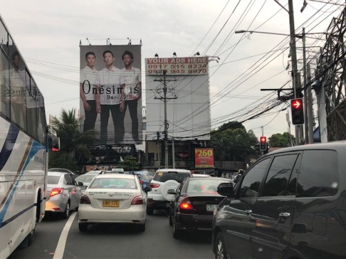 Traffic build-up at the approach to the intersection with FVR Road (To Riverbanks). This is now a signalised intersection as traffic from Blue Ridge/White Plains is now allowed to cross to FVR Road.
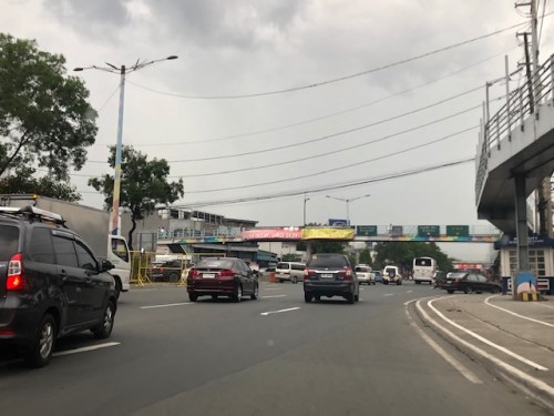 Using the route via FVR Road (Riverbanks) means you don’t have to cross the Marcos Highway Bridge and travellers will merge with those who crossed the bridge just before the Line 2 Santolan Station.
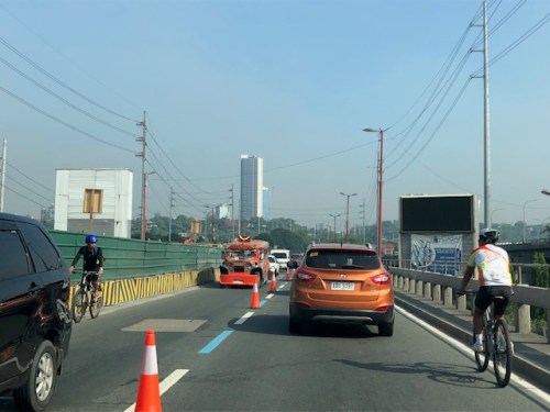 In the mornings, one lane each is allocated for either the eastbound or westbound traffic. That’s practically a total of 3 lanes (+2 lanes westbound for the SM Marikina Bridge) for the westbound direction and a single lane for the eastbound side. This is logical given the directional distribution of traffic at this time of day and the alternative routes already available to travellers.
Here are a few photos taken on a night time drive. Note that this was taken by a passenger. Don’t even try doing this (taking photos) while driving a vehicle, and especially not while on a motorcycle.
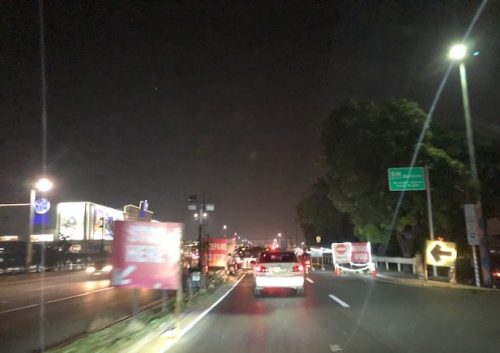 Entrance to the bridge right after Maj. Dizon – this part is not affected by the rehab works but vehicles position themselves to shift towards the left side, which is the usable part of the bridge.
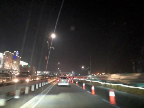 Both lanes of the westbound side of the bridge are used for eastbound traffic. Westbound traffic are all along the SM Marikina bridge for a total of 2 lanes each for either direction of flow. The cones are not removed for practicality since they would have to be installed for the morning when one lane is allocated for the westbound traffic.
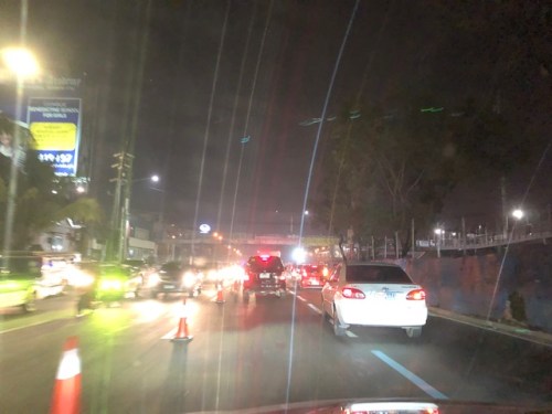 Vehicles shift to the right to return to the correct lanes for eastbound traffic along Marcos Highway at the Santolan area. Note the westbound vehicles shifting towards the underpass and SM Marikina on the left.
–
On the impacts of the closure of the Marcos Highway Bridge
The Marcos Highway Bridge was scheduled for rehabilitation in the next four months starting last week. While it will not be totally closed to traffic, the scheme reducing its capacity will surely lead to congestion along Marcos Highway. This congestion should be expected along other roads as well, as travellers, particularly those taking private transport will be using alternative routes in order to avoid this area. Those coming from the east will likely go through Marikina City via the parallel route comprised of Sumulong Highway and A. Bonifacio Avenue. Others will turn to A. Rodriguez (Ligaya). And perhaps others may go via Ortigas Avenue Extension. These alternative routes correspond to the other bridges crossing the Marikina River connecting the Rizal province and part of Marikina and Pasig to Metro Manila.
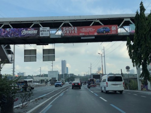 A photo of the bridge prior to its partial closure
I will write more on this topic once I get more information on what’s happening to the traffic in the area. Meanwhile, I do know that my usual alternative route via Marikina and Tumana seems to have more than the usual traffic during my commute. While it is easy to attribute this to the partial closure of the Marcos Highway bridge, this could also be just a normal variation in the typical daily traffic for that route.
–
Back in Zamboanga – arrival
I was back in Zamboanga last week for a short workshop. We were supposed to arrive just before 6AM as we took the first flight from Manila. Our flight was delayed, however, and we arrived around 7:30AM instead. I will write about this in another post. Meanwhile, here are some photos upon our arrival in Zamboanga International Airport.
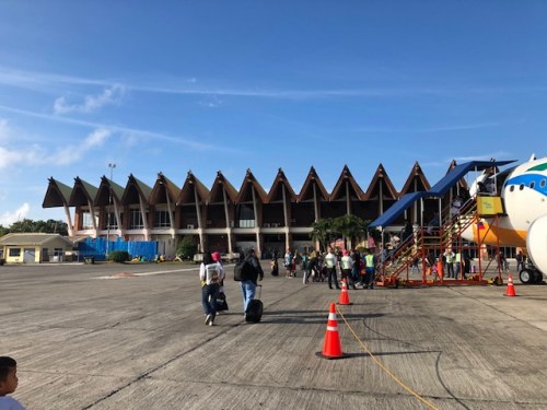 We deplaned from the rear door of the aircraft and that afforded me this shot of the plane and the terminal.
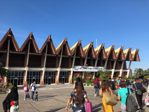 I admire the architecture of the airport terminal. It is an example of architecture appropriate for the city/locale with its rich cultural heritage.
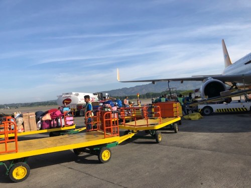 Luggage of arriving passengers are unloaded from the aircraft while a tanker refuels the plane. You can see the fuel hose attached to the wing of the aircraft.
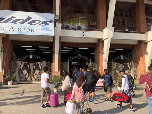 Passengers enter the arrival area of the terminal
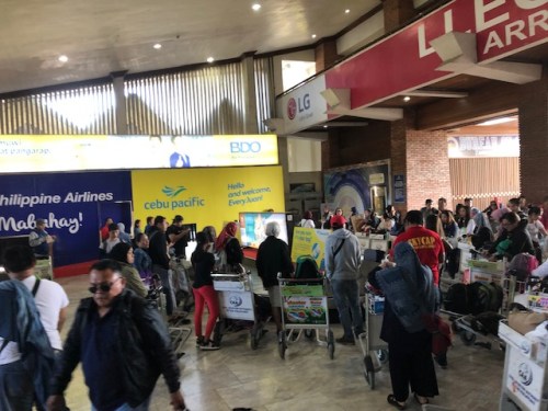 Passengers and stevedores crowd around the single baggage conveyor at the claim area.
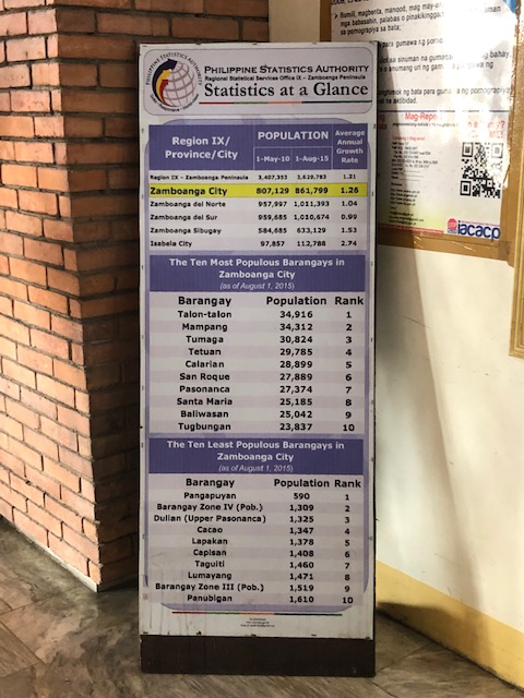 We found this interesting tarp as we exited the airport terminal showing some statistics on Zamboanga’s population.
–
Cauayan Airport departure
Here are photos I took of the Cauayan City Airport upon our departure from the city. This is the sequel to the previous post of photos when we arrived there during a trip earlier this month.
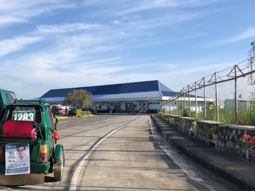 View of the airport terminal as we approach it on board tricycles
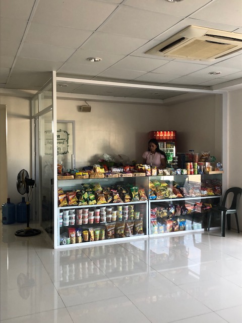 Here’s the only concessionaire inside the terminal and practically just beside the check-in counters. Sorry, no last minute shopping for souvenirs or pasalubong here.
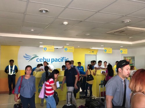 Cebu Pacific’s check-in counters
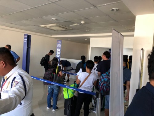 Philippine Airlines’ check-in counters near the terminal entrance security check – obviously, it’s very crowded in this area
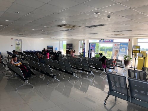 Pre-departure lounge area near the designated PAL gate
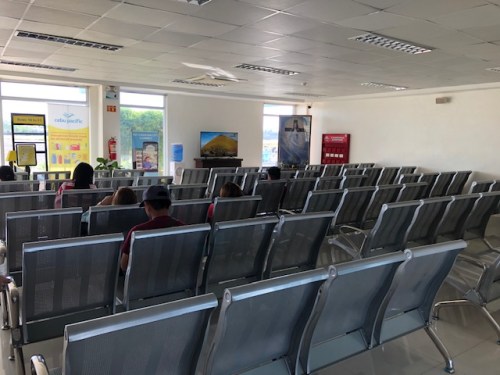 Pre-departure lounge area near the designated CebPac gate
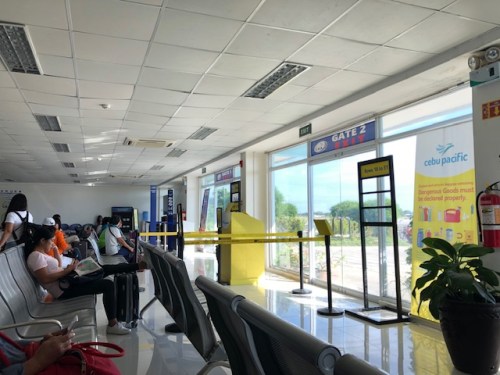 Another view of the pre-departure lounge
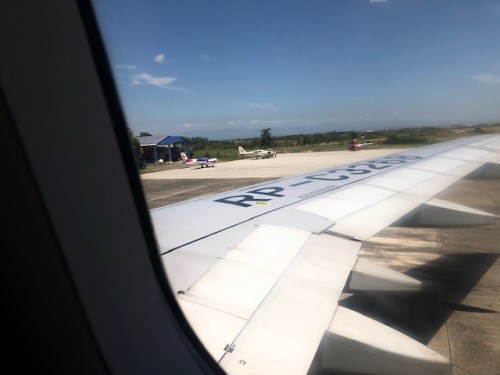 Private planes sitting on the tarmac – there are many farms in Isabela that are operated like companies. Many produce rice. And many are owned by corporations whose owners/execs regularly fly in via their own or chartered aircraft.
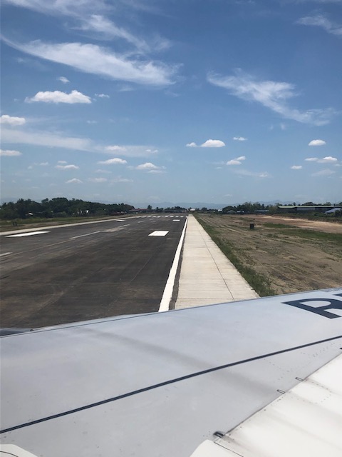 Our plane taxiing towards the runway
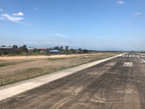 A view of the runway as we turned in preparation for the take-off
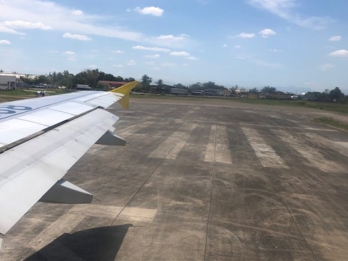 A view of the end of the runway as our plane turned
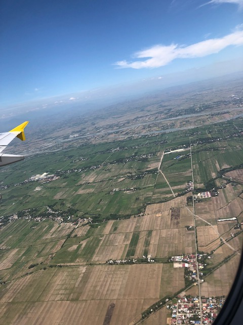 Aerial (bird’s eye view?) photo taken just after take-off showing the farms in the area
I will be sharing more aerial photos soon including some snaps of the Magat Dam, which was the major hydro infrastructure in the area.
–
Scenic route along my commute
My regular commute between my home and my workplace typically has 5 alternative routes with three taking me to Sumulong Highway. While night-time travels aren’t at all noteworthy, daytime travel especially from home to office provides for some nice views of the city. Along the highway, though, there are also some nice sceneries especially this time of year when the fire trees are in full bloom. Here’s a photo along Sumulong Highway showing some of the fire trees along its stretch.
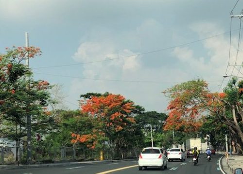
You don’t get these views when you are along Marcos Highway, Ortigas Avenue, C-5 or Felix Avenue.
–
Summer traffic
The summer break for most students meant less traffic along many major roads around the country. That means improved travel times in many cases and during periods when one usually expects congestion particularly for streets that are the main access roads to and from schools. Among the streets affected by the summer break that means less vehicles are major thoroughfares like C-5, Shaw Boulevard, Aurora Boulevard and Espana Boulevard, which are the main access roads to many schools.
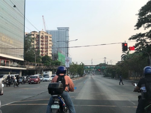 Katipunan Avenue (C-5) near Ateneo Gate 3 during what is usually the morning peak for the area. Obviously, much of the traffic generated by the schools in the area
The new school year, however, is just around the corner; with public schools resuming classes from June 3. In my case, I get to enjoy a bit more of less congested roads along my regular commute since Ateneo, Miriam and UP will be having the mid-year break for their college students from June to July. This is due to the adjusted academic calendars of these universities and college.
–
Cauayan Airport arrival
I have so far never failed to take photos of the airports I have gone through in my travels here or abroad. The following photos are of Cauayan Airport in Cauayan City, Province of Isabela in the Cagayan Valley Region (Region 2) to the north-northeast of Metro Manila.
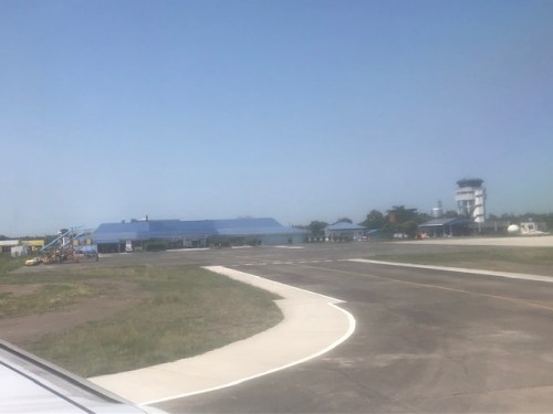 Taxiing towards the apron and the terminal. One can also see the control tower to the right.
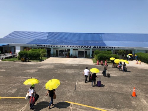 Passengers walk to the terminal with each given an umbrella to shield themselves (partially) from the punishing heat of the sun. Isabela is one of those provinces where the heat indices reach well above 45 degrees C.
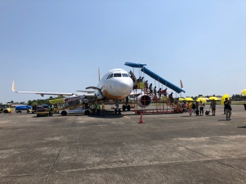 A look back to the aircraft and passengers deplaning to head to the terminal.
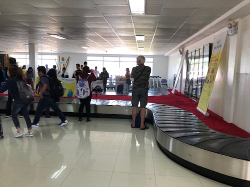 The baggage claim area had a single conveyor belt
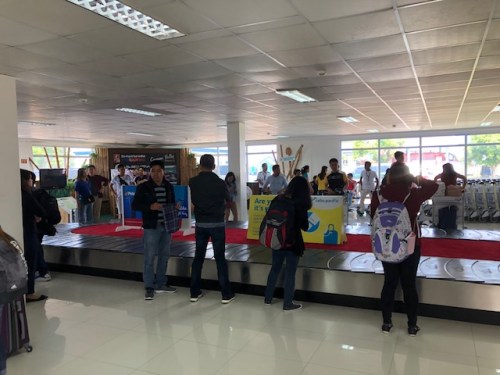 Passengers gathering around the belt to claim their checked-in luggage.
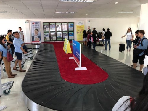 Another view of the conveyor
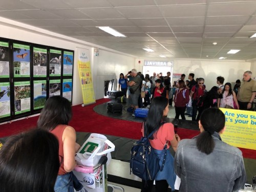 Luggage start to come out as most passengers are gathered around the conveyor.
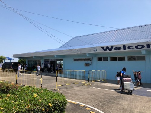 A look back at the arrival exit of the Cauayan airport terminal
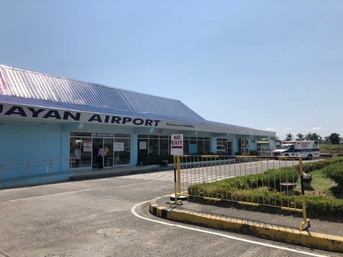 A quick look and photo of the airport entrance for departing passengers.
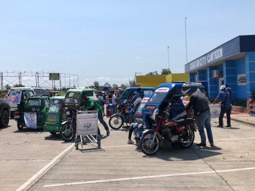 There are no taxis in Cauayan so its either you book a van or take the local ‘taxi’ in the form of tricycles. Most of these are motorcycles with sidecars but there are also many new tuktuk types, which are more spacious and comfortable to ride.
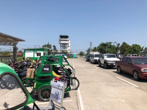 Tricycles, motorcycles and private vehicles parked at the airport. That’s the control tower in the background.
More photos of Cauayan Airport as well as aerial shots soon!
–
 Caught (up) in traffic