
Road right-of-way encroachments: Samar
Going around the country for projects, we always take a lot of photos about transportation including roads, bridges and transport modes. Thank goodness for digital cameras and cell phone cameras, and special mention to memory cards that have allowed us to take photos at will often only worrying about battery life. In a previous post, I wrote about encroachments to the RROW and featured some photos from field work we did in Palawan. This time, I was able to find a few choice photos taken from another project we did; this time in the island of Samar in the Eastern Visayas. In the following photos, one will see permanent structures already built along the roads – ones that are usually the most difficult to remove and the residents a challenge to be relocated.
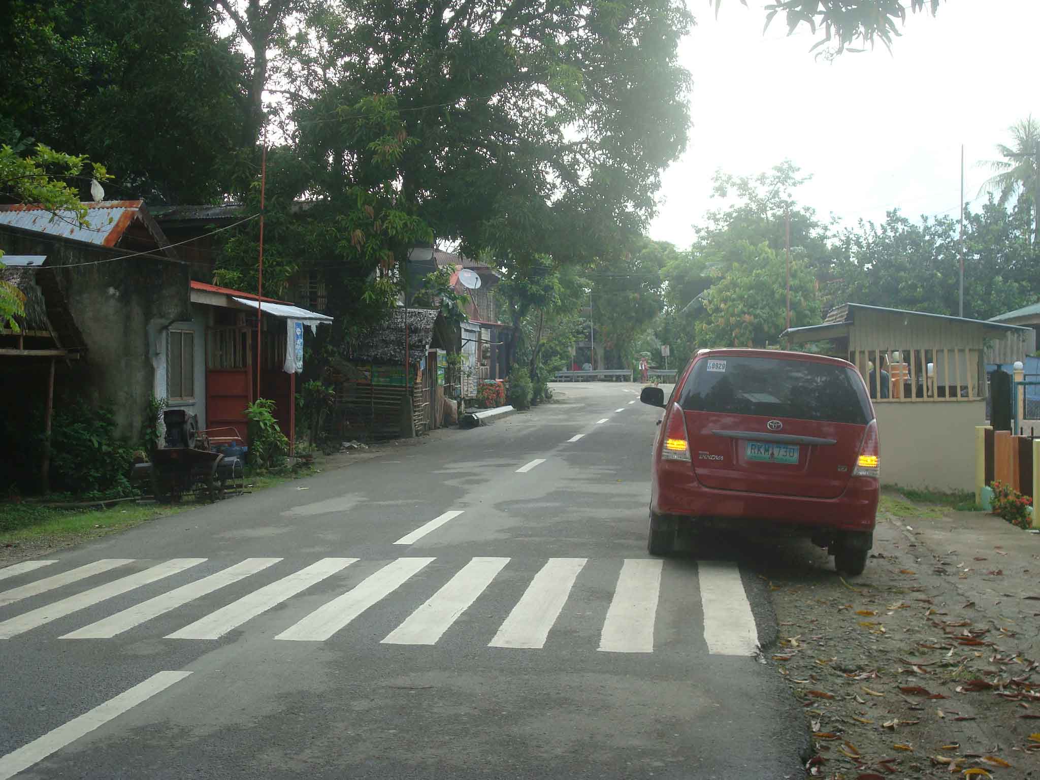 Houses built alongside the highway on what is supposed to be shoulder space. What looks like a booth in from tof the parked vehicle on the right is actually a guard post for the barangay. The barangay hall is located behind the fence visible at the right of the photo.
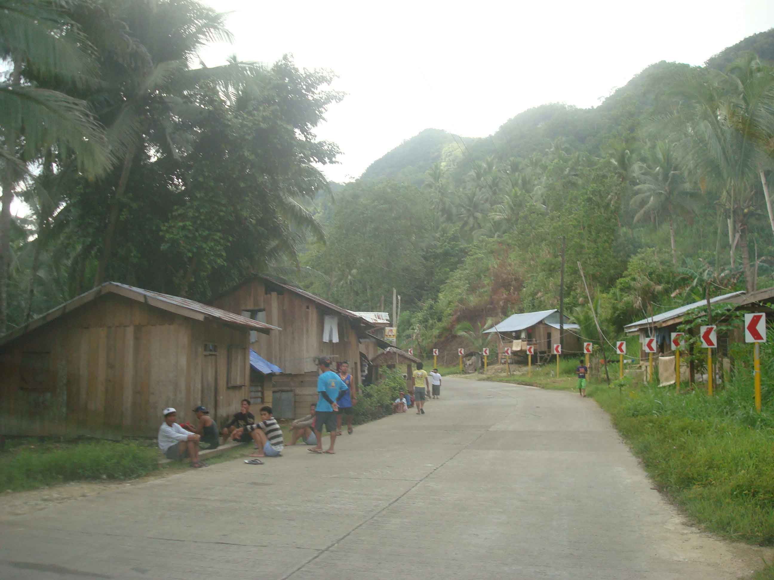 Makeshift houses along the secondary national road also on space usually where the shoulders are. Some houses are located at a hazardous part of the road (i.e., right at the curve and just behind the chevron signs).
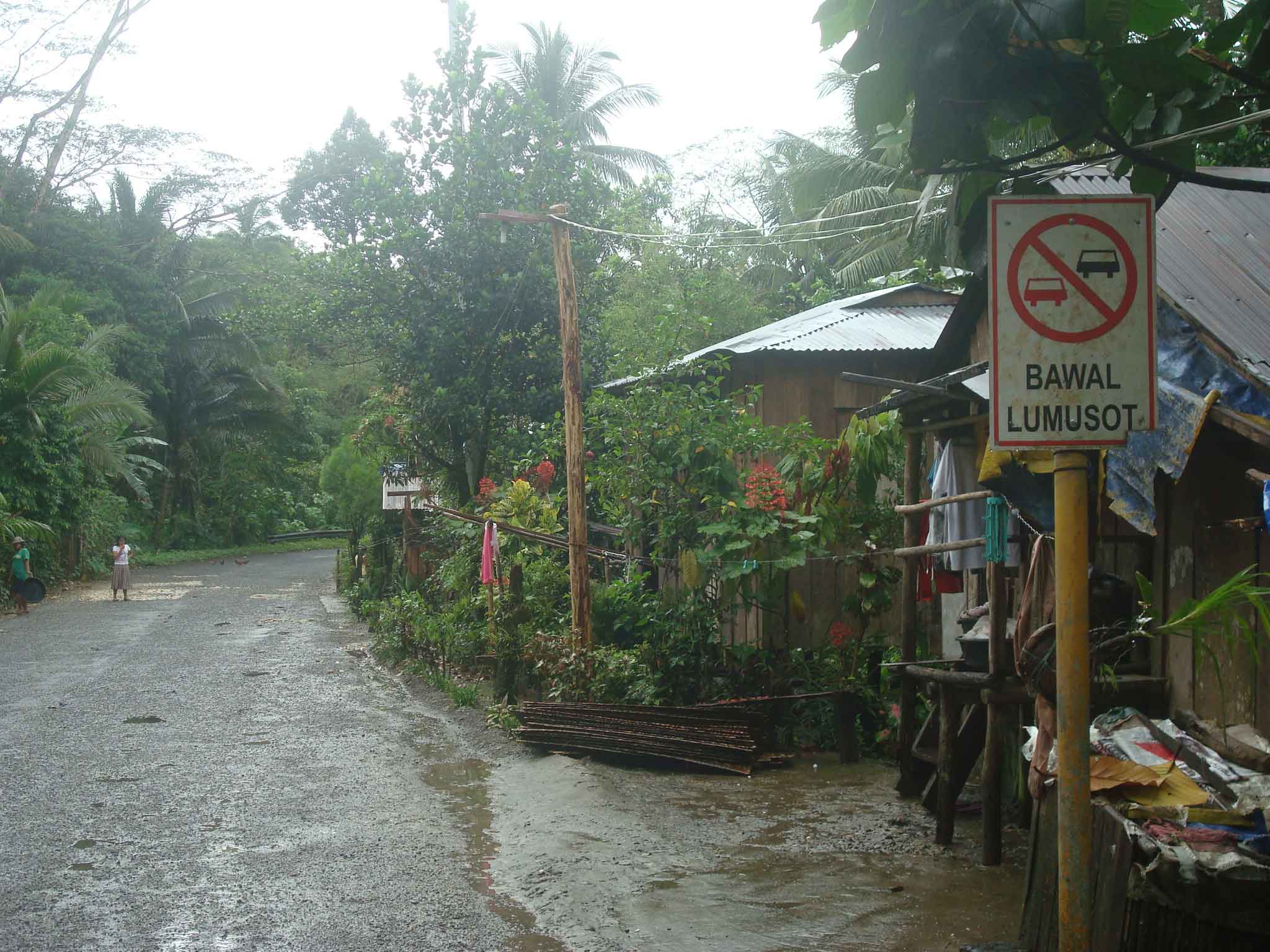 More houses with their fences encroaching on the RROW along a secondary national road in Eastern Samar – the sign on the right, while not exactly obstructed, will blend with the structures and will probably be unseen or unnoticed by motorists.
 Souvenir? – I have seen signs being stolen and displayed in some homes as trophies (actually an illegal act that can get one jailed and fined a hefty sum if caught by authorities). Some souvenirs are harder to take but can be integrated with the house interior or, in this case, as part of a store. Imagine knowing the exact location of a store in the area not through GPS but simply by knowing the exact kilometer post where the store was put up.
There are many other examples of RROW encroachments along other roads. These seem to be common along all types of highways where development along the roads are generally not regulated by local governments but present future problems when space is needed to widen roads to accommodate traffic. Is it an issue of cooperation between the DPWH and the LGUs (including the DILG)? Or is it mainly a local issue that is largely the responsibility of local authorities? Perhaps it is both and something that needs to be addressed to enhance road safety as well as to ensure that future headaches will be avoided when it is time to access the RROW.
–
Road right-of-way encroachments: Palawan
Encroachments to the road right of way (RROW) is quite common along many roads in the Philippines including national roads. While the DPWH has jurisdiction over the latter roads in as far as construction and maintenance is concerned, the agency does not have the resources to secure these roads. Such responsibility lies in the hands of local government units (LGUs), which are tasked to regulate land use at the local level ahead of the Housing and Land Use Regulatory Board (HLURB). Following are a few photos I took in one trip to Palawan where we did a few road safety audits of a national highway.
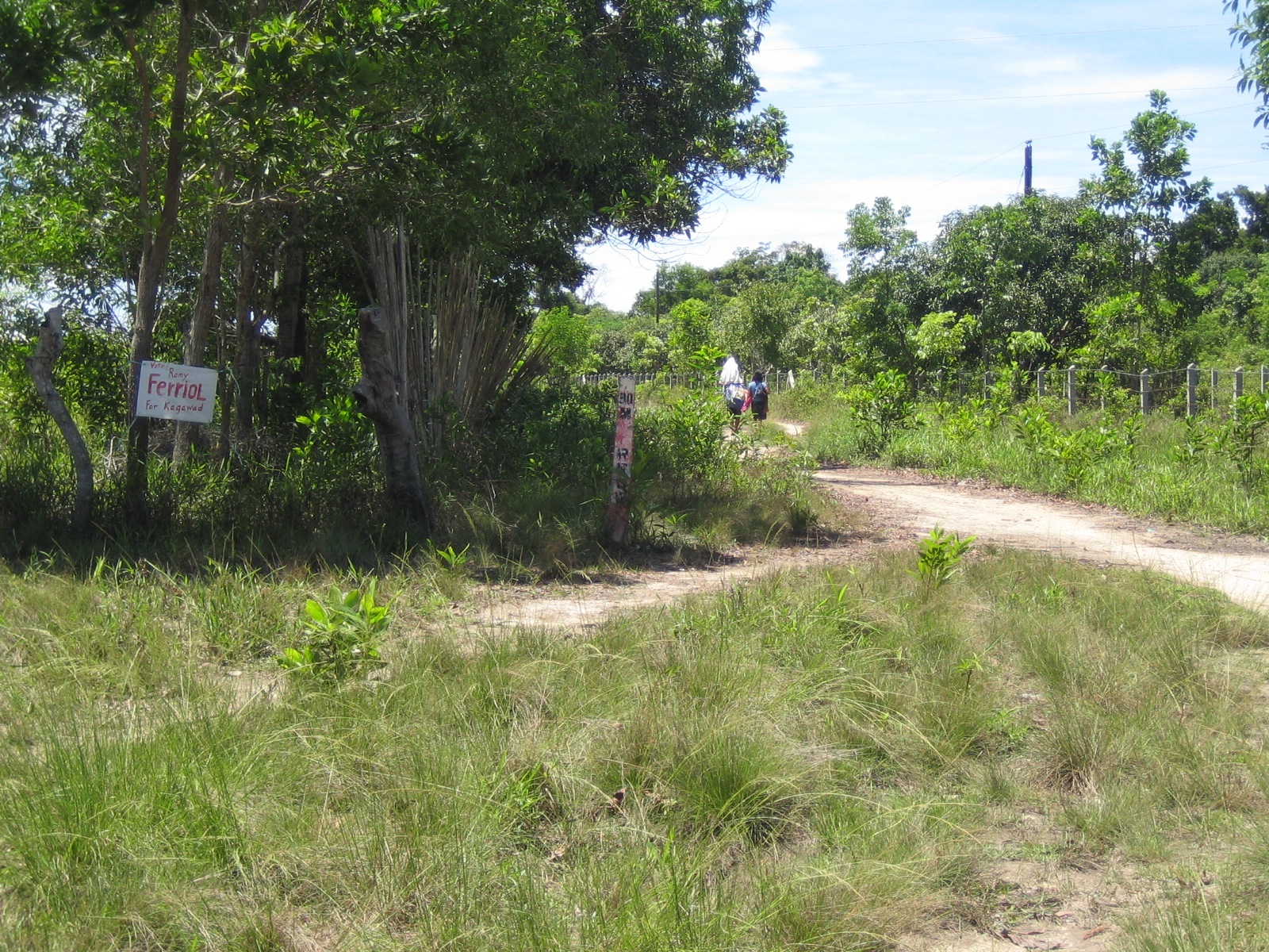 This RROW marker that doubles as a kilometer post along a highway in Palawan is located a few meters from the carriageway. While there are no developments or encroachments along this section, such markers could easily get lost.
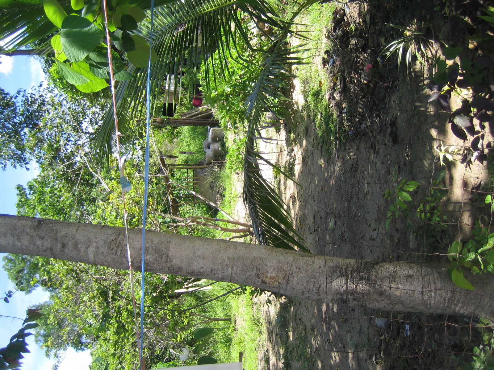 This one’s already behind the fence (and house) of a family encroaching on the RROW. Many of these people establish homes and even informal businesses (vulcanizing shops, makeshift stores, etc.) along the road with LGUs often turning a blind eye and in many cases even allowing people to register the lands as their own when in fact these have been reserved for future expansion of the road.
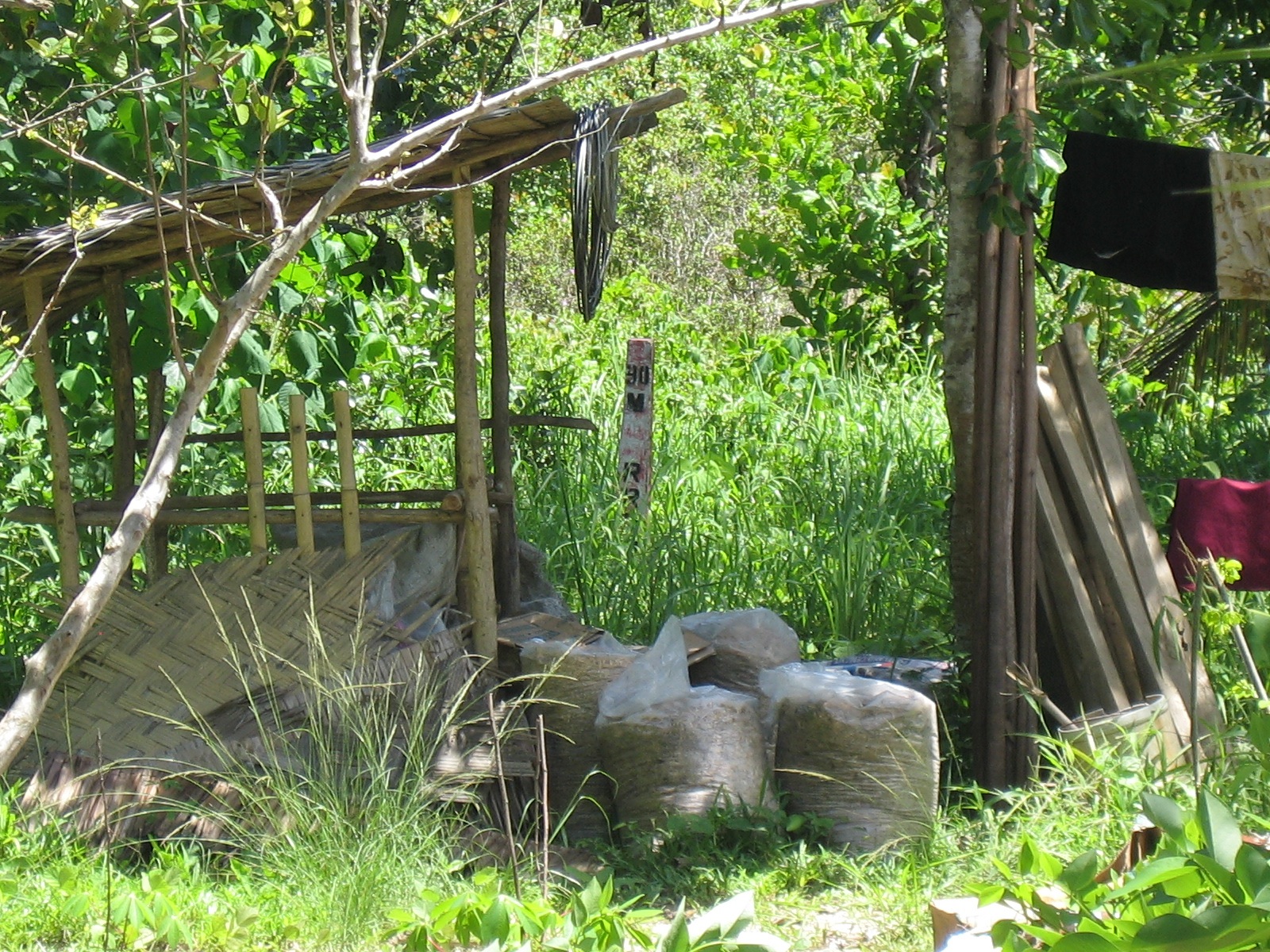 Zooming in on the marker shows it to be behind a storage shed where grain, lumber, bamboo and various other materials are piled up.
For most of these people who have encroached on the RROW, their actions are not illegal given that in many cases, the LGUs let them do so in order to develop areas along the road. The problem comes later when these developments and residents begin constricting traffic along the highways and demanding compensation when they are asked to move out to give way to road widening projects. It seems that the best approach is still for LGUs to do their part in regulating settlements along roads so that most if not all will locate outside the RROW. In other cases where it is obvious that development will come much later, it should be clear to settlers that the property is not theirs and will not be theirs, and that they would have to go sometime in the future when the road needs to be widened. This is not an easy thing for LGUs to accomplish but they should have system in place for this since it will considerably be more difficult later when the roadside has been settled with more permanent structures.
–
School traffic impacts – issues along Ortigas Ave., Part 1
I have written about school traffic generation in this blog and have mentioned about the traffic congestion experiences along major thoroughfares due to the vehicles attracted by private schools. La Salle Greenhills (LSGH) is an exclusive school found along Ortigas Avenue and during the summer months of April and May, people passing through the stretch of the road from EDSA to the Greenhills Shopping Center are relieved that they won’t have to go through traffic jams due to the school-generated traffic. From June to early December and January to March, however, the area is almost always congested in the morning and afternoon. Such congestion is predictable since it occurs during a period when students come to school and when they are dismissed mid-day or in the afternoon.
Heading to a meeting at the DOTC from the University one morning, we decided to take an alternate route. Instead of EDSA or C5, we took East Ave., Tomas Morato Ave., Gilmore Street and then emerged at the westernmost end of Ortigas in San Juan. It was already 9:00 AM when we arrived at the section most affected by the traffic generated by LSGH and so we didn’t to get caught in a jam as we proceeded towards our destination. We were proven right as traffic was almost free-flowing, and I took advantage of the traffic conditions and to take a few photos of the indicators for the potential traffic congestion in the area. The following photos also show a serious parking problem and (sadly) the usurpation of space from pedestrians. For shame!
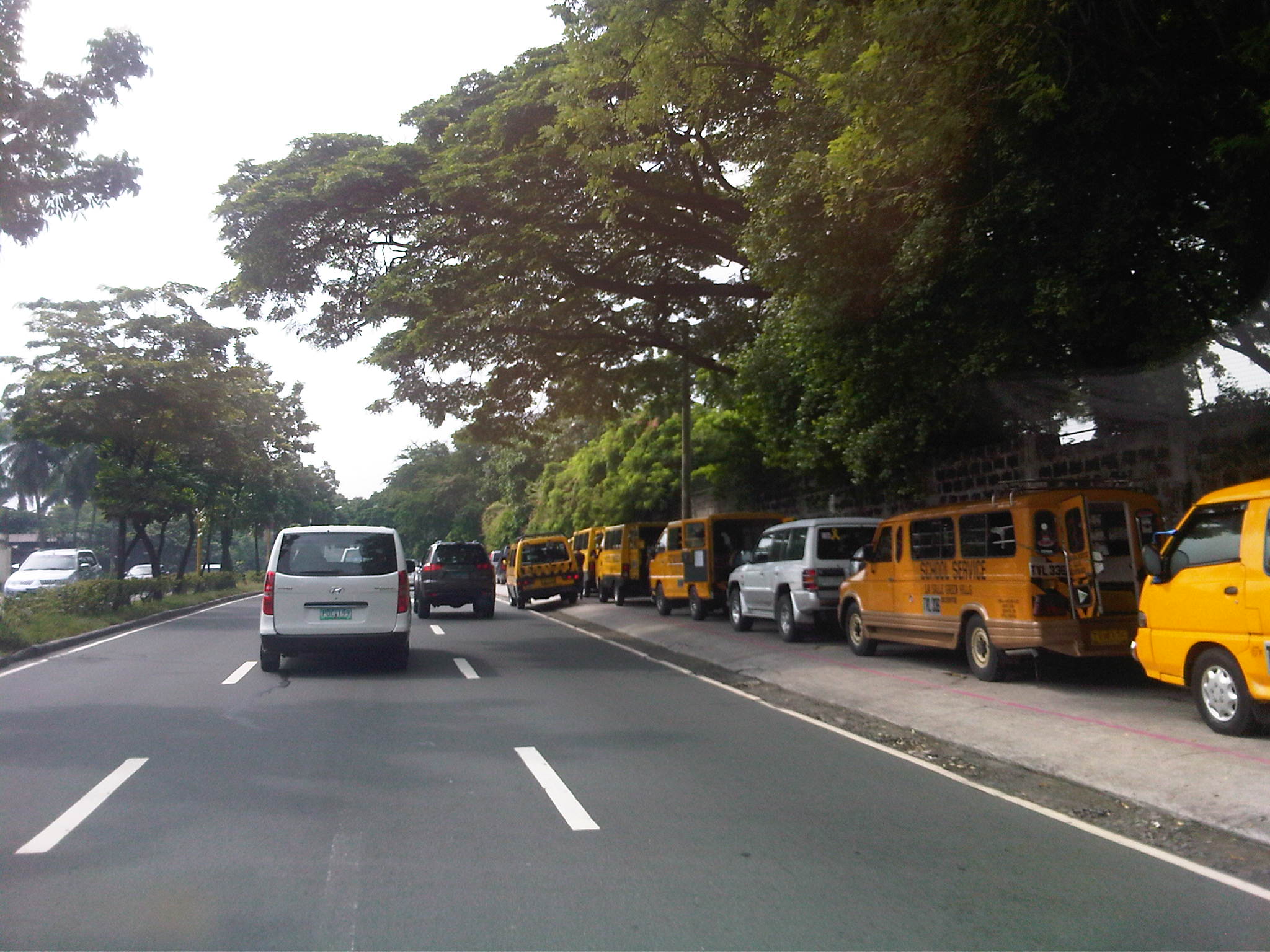 School service vehicles parked along the sidewalk along Ortigas Avenue – beyond the wall on the right is Wack-wack, a high-end residential subdivision named for the sound of golf clubs swinging at its famous course.
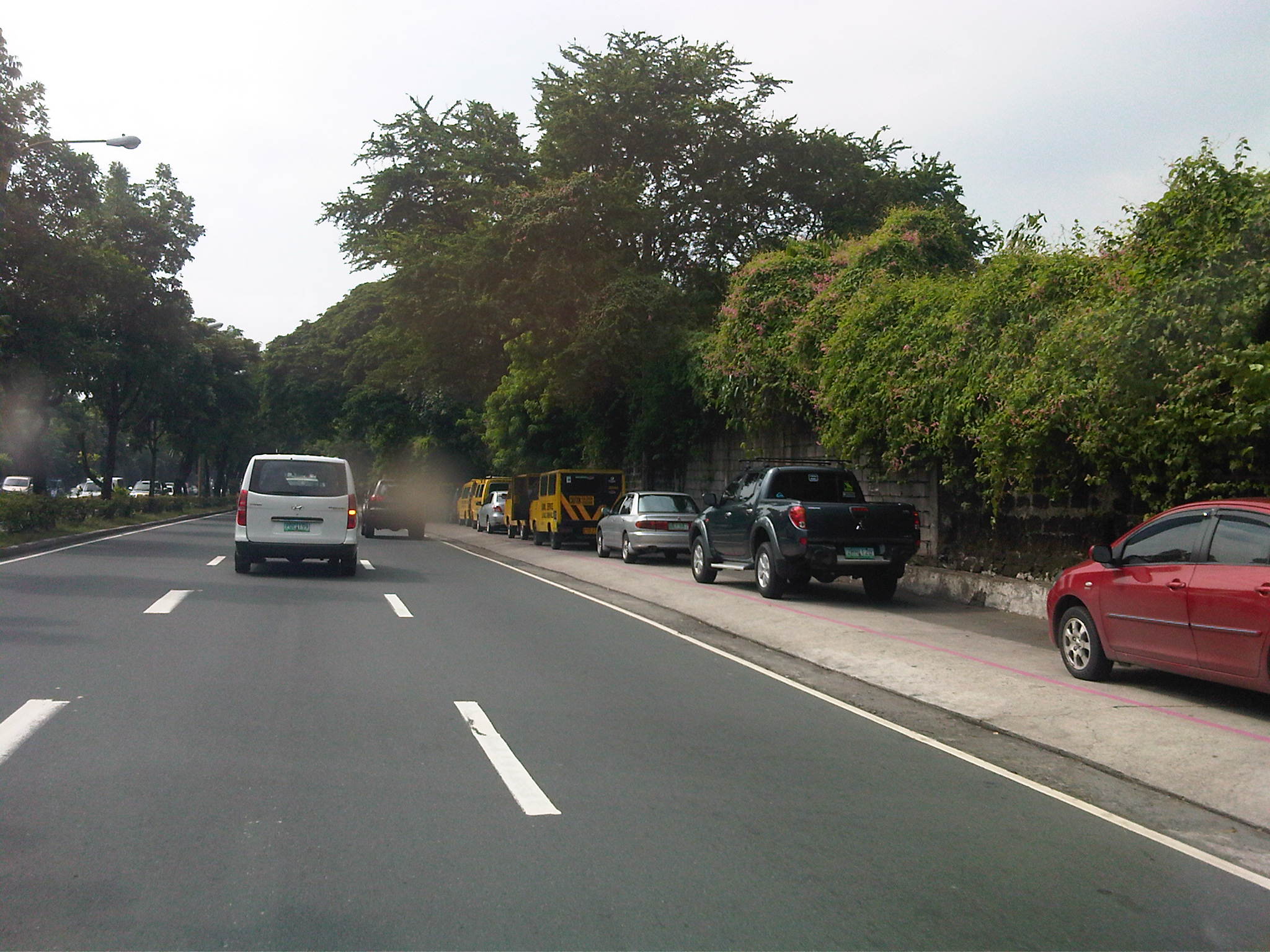 Private vehicles parked along the same sidewalk – noticeable in the photo is the pink line drawn by the MMDA to supposedly demarcate space that should not be obstructed and instead allocated for pedestrian use. It is clear in the photos that pedestrians would have to walk along the edge of the sidewalk or the outer lane of the carriageway itself, increasing the risks for them to get sideswiped by motor vehicles.
 More parked vehicles along Ortigas Avenue, mostly private vehicles that are highly likely owned by those studying at LSGH.
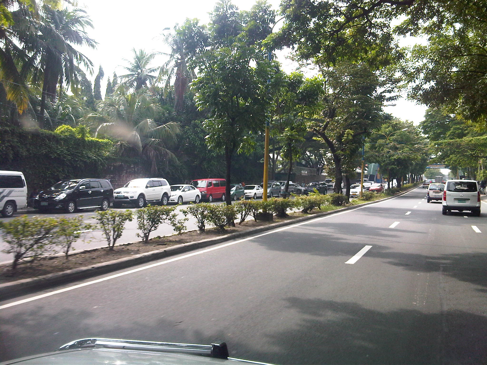 It’s actually worse on the other side of Ortigas Ave. as vehicles occupy a lane of the carriageway, effectively reducing capacity along this stretch of the road.
 It seems the main purpose of the pedestrian overpass is to allow students to safely cross the street to get from and to their vehicles. I can only imagine the congestion caused by drop-offs and pick-ups along Ortigas Ave., which for certain times of the day functions as a driveway for the school.
–
Sales Bridge repairs completed
The repairs to Sales Bridge, which connects the Fort Bonifacio area to Villamor and the NAIA terminal complex, has been completed and all lanes along the bridge are now passable. The bridge has been a bottleneck for some weeks as repair works have led to serious traffic congestion in the area, particularly along Sales Road that’s among the main access roads to NAIA, particularly Terminal 3, which is at the end of the road and along Andrews Avenue. From another perspective, the bridge is also a main access route to Fort Bonifacio (and Bonifacio Global City) and Makati (via Pasong Tamo Extension) via Lawton Avenue, of which the bridge is a part of. I took a couple of photos while en route to T3 clearly showing all lanes open to traffic.
 Under the Skyway, traffic flows smoothly on either side of the bridge. When the bridge was being repaired, only 3 lanes were available to traffic – one westbound and two eastbound.
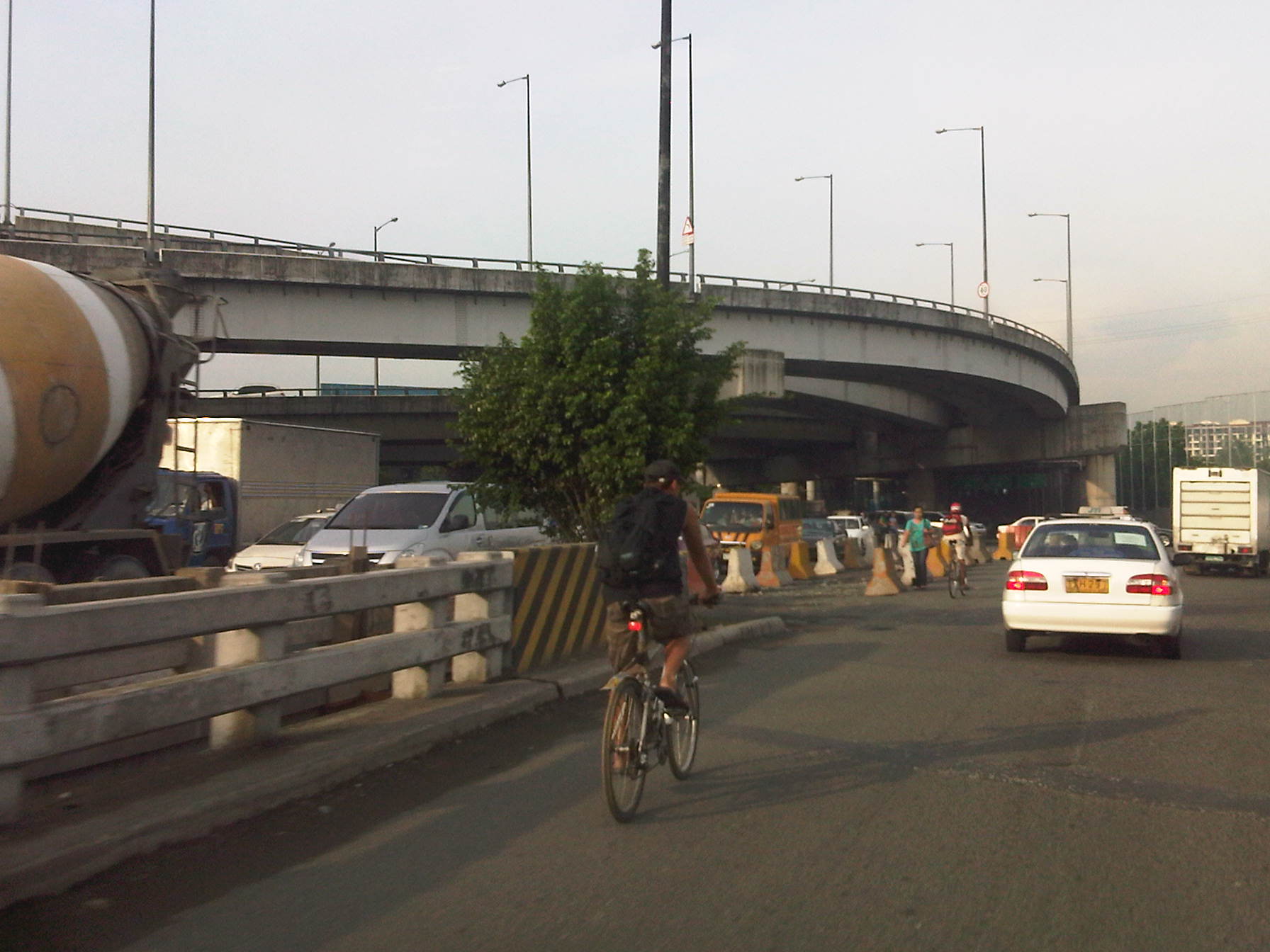 Mixed traffic along the Sales Bridge includes trucks and bicycles. Further downstream is a roundabout at the intersection of Sales Road and the West Service Road along the South Luzon Expressway. Also, shown in the photo is the Skyway ramp connecting the tollway to the Villamor and the NAIA terminal complex.
–
NAIA Terminal 3 multi-level parking building
I finally had the opportunity to take some quick photos as we drove through the departure level of NAIA’s Terminal 3. The objective was to take a few photos of the still closed multi-level parking facility adjacent to the terminal building, which could be accessed both from the ground and upper level driveways. It was late afternoon and it looked like it was going to rain so the photos were not as good as I would have liked them to be. Still, they clearly show the unused parking facility of T3 that could have been quite helpful to a lot of travelers especially those who wanted to leave their vehicles at the airport a few days or nights for short trips.
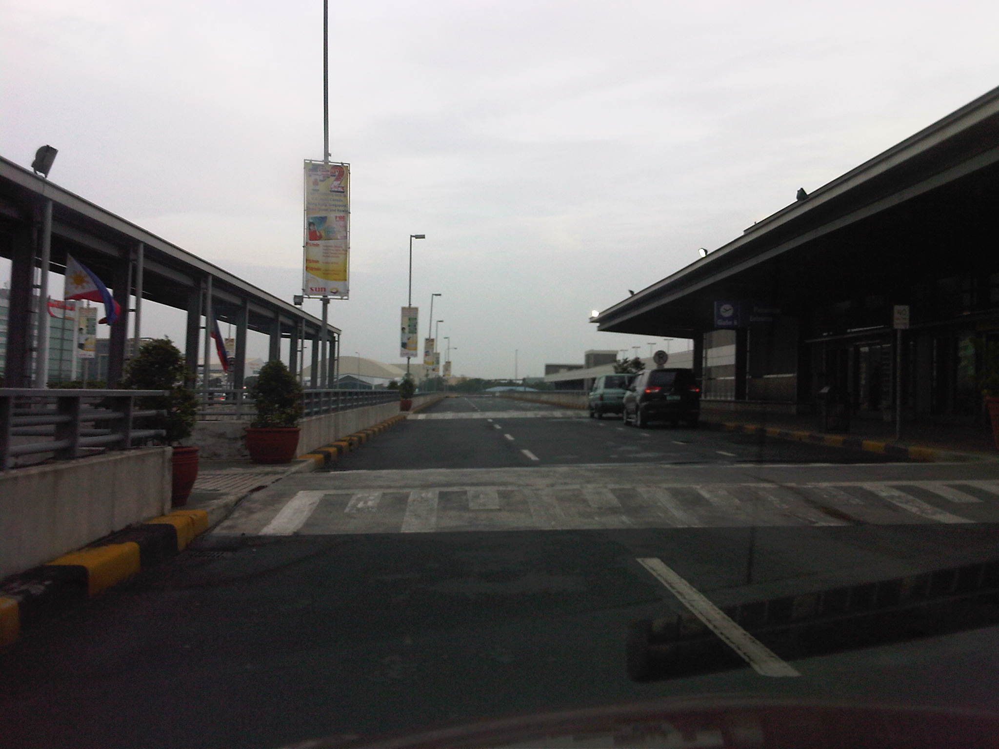 Driveway along the departure level of NAIA Terminal 3
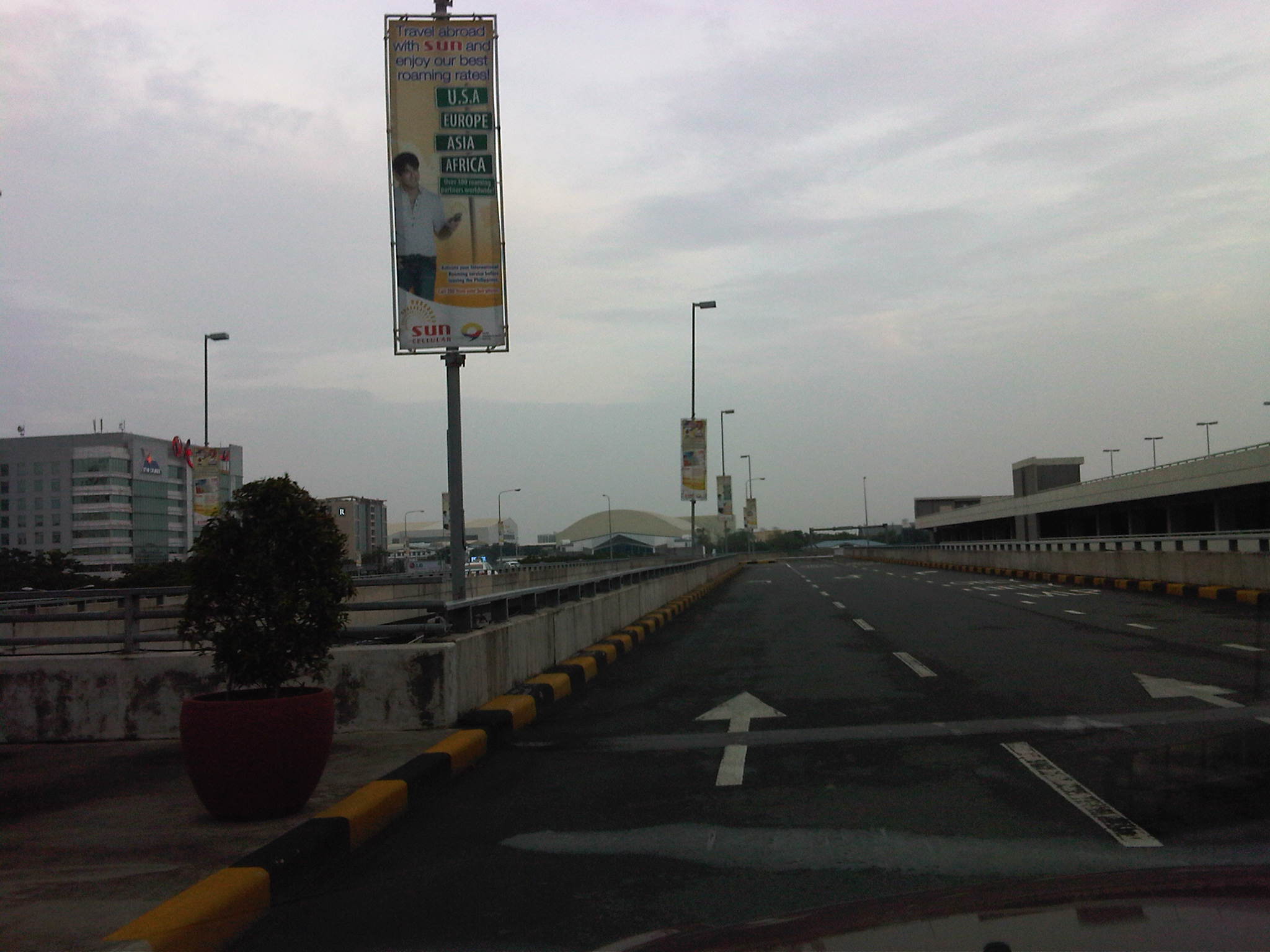 Motor vehicle exit ramp from the departure level – the parking building is seen on the right
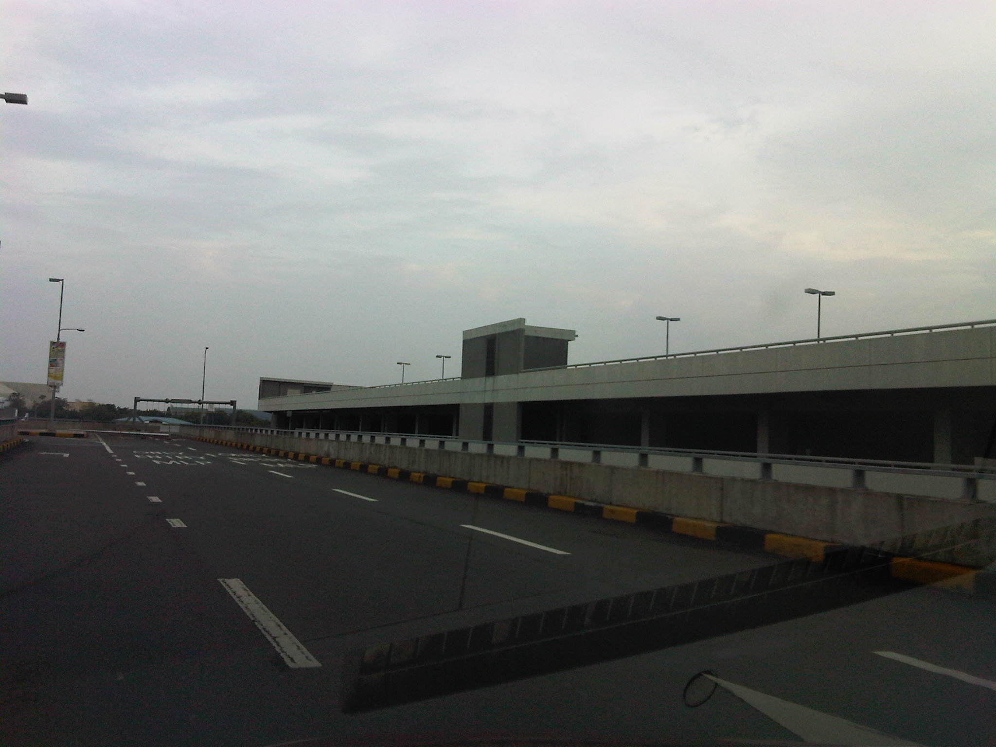 The parking building is seen immediately after the passenger terminal gates for departures
 After unloading passengers and well-wishers, drivers could have proceeded to the parking building via the ramp from the second level driveway (shown at the right in the photo).
 Ramp to Andrews Avenue – the Newport City development that contains several hotels including a Marriott Hotel and Resorts World Manila is located in the complex.
–
Transportation-related lectures at the UP College of Engineering 2012 Professorial Chair Colloquium
The College of Engineering of the University of the Philippines Diliman will be holding its Professorial Chair Colloquium for 2012 on July 30, 2012 at the Melchor Hall and the UP Alumni Engineers Centennial Hall at the UP Diliman campus. Among the topics under many disciplines of engineering are several lectures on transportation. These are the following and mainly under three departments of the college.
Institute of Civil Engineering [P & G Room, Melchor Hall]
- “Investigation of Road Crash Causes in Metro Manila,” Dr. Hilario Sean O. Palmiano, DMCI Developers Professorial Chair [8:30 – 8:50 am]
- “Design of Traffic Signal Timing and Traffic Impacts of the Re-introduction of Traffic Signal Control at the Intersection of the University Avenue and Commonwealth Avenue,” Dr. Karl B.N. Vergel, Maynilad Professorial Chair [8:50 – 9:10 am]
- “Microscopic Simulation: A Tool for Evaluation of Traffic Schemes,” Dr. Ricardo G. Sigua, Prof. Emeritus Norbert S. Vila Professorial Chair [9:10 – 9:30 am]
- “Revisiting the Costs of Traffic Congestion in Metro Manila and Their Implications,” Dr. Jose Regin F. Regidor, Pozzolanic Philippines, Inc. Professorial Chair [9:30 – 9:50 am]
Department of Mechanical Engineering [Maynilad Room, Melchor Hall]
- “Performance And Emission Characteristics of a Direct Injection Diesel Vehicle with Different Blends of CME Biodiesel,” Dr. Edwin N. Quiros, Emerson Professorial Chair in Mechanical Engineering [9:30- 9:50 am]
- “Design and Local Fabrication of an Energy- Efficient Electric Vehicle,” Asst. Prof. Joseph Gerard T. Reyes, Emerson Professorial Chair in Engineering [10:30 – 10:50 am]
Department of Chemical Engineering [Maynilad Room, Melchor Hall]
- “Co-Production of Alternative Fuels for the Philippines,” Dr. Rizalinda L. De Leon, Semirara Professorial Chair in Engineering [10:50 – 11:10 am]
The lectures are all open to the public and will be held from 8:30 AM to 12:30 PM. There are 8 lecture groups that are assigned to 8 venues at Melchor Hall and UPAE Centennial Hall. Melchor Hall is located at the university core along the Academic Oval while the UPAE Hall is located along Velasquez Street beside the EEE Institute Building and across from the National Institute of Geological Sciences (NIGS).
–
The Transport Training Center
Today marks the 36th anniversary of the founding of an institution that since 1976 has been dedicated towards providing capacity on transportation engineering and planning mainly for the government of the Philippines. The National Center for Transportation Studies (NCTS) of the University of the Philippines was founded as the Transport Training Center (TTC) in July 12, 1976 by virtue of Letter of Instructions No. 428 by then Pres. Ferdinand E. Marcos. The center was established at the UP Diliman campus with assistance from the Government of Japan through the Japan International Cooperation Agency (JICA).
LETTER OF INSTRUCTIONS NO. 428
TO : The Secretary of Public Highways
The President, University of the Philippines System
The Director-General, National Economic and
Development Authority
The Secretary of Public Works,
Transportation and Communications
The Commander, Constabulary Highway Patrol Group
WHEREAS, the present accelerated development program of the country coupled with rapid urbanization growth due to migration and population increase, has further aggravated the already complex traffic problems;
WHEREAS, there is an urgent need for trained personnel with adequate background and skill in transport planning, more specifically in the fields of traffic engineering and management;
WHEREAS, such need cannot be fully met by limited programs for technical training here and abroad;
WHEREAS, a Transport Training Center geared to provide intensive and practical training in the fields of traffic engineering, planning and management can provide the means for upgrading the capability and potential of a significant number of personnel in government agencies concerned with transportation; and
WHEREAS, the Japan International Cooperation Agency (JICA) has offered to donate equipment needed for such training and to provide, for a period of three (3) years, several experts who shall, together with local Instructors, conduct the training course;
NOW, THEREFORE, I, FERDINAND E. MARCOS, President of the Philippines, in order to establish an efficient transport system that will provide a fast, safe and convenient movement of people and goods on all streets and highways do hereby direct:
1. The Secretary of the Department of Public Highways and the President of the University of the Philippines System to jointly establish, manage and operate a Transport Training Center within the campus of the University of the Philippines System;
2. The Secretary of the Department of Public Highways to include in its budget the yearly operational expenses of the Transport Training Center, starting from Calendar Year 1976, and for the succeeding years;
3. The Secretary of the Department of Public Works, Transportation and Communications to include in its budget (C.Y. 1976) an amount to cover the construction of the Transport Training Center building at UP;
4. The Director-General of the National Economic and Development Authority to create a Steering Committee to be chaired by the representative from the Department of Public Highways, being the lead agency, and to draw one member each from all the concerned agencies. This Committee shall promulgate rules and regulations as guide to management, and such other policies deemed necessary for the effective and successful operation of the Training Center;
5. That all agencies concerned shall assist in every way possible, and to closely coordinate and take such measures as may be necessary or appropriate to carry out the purpose and intent of these instructions.
Done in the City of Manila, this 12th day of July, in the year of Our Lord, nineteen hundred and seventy-six.
Another look at Davao’s Francisco Bangoy International Airport
I featured Davao in a previous post and just had to feature it again after being able to get a few decent photos of the arrival areas, passengers’ lounge and the terminal itself. The photos will also show that the airport is well maintained considering not much has changed since the last time I was there for a few days in 2009. I was actually in Davao in 2010 but it was a very quick visit as I was en route to Manila from General Santos City and had traveled more than 2 hours by land to make the last flight out of the city.
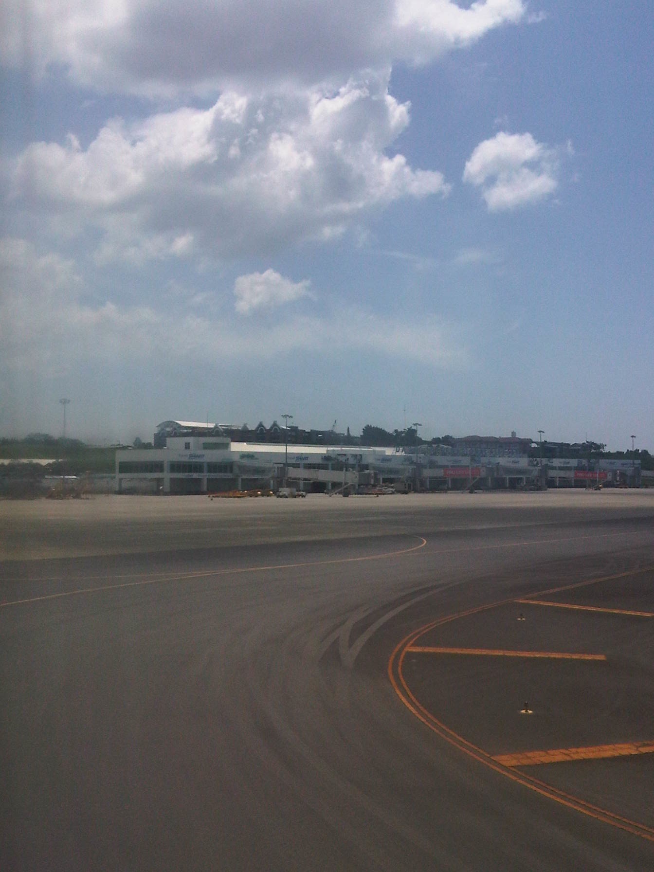 Airport terminal as seen from a plane taxiing from the runway
 Tarmac area at Davao Airport
 Waiting for the plane to unload the pallets containing passengers’ baggage and other freight
 Baggage claim area at the domestic wing
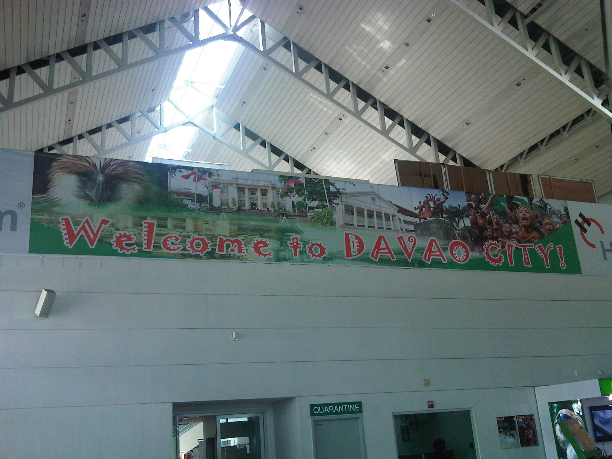 Tarpaulin welcoming visitors and returning residents to Davao City
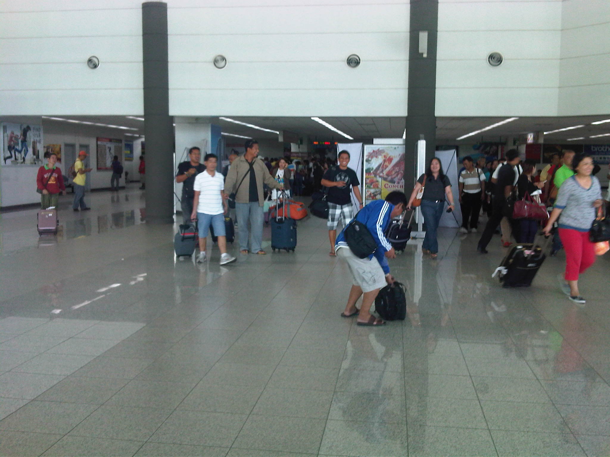 Passengers streaming from the baggage claim towards the exit from the arrival area
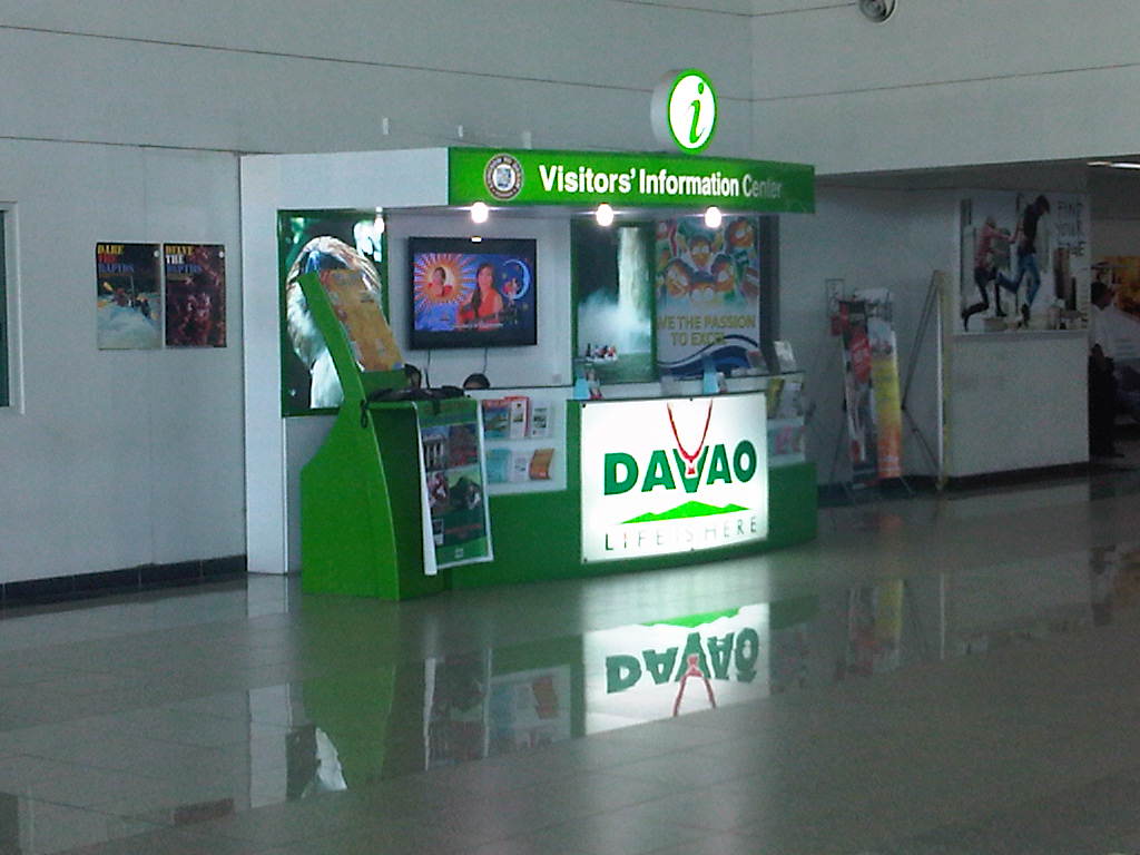 Information booth – they have good materials for first-timers
 Airport terminal as seen from the road leading to the national highway
 It was a pleasant surprise to see self-service check-in machines at the Davao airport. I haven’t seen these at NAIA Terminal 3 as well as at the Iloilo and Bacolod-Silay airports. While I usually check-in online when I’m flying Cebu Pacific, this can be a good alternative for passengers traveling light and have no luggage to check-in.
 Another look at Davao’s spacious terminal – the only glitch seems to be the descending escalator not functioning at the time we were there.
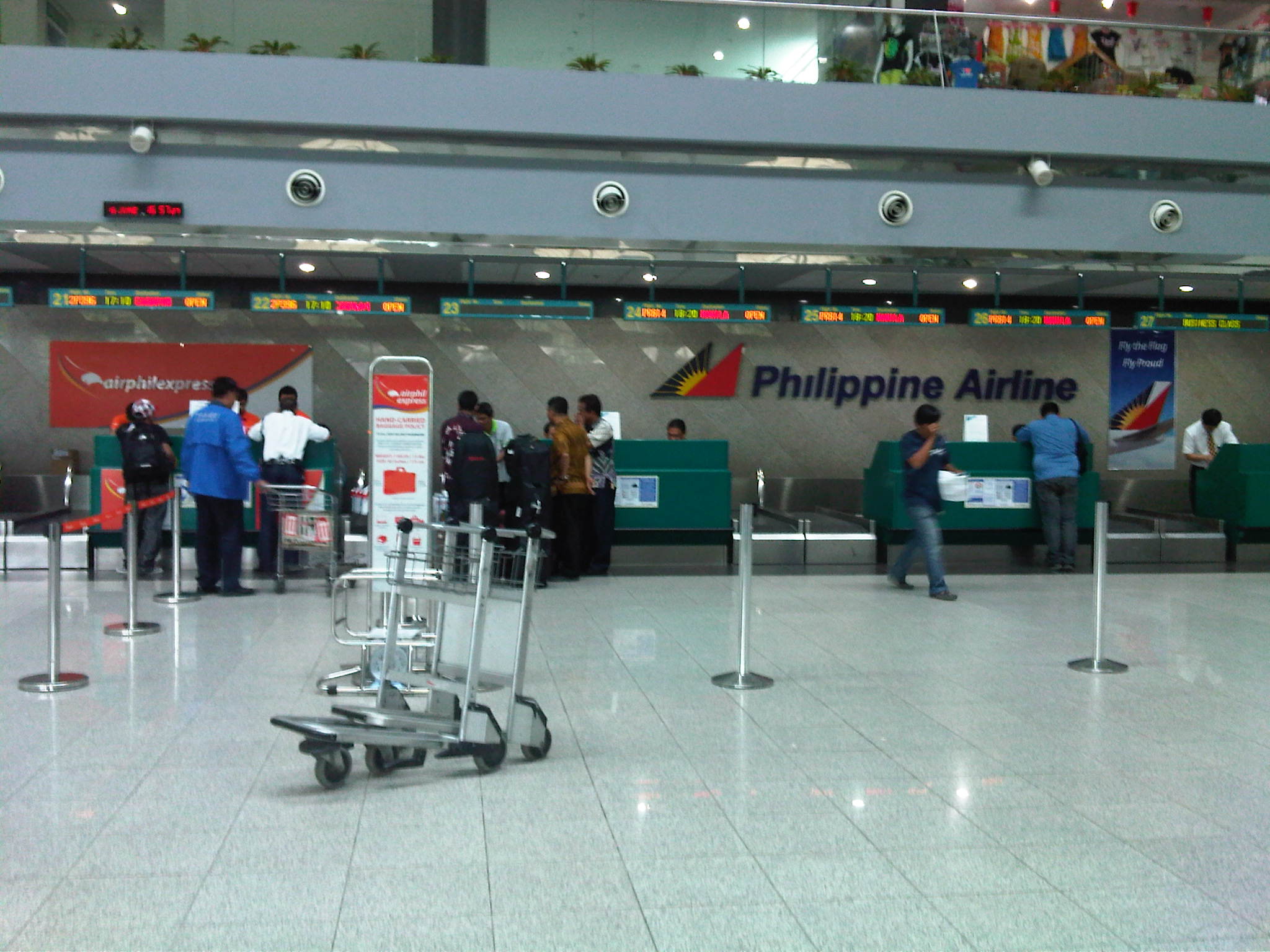 Check-in counters for domestic airline passengers – though spacious, it could get quite crowded not just because of the number of passengers but also because of their luggage and souvenirs. Davao is well-known for its fruits so it is not uncommon for passengers having one or more boxes of pomelo or perhaps durian, which have to be checked-in as the latter is not allowed in the aircraft cabin due to its smell.
 Corridor from the final security check prior to the departure gates
 Along the corridors are a few benches and some small shops as well as the lounges for business and first class passengers, and VIPs.
 The pre-departure lounge of the airport is expansive – appropriate for the number of passengers usually served by the terminal
 Another look at the pre-departure area, which looked crowded because people tended to be seated closer to their departure gates. Our flight would be on board a B747 so there were really a lot of passengers. Still, there were many seats available at the lounge.
 That’s our gate in the middle of the photo.
I think Francisco Bangoy is one of the cleanest airports in the Philippines. It is also among the most organized and more spacious ones. Airport authorities are also quite strict with security, giving travelers that sense of safety once in the airport premises. Airports should provide such feeling to passengers and other users of the facility considering the airport is a major meeting place for a lot of people aside from being gateways and serving as a first impression of that city to visitors.
–
The San Juanico Bridge
The longest bridge in the Philippines is found between the islands of Samar and Leyte in the Visayas (central Philippines). Flying on a clear day, we saw the bridge as our plane maneuvered towards Tacloban Airport. I took a few shots before our plane turned for the landing. Later, we also took a few photos along the bridge en route to Catbalogan, Samar.
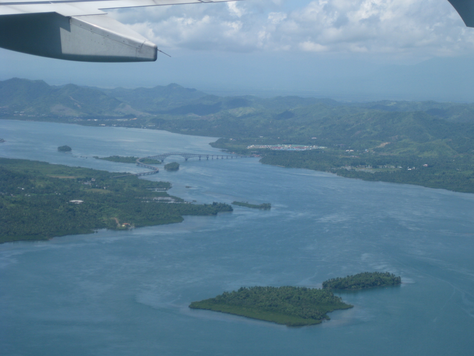 Our first look at the San Juanico Bridge was from the air as our aircraft maneuvered towards Tacloban Airport. Leyte Island is on the right while Samar Island is on the left.
 The Samar end of the bridge is in the town of Basey and the Leyte end is in Tacloban City.
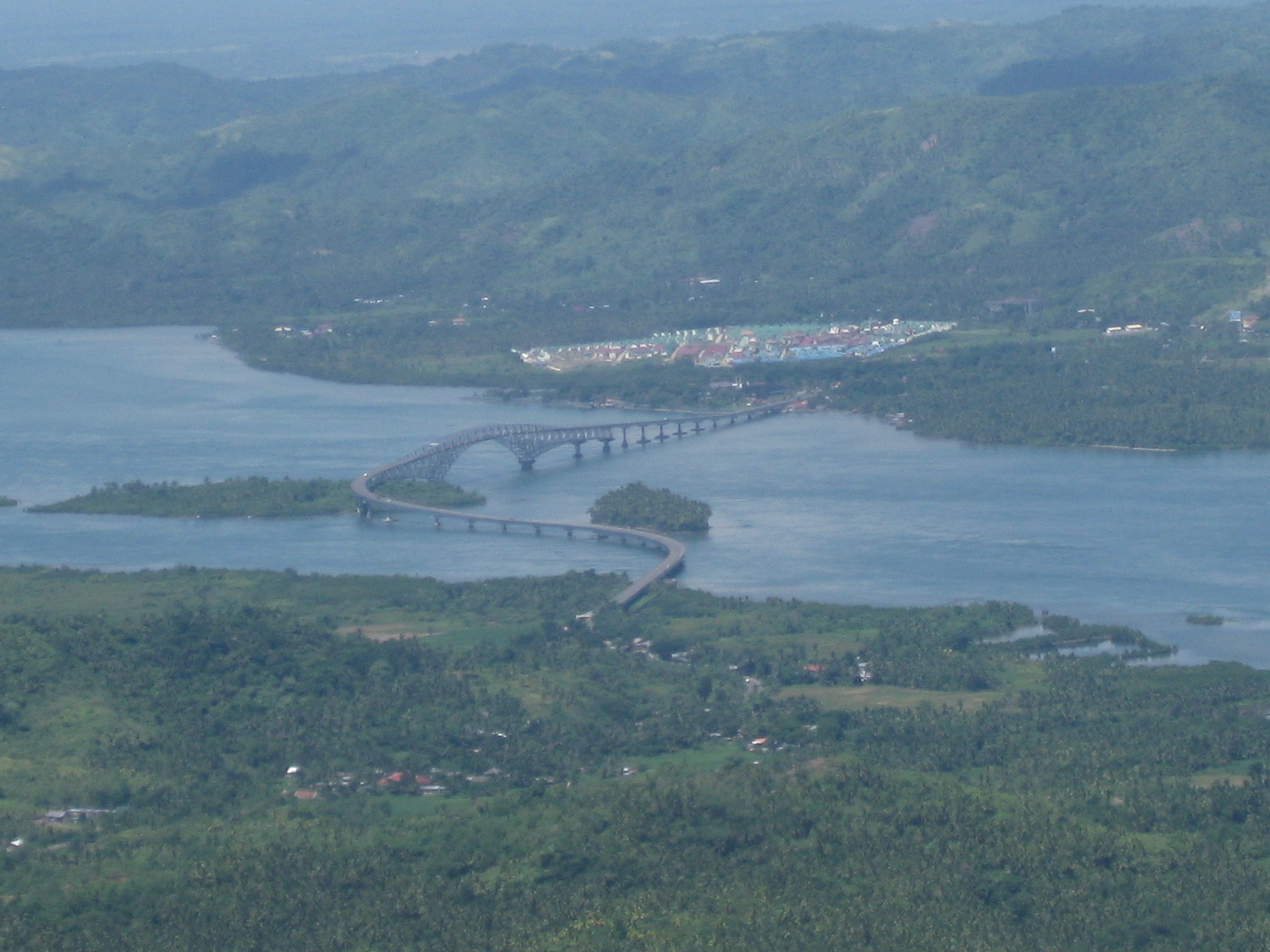 The bridge is designed in order for vessels to be able to navigate under the superstructure. The construction obviously takes advantage of the islands in the San Juanico Strait.
 Traffic along the bridge was quite low. Heavy vehicle traffic like the truck in the photo are usually regulated when using the bridge as the structure cannot carry too much load given the heavier trucks we have now. The DPWH is in charge of monitoring such heavy vehicle traffic and large trucks must get permission before traversing the bridge.
 Quite unusual – this was the first time I saw a public utility motorcycle, called habal-habal in many parts of the country, that had a makeshift roof to provide shade to the rider and his passenger(s).
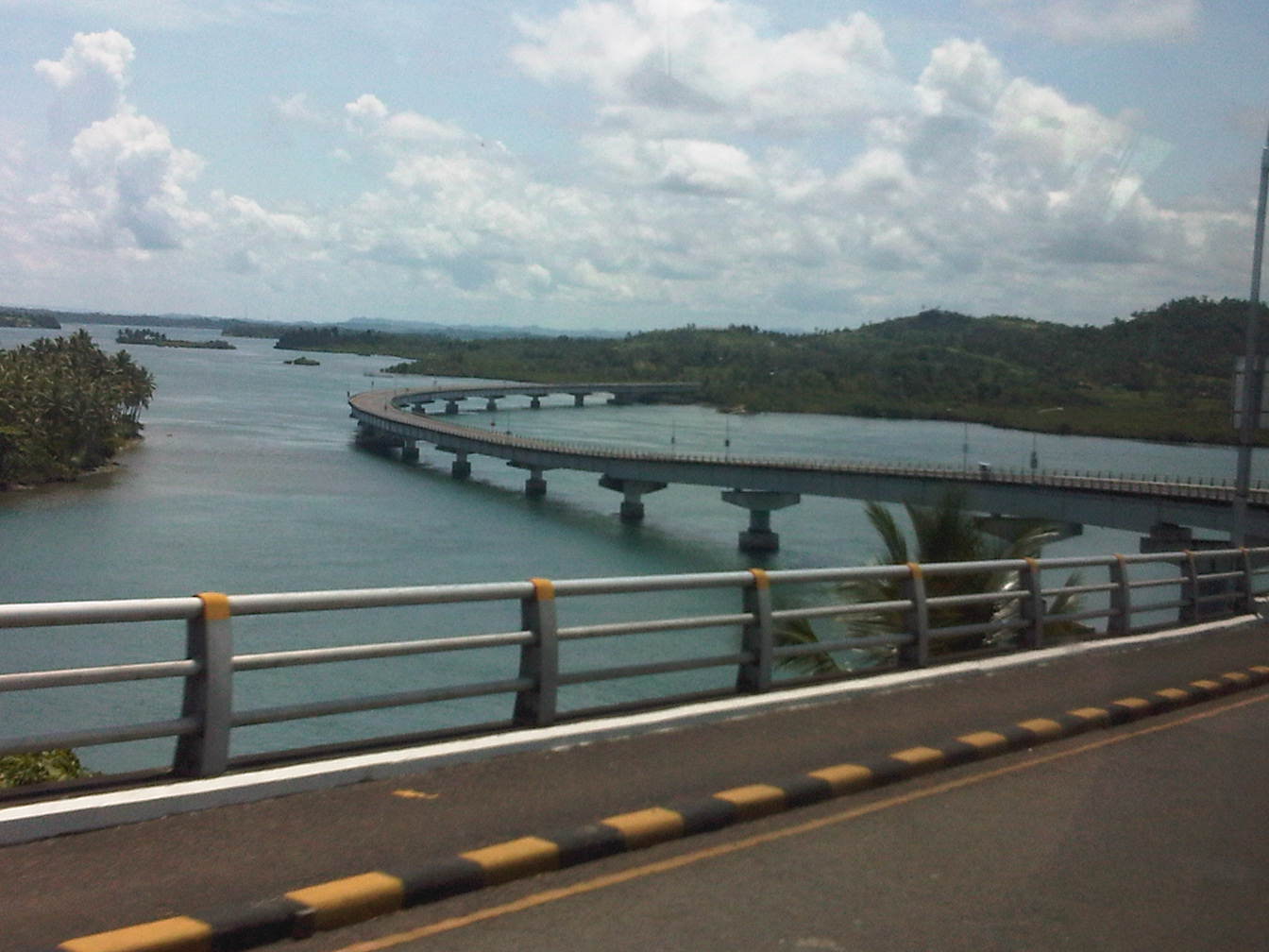 This is a view I’ve seen as a background in many photos as it shows an interesting section of the bridge as it eventually lands in Samar.
Given the light traffic along this bridge that connects two of the largest islands in the country, I am tempted to ponder on the proposals to build much longer bridges connecting other islands. One such proposal is for a bridge to connect the islands of Panay and Negros in Western Visayas. While traffic between these two islands will surely be more than that between Samar and Leyte, I would bet that this won’t be enough to justify the staggering cost of such infrastructure. Indeed, it will be a longer bridge and one that will be a marvel of engineering but it is a folly if seen from the perspective of the people in both islands having more pressing needs in both social and institutional infrastructures (e.g., health centers and schools) that spending money on such a bridge is just plain obscenity.
–
Manila East Road
The Manila East Road is located in the province of Rizal to the east of Metro Manila. The section of the highway featured in this post connects the towns of Taytay and Angono in the province of Rizal while also in the vicinity of Antipolo City, Cainta and Binangonan. References will tell us that the road actually stretches all the way to Laguna where it passes through the towns of Pangil, Pakil and Paete along the east coast of the Laguna de Bay and continues through more towns of Laguna until Calamba.
The following photos were taken one rainy afternoon while we were listening to the radio about senators giving their individual verdicts on the first article of impeachment for the Chief Justice of the Supreme Court of the Philippines. While there are rain drops visible in the photos, these did not obscure the view of the highway allowing us to take good enough shots to illustrate the stretch of the road from Angono to Taytay (junction with Ortigas Avenue Extension (R-5) and just before the ascent to Antipolo). It is supposed to be part of Radial Road 5 or R-5 but other references also point to the continuation of Ortigas Extension through Antipolo and Teresa as also part of R-5. These roads eventually converge in the town of Morong, Rizal.
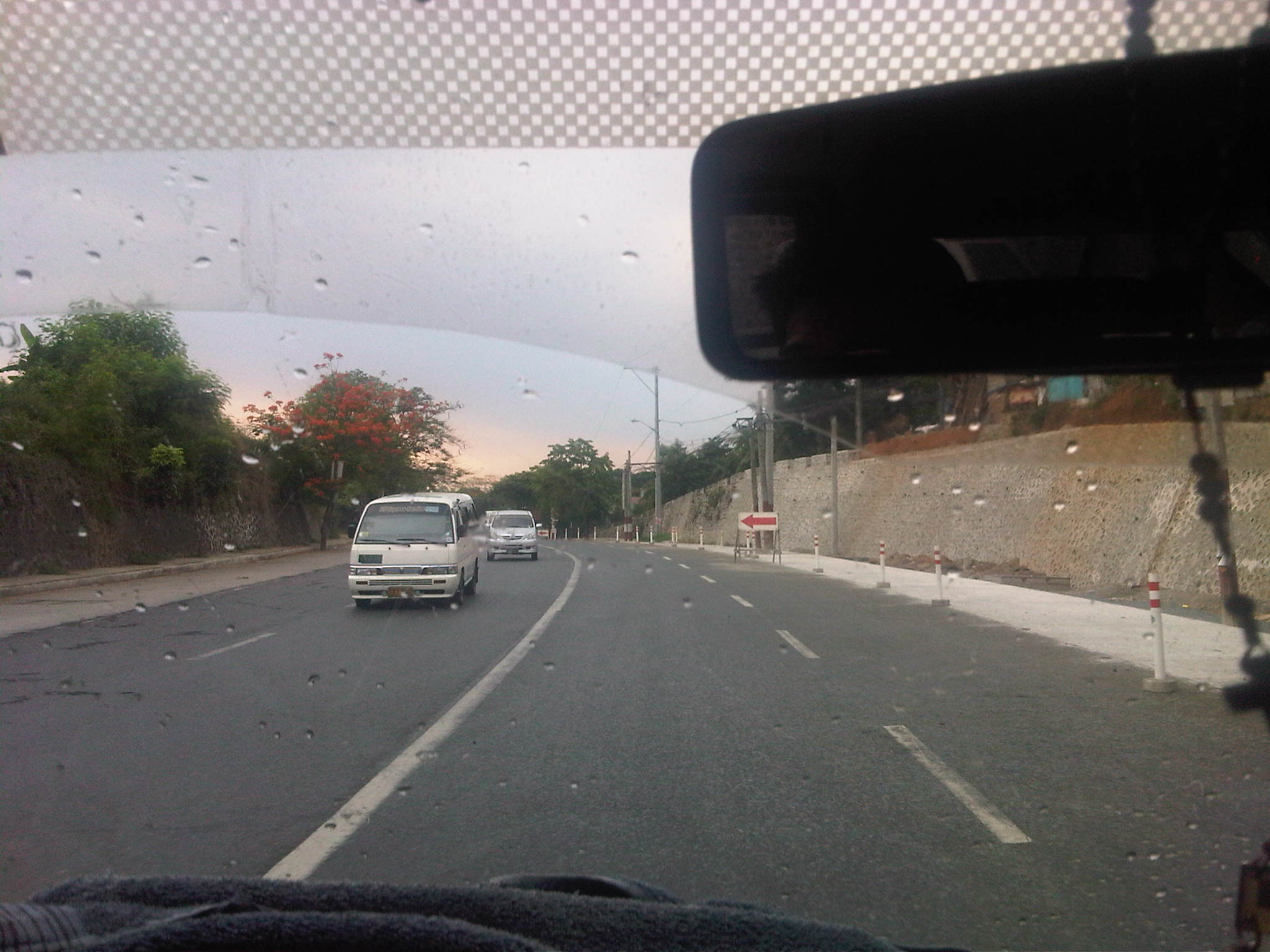 Descending from an exclusive resort where we just had a workshop hosted by a national government agency, we traveled along a section that was a 4-lane undivided road being widened to have 3 lanes per direction. While there’s a sidewalk on one side, the other side did not have pedestrian facilities.
 The section, it turns out, is a continuation of what was already a 6-lane highway as shown above.
 The 6-lane section, however, constricts into 4-lanes near the junction to the original road passing through Angono town proper. Pavement conditions were good but most markings have faded or non-existent.
 Typical of rural highways around the country, there is a proliferation of tricycles traveling along the Manila East Road. These often cause congestion due to their operations including having informal terminals along the highway.
 The lack of pavement markings can be a source of confusion for motorists who are not guided and would have the tendency to encroach into the paths of other vehicles.
 Rather simple sign to mark the boundary between Angono and Taytay. Elsewhere, there would have been an arch designed and put up by one of the towns and reflecting its character or showing off products or attractions.
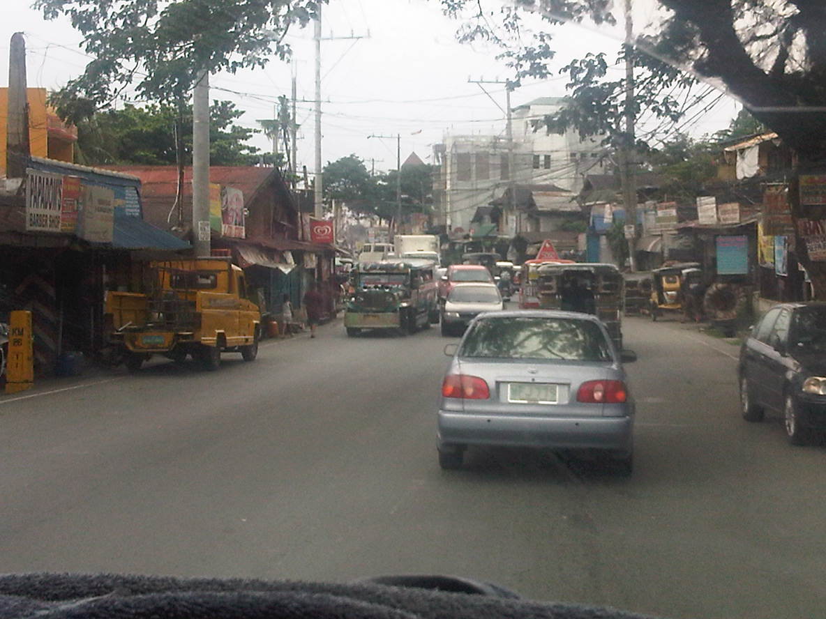 Shanties and other structures of informal settlers line up along this section of the road, effectively constricting traffic. This is supposed to be a 4-lane section (perhaps more if we check the RROW) but roadside friction including the presence of roadside parking and informal structures reduce space to about 3 lanes as shown in the photo.
 Most properties along the stretch of the highway seem unaware of building code provisions for pedestrian sidewalks and clearance in front of the building. These are matters that should have been inspected and ensured by local government.
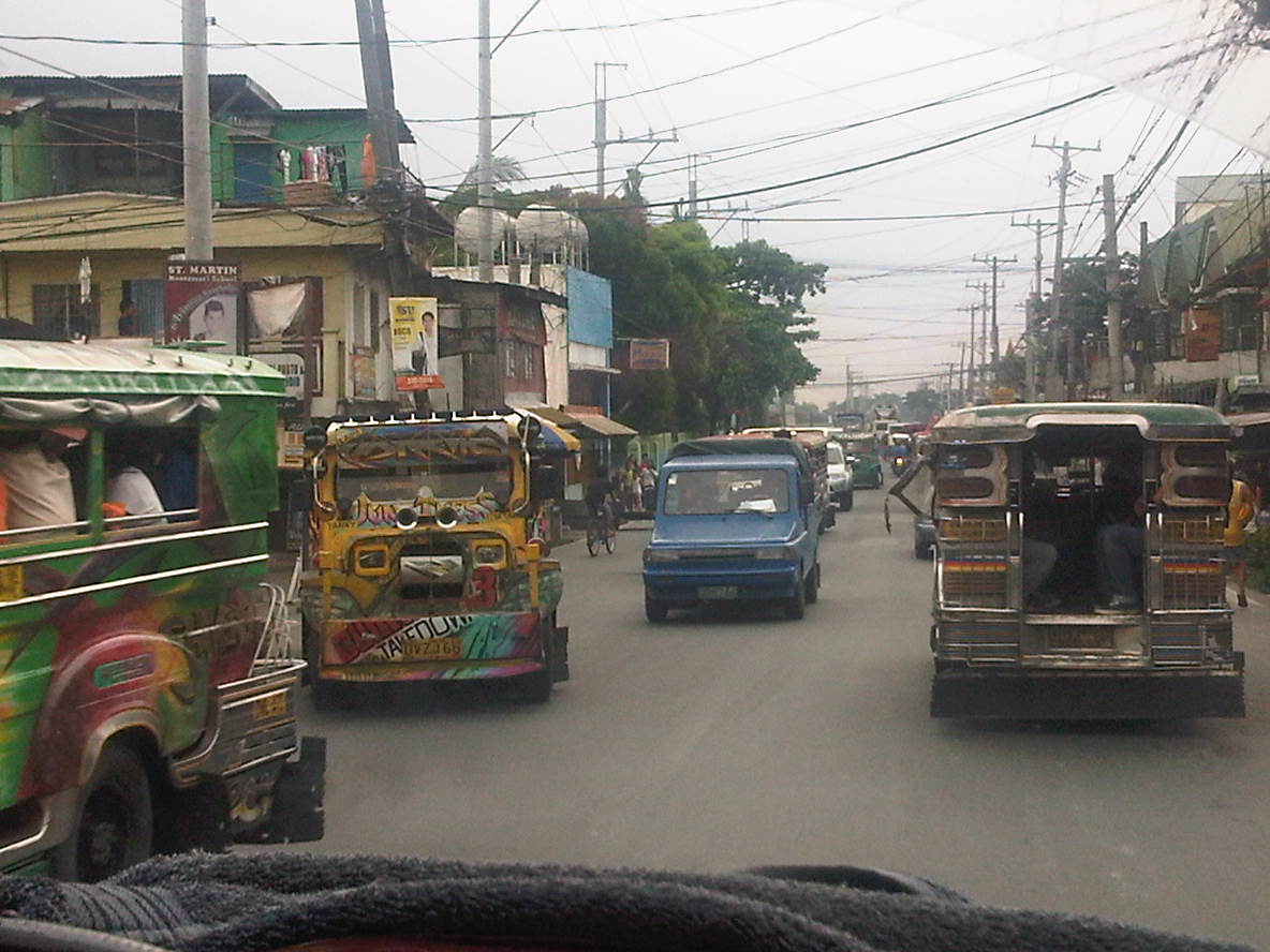 Taytay is one of the more densely populated towns of Rizal and would probably already qualify for cityhood ahead of many other LGUs that became cities in the last few years despite having shaky incomes among other qualifications. Land use planning, however, does not look like something that was undertaken for much of the areas adjacent to the highway.
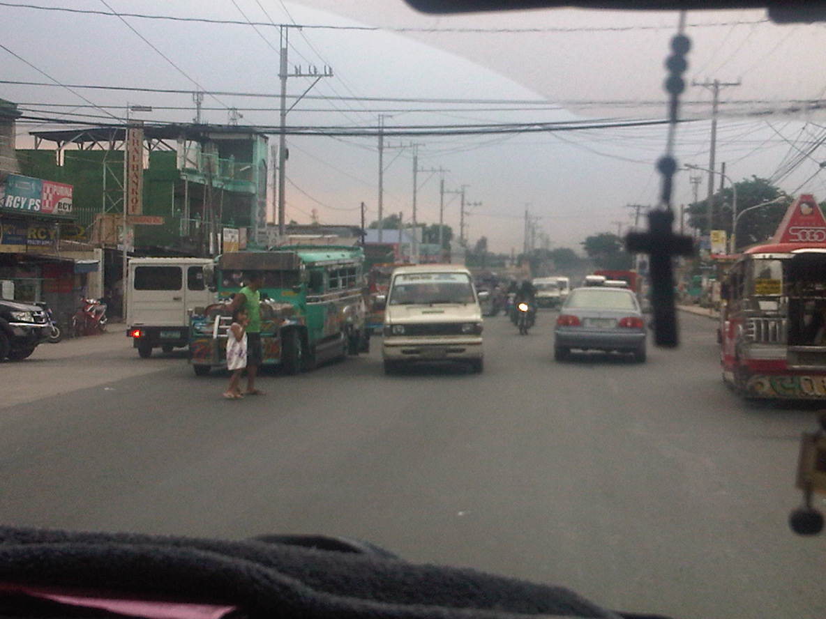 Pedestrians practically cross anywhere along the highway, with most like the man with a child in the photo seemingly uncaring about the risks posed by motor vehicles. In the case above, there are no pedestrian crossing signs or markings but in places where there are such designations people rarely follow the zebra crossings mainly out of ignorance and partly out of stubbornness.
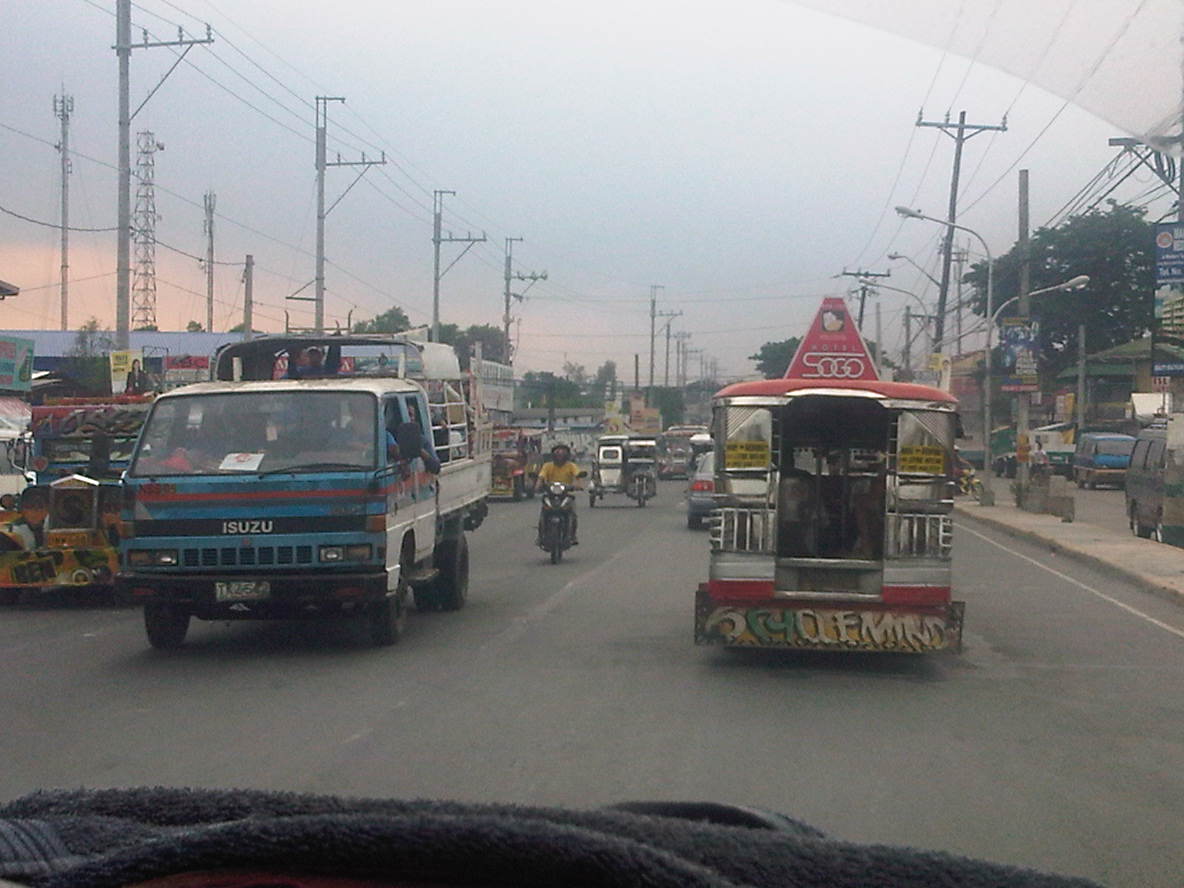 Along one section, the road widens and has along the Ortigas-bound side (right in the photo) a 2-lane service road separate from the main carriageway by a narrow concrete island. The service road is also plagued by parking though its purpose seems to be that for loading and unloading of passengers.
 Electric posts are located dangerously close to the road and would probably fall over if hit by a wayward vehicle. Such is probably the result of road-widening and shortcomings with coordination with the utility company as well as some fault, too, with the utility company as well.
 Another section with excellent pavement conditions but no pavement markings.
 There are short bridges along the highway due to the streams that run across the road from the mountains in the east to the general direction of Laguna De Bay and the Manggahan Floodway to the west. These bridges also tend to limit the width of the carriageway as shown in the photo.
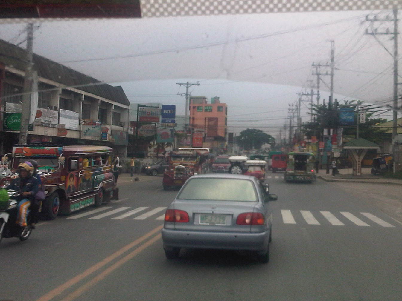 After the bridge, the road widens back to 4 lanes and complete with standard markings. For the entire length of the road from Angono to Taytay there is a trend, based on our observations, that sections alternately widen and narrow based on the developments on either side of the road.
 On-street mayhem is when you mix different kinds of vehicles and pedestrians on the road in the Philippines.
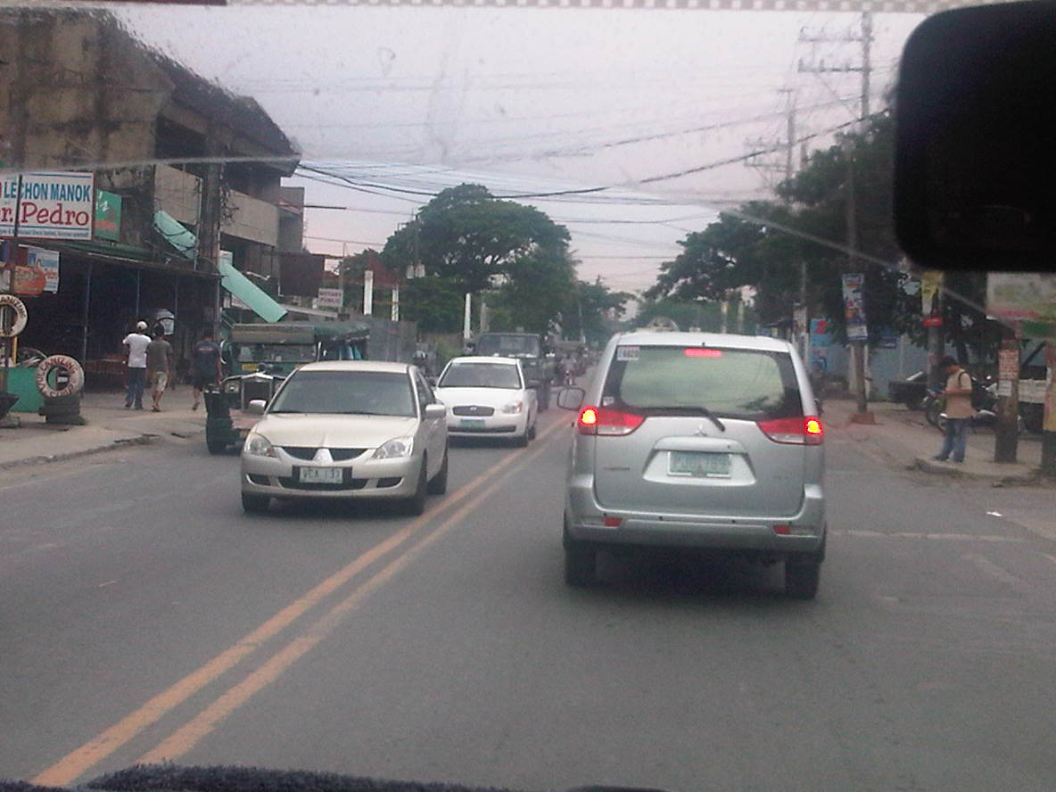 What is supposed to be a 4-lane road seems like a 2-lane carriageway because of some delineations missing and vehicle tending to hog the equivalent of 2 lanes like the vehicle in front of us.
 Junction with A. Bonifacio Ave (from Imelda Ave. and the Cainta Junction). A. Bonifacio passes through the town centers of Cainta and Taytay but is usually a very congested road having a narrow 4-lane carriageway that’s effectively a 2-lane road. The Manila East Road effectively bypasses that road. Notice that after the junction, the road markings are all there.
 Curve right after the junction
 This section has a total of 8 lanes based on the pavement markings but effectively has only 6 as the outermost lanes are often occupied by parked vehicles or used by pedestrians in the absence of sidewalks along either side of the highway.
 Pedestrian bridge between two buildings comprising the SM City Taytay. People have a tendency to cross at street-level so to force them to use the overpass, barriers were placed along the median. The barriers seem to be quite porous and I only wonder if anti-jaywalking policies are enforced in the area.
 An 8-lane stretch of the highway featuring a covered court with the name of a provincial politician stamped on its roof. This section used to have only 4 lanes with some shoulder space on either side of the highway. The DPWH and the local government had a measure of success in recovering land from encroachments and easing informal settlers off from the RROW, something that should probably be undertaken but which requires much more effort along sections shown in the previous photos.
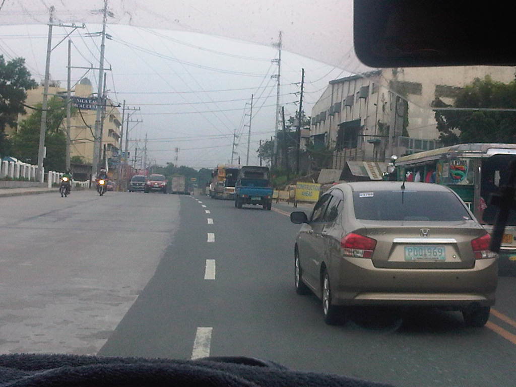 Road widening was still being implemented along the Ortigas-bound side of the highway when we passed through. There was no congestion though since the carriageway was wide enough to carry the light traffic during the early afternoon.
 The 8-lane section narrows to the equivalent of 6 lanes though the pavement markings seem to indicate only 4 lanes as shown in the photo. Already visible in the photo downstream of our position is the Tikling Junction – the intersection of the Manila East Road with Ortigas Avenue.
 Approach to Ortigas Avenue Extension and Leonard Wood Road (which is to the left just before the intersection with Ortigas)
 Junction with Ortigas Avenue Extension
–

