
Ongoing construction of the AGT at UP Diliman
People have been asking me if what was being constructed at the vacant lot near the College of Fine Arts and visible from the University Avenue and C.P. Garcia Avenue is the test track for the Automated Guideway Transit (AGT) project of the Department of Science and Technology (DOST). I always replied in the affirmative even though I haven’t seen the construction site myself. I finally had an opportunity to visit the site though I could not go directly where people were working due to the ground conditions (it has been raining heavily in Metro Manila the past few days) and the fact that it was an impromptu visit.
The following photos confirm the ongoing construction in the area where steel bars for the columns of the elevated test track are already jutting out of the ground from the foundations. The contractor is MIESCOR, a sister firm of electric utility giant Meralco. The latter, of course, has a history with public rail transport as it operated the electric tranvias in old Manila. Meralco actually stands for Manila Electric Rail and Light Company and so it seems quite fitting rather than just coincidence that it is involved, through MIESCOR, in this project.
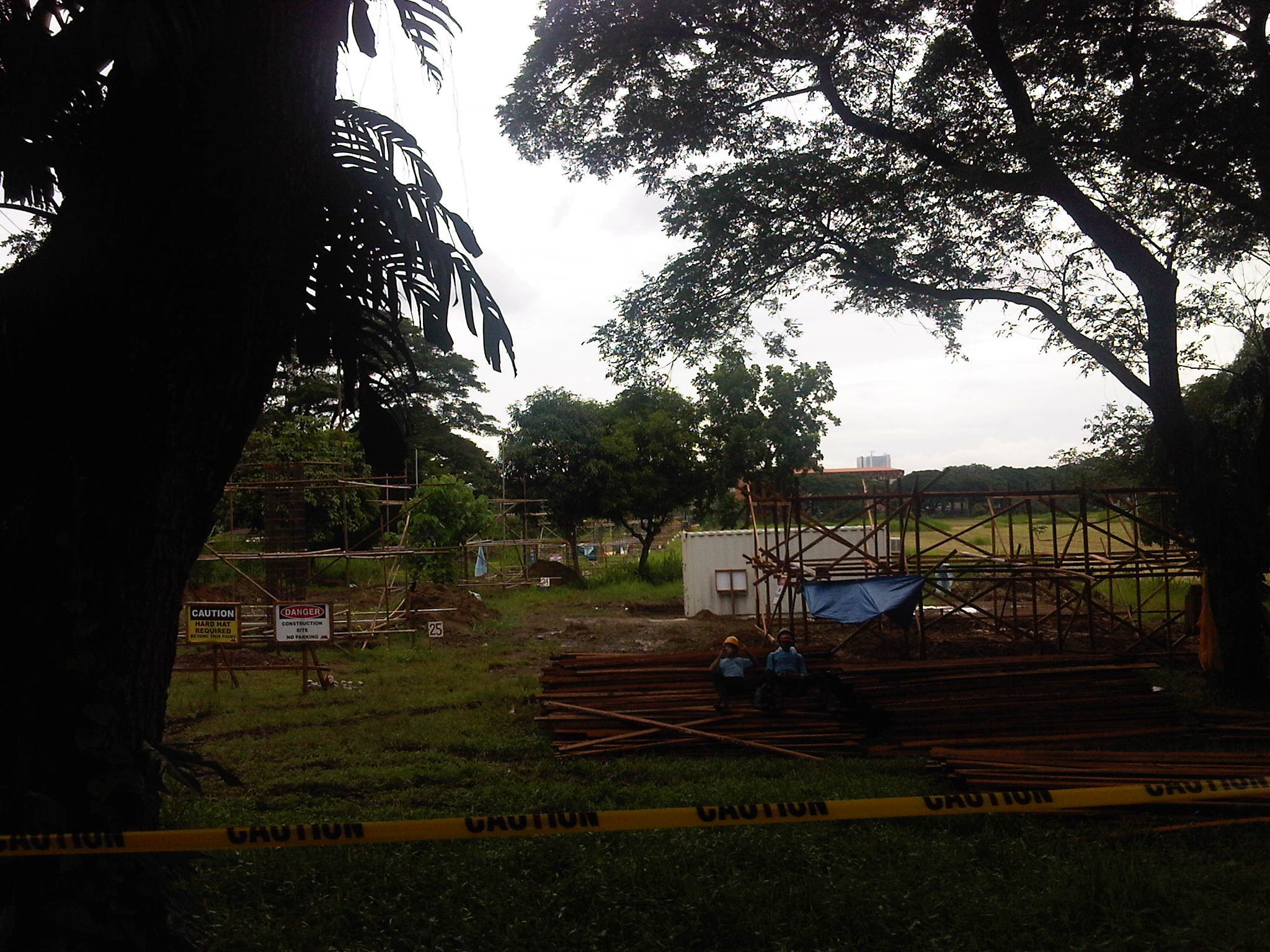 Project site as seen from Jacinto Street
 Project site as seen from the corner of Jacinto Street and the access road to the UP Veterinary Hospital and the Campus Maintenance Office (CMO).
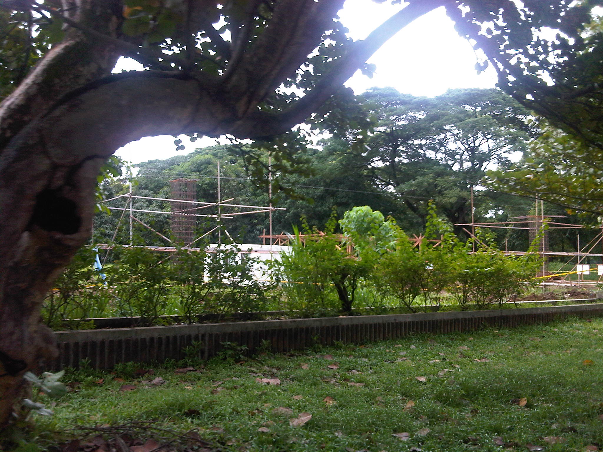 Columns rising – steel bars forming the reinforcement for the concrete columns of the elevated test track
 Construction materials piled up at the site – the expanse of the area where the test track is being built can be appreciated in the photo. That’s the rooftop of the CHED building in the background in the upper left side of the photo.
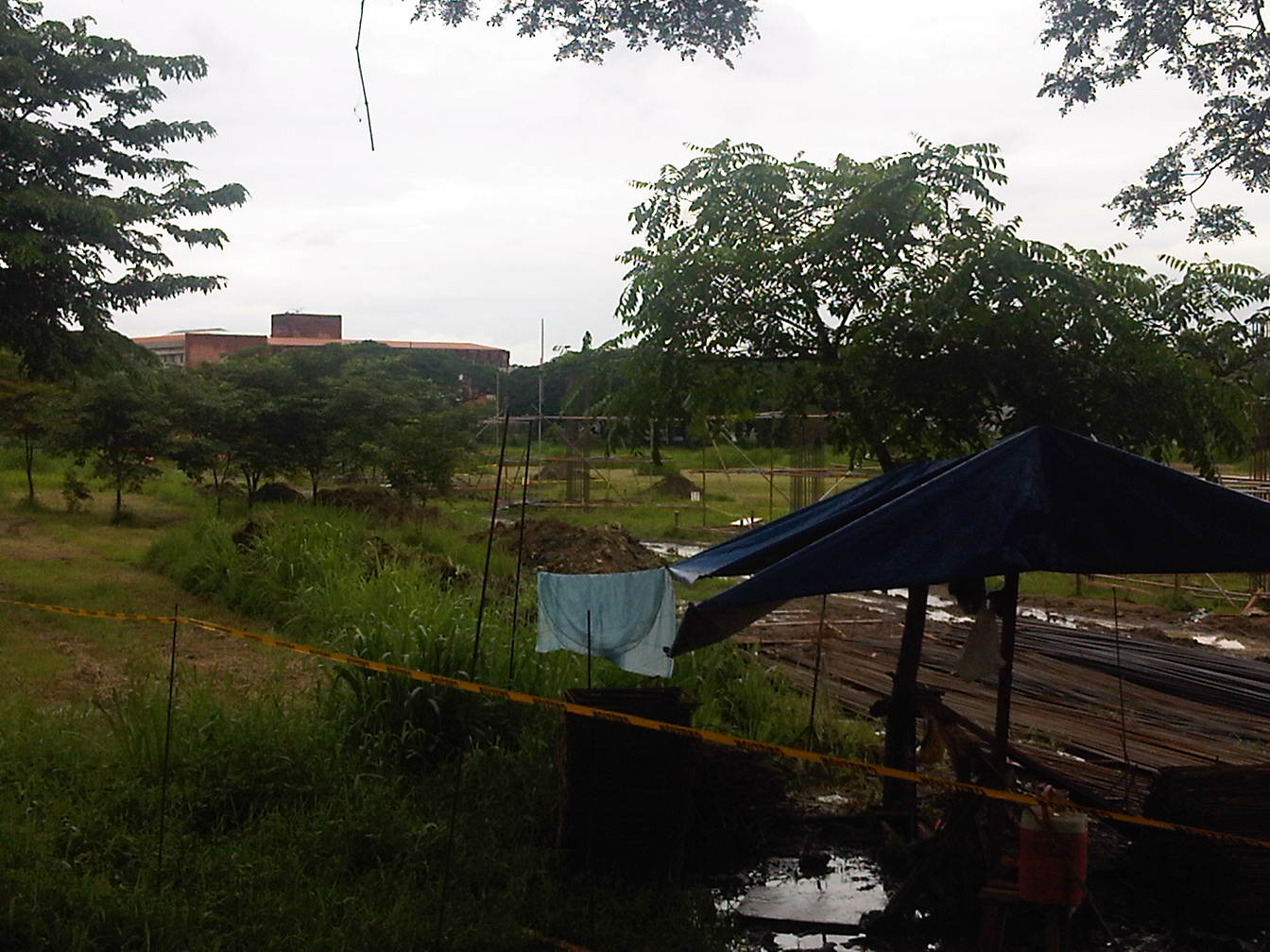 I tried to get a photo where the other columns are visible
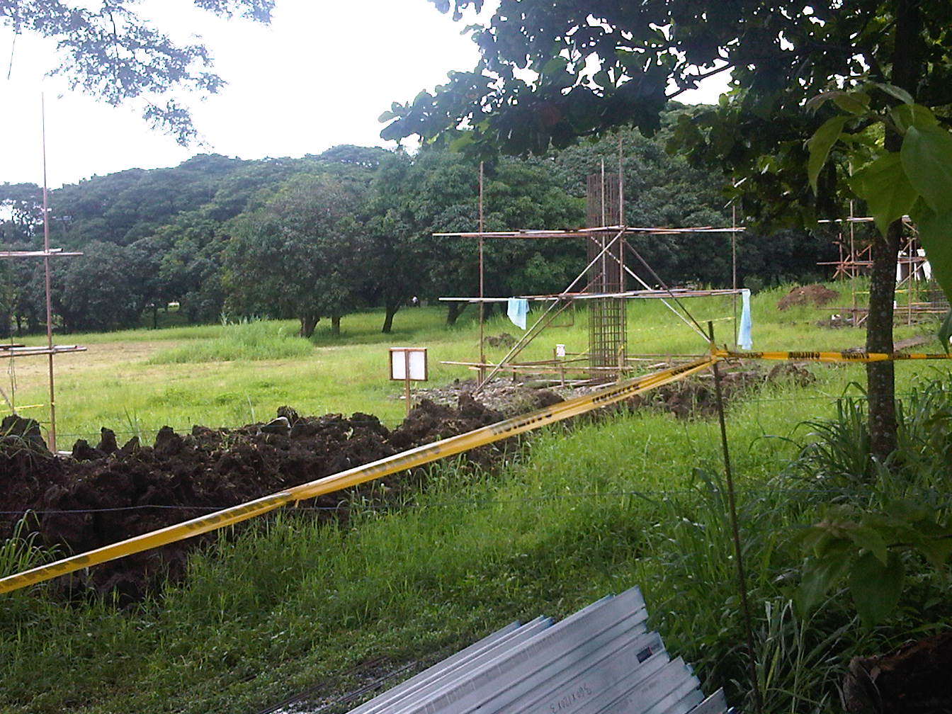 A view of the excavations and the line of columns leading to the track end near Jacinto Street
 The closest shot I could get of a column under construction
The structure should gain form in the next few weeks when work on the columns are completed and the girders forming the tracks are laid out. Perhaps the power room for the test track will also be constructed in preparation for the power system installation along the track.
–
Loop D Loop Bridge
One of the more interesting features of a highway that I have seen in the Philippines is a certain Loop D Loop Bridge section along a secondary national road between the towns of Wright (Paranas) in Samar Province and Taft in Eastern Samar.
Following is a video of the loop section, which is quite unique given the terrain in the mountains of Samar Island:
–
Philippine railway plans in 1903
I was browsing the book by Arturo Corpuz (The Colonial Iron Horse: Railroads and Regional Development in the Philippines 1875-1935, U.P. Press, 1999) and remembered there was a figure there that illustrated what looked like an ultimate plan for railways north of Manila. The map, shown below, indicated that what was the Main Line North (MLN) was already planned to be extended all the way to Laoag in Ilocos Norte from the existing station in Dagupan, Pangasinan.
 PNR expansion plans in 1903
The map also shows proposed and alternate plans for a branch of the railways run along the Cagayan Valley and all the way to Aparri, Cagayan. The map along with others from that period reinforce what I have termed as probably one of the biggest “what ifs?” in Philippine transport. If such plans were implemented and we had retained and even upgraded these lines, perhaps inter-provincial or inter-regional passenger and freight flow in Luzon could have been significantly different from what we currently have that is dominated by road transport. A fully developed MLN and MLS could have been game changers in the development of Luzon and the country in general. Long distance travel for both people and goods may not have been dependent on road-based vehicles, and perhaps could have been more affordable for many people before the emergence of air transport and the present’s budget airlines. In fact, a fully developed railway system could give budget airlines and bus companies a run for their money today and perhaps influence tourist transport as well.
–
Road congestion around NAIA: Sales Bridge
A particularly urgent problem concerning traffic congestion is the case of the Sales Bridge along the Sales Road at the Nichols/Villamor Air Base area. The bridge and the road is the main access from Fort Bonifacio and the Taguig/Makati areas and is used by most vehicles going to or coming from the airport not using EDSA and Tramo. That’s practically much of the airport-related traffic from Quezon City, Pasig, Marikina and Rizal Province. There’s usually also traffic congestion along Tramo from EDSA but this is predictable and the reason why more people tend to use the route via Sales Bridge. Nowadays its pretty bad in the Villamor area and this has been an inconvenience to a lot of travelers.
It’s been more than a couple of months now since repair/rehabilitation works for the Sales Bridge began and there are only a single lane bound for the west-bound direction and 2 lanes for the east-bound side. From the last time I passed through the area, it seems that the work on the bridge will be taking more time to complete and so more people will have to endure the inconvenience of congestion in the area. There are not so many options for traffic re-routing but I believe traffic enforcers at the intersection of Sales Road and the West Service Road should prioritize traffic bound for or coming from the airport considering the latter being a major gateway not just for Metro Manila but for the country.
 Vehicles queued along the east-bound side of Sales Road. The blue wall on the right is the fence of Villamor Air Base. The overpass on top is the access ramp for the Skyway.
 2At the junction, where there is a roundabout for traffic coming from the airport, Sales Bridge and the West Service Road of the South Super Highway, traffic is all tied up and you can usually hear a lot of honking among motorists whose patience have been tested by the traffic jam.
 While there are traffic enforcers posted at the intersection to manage traffic, they can only do so much given the capacity of the bridge. The volume of traffic from the airport and the service road can usually overwhelm the enforcers but they should try to establish priority for traffic. It seems that the west service road is usually given more priority than the traffic to and from the airport. This should not be the case here considering NAIA is a main gateway to Metro Manila and the country.
–
Manila Gravel Pit Road – Litex Road
Among the more unusual names for a road is one that connects Quezon City in Metro Manila to Rodriguez (formerly Montalban) in Rizal Province – the Manila Gravel Pit Road. It is also known as Litex Road, which is referred to in many bus signboards plying the Fairview / Novaliches routes. The following photos were taken around the same time the other photos along the Batasan-San Mateo Road, Montalban Highway and Payatas Road were taken and so comprise a series of posts.
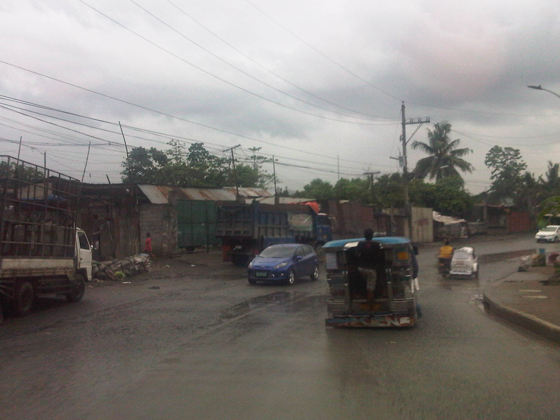 The road has 4 lanes along some sections but is effectively a 2-lane road due to significant roadside friction include parked vehicles along either side.
 There are many informal settlers encroaching upon the RROW like the shanties shown on the left side of the road in the photo.
 There are a few picturesque section of the road owing to the presence of greenery on both sides of the highway. There are also efforts here and there to improve drainage. One concern though is the lack of pedestrian facilities forcing people such as the woman on the left to use the carriageway instead.
 When I look at the photos now, I keep trying to keep in mind that the reason there is a fence made out of CHBs on one side of the road is because it demarcates the property of the La Mesa watershed.
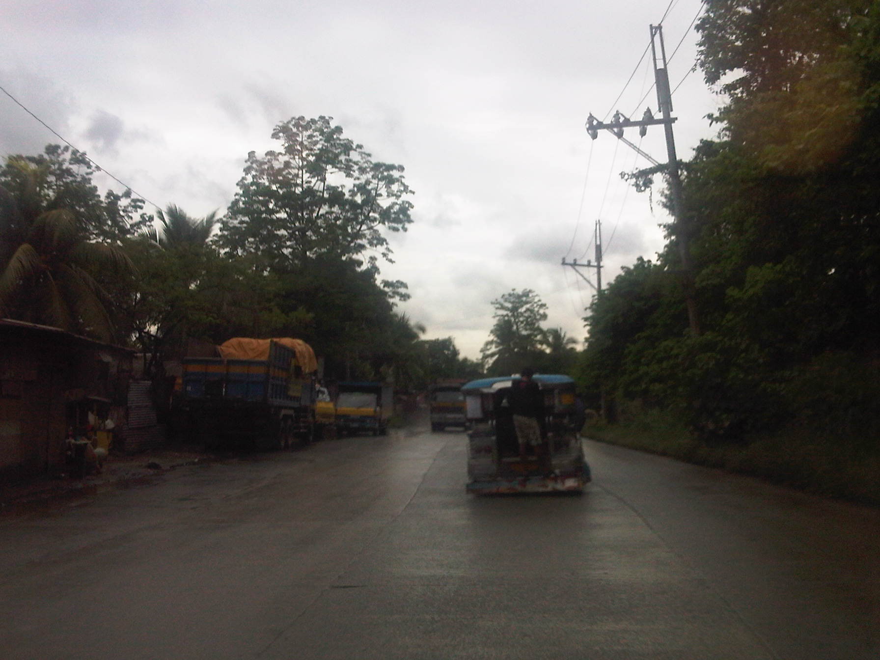 There is significant truck traffic along this road. In particular there are many dump trucks (the rigid 3-axe types) traveling along the road for the primary purpose of transporting garbage to the nearby Payatas dumpsite. Prior to the focus on the dumpsite, the road was named as it was because of it being used to haul gravel from the quarries in nearby San Mateo and Montalban.
 Section near a Manila Water facility (right) as only 2 lanes without sufficient shoulders on either side of the road.
 One can easily see the garbage trucks from afar due to the typical bright yellow color of most trucks hauling garbage to the dumpsite.
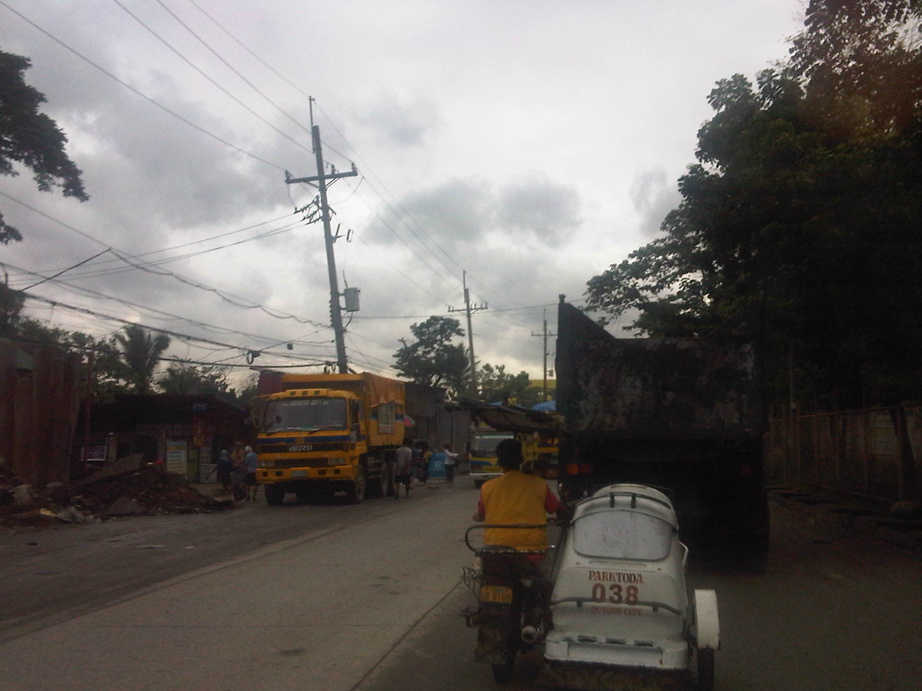 One will see many trucks parked along the road and still with their loads. Some truckers will try to salvage items they could sell to junk shops like scraps of metal, bottles and plastics that they are able to sort from their loads. What remains will be taken to the dumpsite where scavengers will have their chance to pick on whatever are left that probably has value.
 There are many garbage trucks traveling along or parked along this stretch of the road as the numerous side streets lead to the Payatas dumpsite.
 An elementary school building (name of school I forgot to take note of) with its typical yellow and blue motif used in the past administration of QC and retained with the current dispensation.
 One will encounter more trucks along the road heading towards the dump site or their suking junk shops.
 That’s the Cecilia Munoz Palma High School with the yellow and blue motif building. It is one of the better public schools in Quezon City considering the limited budgets for public education.
 From a road safety perspective, the road section fronting the school is unsafe for students as there are no pedestrian facilities, road markings (zebra crossing, rumble strips, etc.) and traffic signs (school zone, speed limits, etc.)
 More trucks parked along the road beside informal junk shops put up by informal settlers. Many truckers also live in the area where many informal settlers are tolerated by the local government. These allegedly translate into votes during election times.
 Trucks galore…need I say more?
 Approaching Commonwealth and the Fairview area, lands on either side of the road are occupied by informal settlers that hide the formal residential subdivisions in the area. Many structures have occupied what could have been pedestrian sidewalks and buffer zones between residential areas and the road. The situation is exacerbated by roadside parking.
 While there are semblances of sidewalks along some sections, pedestrians are eventually forced on the road because of obstructions and encroaching structures.
 The truck traffic and the lack of pedestrian sidewalks combine for an unsafe road.
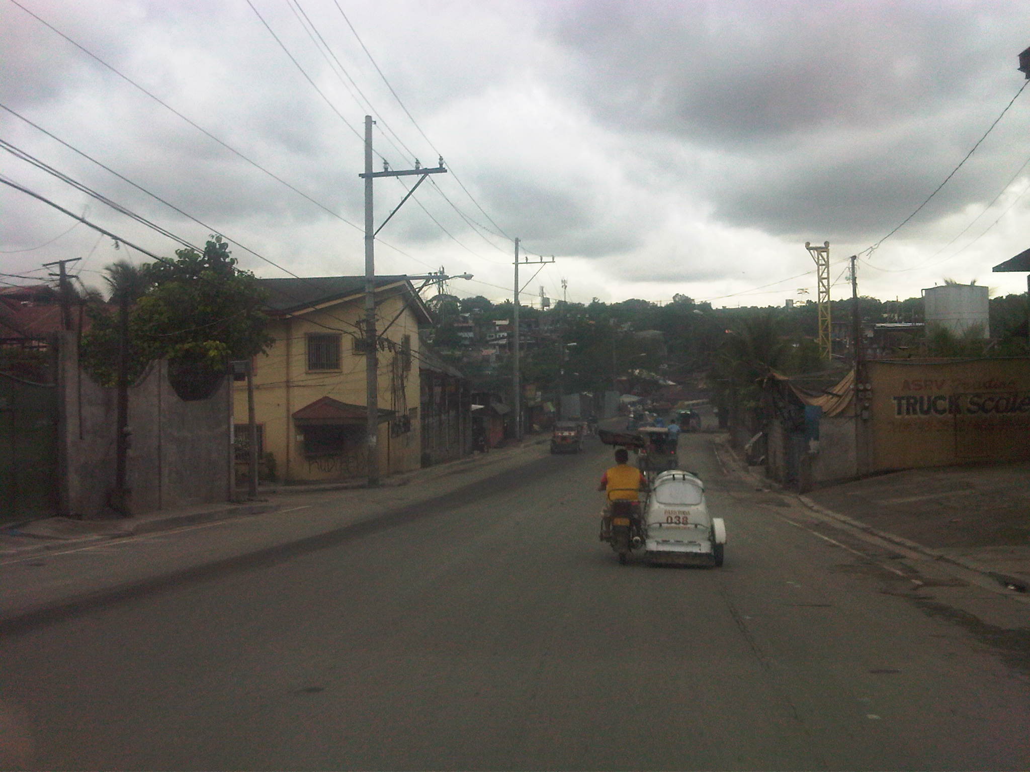 The higher grounds of the Batasan area is visible in the horizon. This road section is conspicuously wide (4 lanes) and we chanced upon passing through while there was light traffic. Note also the more formal structures on either side of the road though pedestrian facilities are still lacking.
 More junk shops along the road with some selling second (or even third) hand materials that can be used for construction. Many become the “building blocks” of shanties in informal settlements in the area.
 Most sections have poor pavement conditions due to truck traffic and the lack of a proper drainage system. Water eventually seeps beneath the concrete layer and weakens the foundation (sub-base) of the pavement.
 Further examples of bad practices – pedestrians walking on the carriageway, passenger hanging on a jeepney, lack of traffic signs and road markings, and tricycles along a national road.
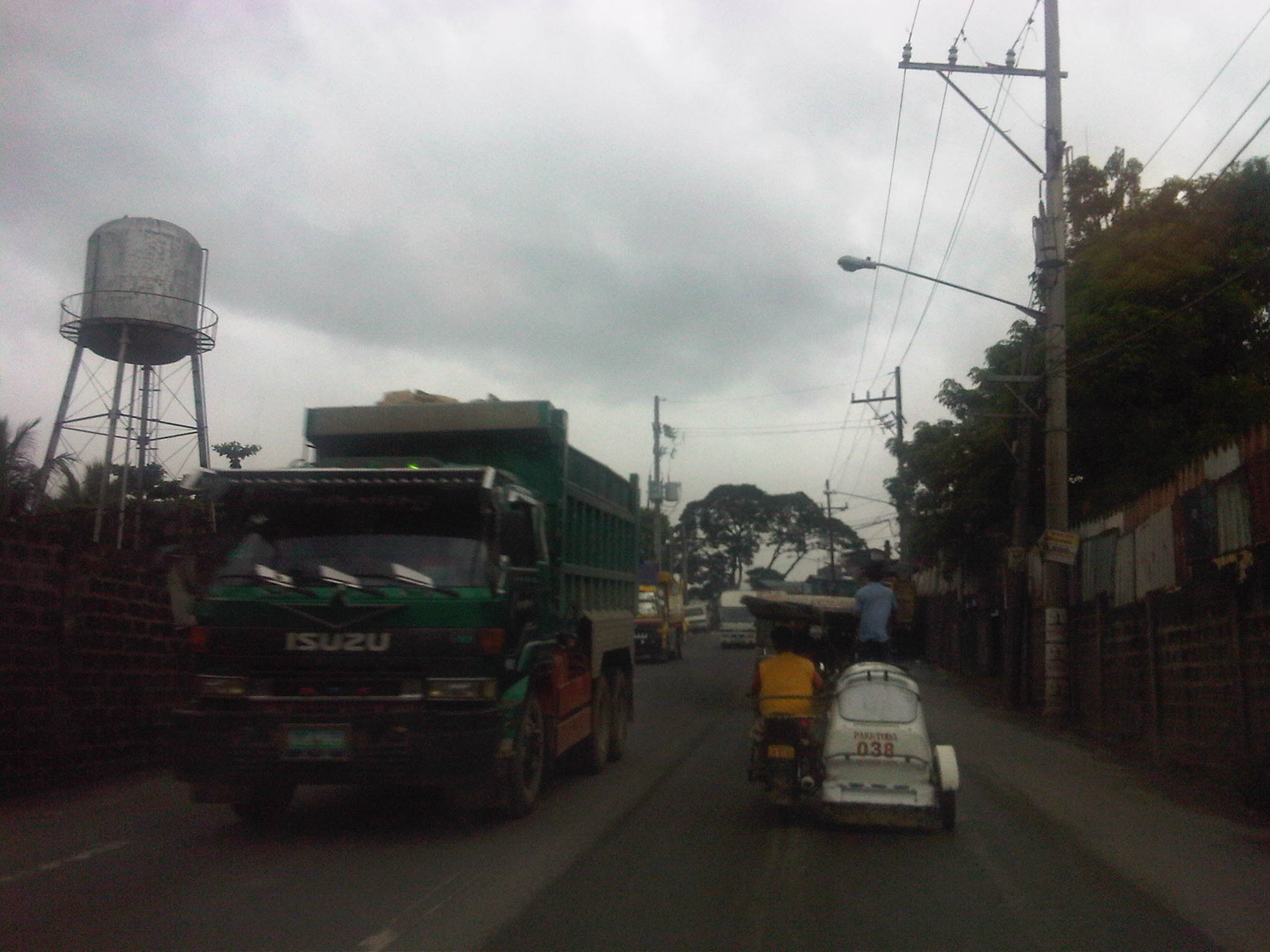 No sidewalks here, too, so pedestrians (if they dare to walk here) can be pinned between traffic and the walls on either side of the road.
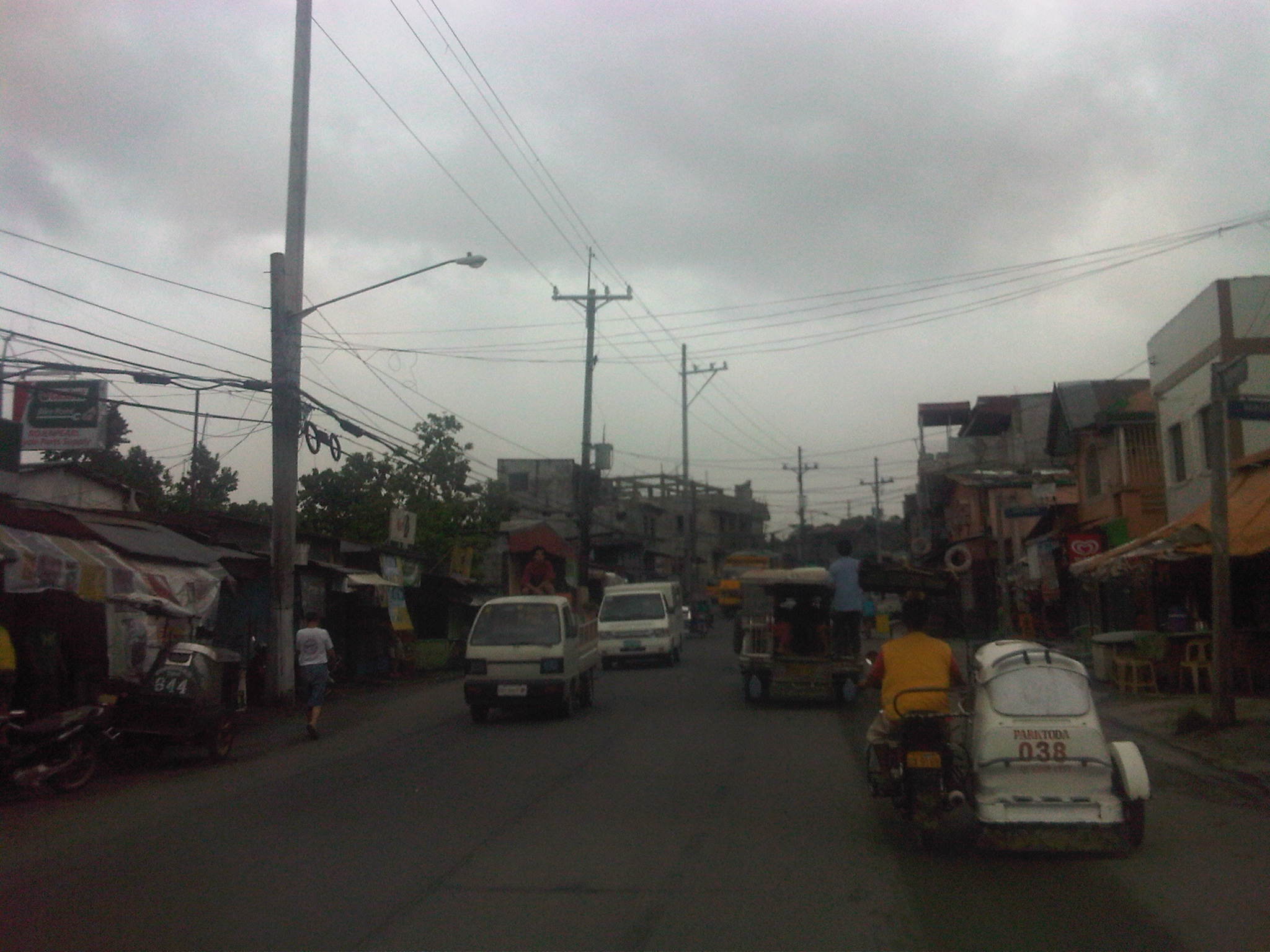 There are many informal settlers around the Payatas area and formal residential areas are often obscured by structures built along the roadside including stalls, stores and repair shops.
 A busy section complicated with parked vehicles along the roadside and the proliferation of tricycles and motorcycles in this densely populated (and vote-rich) part of Quezon City.
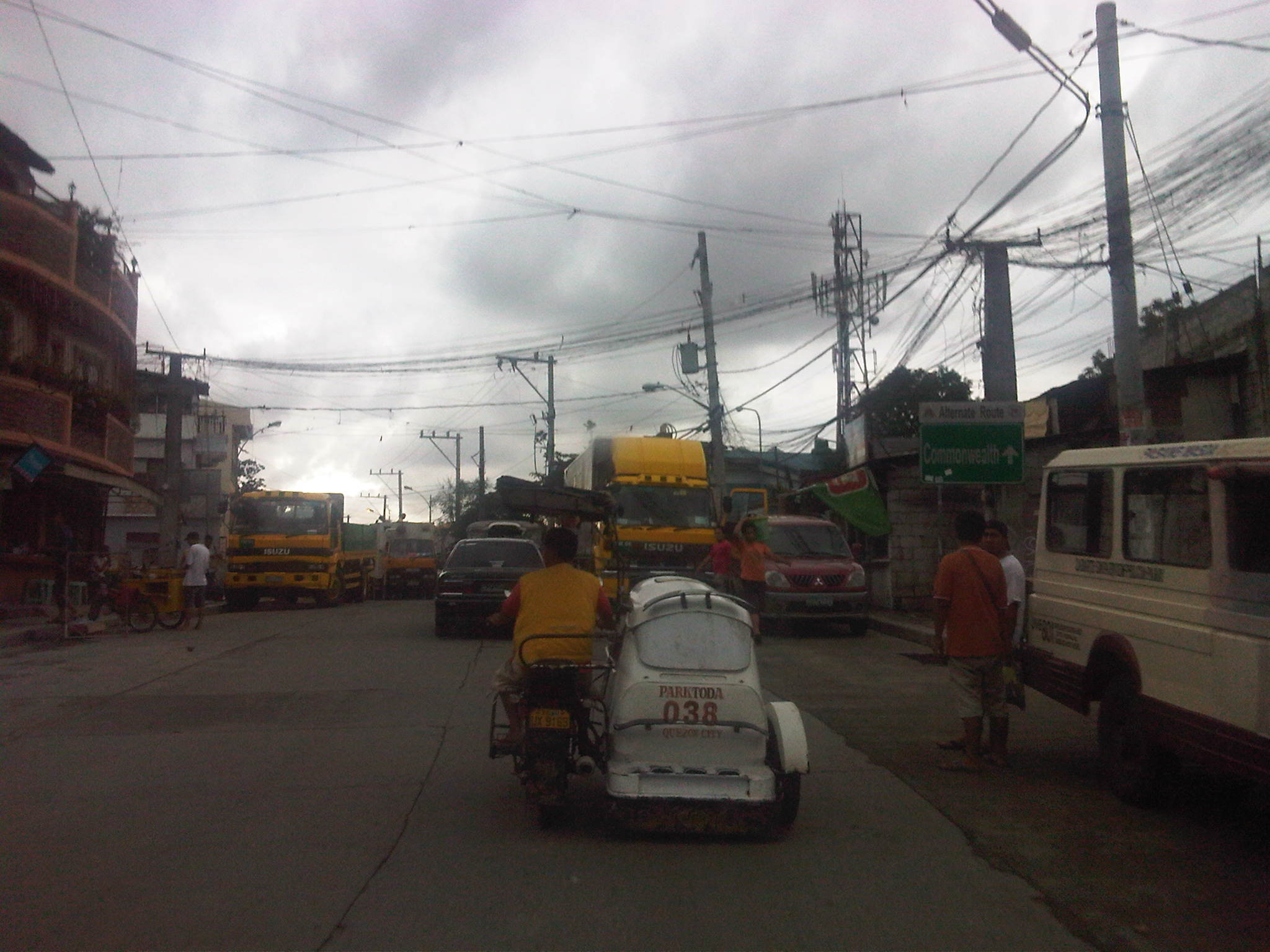 A sign that is not so easily seen informs travelers they are approaching Commonwealth Avenue. Also, have you noticed that the tricycle in this photo is also present in most of the previous photos? This is proof of the long ranges of such tricycles serving the area and competing directly with jeepneys with fixed routes. They are also among the many that violate a fundamental law that prohibits tricycles along national roads. Perhaps if this were a rural area, they could be excused but this is part of the urban jungle and so its obvious that the local government is at fault for not regulating their operations.
 The road intersects with the Batasan Road just before the junction with Commonwealth Avenue. Near the Litex-Batasan intersection are all sorts of vehicles (jeepneys, AUVs, trucks, cars) parked along the roadside or at vacant lots plus tricycles lined up along informal terminals right on the streets.

More efforts are obviously needed to improve road safety along this road, particularly to encourage walking along areas better suited for such rather than being dependent on tricycles or pedicabs. The road is used by a significant volume of trucks, most of which carry solid waste or garbage collected from different parts of Metro Manila. Such freight are themselves associated with risks including their potential spillage and could contribute to pollution due to leachate from the usually wet garbage collected and hauled by the trucks.
–
Payatas Road
We traveled along the section of Payatas Road from the junction with Montalban Highway to the intersection with the Manila Gravel Pit Road. A significant length of the road had the La Mesa watershed, Metro Manila’s main source of fresh water, along its right. This was an issue before and is still an issue today as more and more developments are made along the road with some already having impacts on the watershed due to encroachments, irresponsible waste disposal and other activities.
The following photos show various sections of the Payatas Road from its junction with Montalban Highway to the point it becomes the Gravel Pit Road (also known as Litex Road). The photos clearly show the road and roadside conditions of this important link between Metro Manila and Rizal Province.
 After turning left from the intersection with Montalban Highway, it is a two-lane road
 A few hundred meters away, travelers begin to climb towards Quezon City view a few picturesque areas along the road. The tarpaulin sign on the left indicates an ongoing roadworks project by the DPWH.
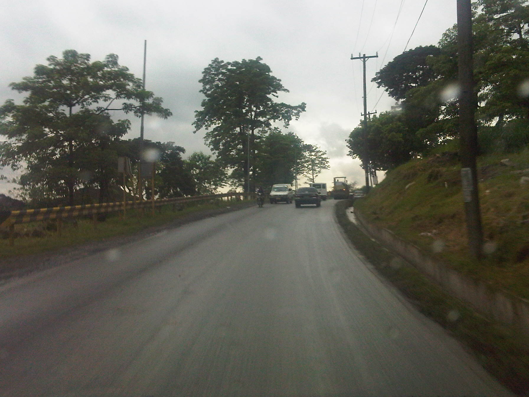 The canal on the inner side of the road keeps water off the carriageway, making the surface safer for motorists. These though are not easily seen at night-time without proper pavement markings and lights.
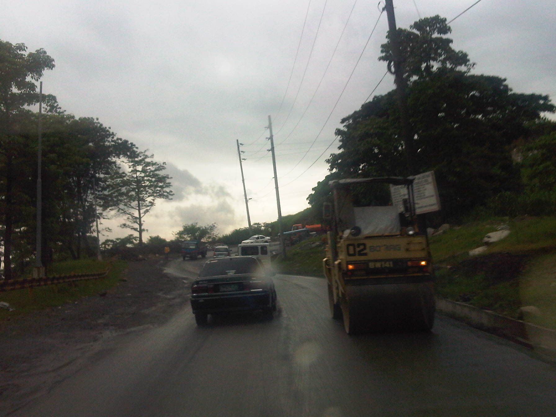 There were roadworks ongoing along the road as we ascended and heavy equipment like the one shown in the photo tend to constrict traffic flow.
 Going up the road, we became part of a platoon of vehicles whose speed was dictated by the road conditions.
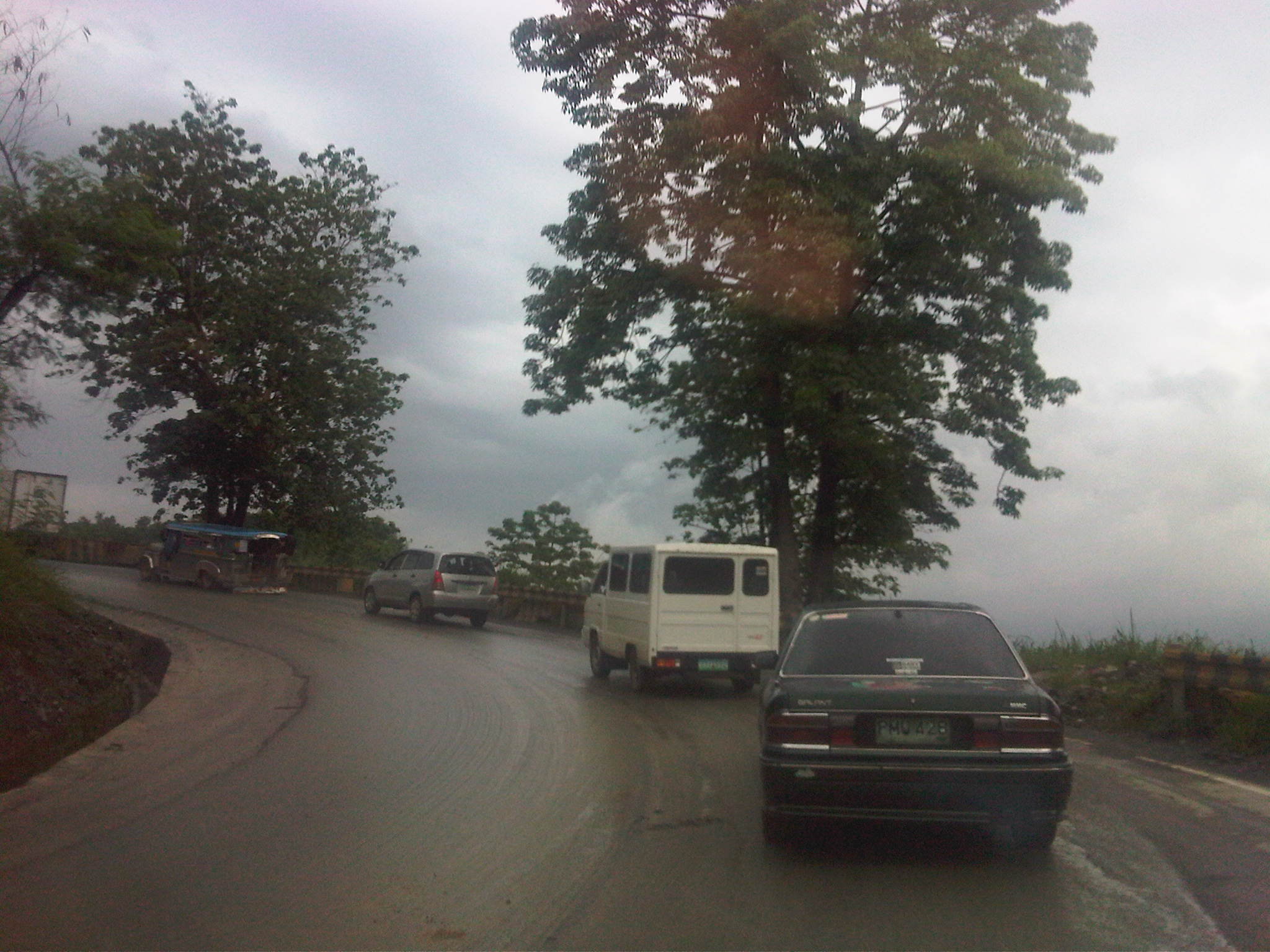 Trucks are usually the slower moving vehicles and will often dictate speeds on the ascent.
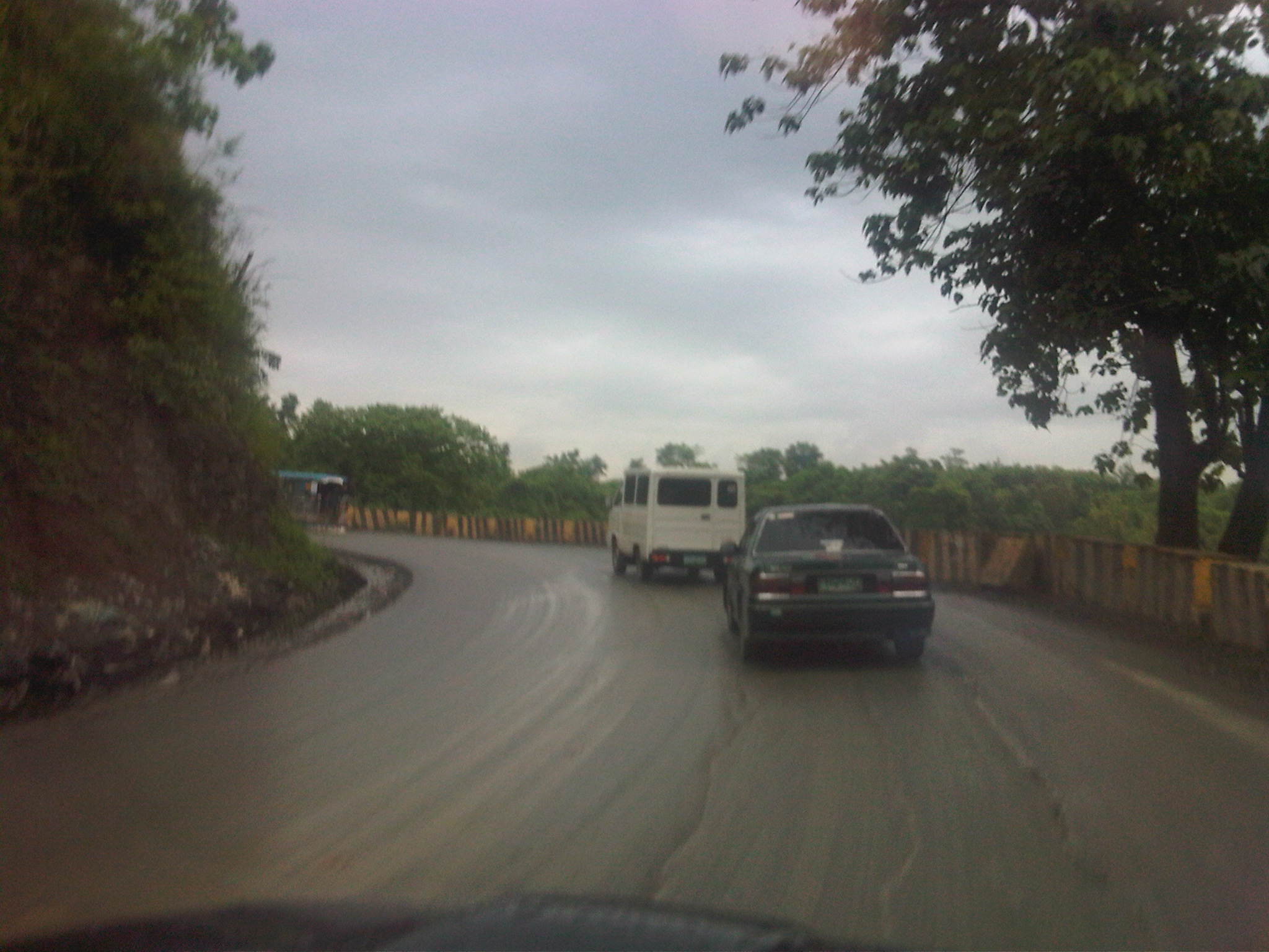 Concrete barriers prevented vehicles from flying off the road in case the driver or rider loses control of the vehicle.
 View of the Marikina Valley, which is the catchment area for a lot of water (from rains) that comes from the surrounding mountains of the Sierra Madre range.
 There’s significant truck traffic along this road and many carry garbage or junk.
 But traffic is usually light as this and other photos show. Many sections had no pavement markings and traffic signs to guide motorists.
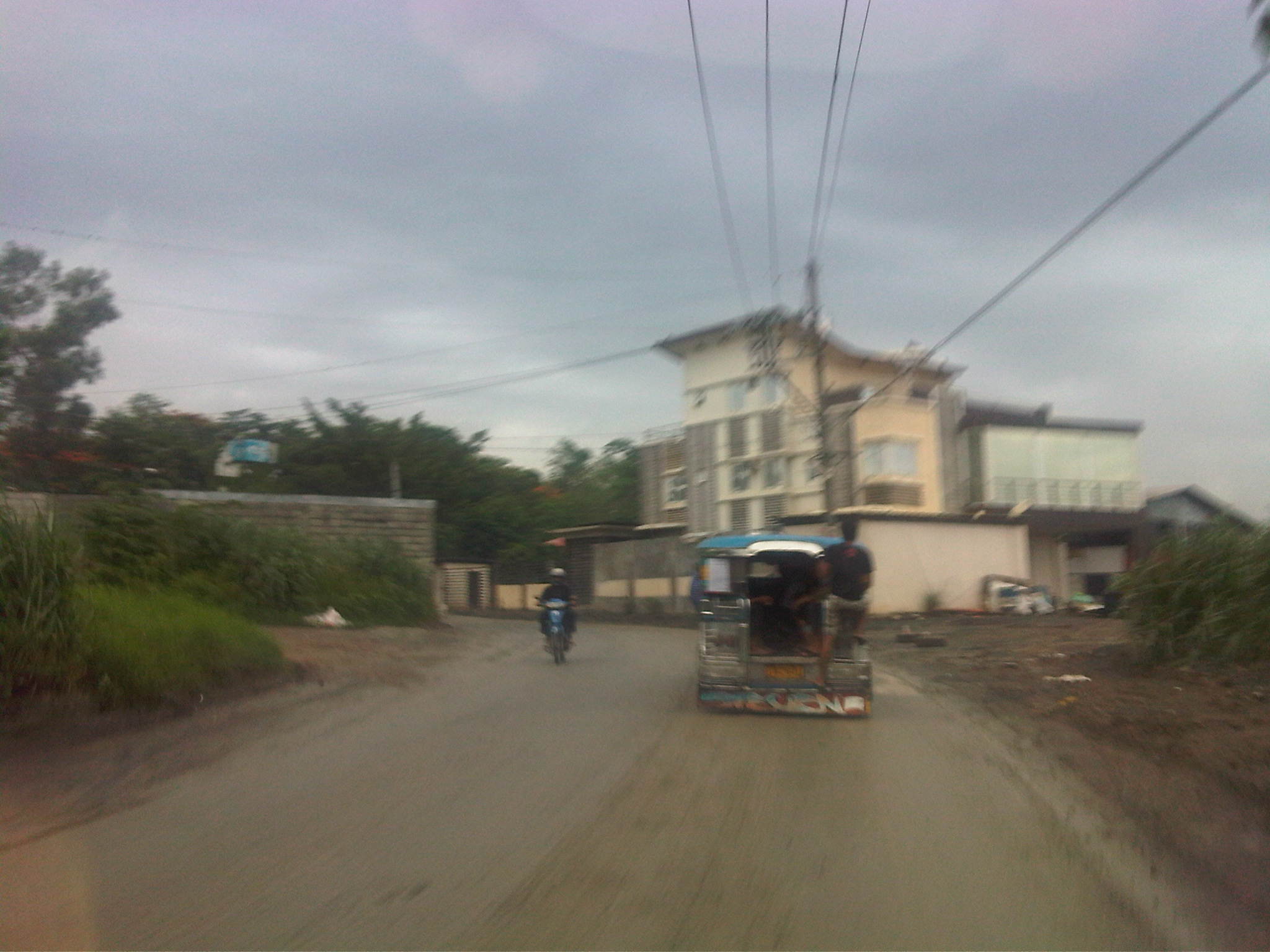 At the edge of one of the curves is a house with modern style architecture. A good landmark to guide travelers using the road.
 Some sections seem narrow due to the walls built to keep people out of the watershed area and the encroachments on the other side of the road.
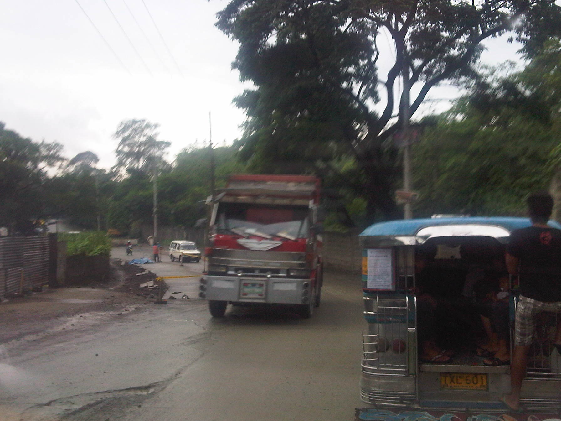 There were no proper drainage along the road and many sections have poor pavement conditions.
 What appeared as drainage works were actually part of the concrete “re-blocking” for the road.
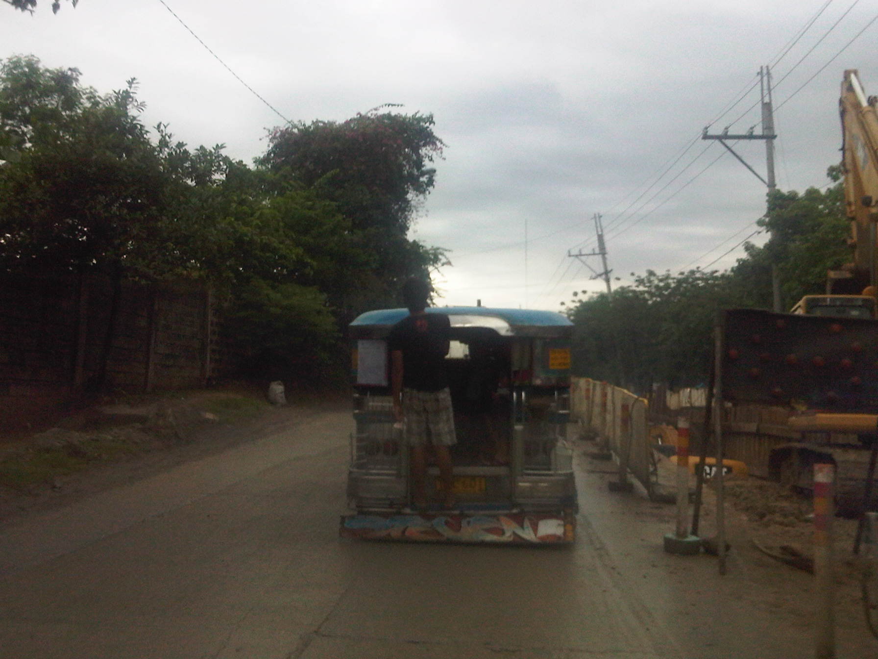 There were also waterworks along the road when we passed through.
 Such waterworks being undertaken often lead to traffic congestion as road space is constricted.
 The road has poor drainage along many of its sections including this section near a gas station where muddy water pools in the middle of the road. Such instances induce drivers and riders to encroach upon the opposing lane as shown in the photo above.
 There are many junk shops along the road owing to its proximity to the Payatas open dumpsite.
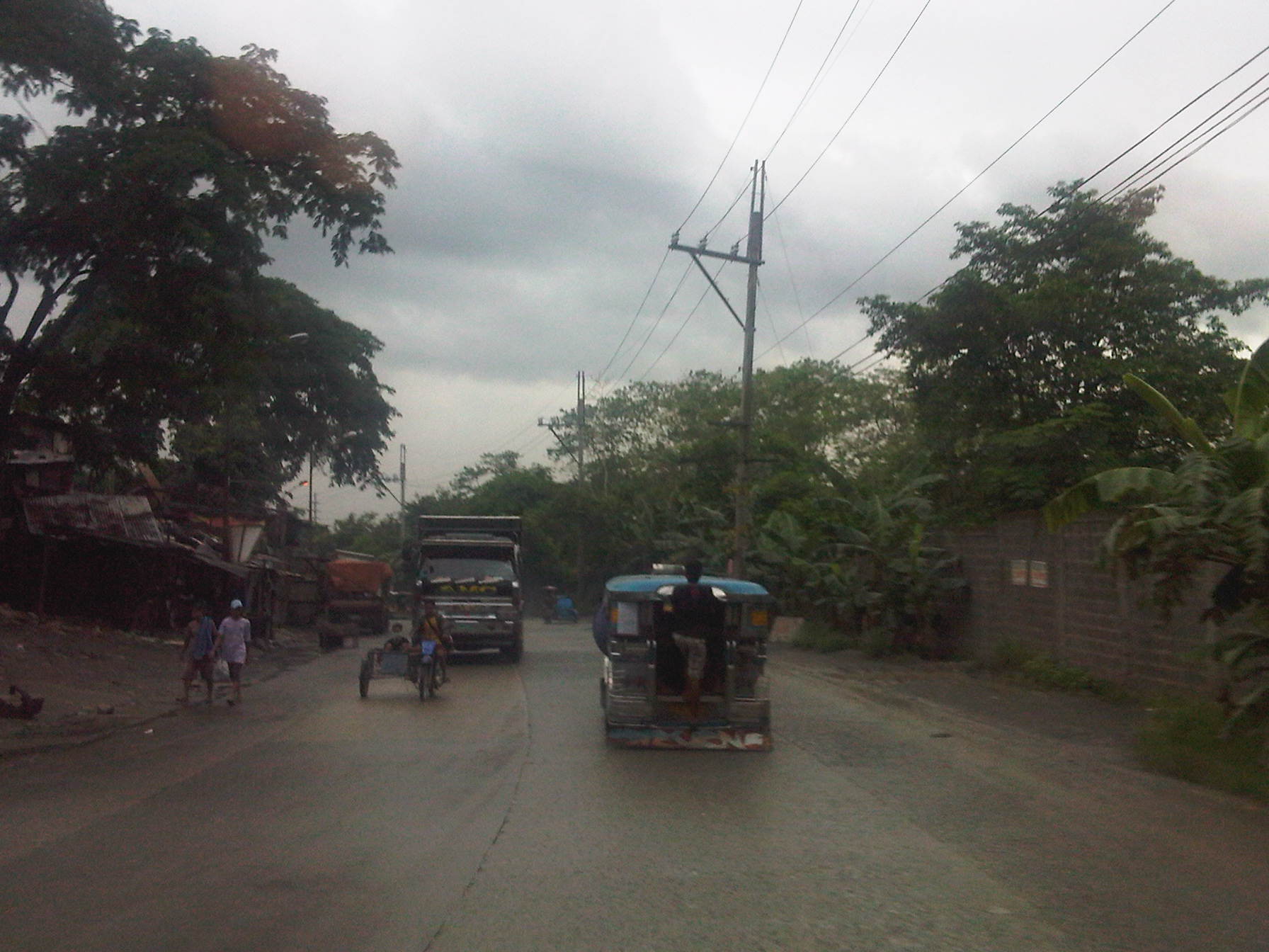 End of the road where Payatas Road ends and becomes the Manila Gravel Pit Road.
–
Batasan-San Mateo Road
The Batasan-San Mateo Road is one of two roads directly connecting Metro Manila (through Quezon City) to the northern towns (San Mateo and Rodriguez) of Rizal Province. One end of the road is at the junction with the IBP Road that is the main access to the Batasan Complex, where the Philippine House of Representatives is located. The other end is at the junction with Gen. Antonio Luna, which is also known as the Marikina-San Mateo-Montalban Road.
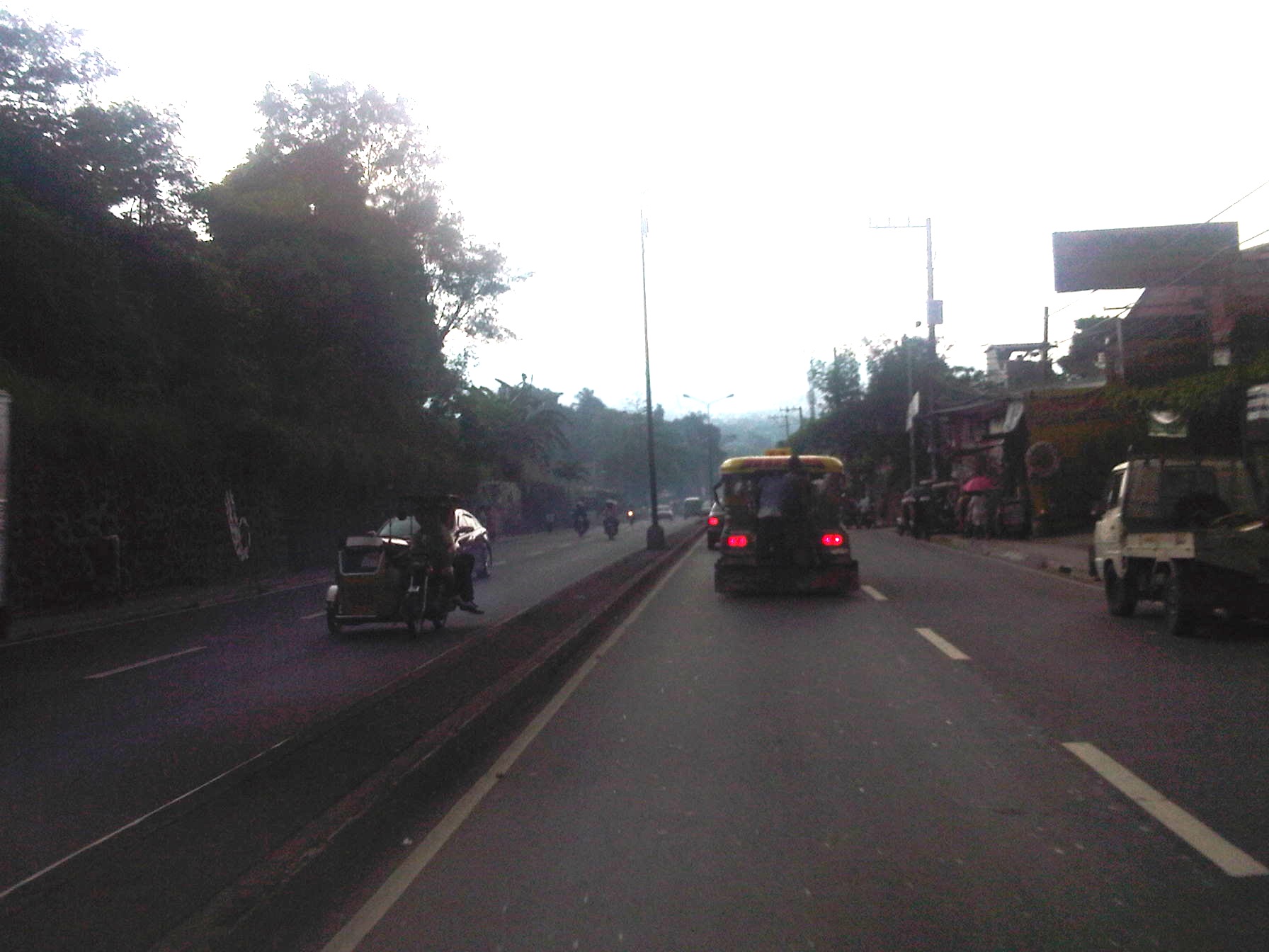 The road descends from the higher elevation hills of Quezon City and the Batasan area towards the Marikina River and the Marikina Valley.
 The road has 2 lanes along each direction and opposing traffic are separated by a narrow median island tht probably won’t stop larger vehicles should their drivers lose control and go towards the other side.
 Part of the road was carved out of the hill and this is clear from the sections where the rock or soil is exposed. This is similar to the way Ortigas Ave. in Pasig was constructed in the 1970’s out of the rock of the hills of Pasig and Mandaluyong.
 Traffic is generally light along this road but there are incidence of congestion uphill (to QC) due partly to the slope and in many cases due to trucks or tricycles.
 Lands on either side of the road are residential areas with a mixture of exclusive subdivisions, low income communities and informal settlers.
 A concrete bridge spans the Marikina River.
 The bridge is long and if traveling along the outer lanes, one can get a good view of the Marikina River and its flood plains. When traveling to QC, one would have a good view of the structures dotting the hills, which are mostly houses and shanties of different types.
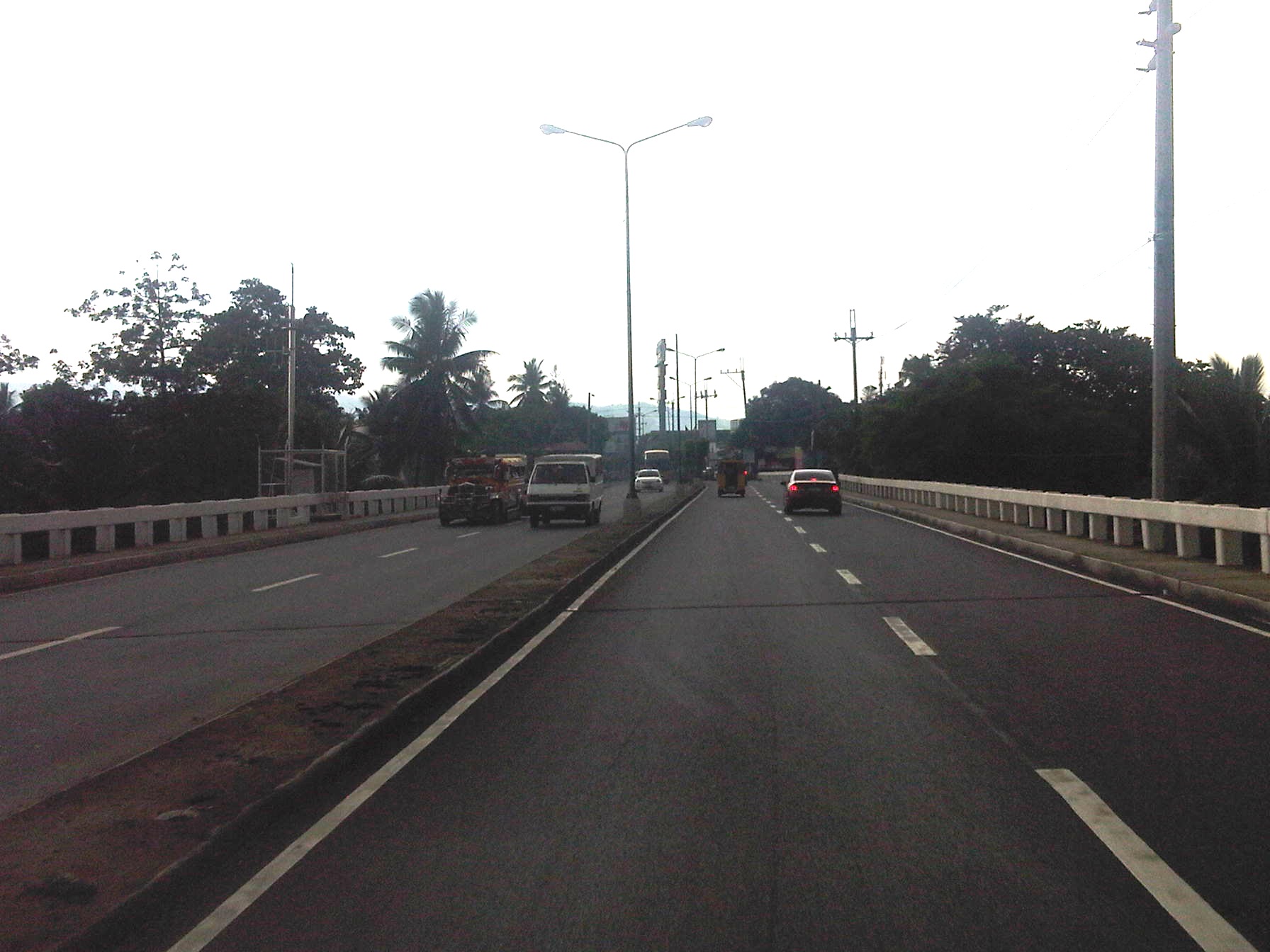 Jeepneys started plying routes along the road as it provided a shorter way between Metro Manila and the towns of San Mateo and Rodriguez as well as the northern barangays of Marikina. Travelers won’t have to pass through the traditional way via Marikina.
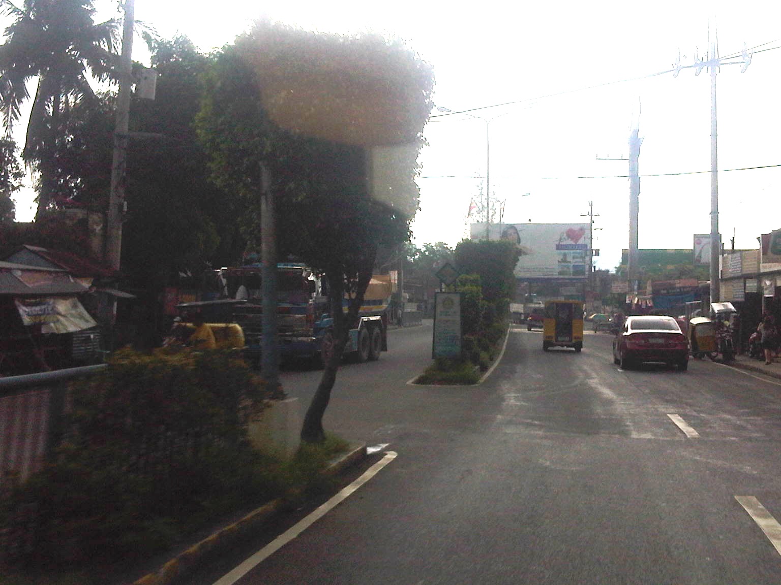 Median opening just meters away from the junction with Gen. A. Luna.
 End of the road – the junction with Gen. A. Luna, which is already in San Mateo, Rizal. Turning right takes the traveler to Marikina City while a left will bring one to San Mateo town proper and Rodriguez (Montalban) further on.
–
AGT at UP Diliman: some clarifications
There have been too many articles hyping a proposed transport system at UP Diliman. What seems like a DOST media blitz started with an article posted by Malaya Business Insight online that announced a project developing what was allegedly a train that’s the first of its kind in the world:
- FIRST OF ITS KIND IN THE WORLD; Trains to run on rubber tires [Malaya, June 18, 2012]
The article was inaccurate in many ways including the fact that there are already many such vehicles operating in public transport systems around the world including our ASEAN neighbors. Articulated buses can be seen regularly along the streets of Singapore and there are Bus Rapid Transit (BRT) lines in Jakarta and Bangkok. There are others in South America, most notably in Curitiba and Bogota. In fact, Cebu City is on the way to realizing the first BRT system in the Philippines with an FS already underway (Note: one can search the internet on articles and official statements on this project). Rubber-tired trains are not new, there are even automated or driver-less systems that have been operating in Japan, Europe and North America for quite some time now. Those who have been to Tokyo probably have ridden the Yurikamome. Among these are the following:
- DOST automated rail transport is back on track [People’s Television, June 19, 2012]
- Automated Transport System To Be Tested At Diliman Campus–DoST [Manila Bulletin, June 20, 2012]
- UP monorail project still on track-DoST [Philippine Daily Inquirer, June 21, 2012]
First things first. The prototype vehicle to be developed and tested will be an AGT and NOT a monorail. These two were proposed and discussions among DOST and UPD led to the decision to develop an AGT rather than a monorail. To support the project, a test track had initially been built on the DOST grounds as a “proof of concept” exercise. The “success” of the exercise apparently led to the decision to move forward and pursue full scale development and testing of a system. Thus, after several discussions with the UP System and UP Diliman a test track will be constructed in UP Diliman.
The test track will not be a fully functional system for commuting although the location will be conspicuous enough for those interested in the project. The alignment was also decided based on the potential for a full system to be built should it be found to be feasible. By feasibility, this meant that the environmental and financial impacts of such a system for the campus will have to be evaluated. In fact, one of the biggest questions that has still to be answered is who will pay for such a full system and whether it can sustain itself given the limited ridership in the area coupled with the limited supply the system can provide.
The test track will be constructed at the lot bounded by the University Ave in the north, C.P. Garcia Ave. in the west, Jacinto St. in the east, and the UP College of Fine Arts (CFA) and Campus Maintenance Office (CMO) in the south. This location is shown below:
 Map showing test track location and layout.
One idea already put forward before was the possibility of a full system being constructed along C.P. Garcia Ave., effectively connecting Commonwealth Ave. (at Philcoa) and Katipunan Ave. (near the National Institute of Physics). Such a system might be viable but it has to be two-way and with a fleet of vehicles to support the demand along the corridor. Perhaps stations along this line may be located at Philcoa, National Computer Center (between CHED and Phivolcs), the old Stud Farm, College of Engineering Complex (near the junction to the Hardin ng Rosas residential areas), and NIP (perhaps across it at the lot near the technology incubator?).
–
Montalban Highway
The Montalban Highway is located between the junction with J.P. Rizal Avenue in Rodriguez, Rizal (formerly known as the town of Montalban) and the junction with Payatas Road in Quezon City, Metro Manila. It serves as part of an alternate but somewhat longer (distance-wise) route between Metro Manila (via QC) and the northern towns (San Mateo and Rodriguez) of Rizal Province. The other route is through the Batasan-San Mateo Road, which also has a bridge crossing the Marikina River. While it is longer, it is often the less congested road and may perhaps offer faster travel (shorter travel times) between QC and San Mateo or Rodriguez. It is definitely the faster route to Montalban since travelers won’t have to pass through the town proper of San Mateo, which can get congested due to the local traffic and narrow roads.
 Turning right from J.P. Rizal and unto the QC-bound side of Montalban Highway
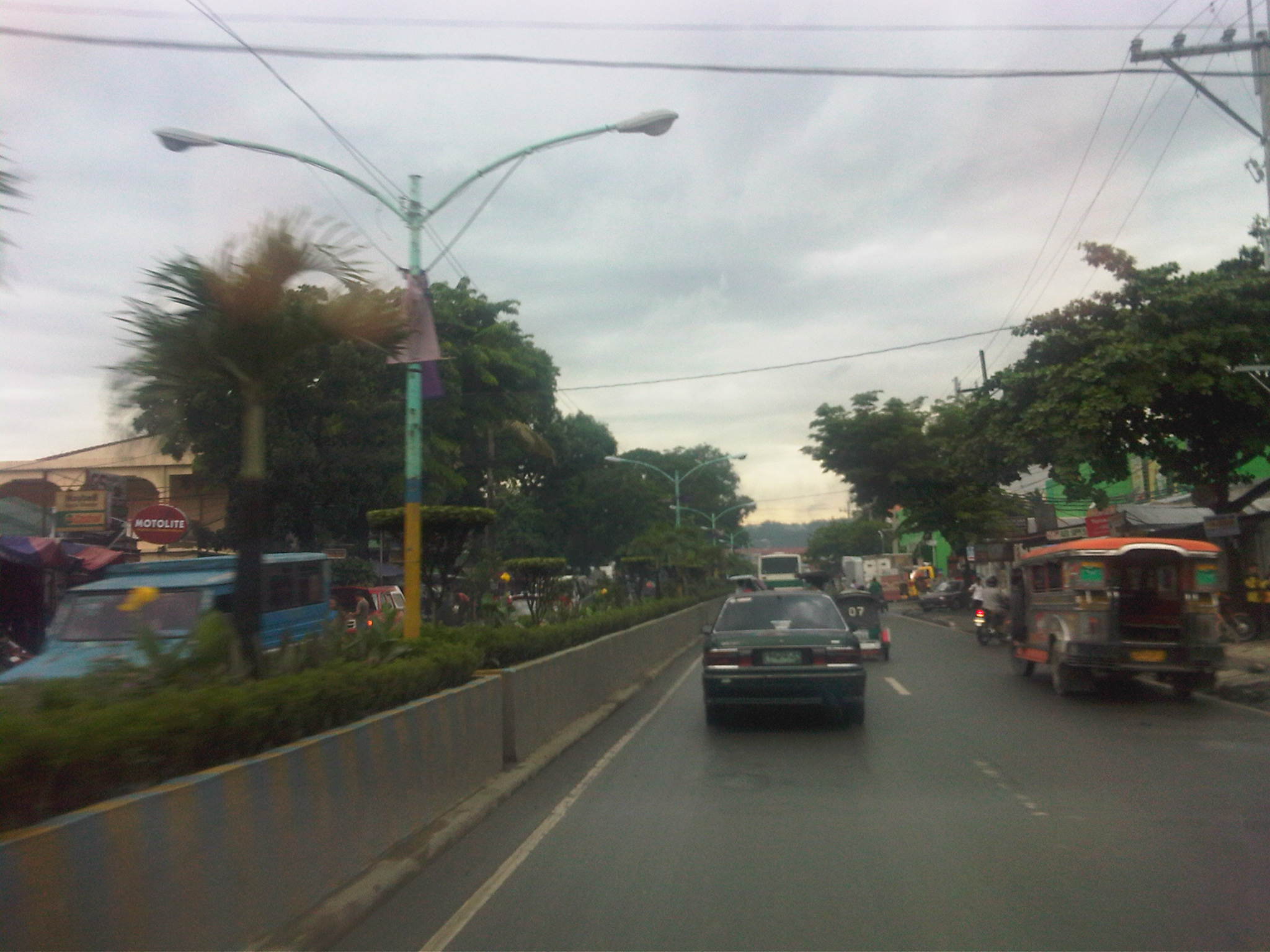 The road is a 4-lane/2-way highway with a median island with a plant box separating opposing traffic.
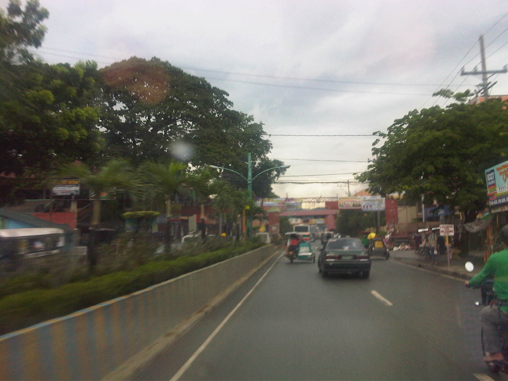 Traffic is a mix of cars, tricycles, jeepneys, buses, even bicycles and pedicabs.
 Along the highway is the Montalban Town Center, which has buildings on either side of the road midway through the highway. The buildings are connected by a covered elevated walkway.
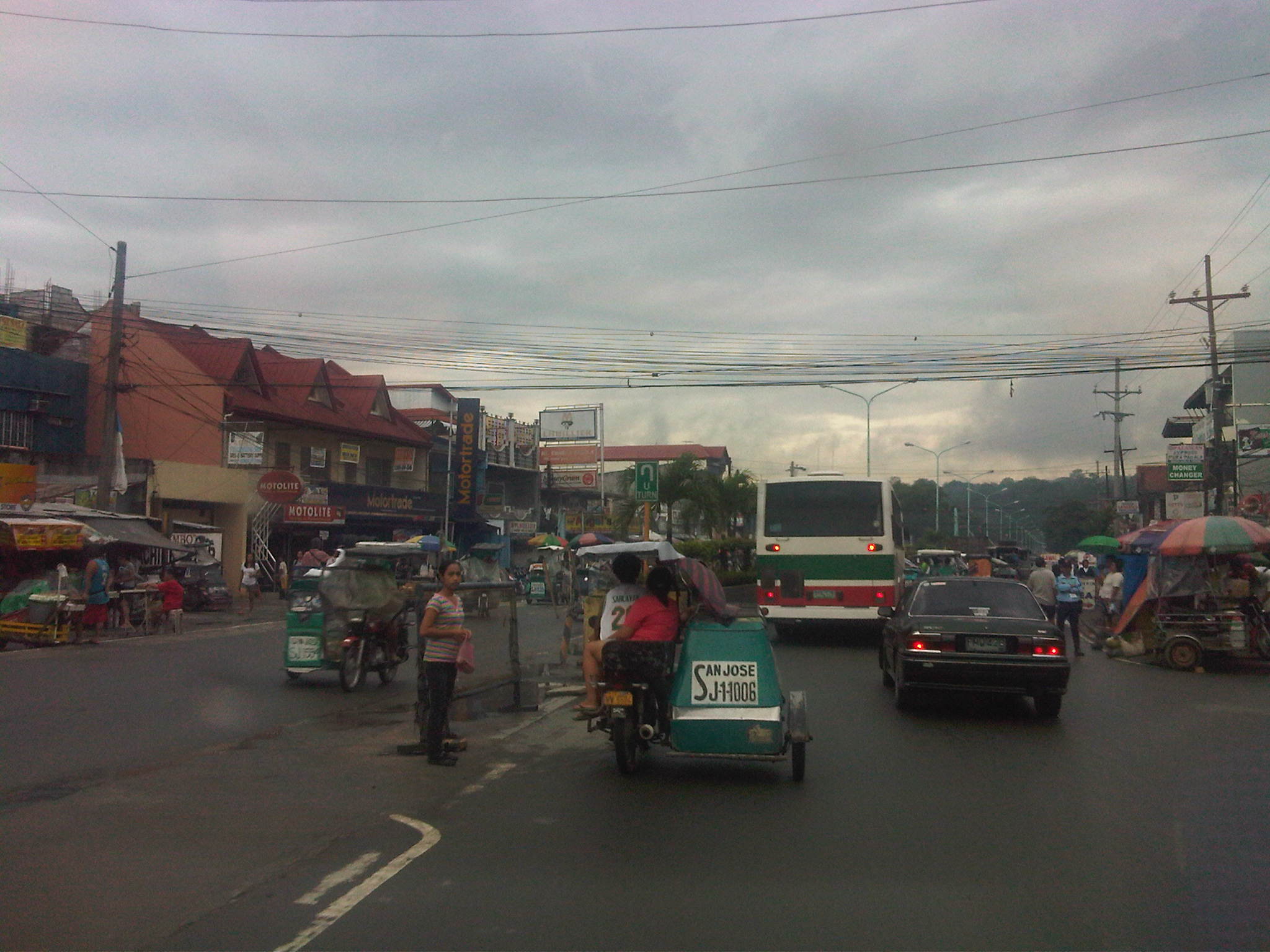 Past the town center is the Montalban Public Market and the area reminds of what Kalayaan Avenue in Makati City looked like before it was widened.
 We couldn’t understand exactly what the tagline “committed to change with honor” really meant, especially when it’s placed together with the sign for the market.
 Tricycles easily clog up the highway with many trying to get passengers by slowly traveling along the curbside.
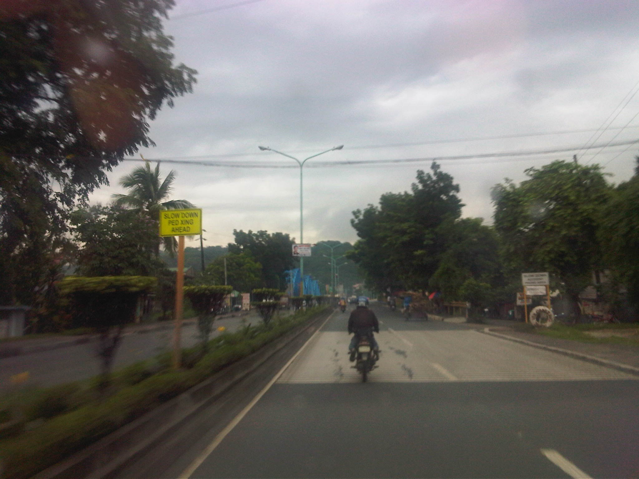 Past the commercial/market areas, traffic is free-flowing.
 Approach to the San Jose Bridge crossing the Marikina River
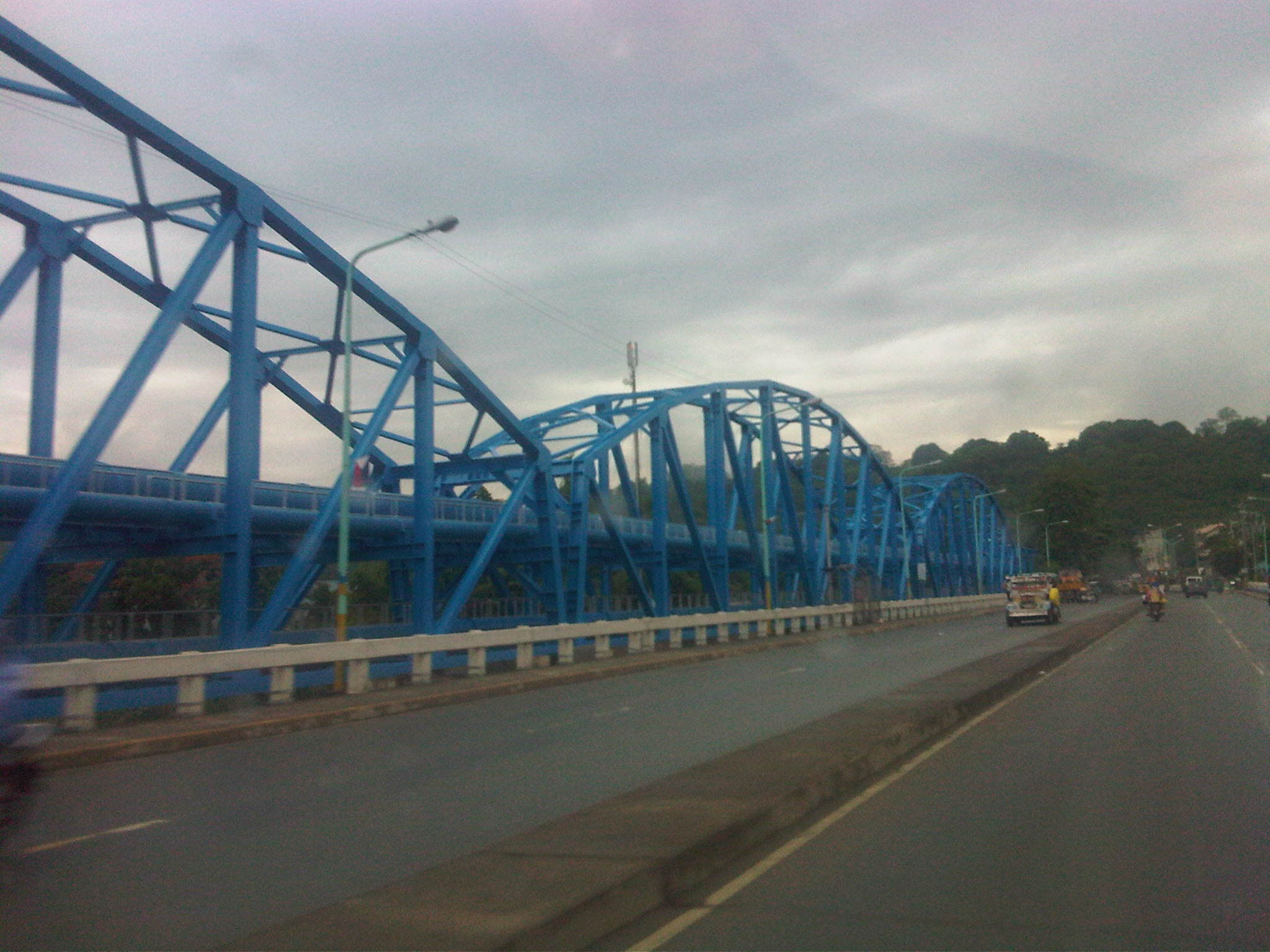 There’s a steel structure alongside the bridge that carries water pipes. From distance, the structure together with the bridge makes it look like the San Jose Bridge is a steel structure.
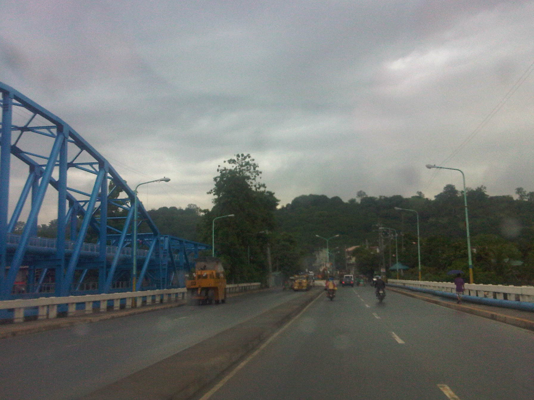 What looks like a hill at the end of the highway is actually part of the La Mesa Dam reservoir and watershed.
 After crossing the bridge, traffic is still light but vehicles generally slow down as they approach the end of the highway where there is a junction.
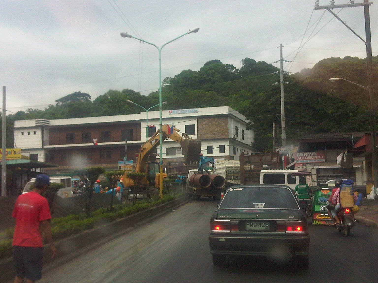 It turned out that vehicles were also slowing down due to major waterworks being conducted at the intersection of Montalban Highway and Payatas Road.
 A closer look at the pipes being laid out in the area when we passed by this June.
–
Dike roads and other local roads along the Tarlac River
While doing recon for a project in Tarlac, we inspected several areas where local roads were being used as alternate routes to national highways. Many of the local roads where categorized under Provincial or City Roads but were usually and obviously lower in quality when compared with their national counterparts. In many cases, the asphalt or cement concrete surface has been badly weathered and motorists won’t be able to avoid one pothole after the other.
The following photos were taken along the east dike road of the Tarlac River. The dike is not so conspicuous when seen from the main road during summers. This is in part due to the river usually having little water flowing due to the lahar that accumulated there from Mt. Pinatubo’s destructive eruptions in 1991. It’s a different case during the wet season when the river can overflow due to the amount of rainfall usually brought about by typhoons.
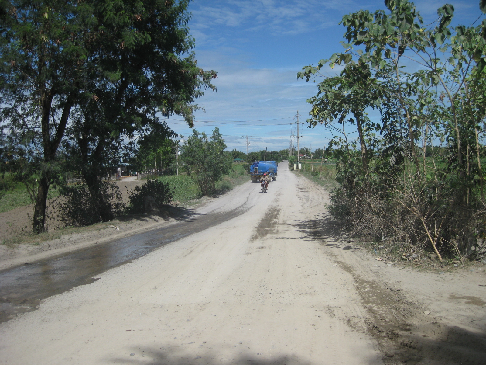 Dirt road from the town of Gerona, Tarlac
 Trucks hauling sand from the riverbed a few hundred meters from our location
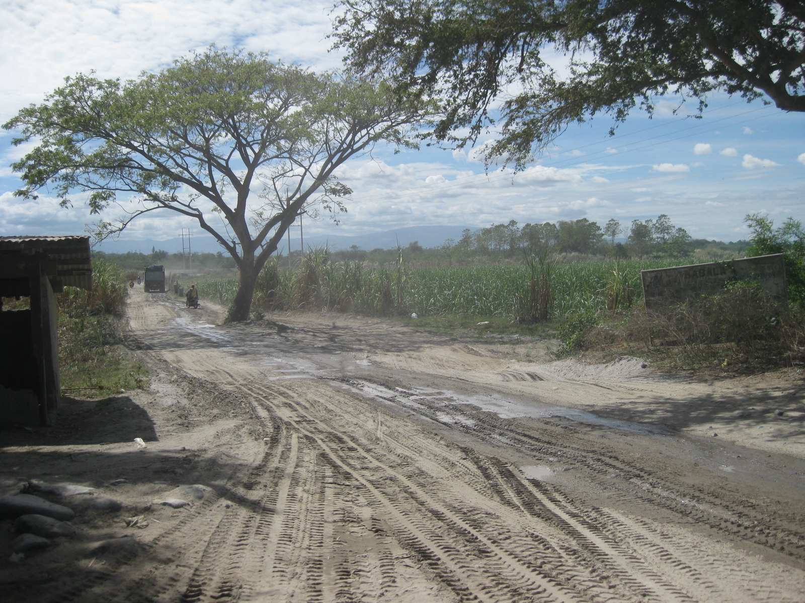 Dirt road access to the riverbed where sand for construction is extracted
 A preview of the dike road on the eastern flank of the Tarlac River
 Mad rush? – a truck overtakes another to get to the sand quarry site first
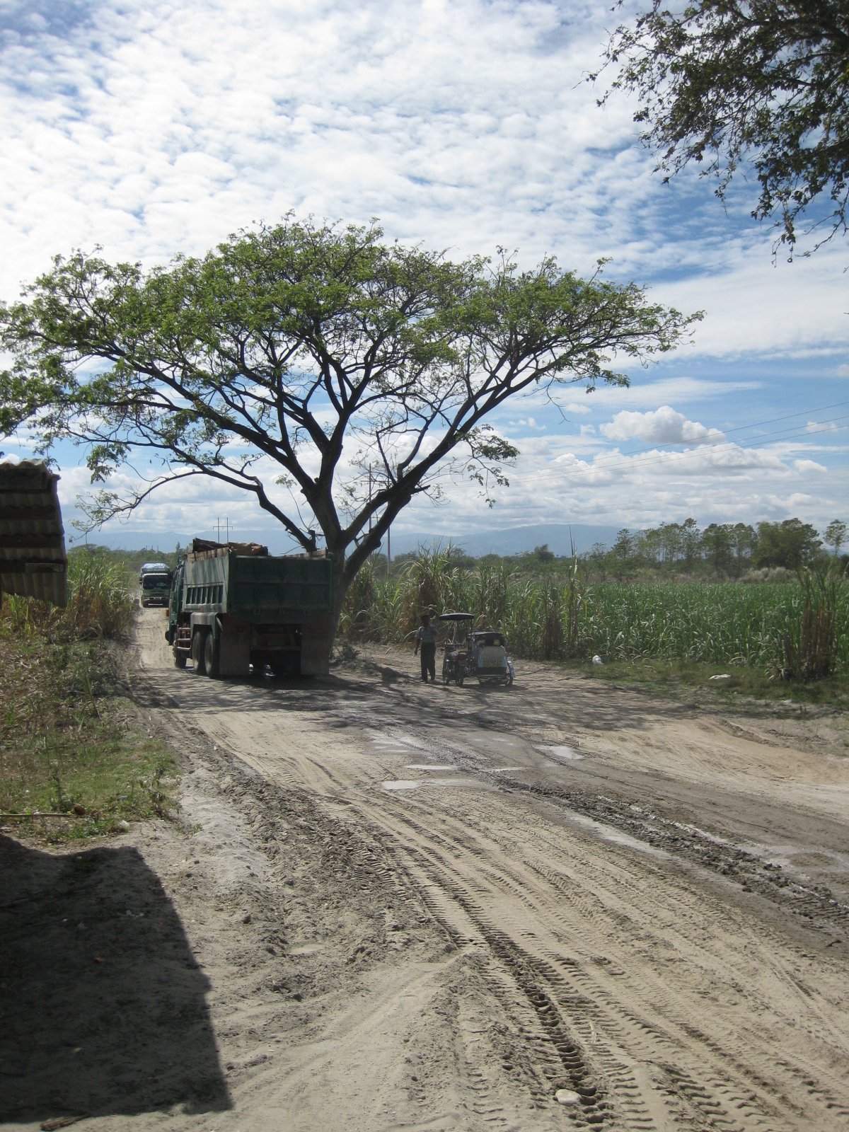 Truck counter-flowing at the tree that serves as a median island of sorts. It’s likely the truck driver made the decision to bypass what looked like a stalled tricycle beneath the shady tree.
 Typical light traffic to the sand quarry
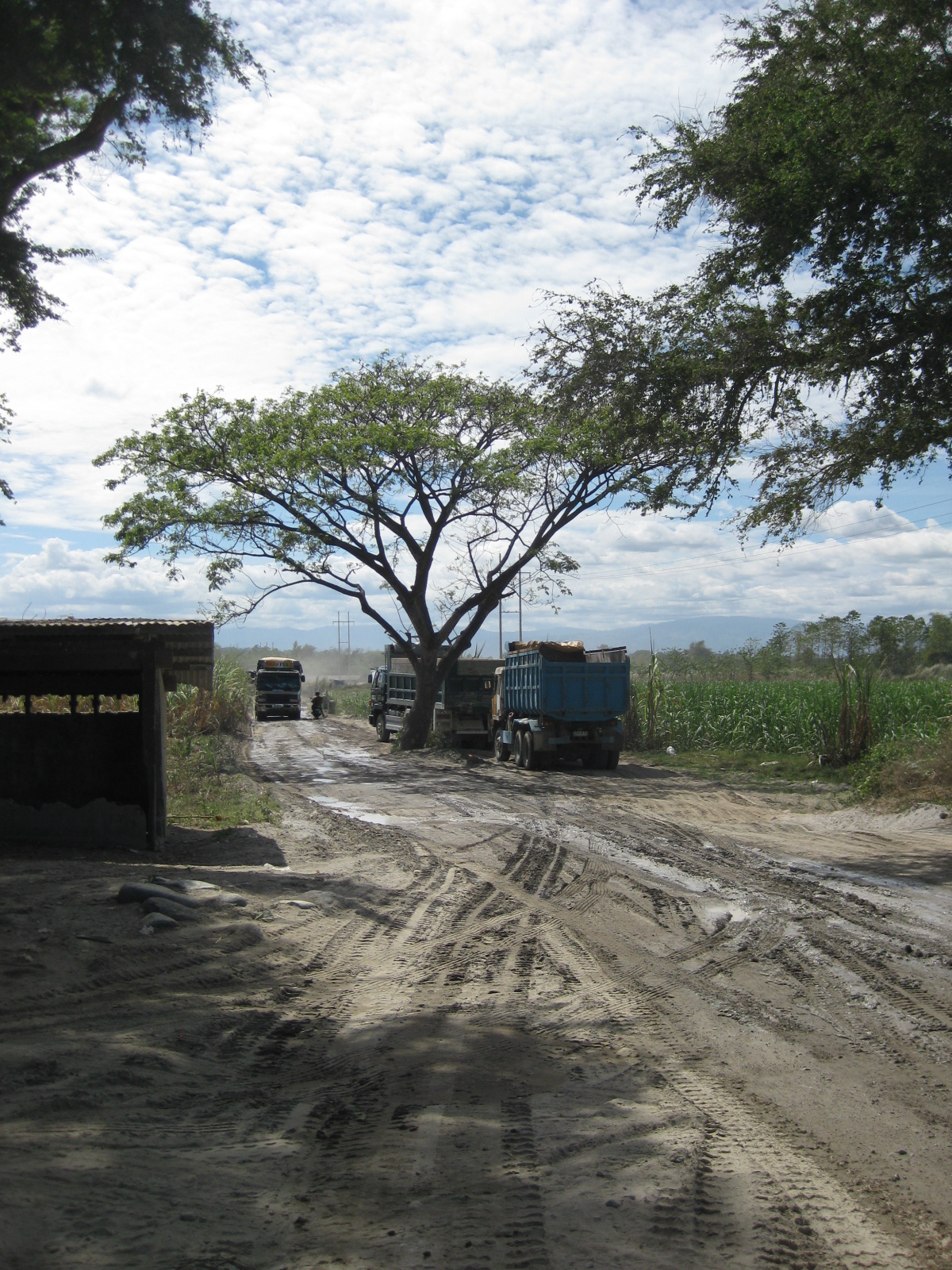 Two-way traffic along the dirt road with the tree serving as a sentinel of sorts.
 Local roads in a community along the westbound extension of the Gerona-Guimba Road (west of Gerona town proper from the junction with McArthur Highway) – the photo shows the extension as seen from a diversion road that leads travelers north towards the bridge to the town of Camiling from Paniqui.
 Concrete roads are used as solar driers for palay and other items (e.g., coconut husks, barbecue sticks, tingting, etc.) can occupy much of the road in areas where there is very low traffic during the mid-day.
 In such cases as above, motorists have no choice but to drive over the palay.
 Local roads are paved and conditions are excellent but have practically no shoulders all throughout their lengths.
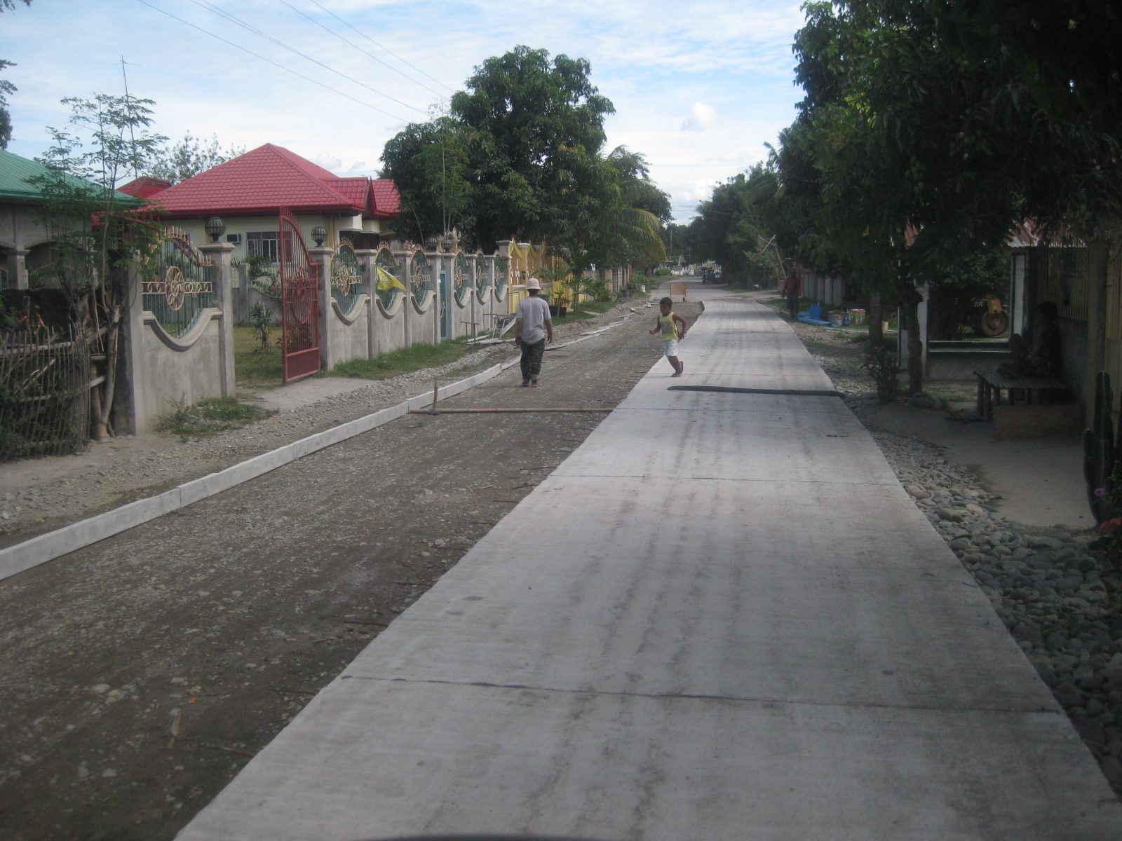 These used to be dirt roads but the local governments, likely with the assistance of the local congressman, seem committed to having them concreted.
 Some sections are a bit narrow and could fit two tricycles passing each other but could be a challenge with larger vehicles. Such widths though are good enough for such low traffic volume roads.
 Both sides of the road are inhabited and have been planted with flowering plants (e.g., bougainvillas, santan, gumamela, etc.). Bananas are quite easy to grow and bear fruits almost immediately and productively.
 End of the paved part of the dike road – from this point, its a dirt road until just before the junction with the Paniqui-Camiling Road.
 The face of the dike is visible on the right side in the photo. I like this photo and the previous one because they show the vastness of the Tarlac River that have been covered with lahar.
 I got curious about the cultivation along the riverbed and our driver told us these were onions that were able to grow on the thin soil.
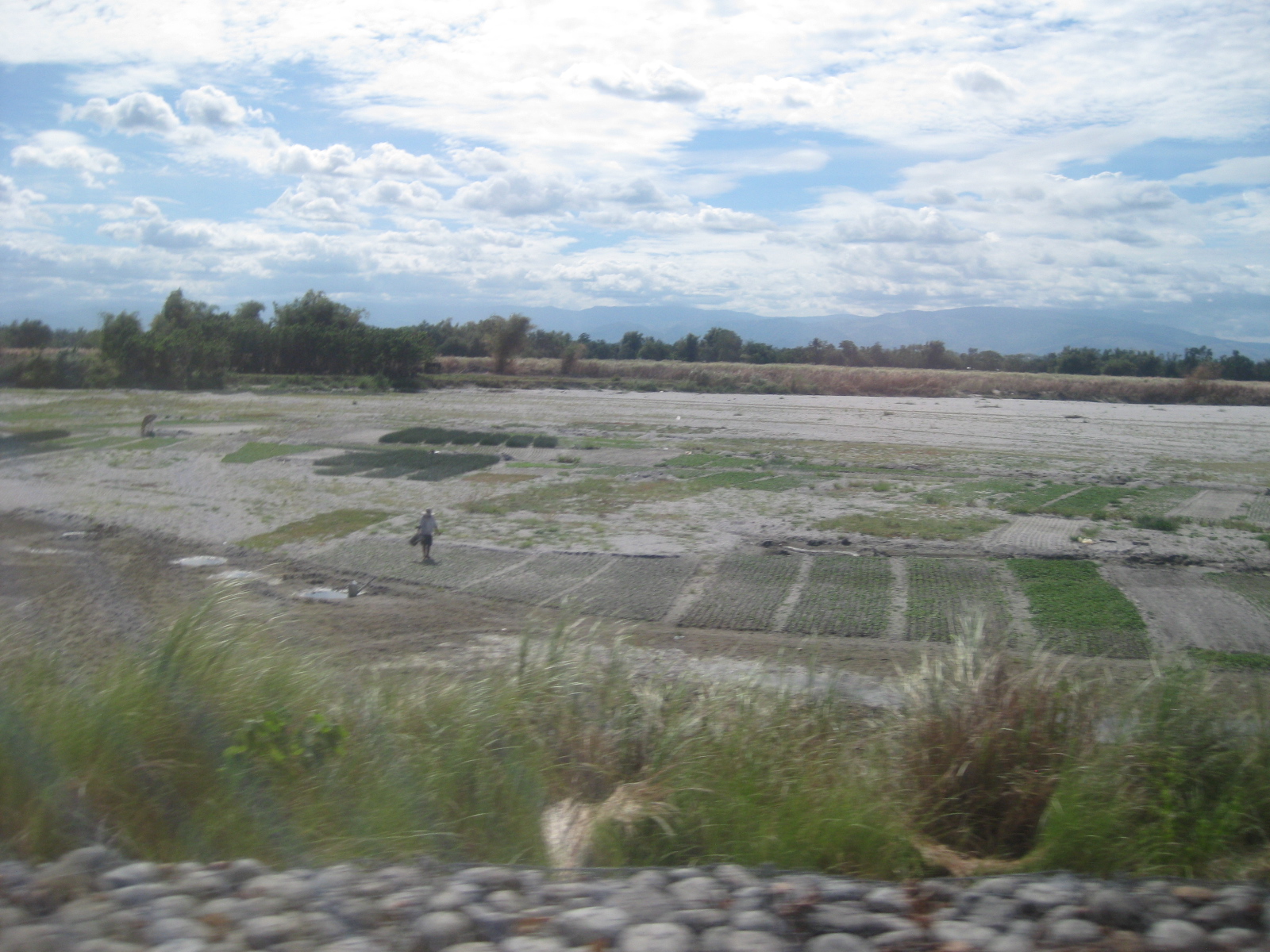 Another look at the onion plantations along the Tarlac Riverbed
 The Paniqui-Camiling Road at the north end of the dike road
–

