
Sumulong Highway: Marikina to Masinag
Sumulong Highway stretches from its intersection with A. Tuazon Ave. and A. Bonifacio Ave. in Marikina City, Metro Manila to the intersection with the Taktak Road or M.L. Quezon Ave. in Antipolo City in the Province of Rizal. It serves both as an arterial (for Marikina and Antipolo) and a feeder (with respect to Marcos Highway).
The following photos show the stretch from Marikina to Masinag that shows typical conditions along the highway. These conditions are quite different from those along the stretch from Masinag to Taktak Road in upper Antipolo City.
 Sumulong Highway has a total of 4 lanes (2 per direction) but a lack of pavement markings make it difficult to ascertain the center of the road and the space allocation for traffic. This makes travel less safe as motorists assume they are traveling along the correct space on the road.
 The asphalt-surfaced road has no lane markings but has very good pavement conditions. There is also significant on-street parking as most establishments along the highway have no adequate off-street parking spaces. The section shown above is right in front of a sabungan or coliseum for cockfights.
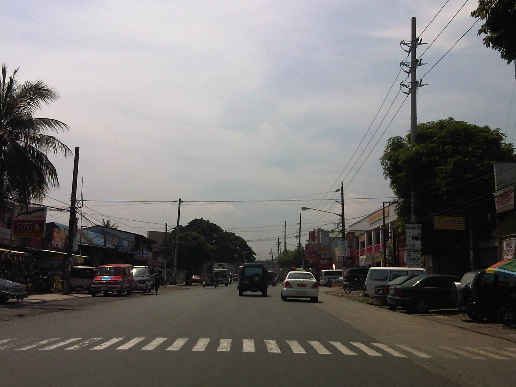 There are pedestrian crossings though, near intersections and where there are schools along the highway.
 Only the traffic lanes have asphalt overlay, the shoulders have the concrete surface exposed thereby distinguishing them from the traveled way.
 The shoulders are used as parking spaces for establishments along the highway as shown in the photo. Such practices are also common along national highways around the country.
 Even the barangay hall of Bgy. Mayamot utilizes road space for parking as shown in the left. The Mayamot Barangay Hall is see on the left in the photo. This effectively reduces road capacity leading to traffic slowing down at such sections.
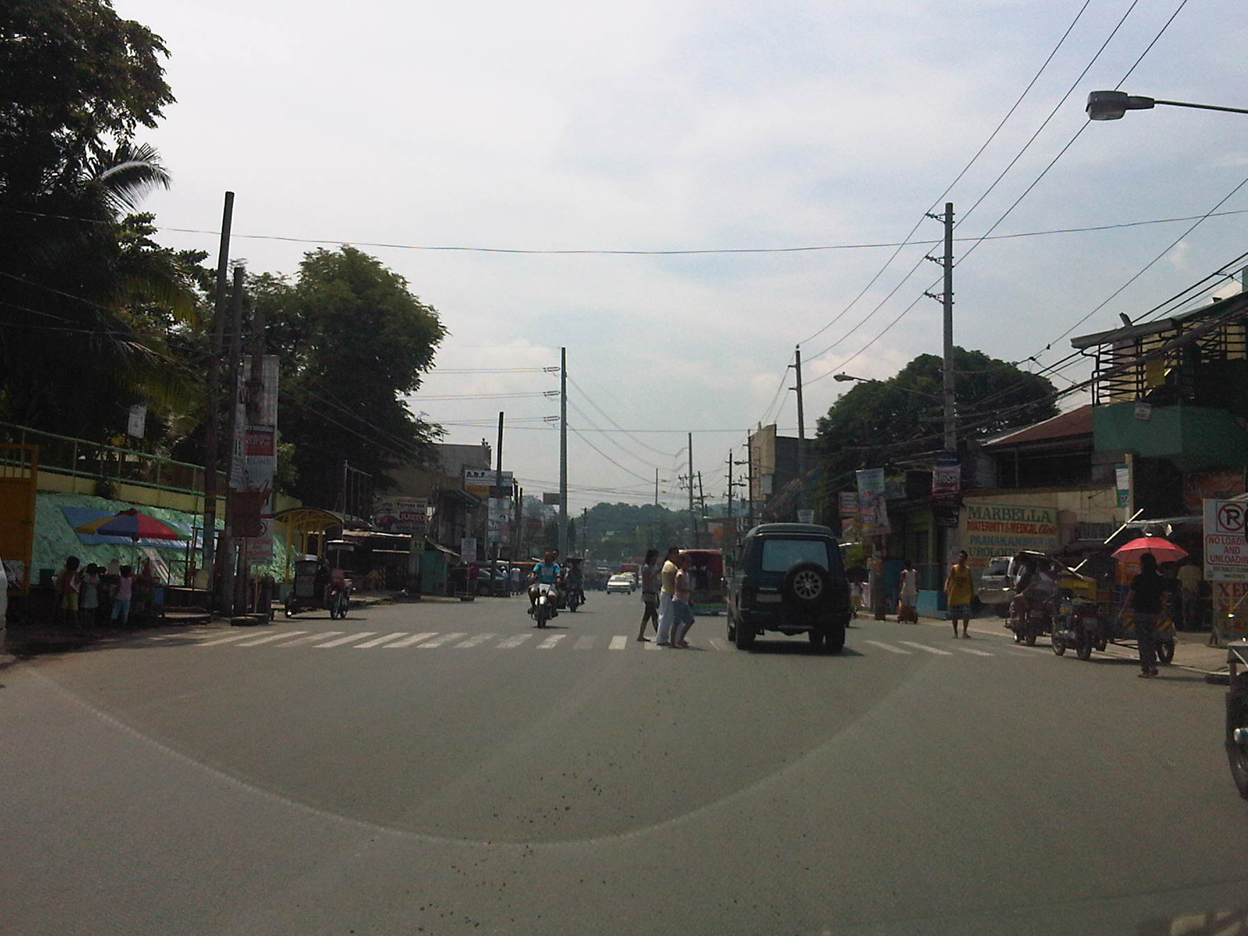 Another pedestrian crossing, this time in front of a public school right after the barangay hall.
 Some sections have sidewalks for people to walk along but these are also usually blocked or occupied by stuff from the establishments along the street.
 Waiting shed along the highway. I could not say its typical because the more recent ones usually have names or initials of politicians on them. This shed is likely to be old and uses clay tiles for roofing.
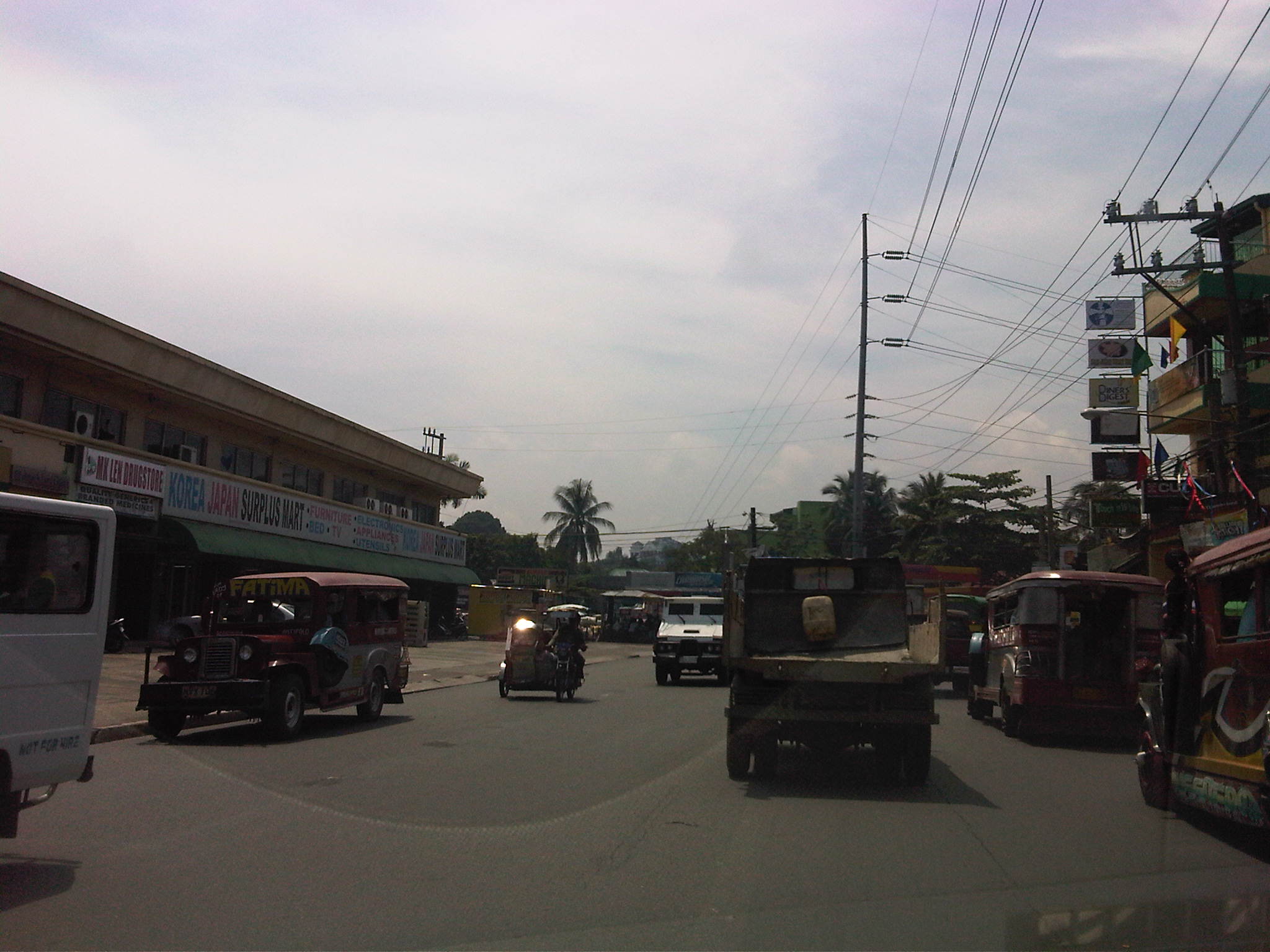 There are also tricycles along the road due to the sidestreets and subdivision entrances connecting to the highway. Public utility tricycles are supposed to be prohibited from using national roads but are common in most provincial areas and CBDs where they are the main mode of transport. In this case, tricycles should be prohibited from using the highway as they are already competing with jeepneys, serving larger areas aside from what should be individual subdivisions or residential districts.
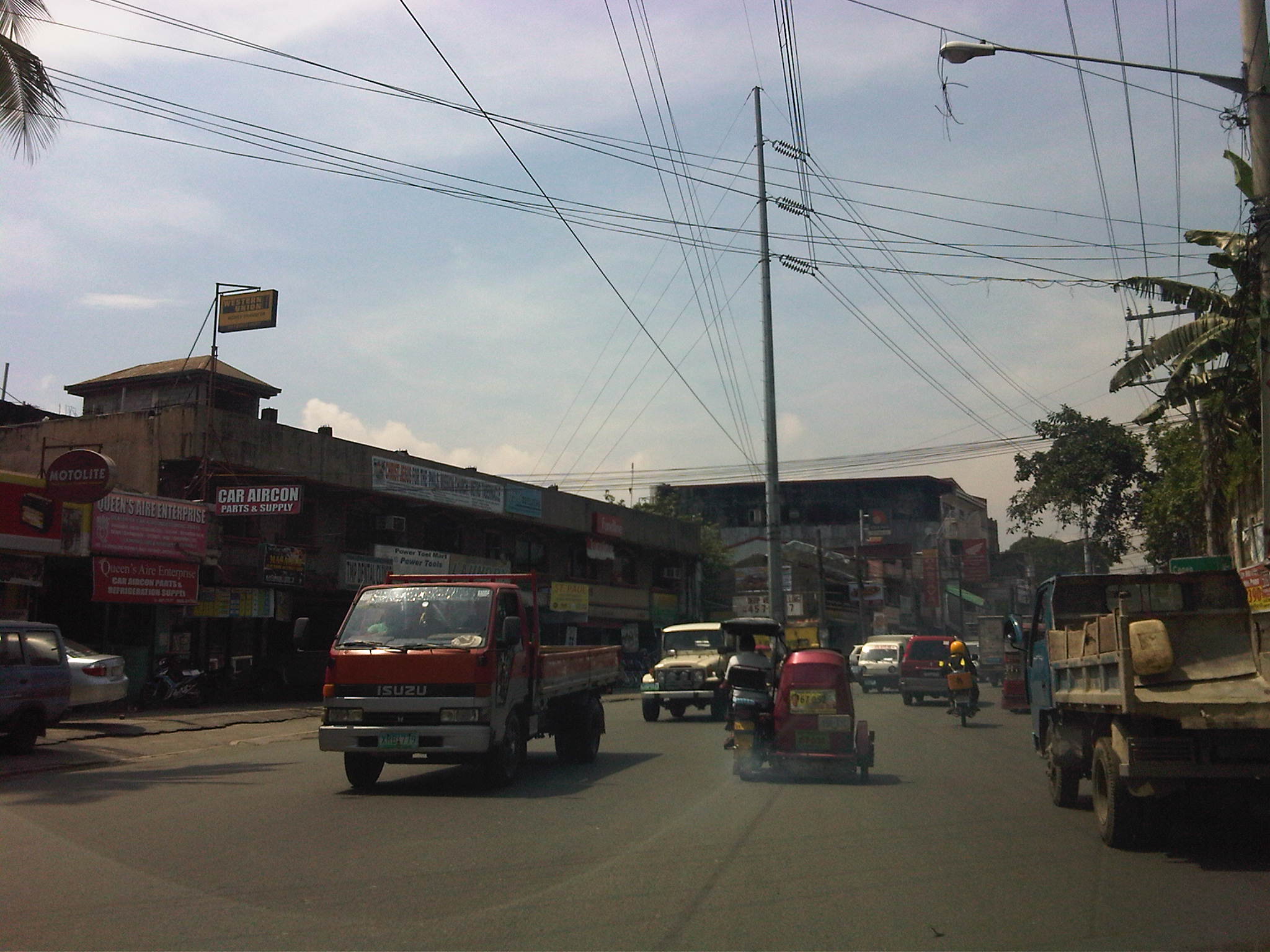 There are many auto repair and supply shops along this stretch of Sumulong Highway. Such shops typically have many customers who also park along the highway, often occupying road space and causing congestion.
 Approaching the Masinag junction, which is the intersection of Marcos and Sumulong Highways, one sees more commercial establishments on either side, mostly small stores or shops. At the junction is the Masinag Wet Market, which is now in decline after major commercial developments have been constructed in the area including the most recent SM City Masinag.
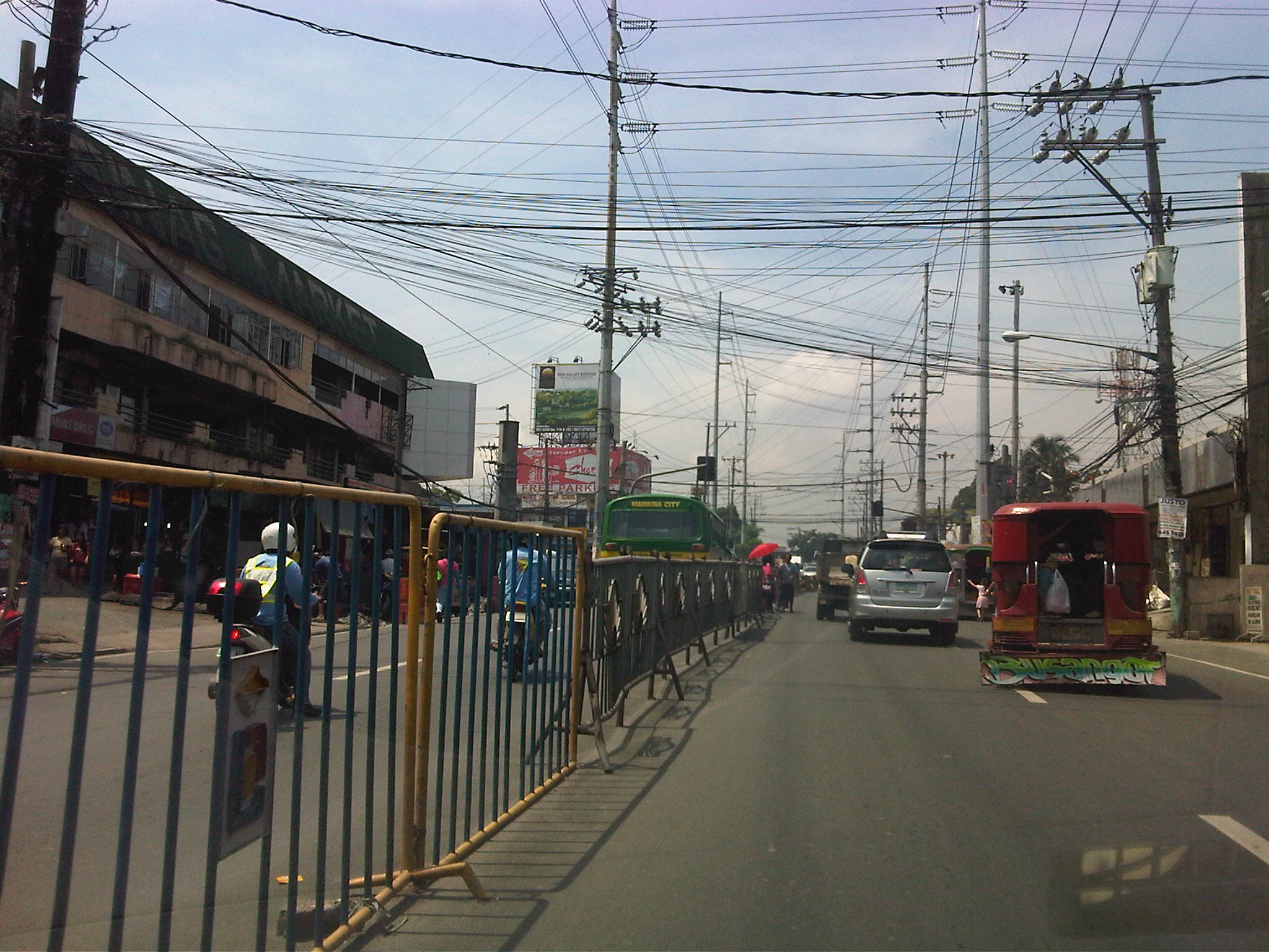 Steel barriers placed along the center of the highway to discourage jaywalking – some barriers have been moved by pedestrians to create space for illegal (and risky) crossings such as what is seen just downstream in the middle of the photo (notice the person with the red umbrella?).
 Barriers forcing all traffic to turn right to Marcos Highway – seen across is the approach of Sumulong Highway from Antipolo
Portions of this section of Sumulong Highway are prone to flooding including the intersection with V.V. Soliven Avenue, which leads to SSS Village and other subdivisions. The more recent floodings were due to the heavy monsoon rains from a couple of weeks ago that effectively isolated residential areas in Marikina and Antipolo as vehicles could not exit the subdivisions to major roads like Sumulong and Marcos Highways. It’s quite interesting to note that the drainage systems along these roads including Sumulong have not been upgraded to be able to accommodate run-off from what is turning to be heavier rains due to climate change. Thus, it may be expected that the same sections will be flooded should there be heavy rains particularly due to typhoons and other major weather systems affecting Metro Manila and its environs.
–
NAIA 2 Arrival Sunduan
I took some photos of the NAIA Terminal 2 arrival area while waiting for my in-laws to arrive from Singapore via Philippine Airlines. Terminal 2, which is also called the Centennial Terminal after opening in 1998, the 100th year of Philippines’ Independence, is exclusively used by Philippine Airlines for both its domestic and international operations. The North Wing serves international passengers while the South Wing serves domestic passengers.
 Gate and fence separating the tarmac from the VIP parking area just behind the cafe at the international wing of NAIA Terminal 2 – I was actually taking a photo of the windblown coconut trees and the dark clouds generated by a slow-moving typhoon Gener.
 VIP parking area at the NAIA T2 that is near the gate access to the tarmac. The building in the background is what used to be the Philippine Village Hotel. The building has been unoccupied for many years now and is up for demolition and re-development along with the old Nayong Filipino theme park.
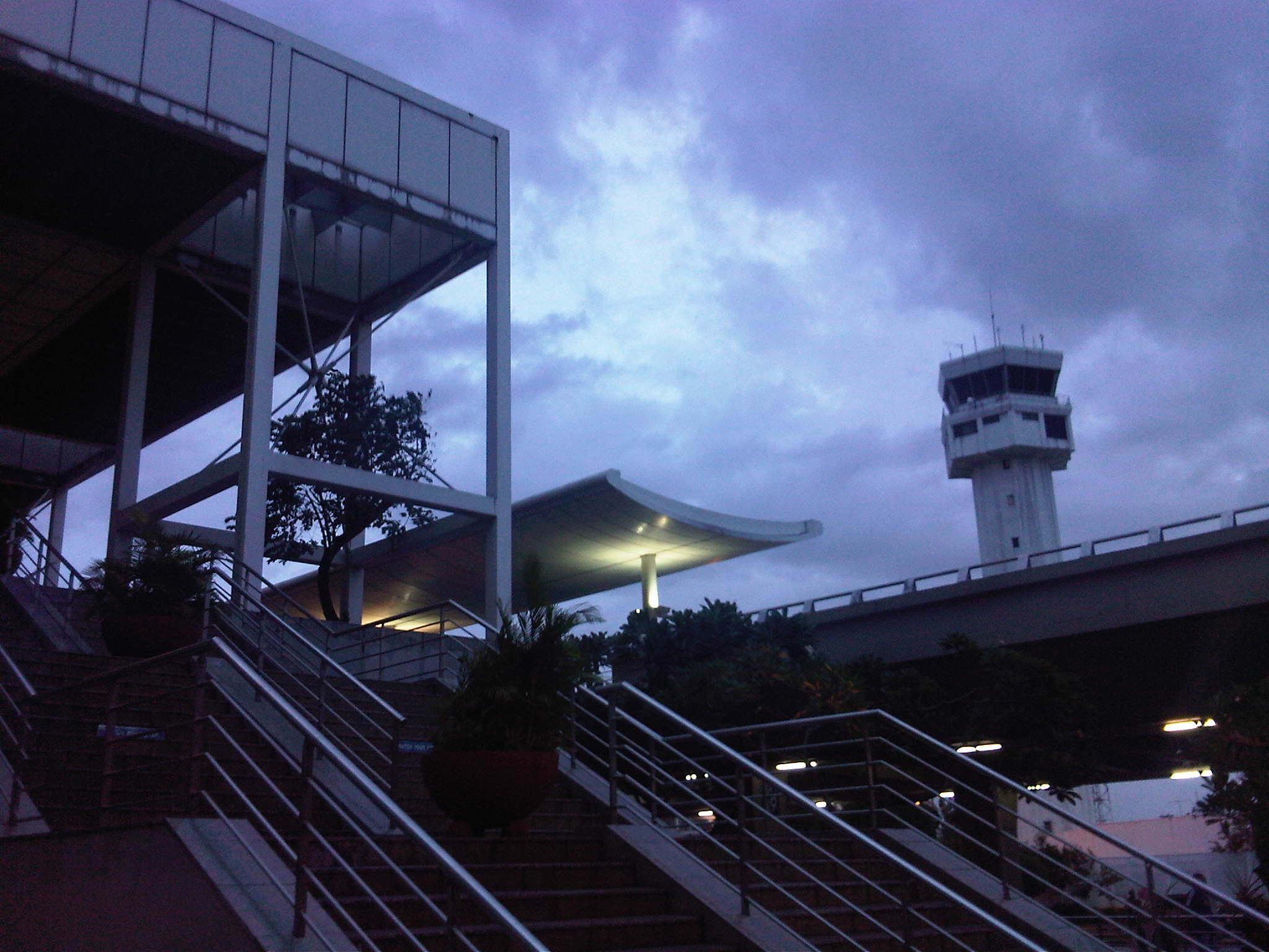 Stairs to the departure level of NAIA-T2 with the control tower in the background
 Cafe just outside the arrival level – I usually have a snack or tea at this cafe if I have time before the plane arrives
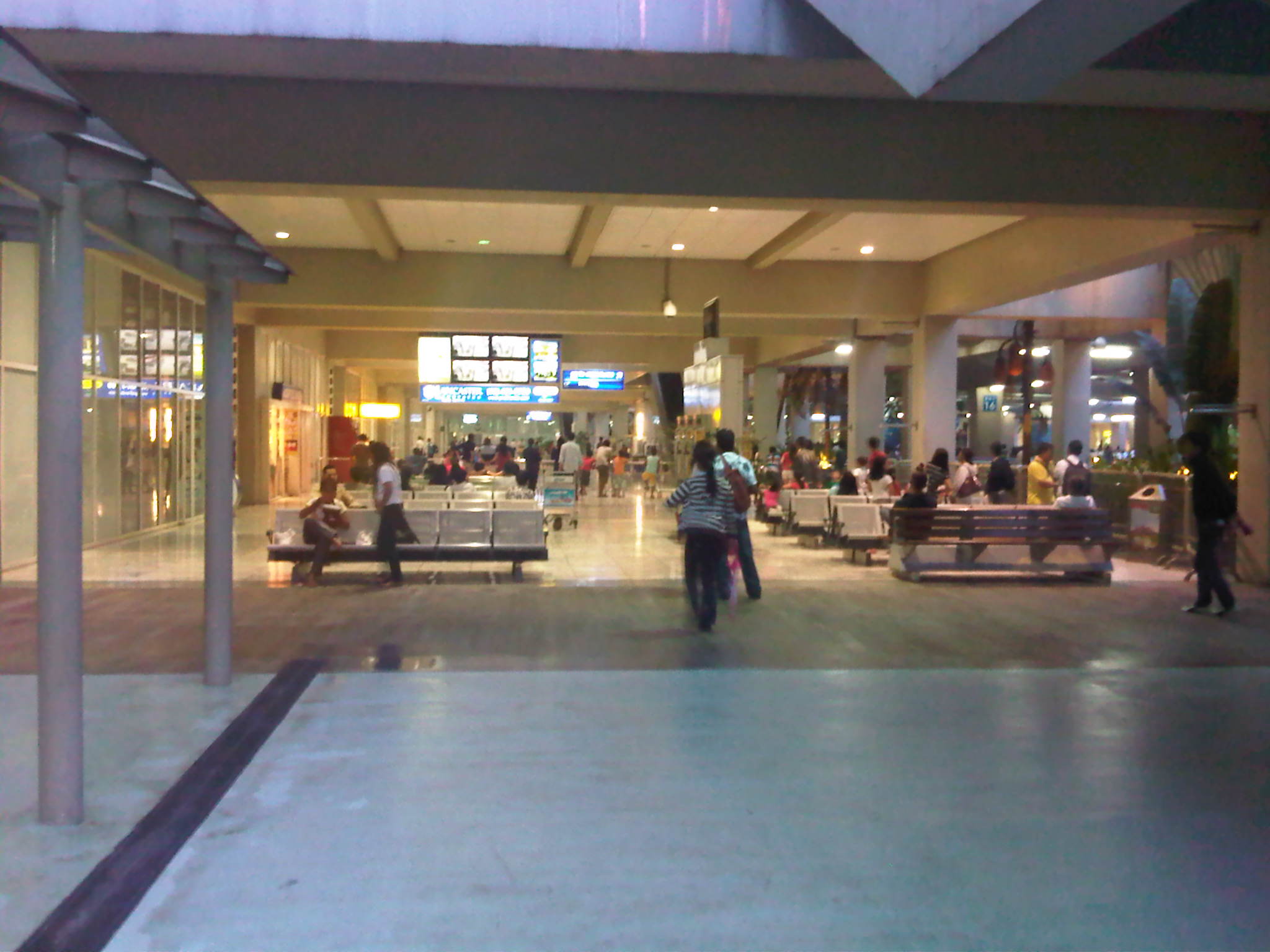 The waiting area has benches for people waiting for their relatives or friends
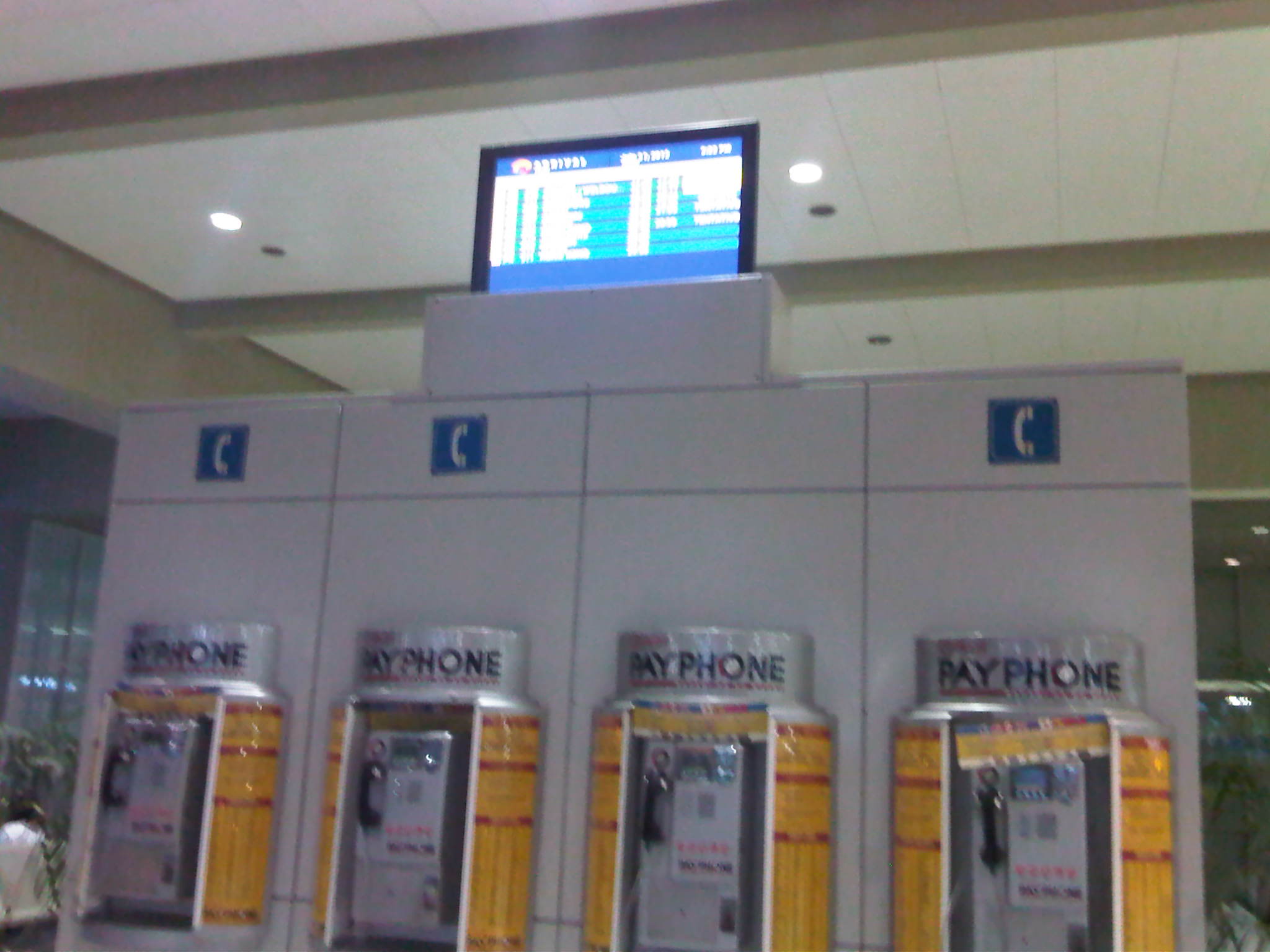 Small screen showing information on aircraft arrivals just above the public phones
 7Coffee shop and screens at the arrival area. This is the only shop in the area as the other concessionaire closed up months ago.
 The screens show passengers arriving at the baggage claim area inside the airport and as they exit from the customs checkpoints.
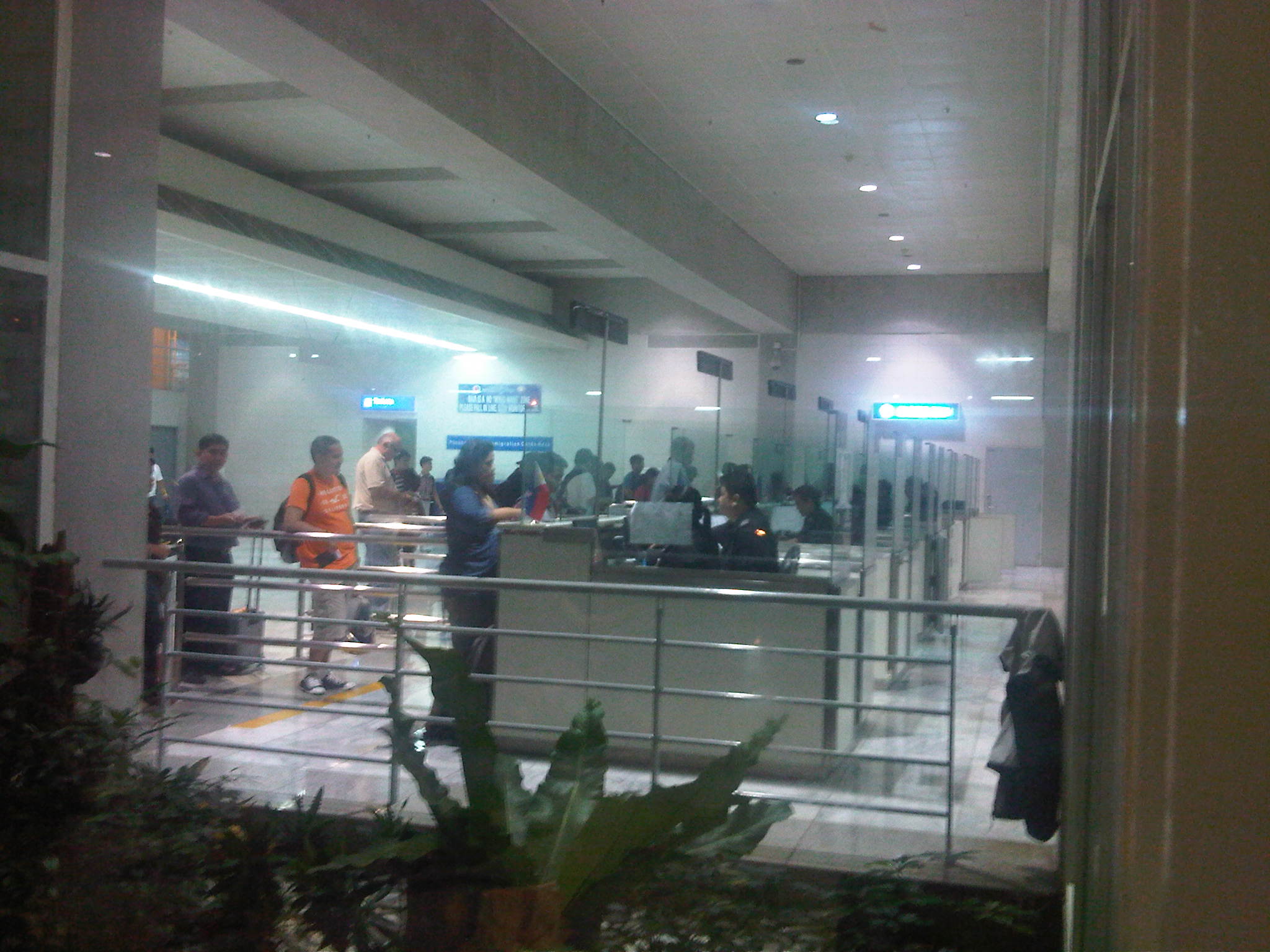 People could see passengers lining up at the immigration counters from the waiting area outside the terminal
 Spacious arrival concourse exclusive to passengers (well-wishers are not allowed here). The yellow sign indicates the small duty-free shop near the exit from the terminal building.
 Passengers transferring to the departure level can take the escalator shown in the photo. The escalator, however, seems to be always under maintenance and unavailable. There is another on the other end of the International Wing of the terminal.
–
Floods along NLEX and SCTEX
Making a day trip to Olongapo City for a consultation meeting for a study we are doing for the city, we passed by several flooded areas in the provinces of Bulacan, Pampanga, Bataan and Zambales. The floods have been brought about by the heavy rains of the past few days due to a tropical storm that battered the Northern Philippines. It didn’t help that monsoon rains in the previous week, which have left much of Metro Manila and the same provinces already poured in much water, saturating the soils and prolonging the floods and misery for people living in these areas. Following are a few photos I took as we traveled along the North Luzon Expressway (NLEX) and the Subic-Clark-Tarlac Expressway (SCTEX).
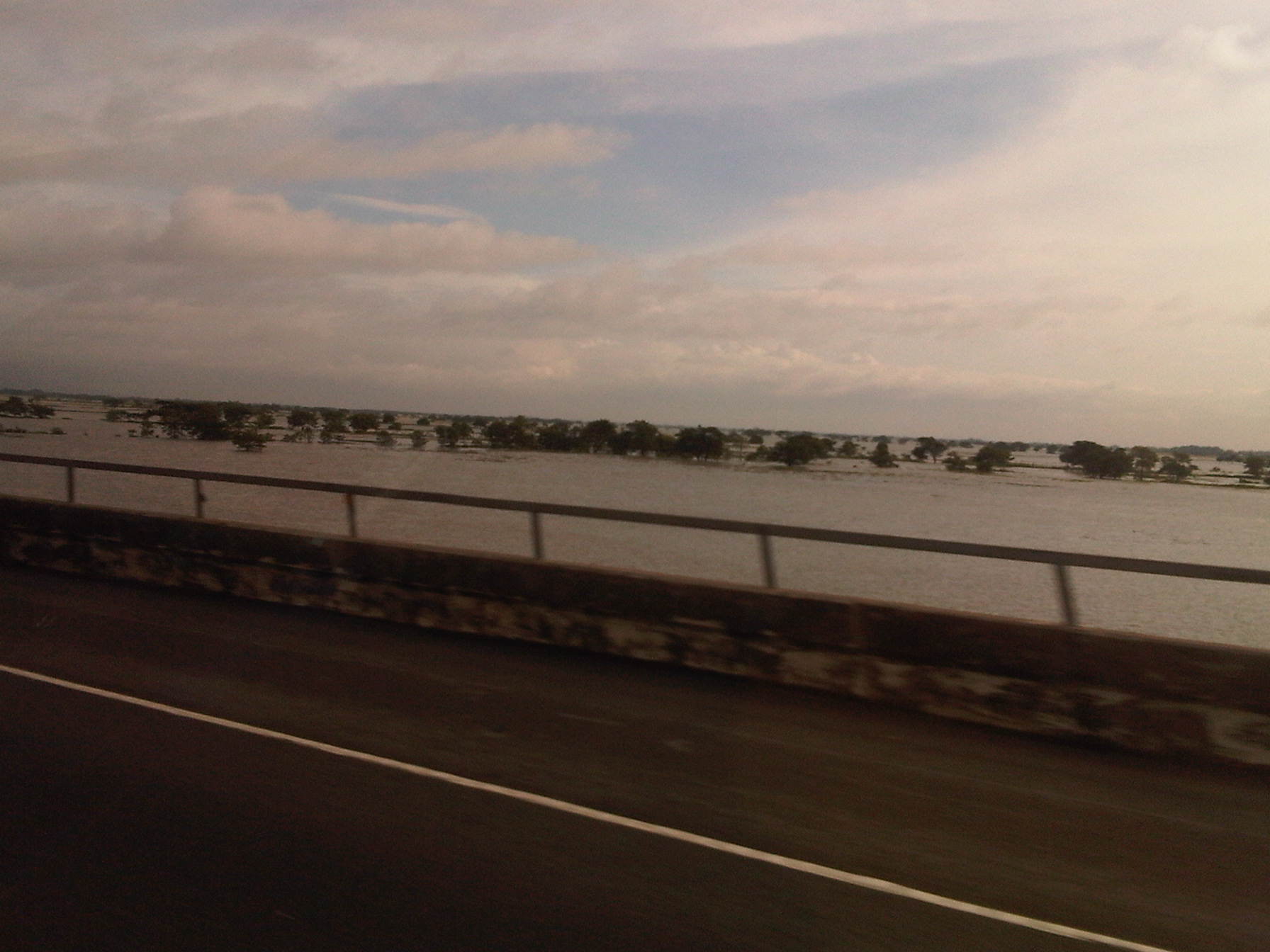 NLEX – Candaba Swamps of Pampanga
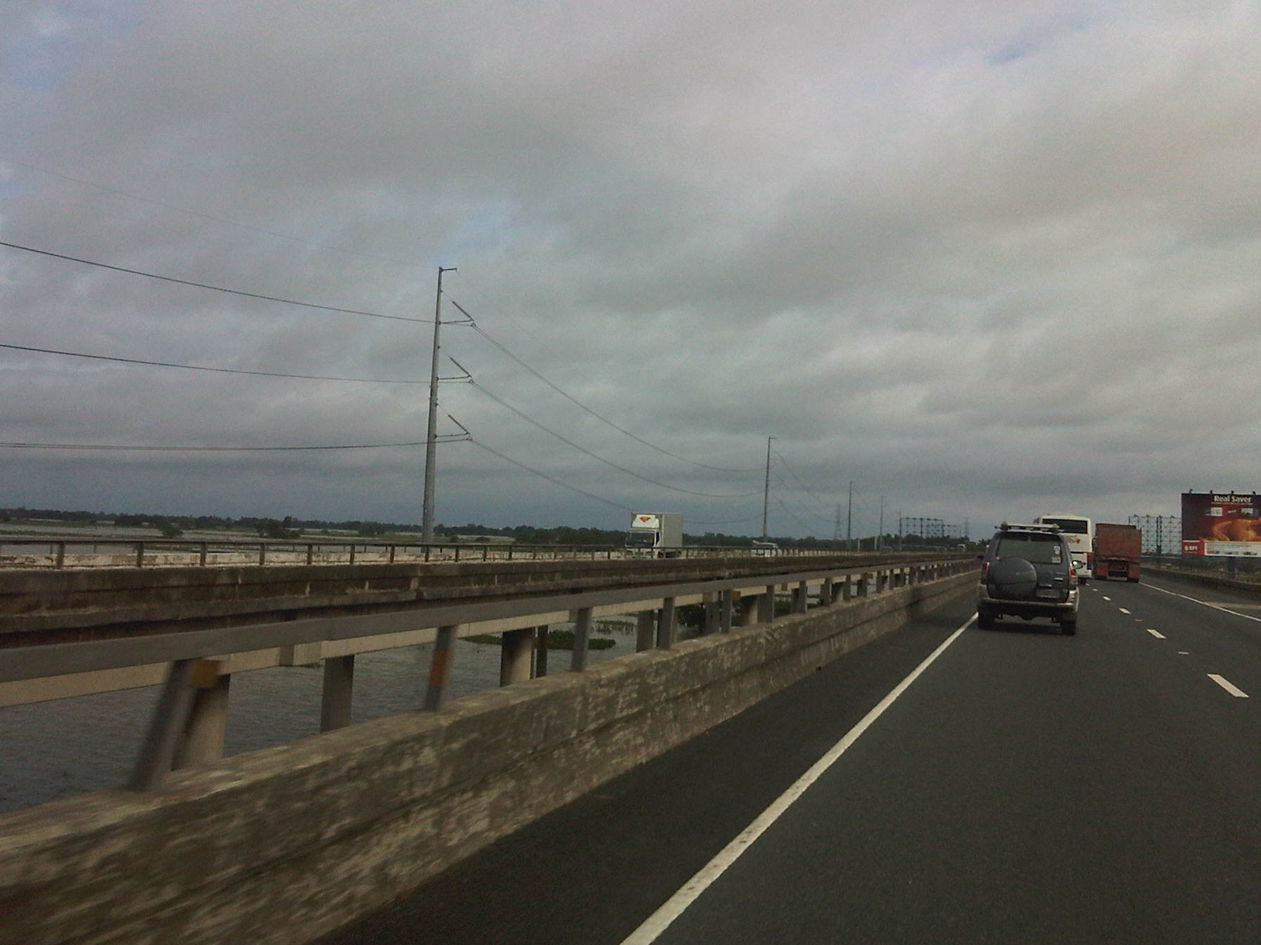 NLEX – Viaduct along the Candaba Swamps
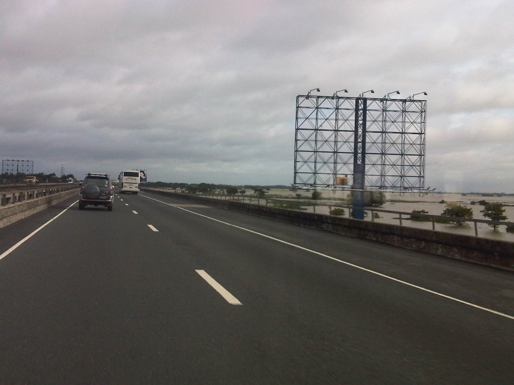 NLEX – Viaduct
 NLEX – swampland as seen from the viaduct
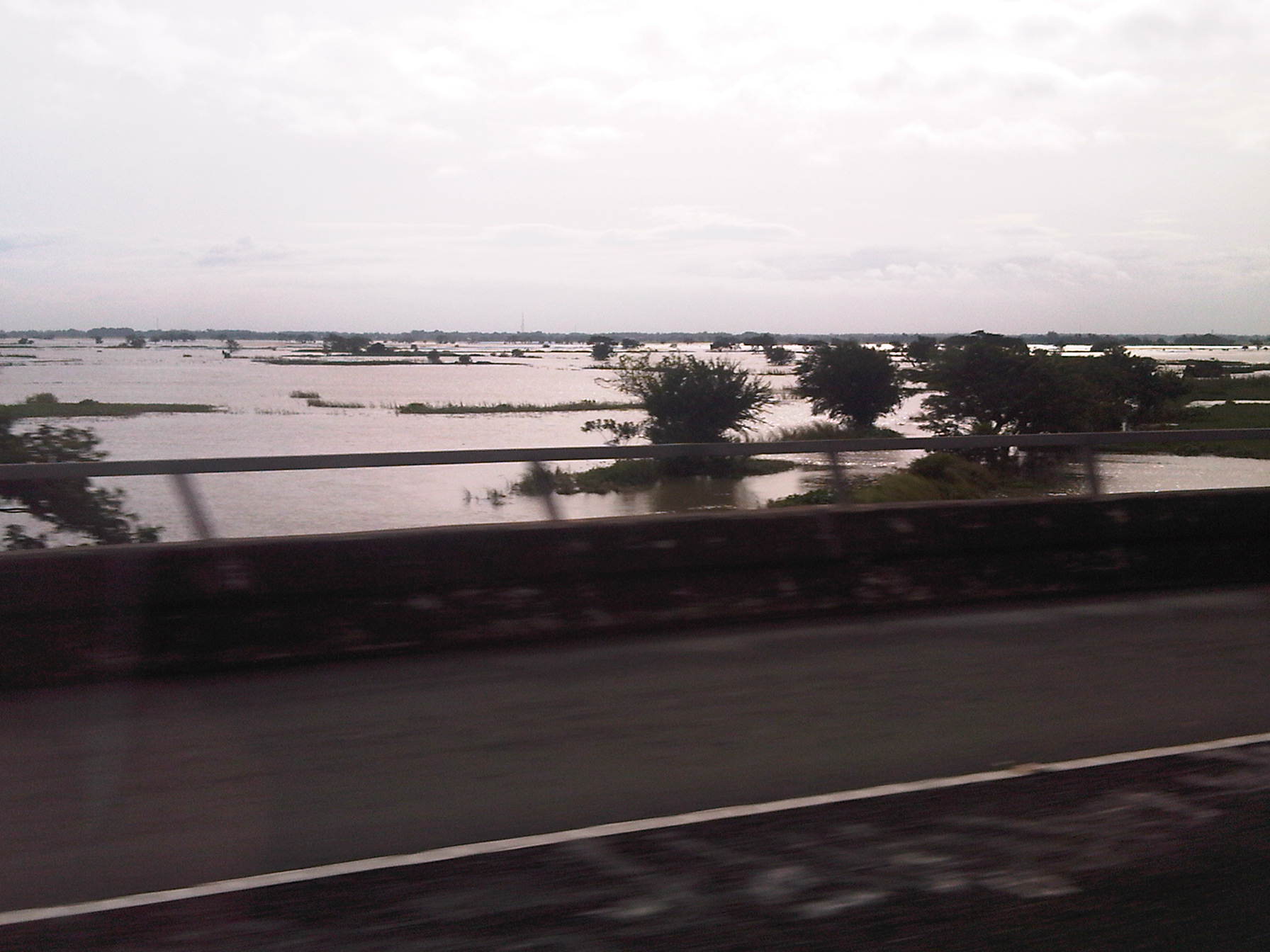 NLEX – large trees scattered across the swamp
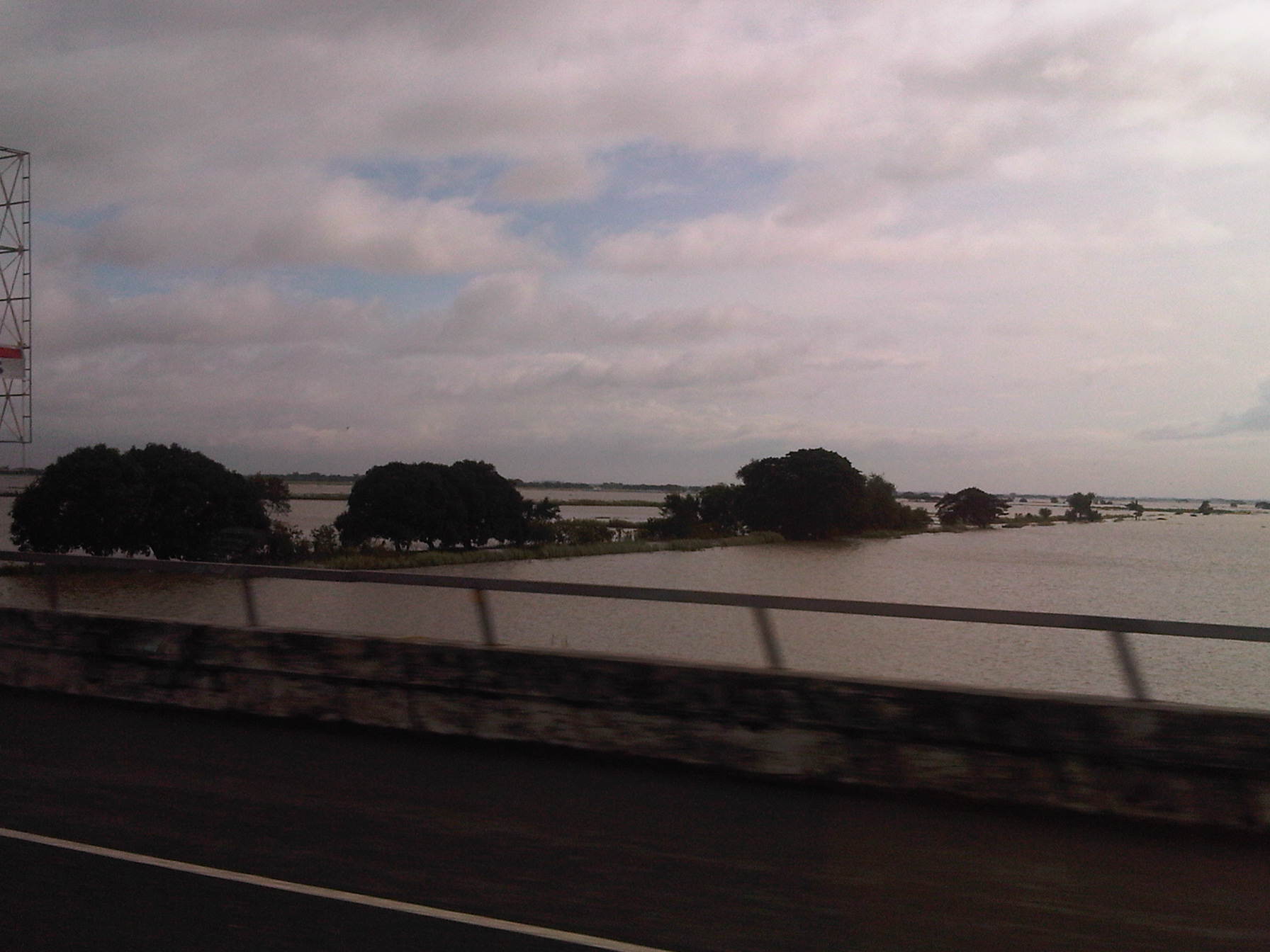 NLEX – a strip of land with large mango trees survives the flooding
 SCTEX – river flowing with muddy waters
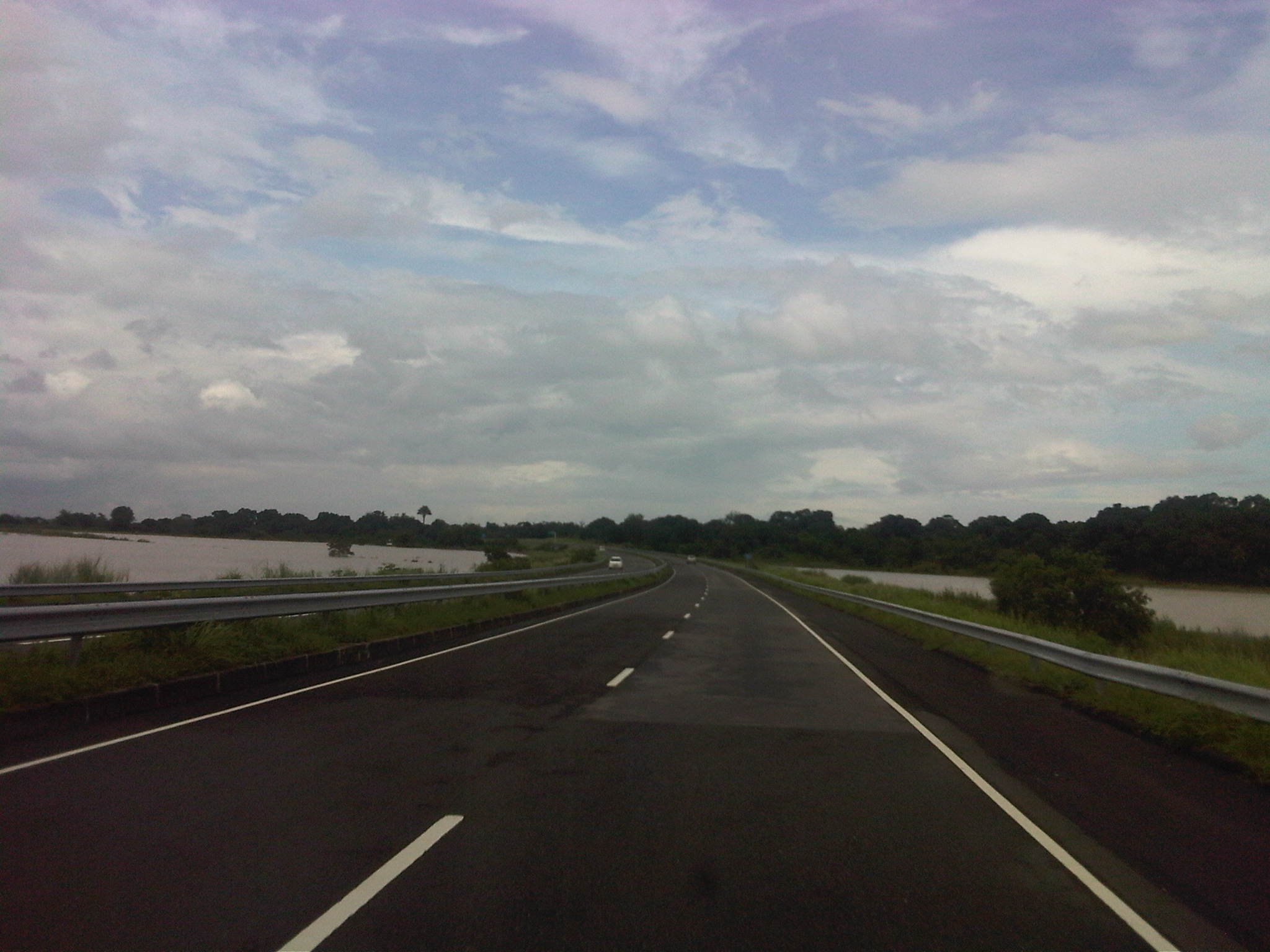 SCTEX – flooded rice fields on both sides of the expressway
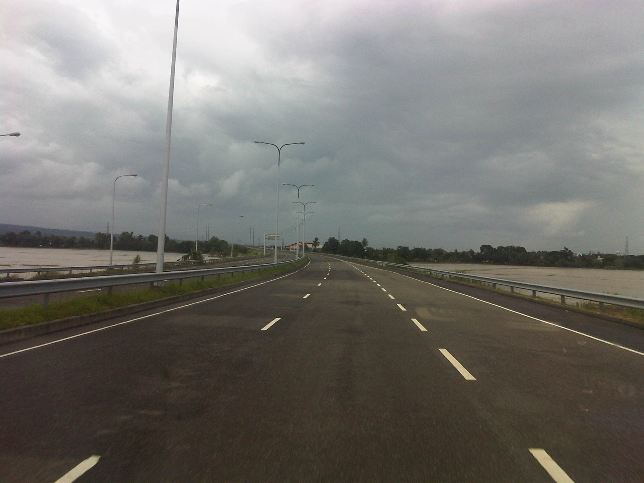 SCTEX – fertile farmlands have been inundated causing much economic losses
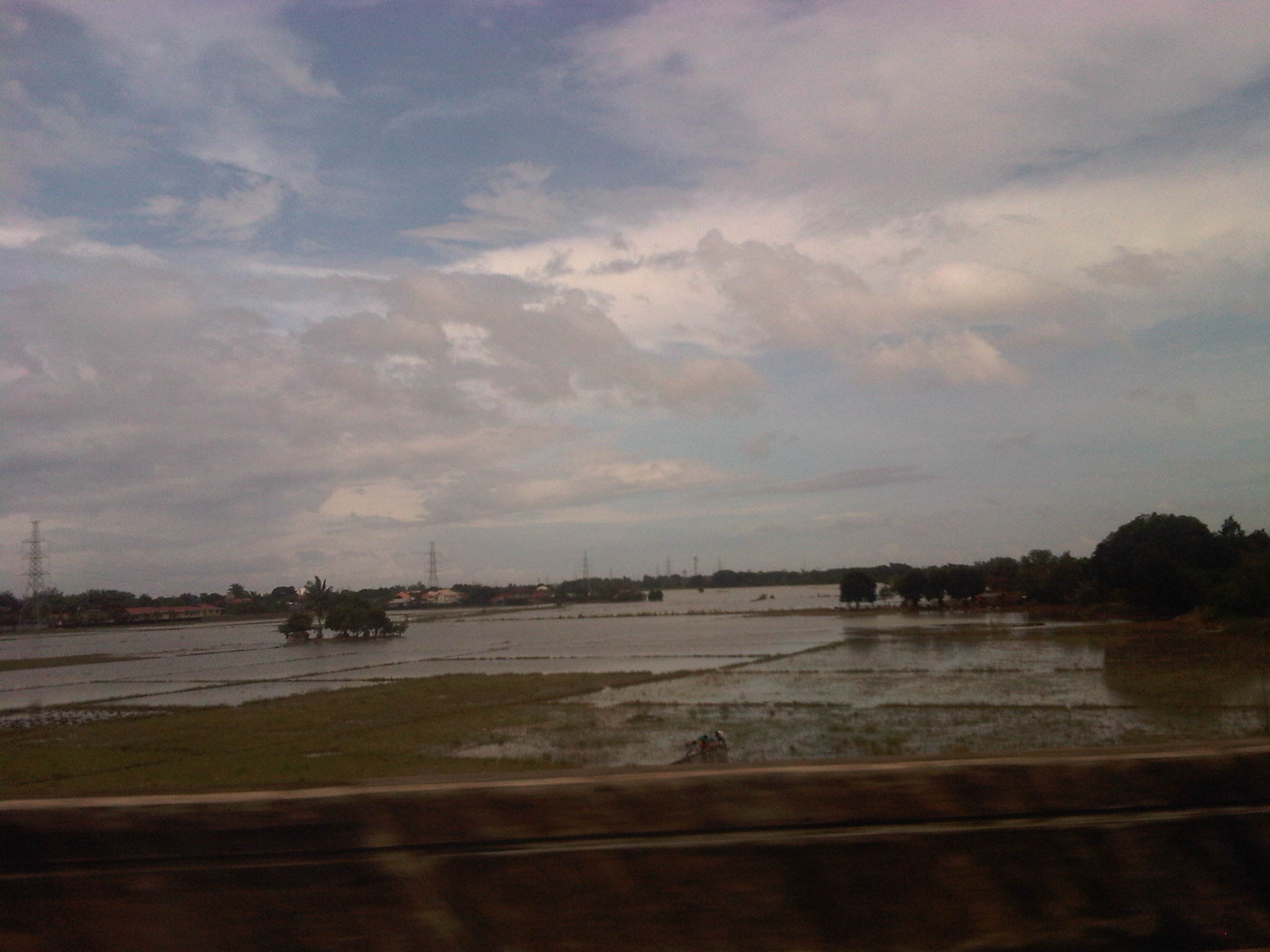 SCTEX – some fields have just been planted with rice when the rains came and flooded these fields
 SCTEX – more flooded fields
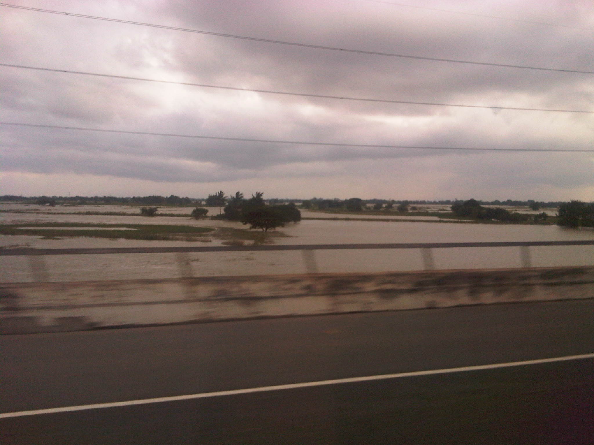 NLEX – scenes are quite similar to those along the NLEX
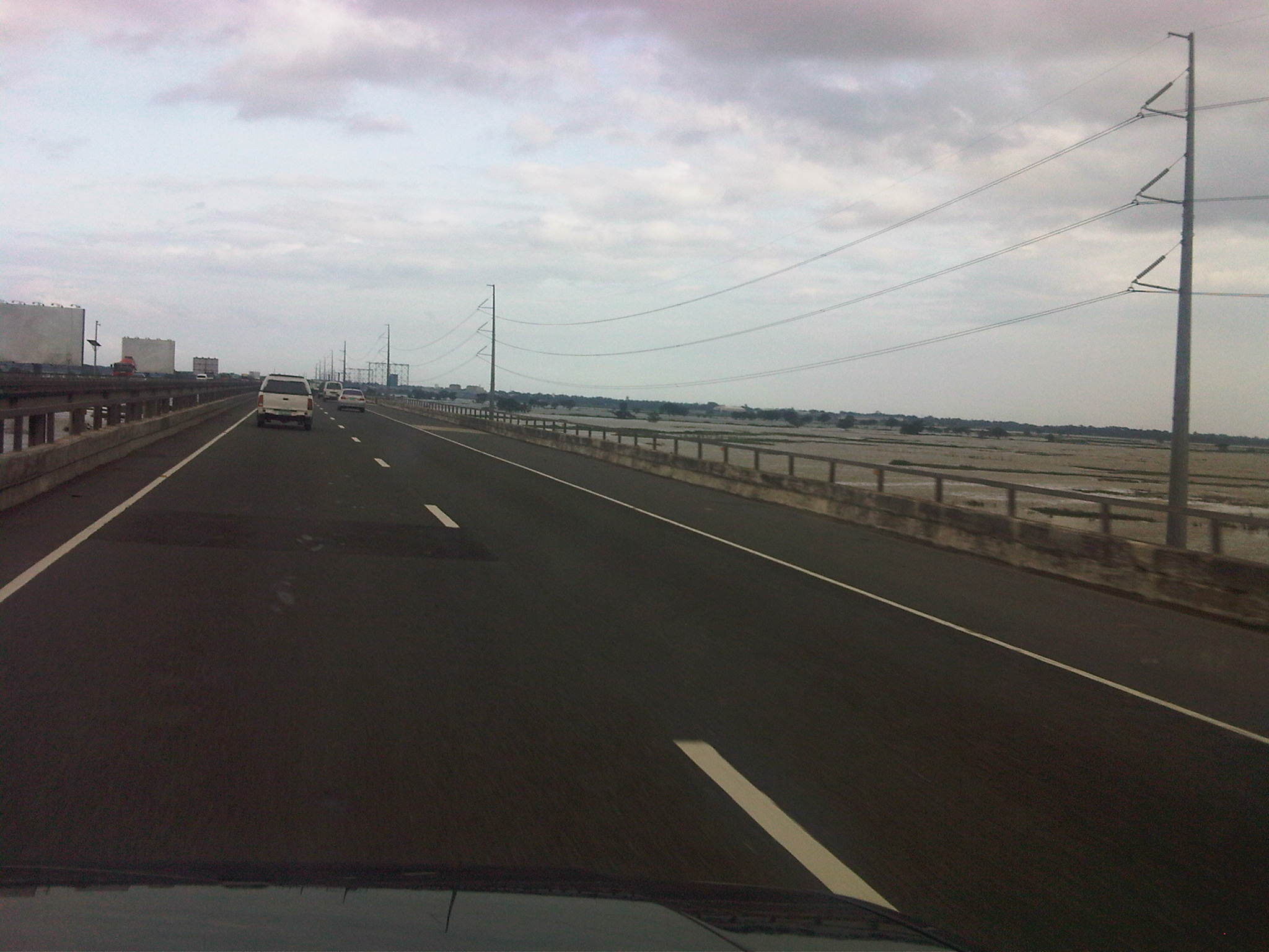 NLEX – flooded fields in Pampanga
 NLEX – Candaba Swamplands as seen from the southbound side of the tollway
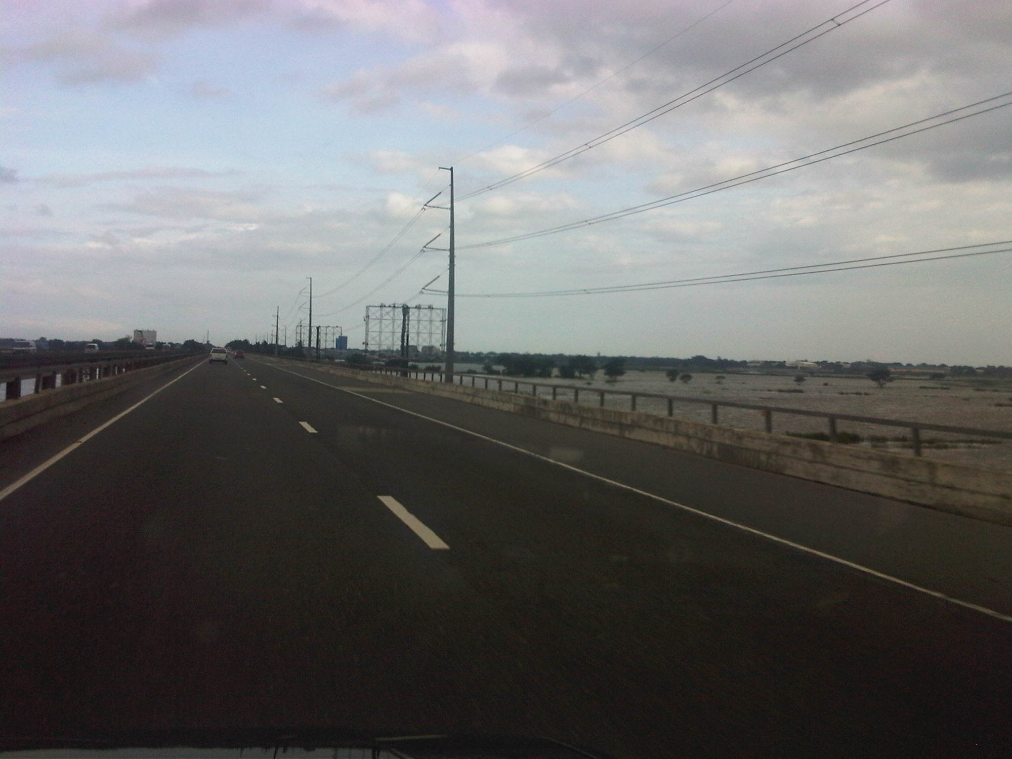 NLEX – floods everywhere in Central Luzon
–
Professorial Chair Lectures on Transportation Topics – 2012
The College of Engineering of the University of the Philippines Diliman recently held its Professorial Chair Colloquium where lectures were delivered by faculty members from the various institutes and departments comprising the college. Four lectures were delivered last August 10, 2012 at a special session held at the Toyota Training Room of the National Center for Transportation Studies. The lectures were on transportation topics and presented by faculty members of the Institute of Civil Engineering who are also Fellows at the NCTS. Following are the lectures and the presentation files in PDF:
Palmiano, H.S.O., Investigation of Road Crash Causal Factors in Metro Manila, DMCI Developers Professorial Chair: Road Safety Researches HSOPalmiano 10Aug2012
Vergel, K.N., Design of Traffic Signal Timing and Traffic Impacts of the Re-Introduction of Traffic Signal Control at the Intersection of the University Avenue and Commonwealth Avenue, Maynilad Professorial Chair: Traffic Signal Timing KNVergel 10Aug2012
Sigua, R.DG., Microscopic Simulation: A Tool for Evaluation of Traffic Schemes, Prof. Emeritus Norbert S. Vila Professorial Chair: Traffic Simulation RDGSigua 10Aug2012
Regidor, J.R.F., Revisiting the Costs of Traffic Congestion in Metro Manila and their Implications, Pozzolanic Philippines, Inc. Professorial Chair: Revisiting Costs of Congestion JRFRegidor 10Aug2012
–
NAIA Terminal 1 Departure
I was able to take a few photos inside NAIA Terminal 1 during one recent trip. Terminal 1 is the oldest of the three main terminals of Manila international airport with the exception of the old domestic terminal. It is this Terminal 1 that was known as the New Manila International Airport until 1986, when it was renamed the Ninoy Aquino International Airport after the husband of former President Corazon Aquino, father of current Philippines President Noynoy Aquino. It is also this Terminal which has been the subject of criticisms for being dilapidated and unfit to be a major gateway to the country, particularly its capital.
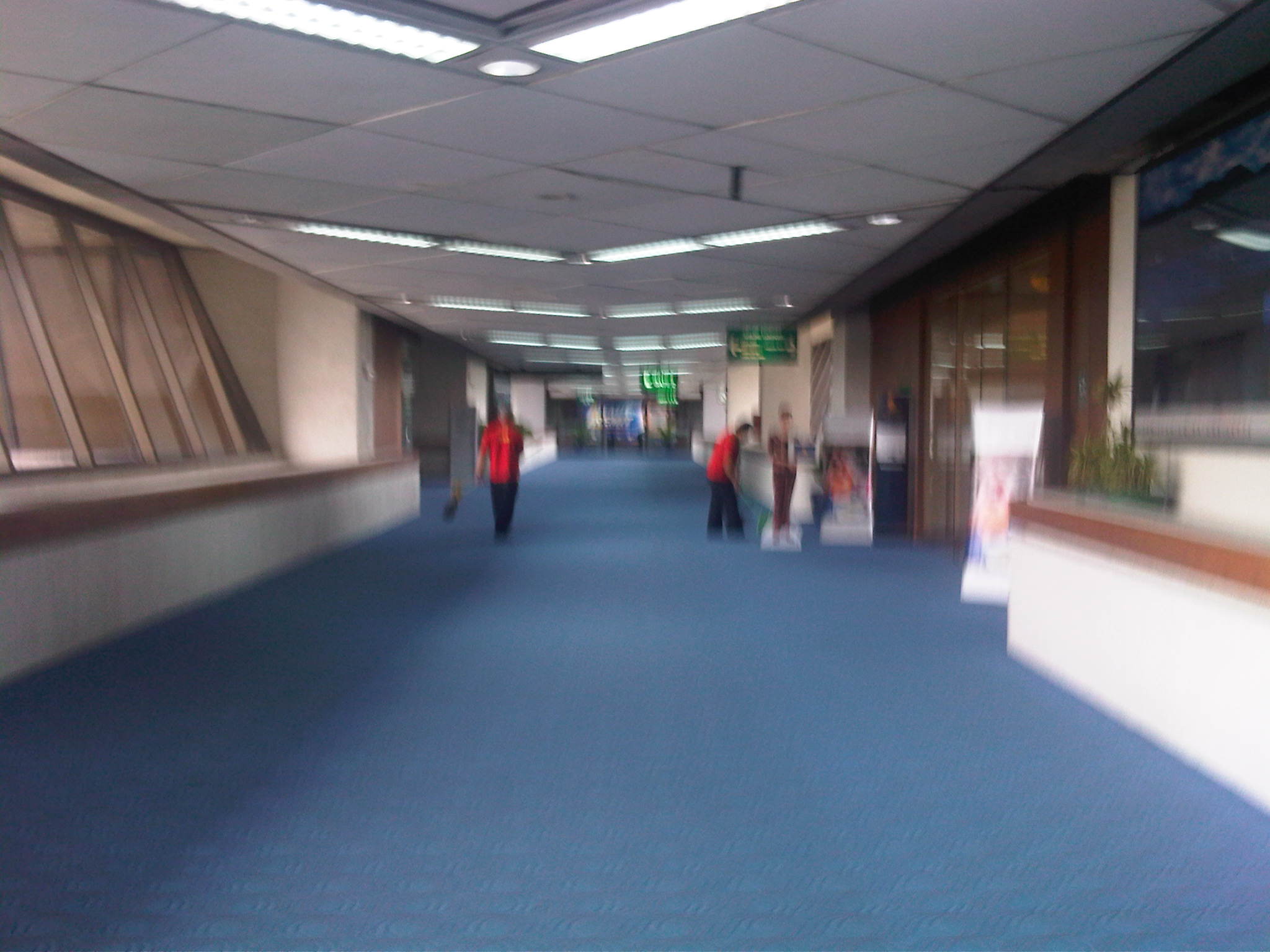 Corridor leading to the pre-departure area and gates at one wing of the terminal – the carpets seem tidy enough and airport staff may be found cleaning the area near one of the airline lounges.
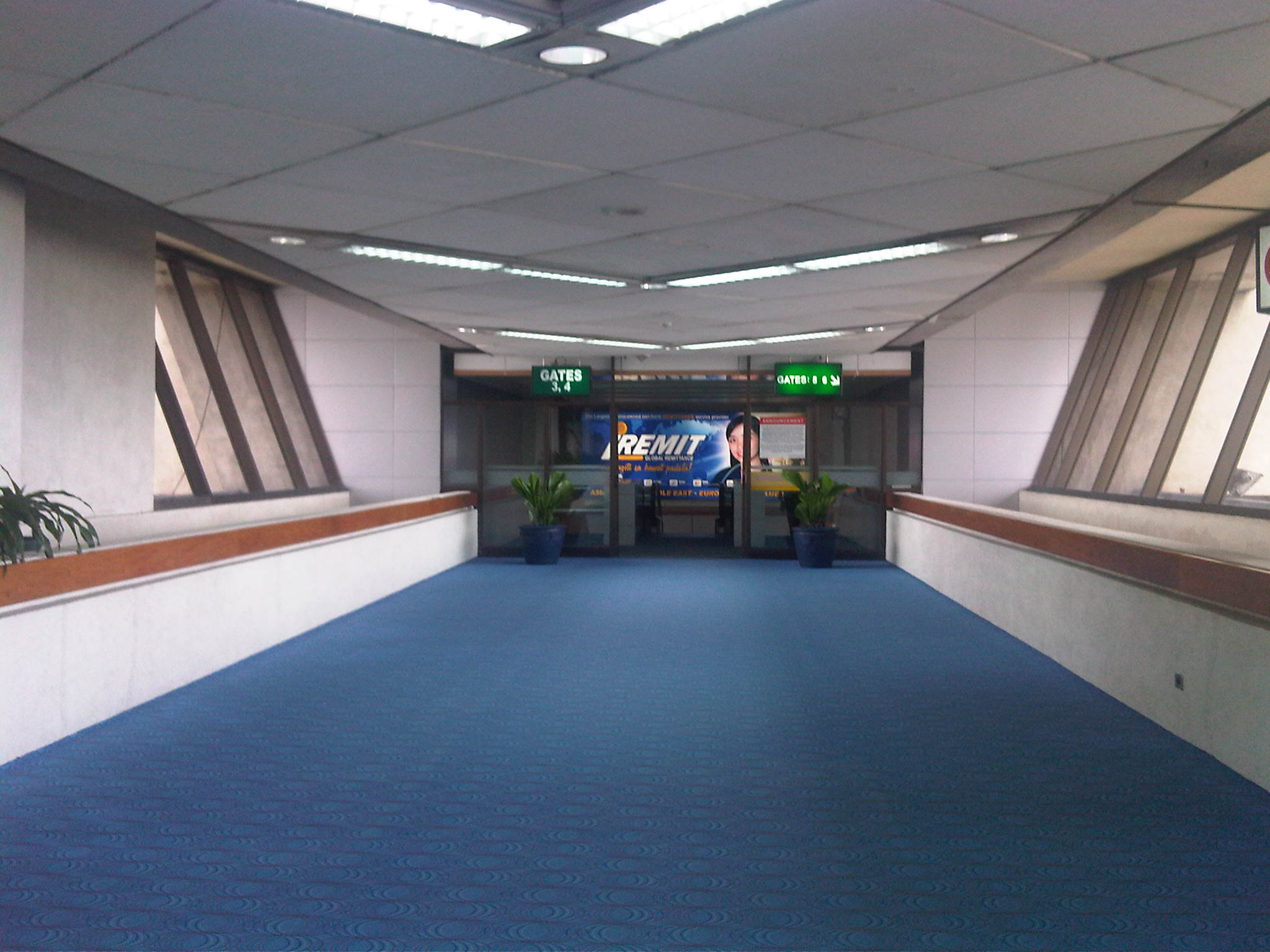 Corridor leading to the pre-departure area – the area
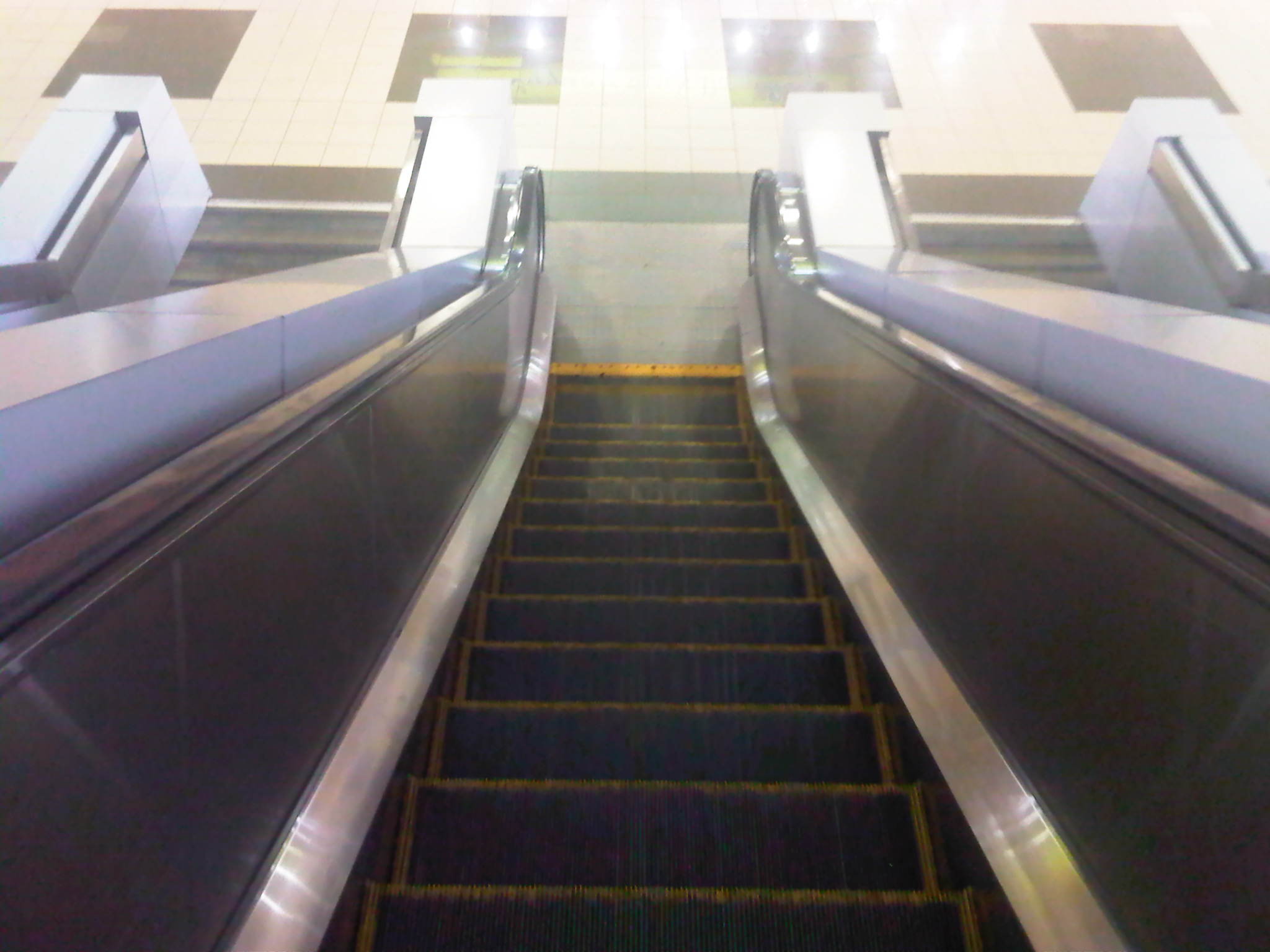 View along the escalator descending towards the pre-departure area – upon reaching the bottom, one will find himself/herself facing counters selling food and drinks to travelers.
 Shops selling local goods like dried fruit, cookies, preserves, souvenirs and other stuff at the pre-departure area of the terminal. Notice the newly tiled floors?
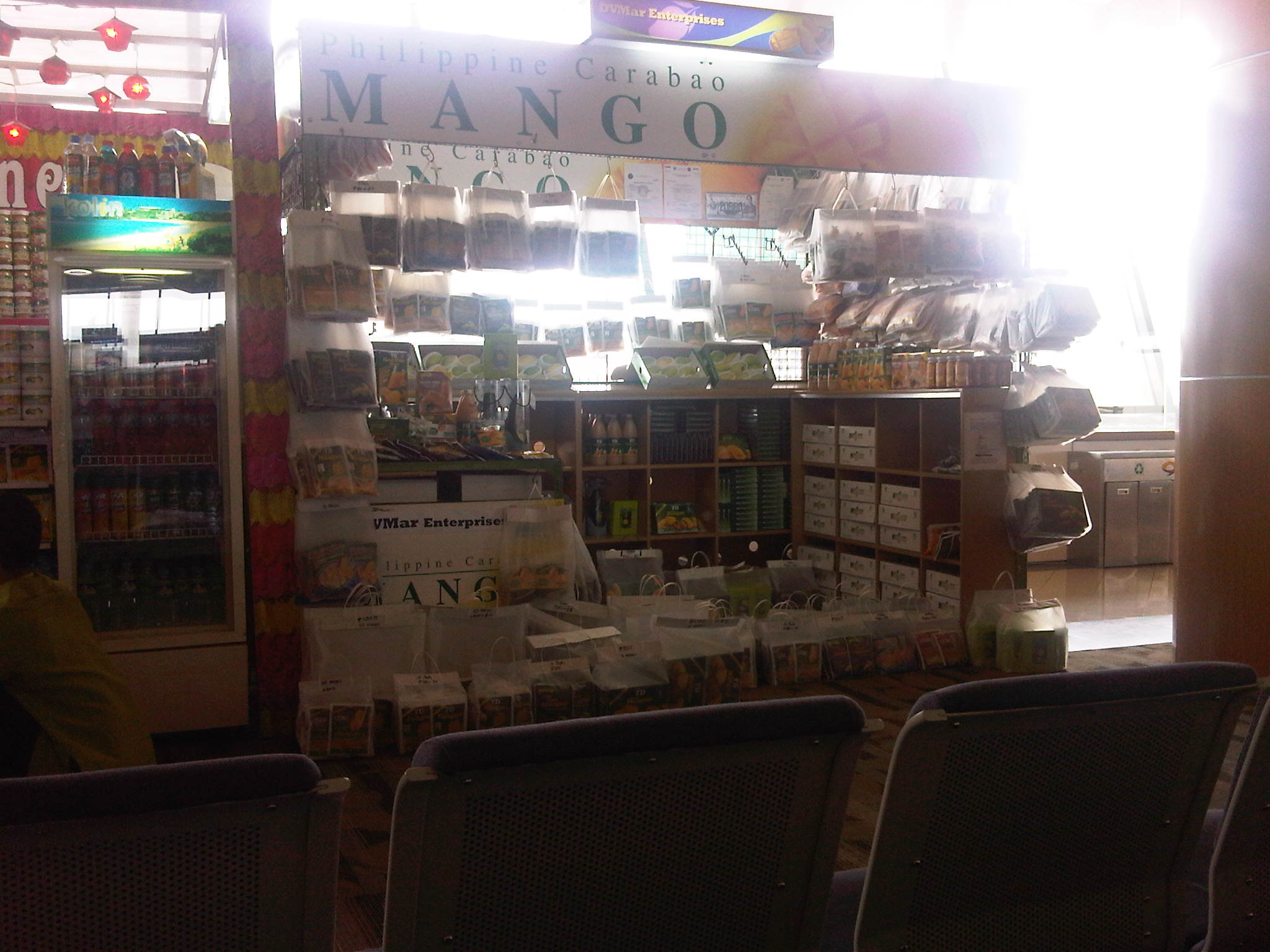 Shop specializing in products made out of Philippine mangoes – they even sell fresh mangoes aside from the popular dried fruit and candies
 Seats at the pre-departure area of the terminal – this is the free seating area that is not associated with any airline. Normally, areas are cordoned off for passenger control and security measures prior to boarding by any airline. The seats are relatively old but are clean and some appear to have been re-upholstered.
 Passengers waiting at the designated area for Singapore Airlines. The airline conducts a security check of all hand-carried baggage for all passengers similar to the practice for US-bound flights.
Admittedly, there is still much work to be done for NAIA’s Terminal 1 in order for it to be able to handle more passengers and well-wishers. There are also a lot to be done in terms of amenities and we can be hopeful that issues pertaining to its facilities will be addressed sooner rather than later.
–
Solutions to floods and traffic in Marikina, Antipolo and Cainta?
Writing about the improved drainage systems along Marcos Highway and A. Tuazon in the cities of Marikina, Antipol and Pasig and the Municipality of Cainta, I was hopeful (along with a lot of other people living in these areas) that the completed projects would be able to handle heavy rains such as those experienced during the onslaught of Typhoon Ondoy (International name: Ketsana) in 2009. It turns out a lot of people’s hopes sank in the floods that have ravaged the areas again and many other parts of Metro Manila and the surrounding provinces this last several days.
Is there a solution to the problem? I would like to think that there is an engineering solution. I cite as an example Malaysia’s experience, particularly in Kuala Lumpur that has also experienced a lot of flooding in the past. To address severe flooding brought about by , they constructed the Storm Management and Road Tunnel or SMART Tunnel . Details for this infrastructure are posted in their website and it does not take a genius to understand what it would take for the Philippines to solve similar problems in its national capital region. [Of course, it helped that the tunnel is also used for traffic!] Too much investment is already established in these cities and it is not an easier task to move people from the affected areas compared with what it would take to build something like the SMART. Sige nga, kaya bang palipatin ang lahat ng tao sa Marikina, QC, Pasig, lower Antipolo and Cainta sa ibang lugar?
Singapore also did major drainage works in that city state along with its subway development. They recognized early on that they had a serious problem and it required sacrifices that are now paying off in terms of them also experiencing heavy rains from the monsoon and yet have minimal or no severe flooding problems like what we have. Such projects are long overdue here and should be the flagship project of any administration who would want to come up with something that they will be remembered for by generations to come – and with smiles on their faces.
–
Changi’s Terminal 3
I have been to Singapore many times but usually go through Terminal 2 and the Budget Terminal. It came as a pleasant surprise that our Singapore Airlines staff announced we were arriving at Terminal 3 instead of at 2. I quickly realized the airline could do this as SIA flew out of both Terminals 2 and 3, with 2 used for flights to Asian destinations and 3 for flights to the US and Europe. Our aircraft would probably be flying to a US or European destination after we deplane. I have heard a lot of good stuff about Terminal 3, which is the newest and largest of the 3 main terminals at Changi. Mostly, I’ve heard and seen (in photos) about it from my wife, whom I trust to know what a good terminal is based on her frequent flights abroad. She has been to more international airports than me including those in Europe and the US. My first impression of Terminal 3 is that it is perhaps the best terminal I’ve seen so far and definitely puts Changi in the Top 2 or 3 airports in the world.
 Crowded Skytrain servicing the Changi Airport Terminals (except for the Budget Terminal, which is accessible via a shuttle bus).
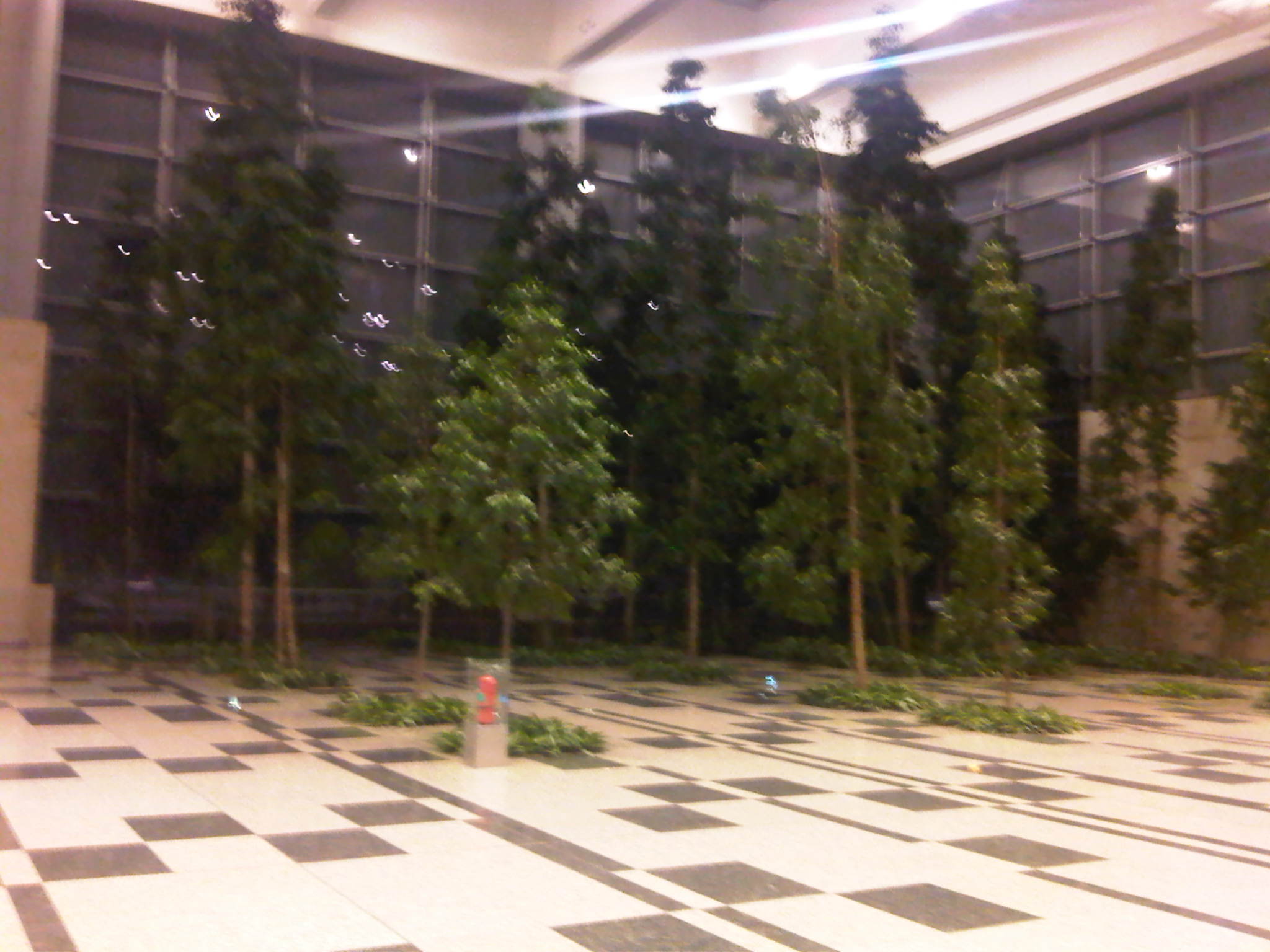 Indoor pocket forest at Changi’s huge Terminal 3 – these were actual trees laid out inside the terminal that visitors could see as they descended the escalators from the concourse to proceed towards the immigration counters.
 Statues of a couple on what looks like real grass with bird flying around them. There was a description near the artwork but opted not to approach and be too touristy considering this area was just before the immigration counters.
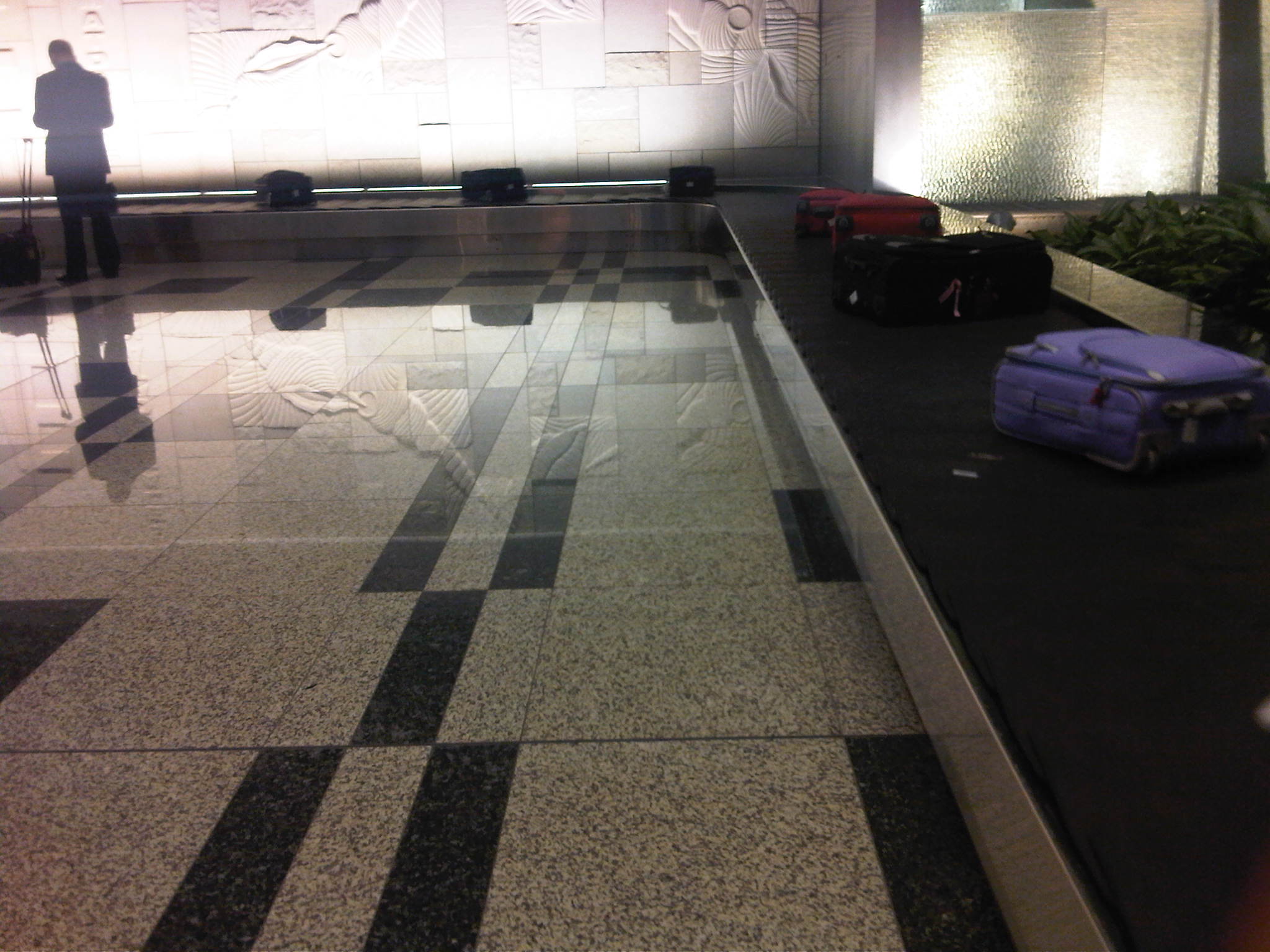 At the baggage claim area waiting for my luggage to arrive via conveyor, I noticed the sparkling floors of the terminal. They actually mirror the relief work of the walls.
–
Davao’s Traffic Management Center
I finally had the opportunity to visit Davao City’ Traffic Management Center, a modern facility that serves as a command center for traffic management as well as for disaster response for what is arguably the largest city in terms of land area in the Philippines. The city is able to monitor traffic via CCTVs installed throughout its road network, particularly at intersections. This allows the city to also respond to incidents like road crashes and to call in police or emergency personnel for various concerns. Traffic signals are also controlled from this facility. Our visit to Davao was upon the invitation of the City Mayor, Hon. Sara Duterte, and we had a meeting with the City Planning and Development Coordinator, Mr. Roby Alabado, who was a faculty member of UP Mindanao and a very active public servant. With me was Dr. Ric Sigua, Professor at UP Diliman’s Institute of Civil Engineering and the current head of the Road Safety Research Laboratory of National Center for Transportation Studies.
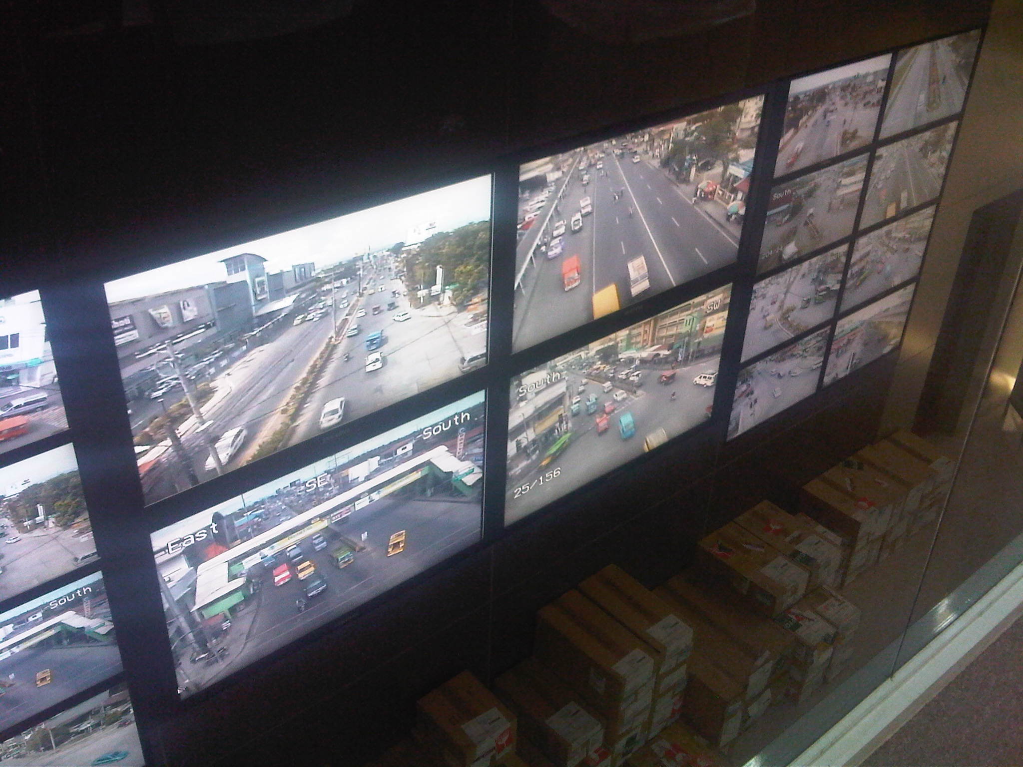 This is a view of the control center screen (actually comprised of several LCD screens) from the conference room of the TMC. Normally, there is a curtain screen covering the glass wall that they can raise in order to give people a view of the video screens.
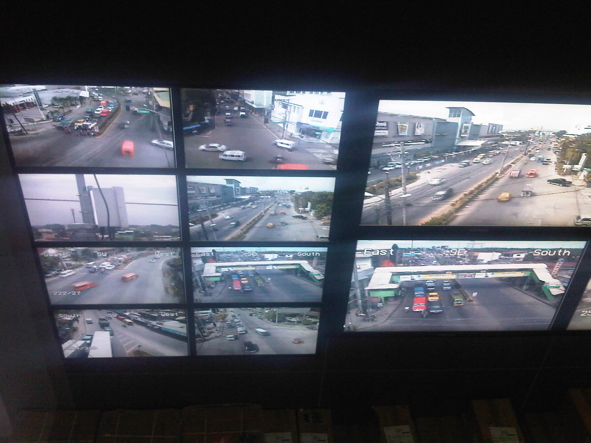 Each screen can be made to show conditions at different locations and staff can control the camera view from the command center. This control allows them to pan, zoom and just about see what goes about at different locations in the city.
 Cameras installed around the city are high definition and can focus and provide clear shots of license plates.
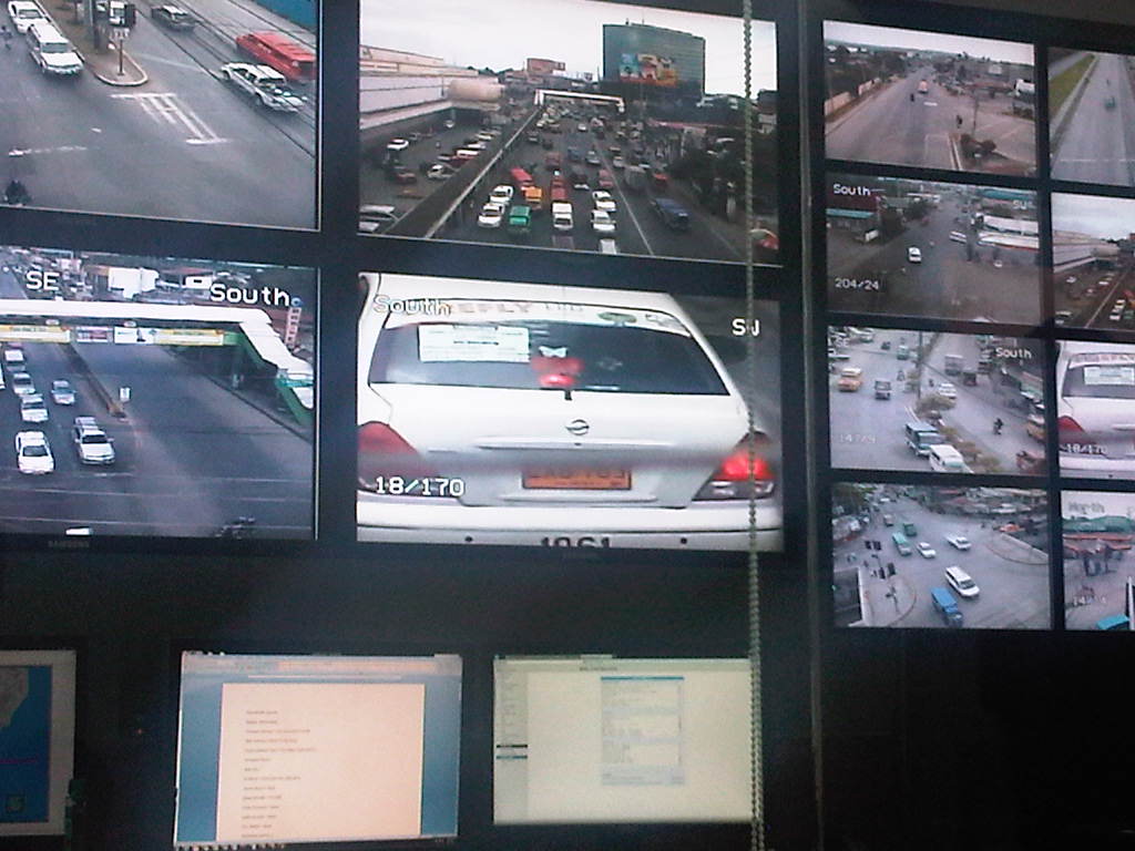 Close-up of a taxi among other videos of areas being monitored. Cameras can also focus on particular people such as a driver trying to bribe himself out of a traffic ticket.
 Videos, particularly those of incidents, are recorded and archived for future reference including reviews related to road crash investigations. Streets are well-lighted to allow for clear capture of incidents at night. In the photo, a truck is observed hitting a jeepney from the rear at an intersection with light traffic.
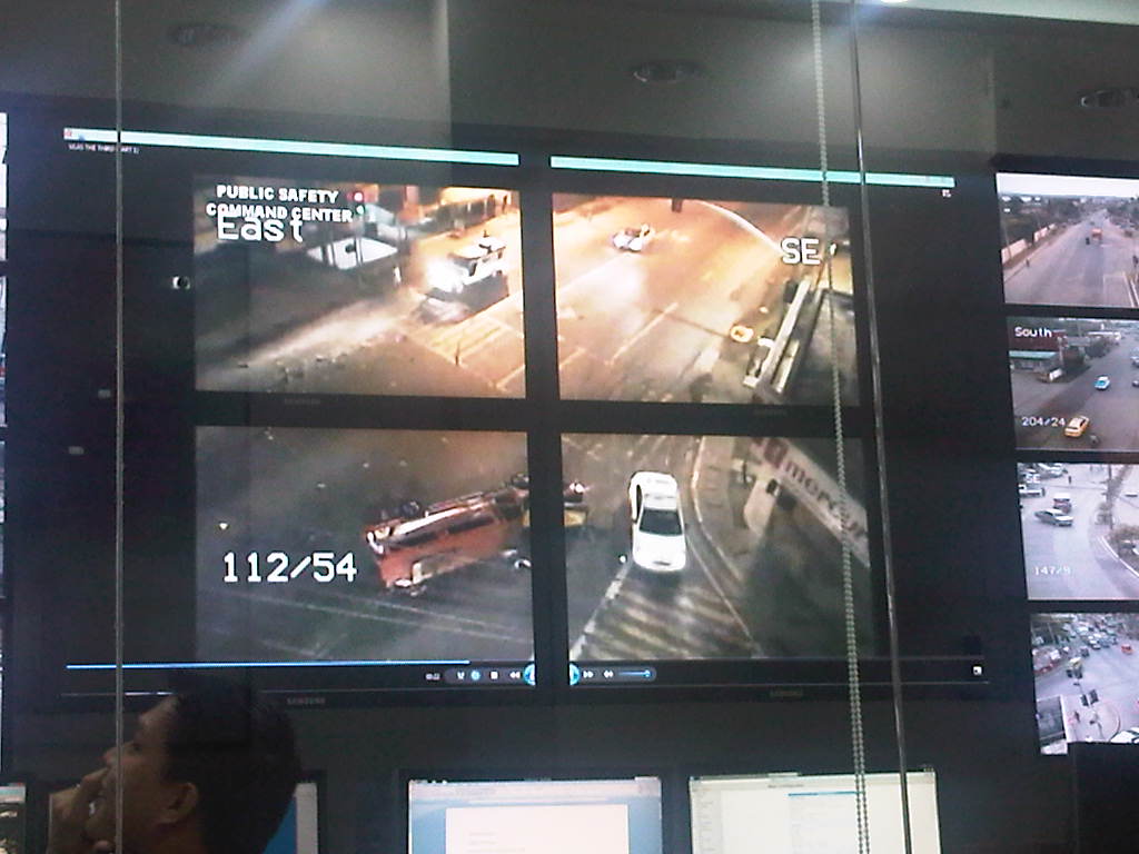 The aftermath of a road crash incident involving a truck and a jeepney shows the latter on its side.
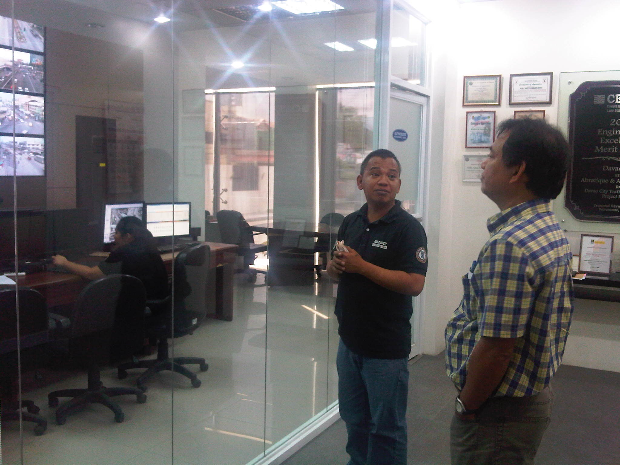 Dr. Sigua being briefed by TMC staff about their capabilities.
 Dr. Sigua with Davao’s Mr. Roby Alabado (City Planning and Development Coordinator) and Mr. Dick Coridel (OIC of Traffic Management Center).
Major cities in the Philippines should have similar facilities for traffic monitoring and management that could also be employed for other purposes as well. The latter may include incident detection, response and management such as emergency response for medical, fire or even security-related incidents. So far, I do know that Metro Manila has two such centers – one with the MMDA and another with Makati City. Cebu has one but it badly needs upgrading including the acquisition of CCTV cameras as they prepare to also upgrade their traffic signal system that was once the most sophisticated in the country.
–
School traffic impacts – issues along Ortigas Ave., Part 2
I had written recently about traffic congestion along Ortigas Avenue that is due mainly to traffic generated by a private school in the area. In the previous post, the photos only show vehicles parked on the sidewalks on either side of the road. They did not show the actual traffic congestion experience. The parked vehicles seem more incidental and indirect than concrete evidence of congestion brought about by school traffic generation though they are a definite manifestations of parking generation, which is directly related to traffic generation.
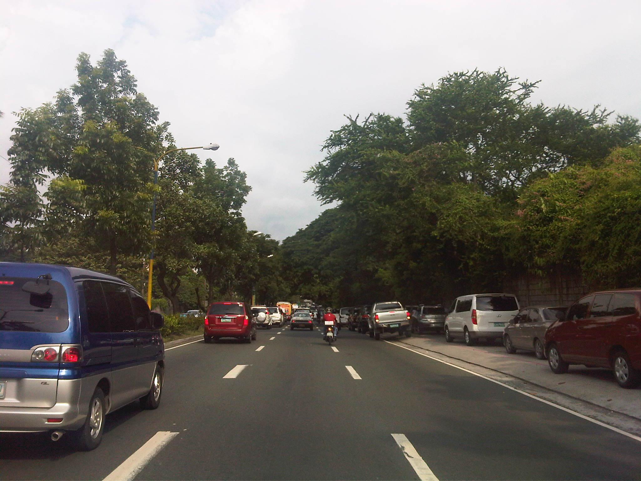 Parked vehicles on the sidewalk are seen as we approached the tail of a very slow moving platoon owing to the congestion generated by an exclusive school.
 Traffic jam with road capacity reduced by the parked and standing vehicles along the EDSA-bound side of Ortigas Ave. The trees are witnesses to the chronic traffic jams and help alleviate their impacts by absorbing emissions from the vehicle.
 Severe congestion as we approached the school – the overpass downstream in the photo is a reference for where the school is located
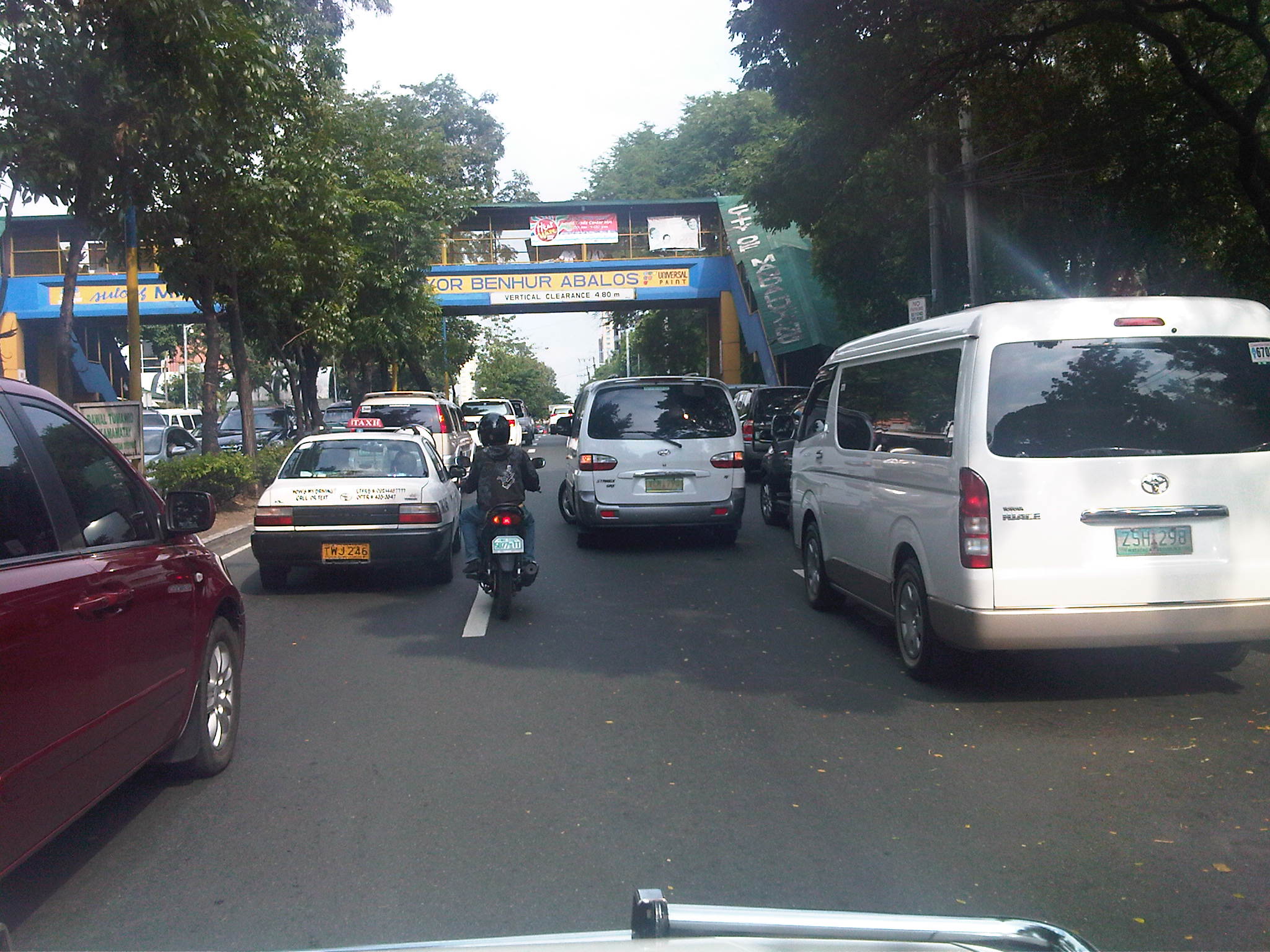 The overpass bears the name of the mayor of Mandaluyong City, where this school is located and which has jurisdiction, together with the MMDA, for traffic management in the area. At the time we passed the area though, there were no enforcers in the area despite the severe congestion. Is this because they gave the responsibility (or burden) of managing traffic to the school? Perhaps there was no need to post enforcers here as congestion is a regular thing and people seem to have been conditioned with the almost daily experience.
 The area at the foot of the pedestrian overpass actually functions as a pick-up and drop-off area for students of the school. As such, vehicles occupy not just the the sidewalk but also more than a lane of Ortigas Avenue. This effectively constricts traffic along this major road.
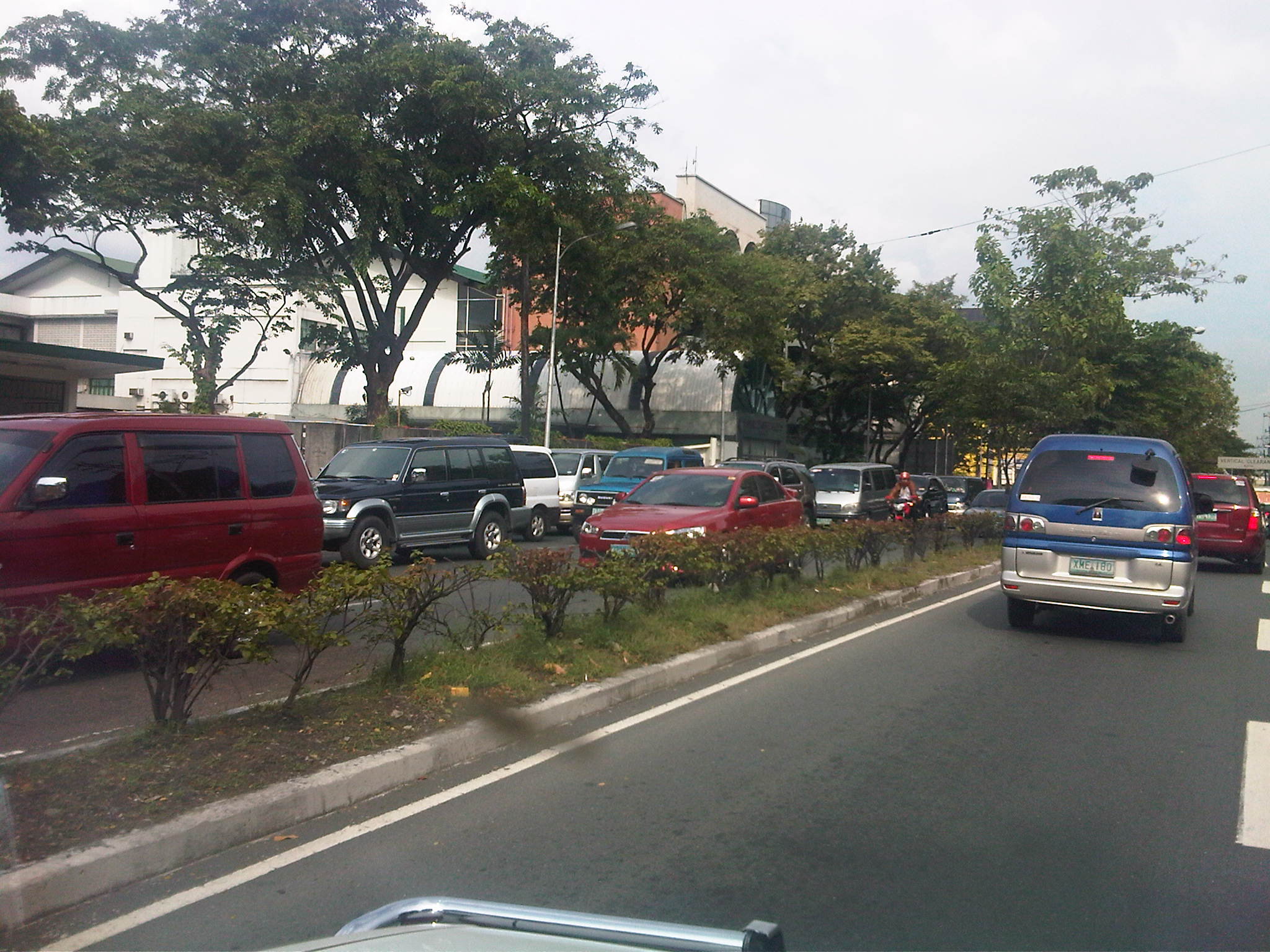 Traffic is slow along the San Juan-bound direction of Ortigas as vehicles waiting for their passengers (students of the school) are lined up and occupying the outermost and even the middle lane of the road.
 This queue is not entirely attributed to traffic generation by the school but is likely due to traffic management at the EDSA-Ortigas intersection, which is signalized. If the signal setting is not optimized or if the intersection is not cleared of straggler vehicles, traffic is backed up along all the approaches to the intersection. The tall building in the background hosts DOTC’s headquarters. I wonder if our officials are taking in the congestion that occurs almost daily (weekdays) and if they are even crosses their minds how to solve this problem and others like it around the country.
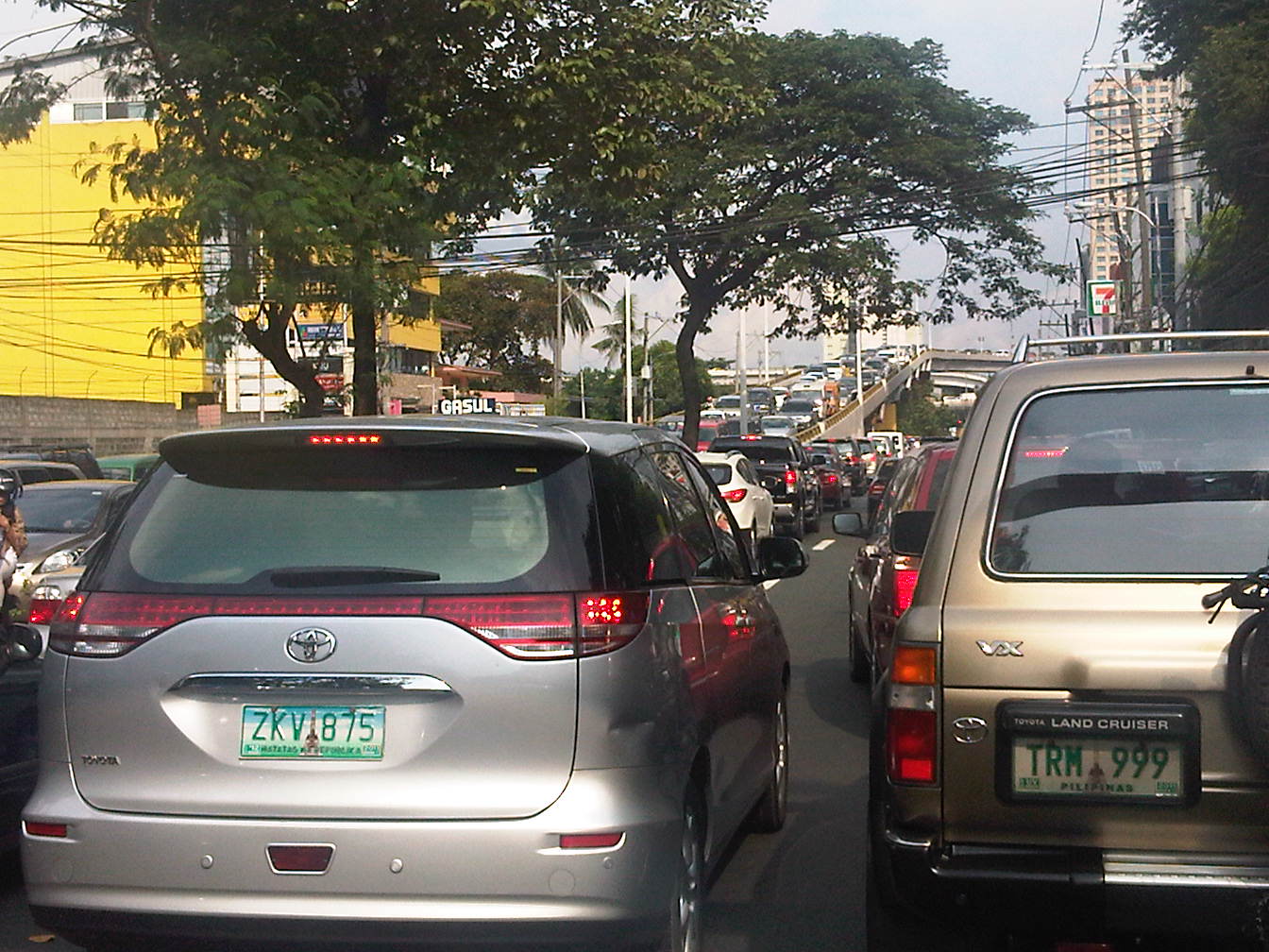 Proof that congestion is along both directions of Ortigas Ave. is seen in the middle of the photo where vehicles are also backed up along the overpass ramp coming from EDSA’s northbound side. For what it’s worth, the DOTC headquarters is right along this road at the building where the 7-Eleven (sign visible in the photo) is located.
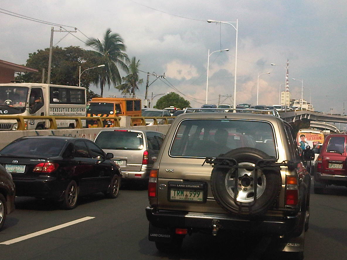 Another and even closer look of what is literally bumper-to-bumper traffic along both sides of Ortigas Avenue during the afternoon peak triggered by the exclusive school along its San Juan-bound side. Visible in the photo is the congestion along the overpass from EDSA.
–
Paratransit in Davao City
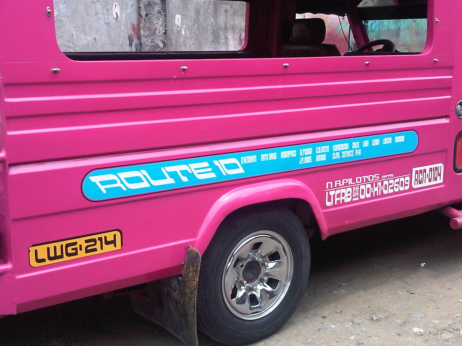
While visiting a jeepney assembler in Davao, we took the opportunity to take not a few photos of paratransit vehicles along one road in Davao City. Of particular interest to us were what appeared to be three-wheelers that resembled the tuktuks of Thailand and the four-wheeled multicabs that served as an intermediate mode with passenger capacities between that of the tricycle and the typical jeepney.
What at first seemed to be three-wheelers were actually four-wheeled vehicles. For propulsion, they used typical motorcycles but instead of one-wheeled sidecars like the typical tricycles found in many cities and towns across the country, the fabricated body has 2 wheels and provided for two benches to accommodate more passengers.
Following are photos of these 4-wheeled paratransit vehicles we took while visiting a jeepney assembly in Davao. While there is a basic form for each vehicle, there are actually some distinct features for each, probably the manufacturer’s or assembler’s signature. There is no distinct color for any particular route so commuters would have to check the panel information before flagging one to make sure whether the PUV serves their destination although these seem to have fixed routes.
 Maroon body with white roof [Agdao – Jerome route]
 Gold body and roof [Agdao – South Bay route]
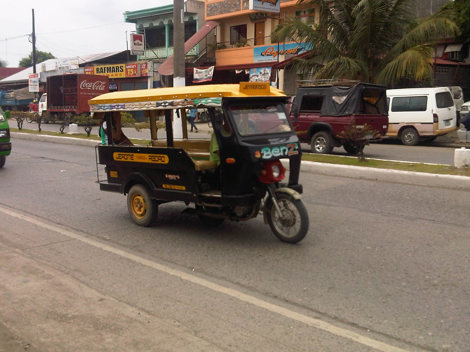 Black body and yellow roof [Agdao – Jerome route]
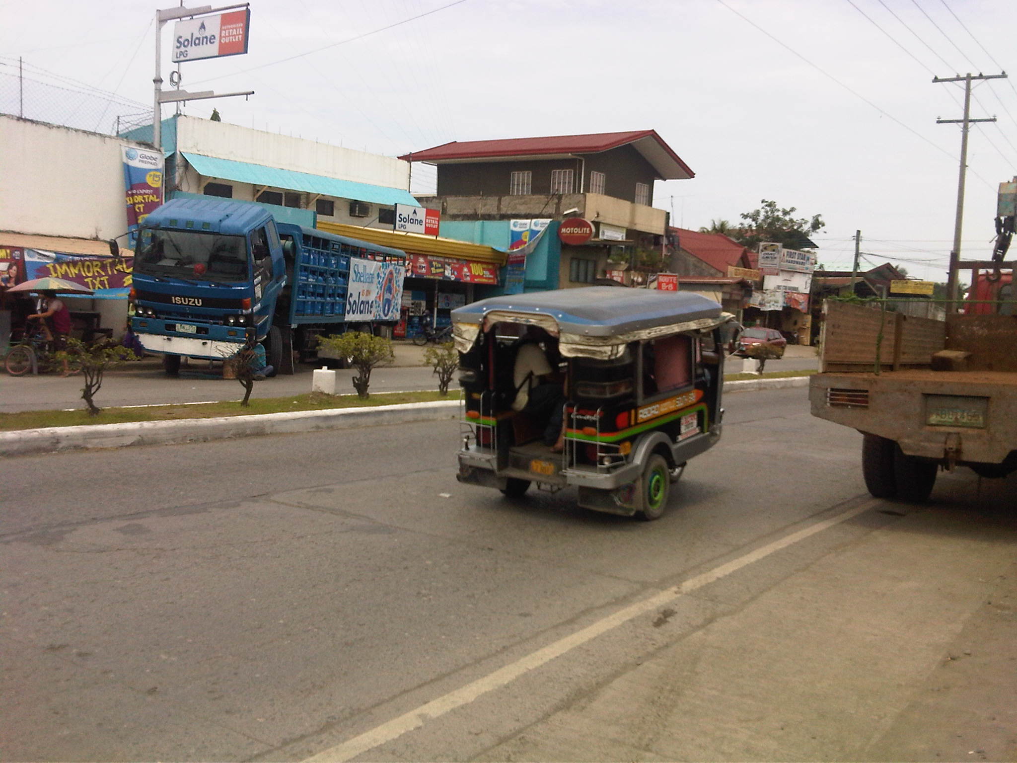 Black body and blue roof [Agdao – South Bay route]
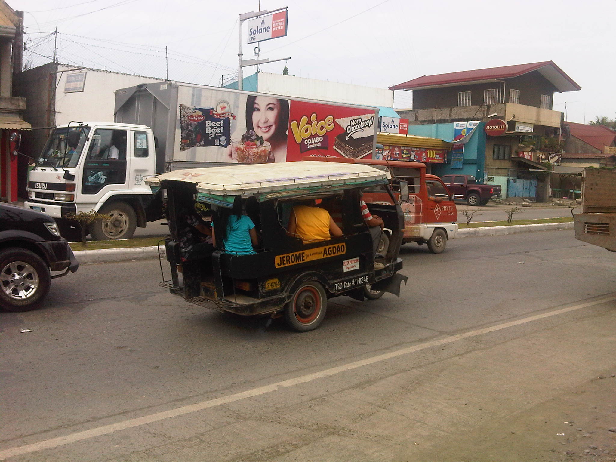 Black body and white roof [Agdao – Jerome route]
We were also able to observe another form of jitney, which are generally called multicabs in the Philippines. The term multicab seem to have originated from a brand for these 3-cylinder engine vehicles that are fitted to carry passengers or in some cases as small freight vehicles. These are very popular in the Visayas and Mindanao where they typically seat 10 – 14 passengers excluding those in the front seat. The vehicle is narrower than the typical jeepney so only two people can usually fit in the front.
 12-seater multicab
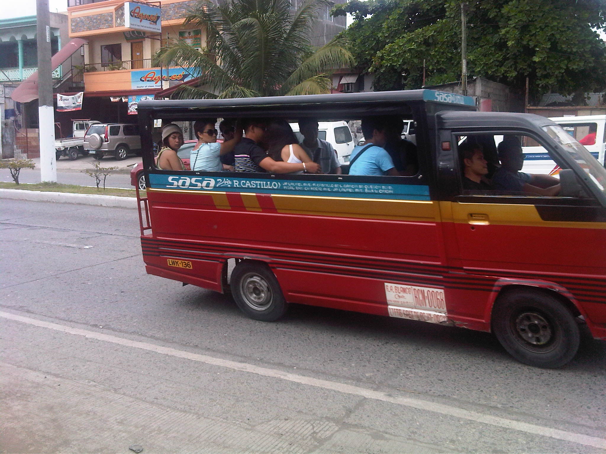 14-seater multicab
 Typical jeepney design in Davao
–

